
Digital Intelligence: Organizing Your Season with Waypoint Precision
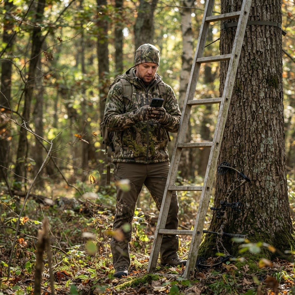
Elevating Your Scouting Strategy
Success in the field is rarely a product of pure luck; it is almost always the result of refined, consistent preparation. For many hunters, the early season involves a mental tally of stand locations, camera spots, and pinch points. However, as the season progresses and the terrain becomes more complex, relying on memory alone can lead to missed opportunities. By utilizing the available on Buckeye Hunter Hub, you can shift your scouting from a guessing game to a calculated, data-driven operation.
Free hunting map, zones & 50-state resources
Save your spots, share zones with your group, and get deer & waterfowl movement forecasts — free.
Digital waypoints act as the anchors for your entire hunting strategy. When you take the time to log your equipment and observations spatially, you gain a birds-eye view of how deer or waterfowl move across your property in relation to your setup. This is the difference between simply 'going hunting' and executing a specific, well-researched plan.
The Anatomy of an Effective Map
A map is only as useful as the information plotted on it. Before you head out, think of your property in layers. First, you have your permanent infrastructure—your ladder stands, ground blinds, and box blinds. Second, you have your dynamic assets—the trail cameras that track the shifting patterns of the local herd.
By placing distinct waypoints for each of these elements, you can quickly visualize your coverage. If you see a cluster of cameras on one side of a creek but your stand is a quarter-mile away, you might be missing a vital crossover point. The interactive map allows you to toggle these layers on and off, helping you see the 'blind spots' in your strategy that aren't obvious when you’re standing on the forest floor.
How to Drop and Manage Your Waypoints
Using the Buckeye Hunter Hub interface to pin your locations is designed for speed and ease, whether you are sitting at your desk or checking the app from the back of your truck. Follow these steps to refine your digital scouting:
1. Select the Correct Asset Category
Start by opening your map view and selecting the 'Create New Waypoint' tool. Most successful hunters categorize their pins immediately. By using unique icons or labels for 'Stand,' 'Blind,' and 'Camera,' you can filter your map later to view only what you need. This keeps the interface clean and allows you to quickly locate specific gear during a dark morning setup.
2. Precise Placement and Notes
Don't just drop a pin in the general vicinity of a stand. Use the satellite imagery to drop the pin exactly where the tree or blind is located. Once the waypoint is created, use the notes section to record critical details. For a stand, log the preferred wind direction for hunting that spot. For a trail camera, note the battery change date or the last time you checked the SD card. These small bits of metadata turn a simple digital dot into a living record of your season.
Washington · E-Tag State

Washington Harvest Tags
E-check means you supply the tag. Printed with the exact fields Washington requires.
3-pack $22.95
3. Review and Realign
Once your primary assets are marked, look for the 'gaps.' If you have cameras documenting movement through a bedding area but no stand location that provides a safe entry or exit route, the map will highlight that deficiency immediately. This is the perfect time to consult to see if your current setup aligns with how animals actually traverse that specific terrain.
Integrating Data for Smarter Moves
One of the most powerful aspects of digital mapping is the ability to correlate your physical waypoints with broader environmental intelligence. Once you have your stands and cameras marked, overlay your map with current forecast data.
Raise a safe, confident young hunter.
Guide your kids ages 5–17 through interactive hunting safety missions, real decision drills, and earned trophies — all from one free parent account.
Bonus: every $10 you spend in the BHH shop earns a free seat (up to 5). Use them or share them.




If you see a cold front approaching, use your map to identify which of your stands provides the best cover for those conditions. If you are targeting migratory birds, compare your blind locations against local to ensure you are positioned for the best possible flight path.
For those who really want to dial in their performance, remember that your waypoints are not permanent. The most effective hunters move their gear based on the season. If your camera reveals that the bucks have shifted to a different food source, drag and drop that waypoint to the new location. Keeping your map updated ensures that you are always hunting the freshest data, not the location you scouted three months ago.
Building Your Knowledge Base
Ultimately, your map is a history book. By maintaining accurate waypoints over multiple years, you will begin to see recurring patterns—where the deer cross in the October lull, or which stands produce the most action during the late-season rut.
If you ever feel like you are missing a piece of the puzzle, don't hesitate to reach out to the wider on the platform. Sharing tips on how others organize their maps or interpret their findings can often lead to 'aha!' moments that you wouldn't reach on your own. Mapping is a continuous learning process, and every waypoint you place brings you one step closer to a more efficient, ethical, and successful time in the woods.
Join 506 hunters and anglers on Buckeye Hunter Hub — free.
Latest from the Community


New drop
Fresh Buckeye Hunter Hub tees & hoodies


Everything you need to hunt smarter — free
Buckeye Hunter Hub is a free, nationwide platform. Create an account and unlock the full toolkit:
Free Interactive Hunting Map
Mark stands, cameras, and sign. Draw hunting zones with public land & county overlays across all 50 states.
Zones with Group Sharing
Share zones with your hunting group, split property into sections, assign stands, and check in — all in one place.
50 States of Hunting Resources
Season dates, license links, and DNR regulations for every state, kept current so you never miss an opener.
Deer Movement Forecast
Data-driven daily movement predictions using wind, moon, and pressure — know when to sit before you go.
Waterfowl Movement & Tools
Flight-potential forecasts, migration numbers, decoy spread planner, and a full species field guide.
From the Maker Bench

SE Ohio Outdoors
Euro Mount Hook
Hand-built in the USA · $8.00
Shop the MakerNew drop
Fresh Buckeye Hunter Hub tees & hoodies
Shop This

StopBox Pro Ward | Wall-Mounted
$179.00$199.99

StopBox Pro Compact
$159.00$179.99

BHH Grit Whitetail Tee
$20.55

Buckeye Hunter Hub Hoodie — Woodie
$32.87
Washington · E-Tag State
Washington Harvest Tags
E-check means you supply the tag. Printed with the exact fields Washington requires.
3-pack $22.95
More Articles
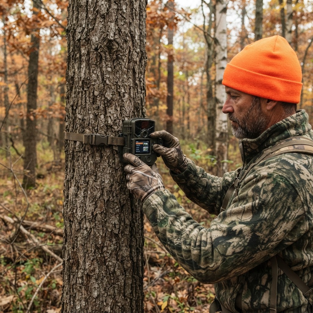
Unlocking Hidden Patterns: How to Use AI for Smarter Scouting
Stop drowning in thousands of trail camera images and start hunting with purpose by using intelligent automation to categorize your deer activity.
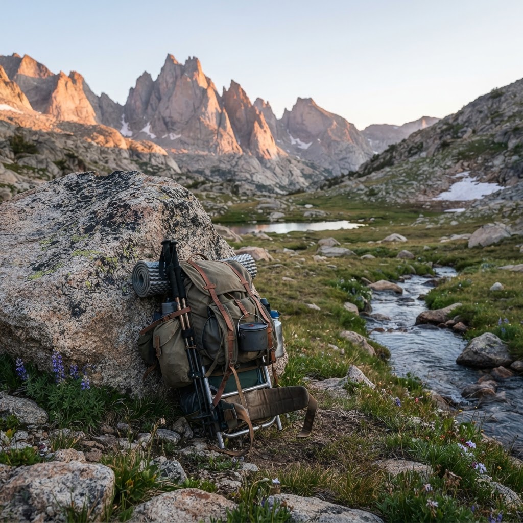
The Wilderness Logistical Blueprint: A Backcountry Packing Framework
Heading into the backcountry requires more than just grit; it demands a systematic approach to gear and logistics. Learn how to build your ultimate packing framework to stay safe, light, and successful in the wild.
Meet the Maker: Jeff Cote of SE Ohio Outdoors
Meet the craftsman behind SE Ohio Outdoors and discover how he is elevating the saddle hunting experience one handmade piece at a time.
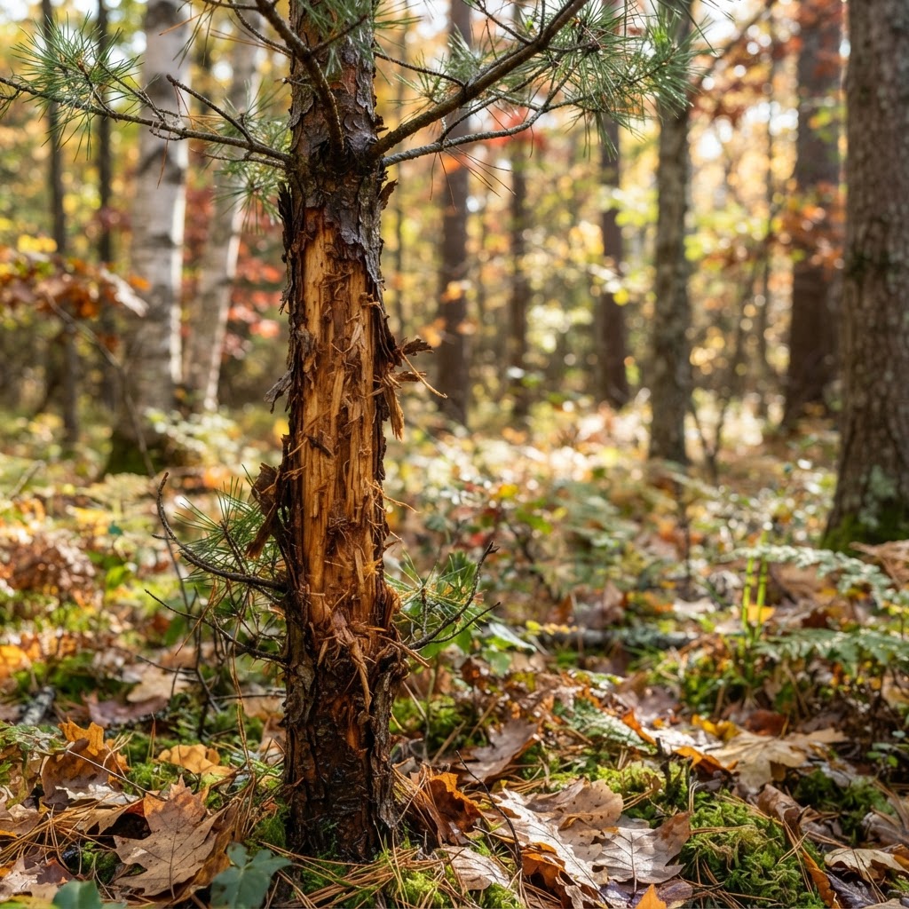
Unveiling the Forest Floor: A Hunter's Guide to Decoding Deer Sign
Success in the deer woods often depends on your ability to read the landscape. Learn how to interpret rubs, scrapes, and bedding areas to predict buck movement and put yourself in the right position this season.