Visualizing Your Success: A Practical Approach to Digital Waypoint Management
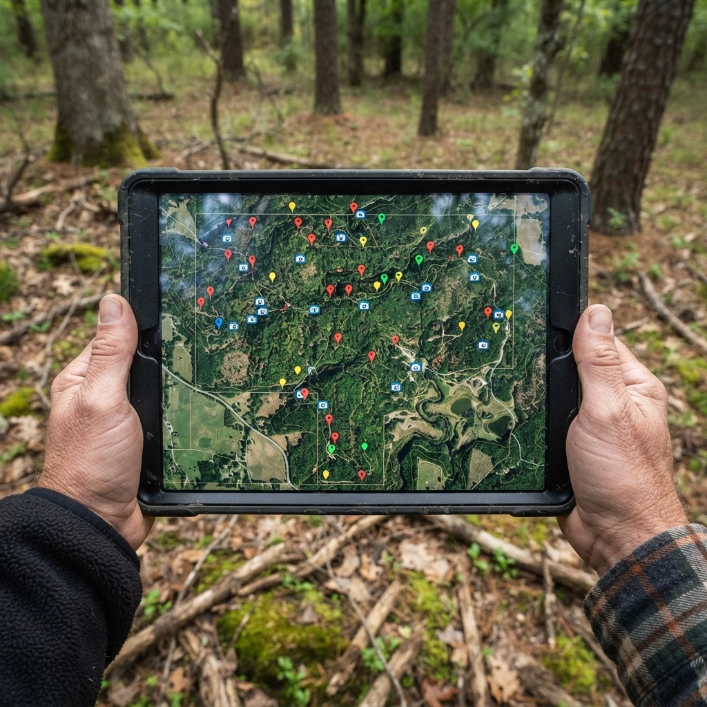
Elevating Your Scouting Strategy Through Digital Precision
Every seasoned hunter knows that the difference between a filled tag and a long, cold walk back to the truck often comes down to preparation. In the modern era, preparation is no longer limited to pencil-and-paper sketches or memory alone. Today, hunters have access to sophisticated, interactive tools that can turn a sprawling tract of unfamiliar timber into a calculated, strategic chessboard. By utilizing the waypoint system within the Buckeye Hunter Hub , you can move beyond simple reconnaissance and into the realm of true land management.
Free hunting map, zones & 50-state resources
Save your spots, share zones with your group, and get deer & waterfowl movement forecasts — free.
Why Waypoints Matter for Patterning Game
Digital waypoints are more than just digital "pins" on a screen. They represent the data points of your season—the story of how wildlife moves across the landscape. When you mark a stand location, a blind position, or the exact GPS coordinates of a trail camera, you aren't just saving a location; you are creating a historical log of deer and waterfowl behavior. Over time, these clustered points begin to reveal a pattern. You might notice that bucks consistently traverse a specific saddle during the pre-rut, or that geese favor a particular drainage ditch when the wind hits from the north.
By keeping this data centralized, you eliminate the guesswork associated with mid-season adjustments. If you know exactly where your cameras are in relation to your primary travel corridors, you can make informed decisions based on rather than gut instinct alone.
Step-by-Step: Pinning Your Setup
The Buckeye Hunter Hub interface is designed for simplicity in the field. Here is how to effectively build your digital map:
- Define Your Objective: Before you open the app, decide if you are scouting for long-term stand placement or short-term monitoring.
- Access the Mapping Layer: Open your BHH dashboard and navigate to the map module. Ensure you are using the satellite view to identify terrain features like pinch points, ridges, or water sources.
- Drop the Pin: Select the "Waypoint" tool from the toolbar. Place the pin exactly where your gear is located. If you are placing a trail camera, use the notes feature to document the orientation—facing north vs. south can significantly impact lighting and false triggers.
- Categorize Your Data: Use the provided labels for stands, blinds, and cameras. This allows you to toggle specific layers on and off, so you can see only your camera locations when reviewing your inventory, or only your stand locations when planning your entry and exit routes for a morning hunt.
Analyzing the Relationships Between Waypoints
The real power of this feature manifests when you step back and look at the map as a whole. Do your camera locations have a clear line of sight to your stands? Are your stand locations set up to account for prevailing winds according to the ?
E-Tag States

Harvest Tags
E-check means you supply the tag. Printed with the exact fields your state requires.
3-pack $22.95
When you mark a trail camera, consider it a data-gathering outpost. By mapping these, you can visualize the "dead zones" on your property—areas where you have no information—and adjust your scouting efforts to cover those gaps. If you consistently see photos of deer on one end of your property but never catch them near your primary stand, the map will show you exactly where the disconnect is happening. You might be missing a travel corridor that connects two distinct bedding areas.
Maintaining Your Digital Ledger
Data is only as good as its accuracy. Make it a habit to update your waypoints after every trip to the field. If you moved a blind because of changing foliage or shifted a camera to follow the migration, update the pin immediately. Consistent maintenance prevents the "phantom gear" problem, where you spend half your morning looking for a camera that you moved three weeks prior.
Raise a safe, confident young hunter.
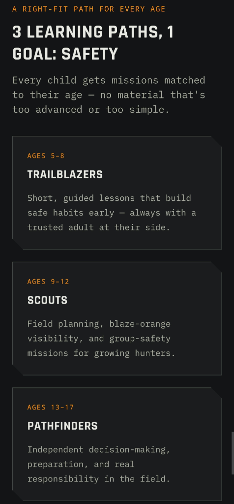
Guide your kids ages 5–17 through interactive hunting safety missions, real decision drills, and earned trophies — all from one free parent account.
Bonus: every $10 you spend in the BHH shop earns a free seat (up to 5). Use them or share them.



Scouting Smarter, Not Harder
Efficient scouting is about minimizing your footprint. Every time you walk through the woods, you risk bumping game and alerting mature bucks to your presence. Digital mapping allows you to do the heavy lifting from your home or office. By utilizing , you can become proficient in navigating these tools, effectively "scouting" your land without ever stepping foot in the sanctuary areas. This keeps the deer movement natural and keeps your gear exactly where it needs to be for the moment the wind and weather align.
Ultimately, the goal of using these digital tools is to spend more time in the stand and less time wandering aimlessly. By building a comprehensive, waypoint-driven map of your property, you turn the Buckeye Hunter Hub into your most valuable hunting partner—a reliable, always-on resource that helps you stay two steps ahead of the game.
Join 831 hunters and anglers on Buckeye Hunter Hub — free.
Latest from the Community


Everything you need to hunt smarter — free
Buckeye Hunter Hub is a free, nationwide platform. Create an account and unlock the full toolkit:
Free Interactive Hunting Map
Mark stands, cameras, and sign. Draw hunting zones with public land & county overlays across all 50 states.
Zones with Group Sharing
Share zones with your hunting group, split property into sections, assign stands, and check in — all in one place.
50 States of Hunting Resources
Season dates, license links, and DNR regulations for every state, kept current so you never miss an opener.
Deer Movement Forecast
Data-driven daily movement predictions using wind, moon, and pressure — know when to sit before you go.
Waterfowl Movement & Tools
Flight-potential forecasts, migration numbers, decoy spread planner, and a full species field guide.
From the Maker Bench

SE Ohio Outdoors
Euro Mount Hook
Hand-built in the USA · $8.00
Shop the MakerFriend of BHH
Thinking about selling a rifle or an old family shotgun? Check up-to-date market pricing by make and model before you sell.
webuyguns.comShop This

StopBox Pro Ward | Wall-Mounted
$179.00$199.99

StopBox Pro Compact
$159.00$179.99

BHH Speckle Camo Hoodie
$53.36

BHH Blackwood Camo Hoodie
$53.36
E-Tag States
Harvest Tags
E-check means you supply the tag. Printed with the exact fields your state requires.
3-pack $22.95
More Articles

Beyond the Screen: The Revival of Retro Wildlife Art in Digital Spaces
There is a quiet movement bringing the nostalgia of classic screen-print wildlife art to our modern devices. Discover how Buckeye Hunter Hub is blending heritage hunting aesthetics with the thrill of digital collecting.
Best Barometric Pressure for Deer Hunting: What the Data Really Says
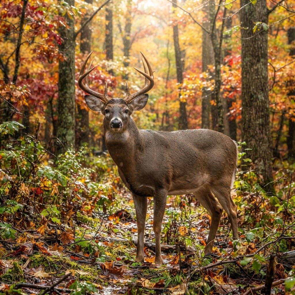
Is the barometer actually a magic switch for deer movement? We dive into the telemetry data to separate weather-driven myths from biological reality.
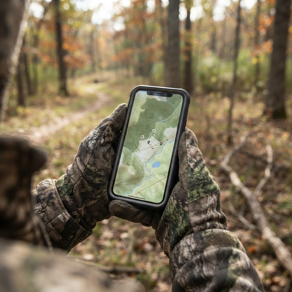
Mapping Success: A Guide to Optimizing Your Hunting Setup with BHH
Stop relying on memory to find your stands and cameras. Learn how to use the Buckeye Hunter Hub mapping tools to build a precise, digital blueprint of your hunting property.
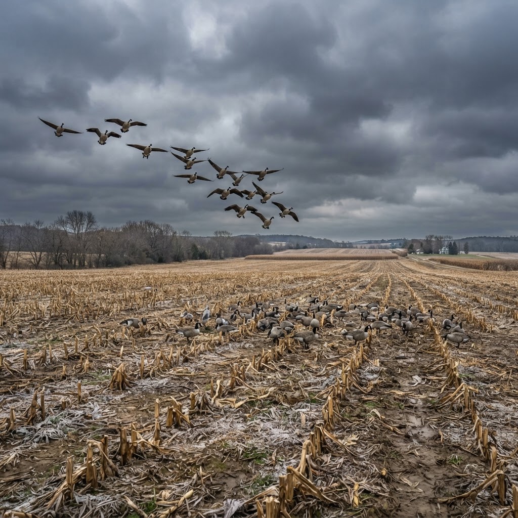
Mastering Cold-Weather Canada Geese: Strategic Field Tactics
When the mercury drops and the migration intensifies, successful field hunting depends on reading the wind, optimizing your spread, and mastering concealment. Discover how to capitalize on peak movement days for consistent success.