
Smart Hunting: How to Mark Waypoints Using the Buckeye Hunter Hub Map
Introduction
As hunters, we understand the importance of strategic planning when it comes to maximizing our success in the field. Whether it's identifying optimal locations for stands, blinds, or trail cameras, understanding how to mark waypoints can enhance your scouting efforts significantly. Buckeye Hunter Hub offers a fantastic feature with its , which not only supports navigation but helps you scout smarter and more effectively. In this article, we'll guide you step-by-step through the process of marking waypoints and explain how to leverage these features to find more game.
Why Marking Waypoints is Important
Marking waypoints allows hunters to pin specific locations that are crucial for their hunting strategy. This could include:
- Locations of deer trails
- Positions for tree stands or ground blinds
- Areas with high game activity
- Positions of trail cameras
Free hunting map, zones & 50-state resources
Save your spots, share zones with your group, and get deer & waterfowl movement forecasts — free.
By using waypoints, you can easily refer back to these locations during the hunting season and constantly update your strategy based on real-time scouting observations. It can also help streamline your scouting trips before the hunting season kicks off, allowing you to be well-prepared.
Creating an Account
To get started, you'll first need to access the Buckeye Hunter Hub's interactive hunting map. If you don’t already have an account:
- Visit .
- Click on "Sign Up" in the top right corner and fill in your details.
- Once your account is created, log in and head to the .
Step-by-Step Guide: Marking Waypoints
Now that you are logged in, follow these steps to mark your waypoints:
1. Navigate to the Map
Once you're on the interactive hunting map, familiarize yourself with the map features. You will notice different layers of terrain, critical hunting zones, and other hunters’ observations.
2. Zoom In on Your Desired Area
Use the zoom function to focus in on the area you plan to hunt. This step is crucial for pinpointing exact locations of trails, benches, or other promising spots.
3. Use the Waypoint Tool
- On the map interface, locate the waypoint tool, typically represented as a pin icon.
- Click on the pin icon to drop a waypoint in your desired location.
- A pop-up will prompt you to name the waypoint. Create a label that is descriptive (e.g., "Deer Trail 1" or "Camera Position") so that you can easily identify it later.
4. Add Notes and Photos (Optional)
After marking the waypoint, you can enhance its usefulness:
- Use the notes section to record observations — such as time of day the area was active, or weather conditions during your scouting trip.
- If you have photos of the area, you can upload them as well, providing visual aids for your memory.
E-Tag States

Harvest Tags
E-check means you supply the tag. Printed with the exact fields your state requires.
3-pack $22.95
5. Save the Waypoint
Once you’ve added all desired information, make sure to save the waypoint. This will allow you to revisit these locations anytime you access the map.
6. Planning Your Routes
With waypoints marked, take time to plan your hunting routes. Think through how you’ll approach each stand or blind without spooking nearby game. You can utilize the map for route planning to make the most of your scouting days before the hunting season starts.
How Marking Waypoints Enhances Your Hunting Strategy
- Easier Scouting: With precise waypoints identified, you can save time during scouting trips and focus on the most promising areas.
- Adapt and Adjust: As conditions change, you can return to the map to update or add new waypoints, helping you adapt your hunting tactics accordingly.
- Community Insights: Engage with hunting community groups within Buckeye Hunter Hub to share your waypoints and pick up tips from experienced hunters who may have explored the same areas.
Raise a safe, confident young hunter.
Guide your kids ages 5–17 through interactive hunting safety missions, real decision drills, and earned trophies — all from one free parent account.
Bonus: every $10 you spend in the BHH shop earns a free seat (up to 5). Use them or share them.




Complement Your Strategy with ScoutNest AI
For optimal results, consider integrating additional resources into your hunting plan. ScoutNest AI provides valuable weather intel, helping hunters like you make informed decisions based on environmental conditions. By pairing the interactive map with AI tools, you not only elevate your scouting efforts but enhance your chances of finding more game.
Conclusion
Marking waypoints using the Buckeye Hunter Hub interactive hunting map is a game changer for smart scouting and strategic hunting. By following the steps outlined above, you're not just marking locations; you're crafting a more effective hunting strategy that leverages technology for success.
Explore the robust features of this platform and take the first step towards a more organized and efficient hunting experience. Don’t forget to also check out useful tools on the map to further enhance your hunting preparations.
For more expert tips and updates, connect with fellow hunters and learn from their experiences. Get ready to embark on a successful hunting season!
Additional Resources:
Explore More on Buckeye Hunter Hub
Join 508 hunters and anglers on Buckeye Hunter Hub — free.
Latest from the Community


New drop
Fresh Buckeye Hunter Hub tees & hoodies


Everything you need to hunt smarter — free
Buckeye Hunter Hub is a free, nationwide platform. Create an account and unlock the full toolkit:
Free Interactive Hunting Map
Mark stands, cameras, and sign. Draw hunting zones with public land & county overlays across all 50 states.
Zones with Group Sharing
Share zones with your hunting group, split property into sections, assign stands, and check in — all in one place.
50 States of Hunting Resources
Season dates, license links, and DNR regulations for every state, kept current so you never miss an opener.
Deer Movement Forecast
Data-driven daily movement predictions using wind, moon, and pressure — know when to sit before you go.
Waterfowl Movement & Tools
Flight-potential forecasts, migration numbers, decoy spread planner, and a full species field guide.
From the Maker Bench

SE Ohio Outdoors
Euro Mount Hook
Hand-built in the USA · $8.00
Shop the MakerNew drop
Fresh Buckeye Hunter Hub tees & hoodies
Shop This

StopBox Pro Ward | Wall-Mounted
$179.00$199.99

StopBox Pro Compact
$159.00$179.99

BHH Grit Whitetail Tee
$20.55

Buckeye Hunter Hub Hoodie — Woodie
$32.87
E-Tag States
Harvest Tags
E-check means you supply the tag. Printed with the exact fields your state requires.
3-pack $22.95
More Articles
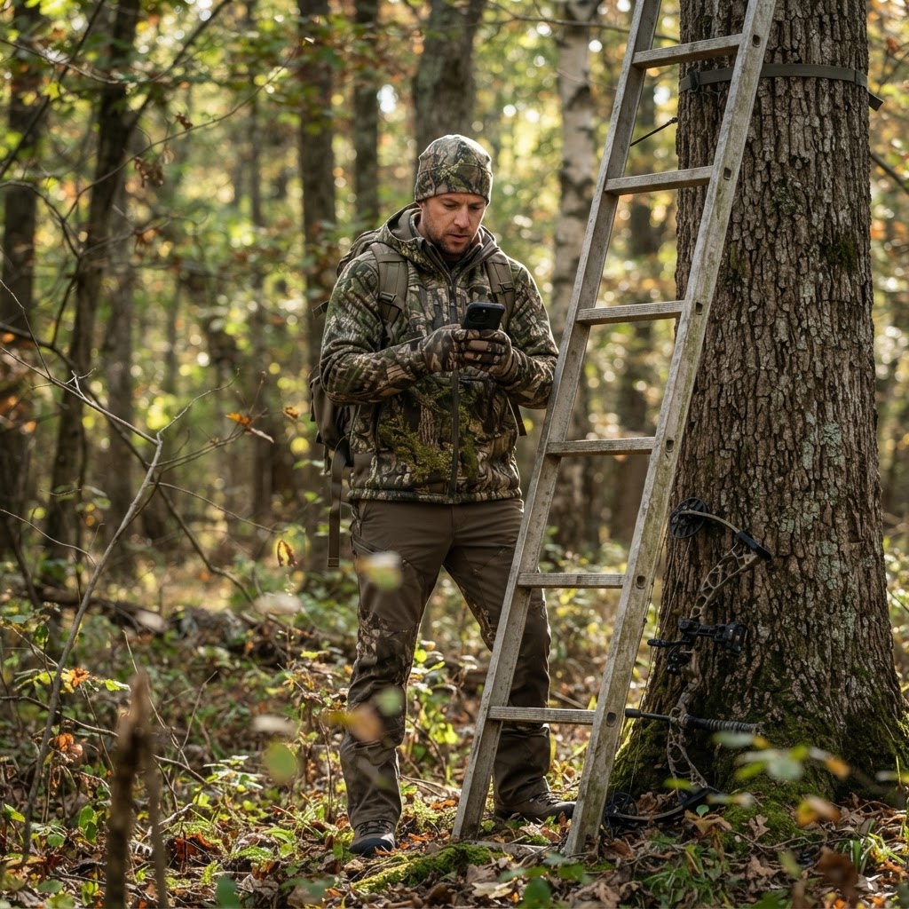
Digital Intelligence: Organizing Your Season with Waypoint Precision
Transform your chaotic scouting notes into a precise, visual game plan using Buckeye Hunter Hub’s interactive mapping tools. Learn how to pin your stands, blinds, and cameras for a more efficient, successful season.
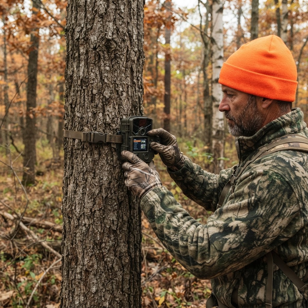
Unlocking Hidden Patterns: How to Use AI for Smarter Scouting
Stop drowning in thousands of trail camera images and start hunting with purpose by using intelligent automation to categorize your deer activity.
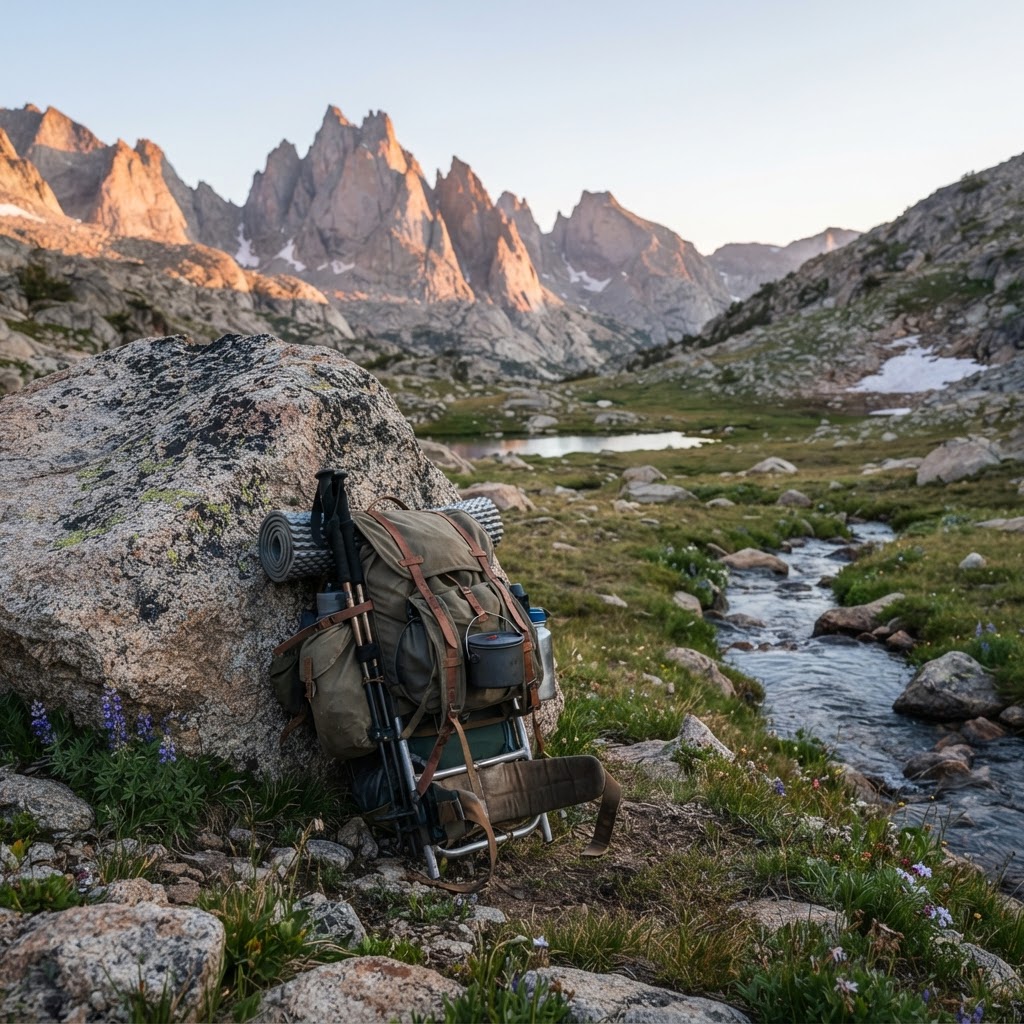
The Wilderness Logistical Blueprint: A Backcountry Packing Framework
Heading into the backcountry requires more than just grit; it demands a systematic approach to gear and logistics. Learn how to build your ultimate packing framework to stay safe, light, and successful in the wild.
Meet the Maker: Jeff Cote of SE Ohio Outdoors
Meet the craftsman behind SE Ohio Outdoors and discover how he is elevating the saddle hunting experience one handmade piece at a time.