
Precision Scouting: Mapping Your Setup for a More Efficient Season
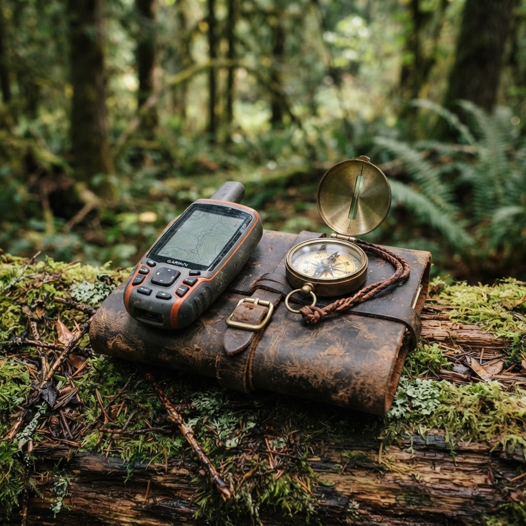
Elevate Your Field Craft with Strategic Mapping
Every successful season is built on a foundation of preparation. Whether you are chasing mature whitetails on expansive private timber or navigating the complexities of regional public land, the difference between a filled tag and an empty freezer often comes down to knowing exactly where your advantages lie. For years, hunters relied on mental notes and hand-drawn topo maps that faded with sweat and rain. Today, the modern outdoorsman leverages digital tools to create a persistent, accurate picture of the landscape.
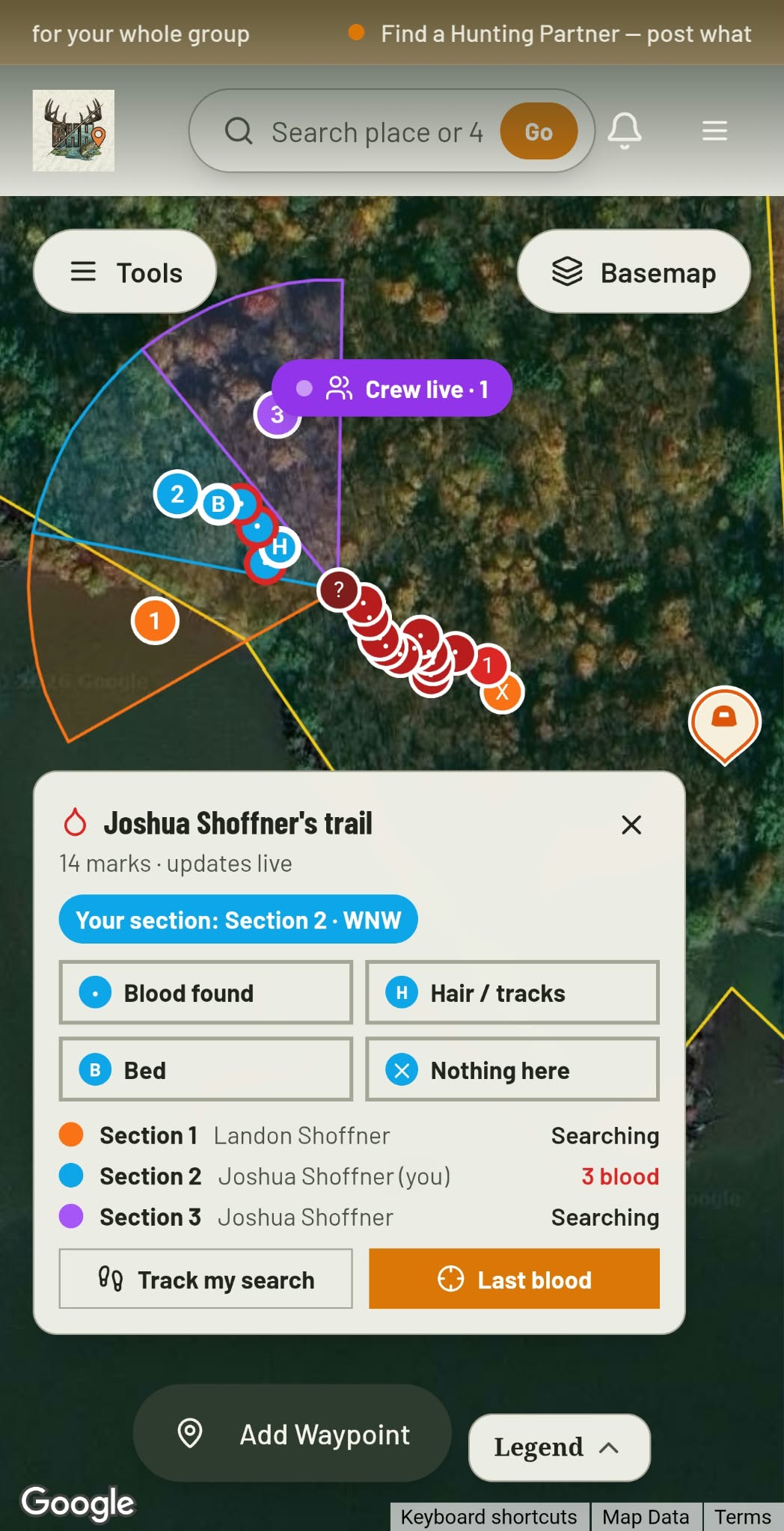
Blood Trail + Search Grid · Free
Hit one? Call in the crew.
Give every buddy a search section and see each drop they find, live.
See how it worksAt Buckeye Hunter Hub, we believe that technology should remove the guesswork from your hunt. Using our , you can move beyond simple navigation and begin treating your hunting property like a living system. By effectively marking your stands, blinds, and trail camera locations, you transform a chaotic patch of timber into a curated tactical environment.
Why Precision Mapping Matters
When you place a stand or hang a camera without recording it, you are losing valuable data. You might remember where that stand is today, but come November, when the canopy has thinned and the leaves have shifted, familiar landmarks often look drastically different. Precision mapping allows you to:
- Optimize Entry and Exit Routes: By seeing exactly where your stand is relative to the wind and bedding areas, you can plan paths that keep your scent signature to an absolute minimum.
- Visualize Hunting Pressure: If you mark all your stand locations, you can quickly identify areas of your property that are receiving too much traffic, allowing you to rotate locations and keep your hunting spots fresh.
- Track Deer Patterns Over Time: When you pair your camera location waypoints with our , you create a loop of data that tells you not just where the deer are, but exactly when they are likely to be there.
Getting Started: How to Mark Your Waypoints
Navigating our mapping tool is designed to be intuitive, even for those who prefer to keep their digital footprint light. Follow these steps to begin building your personal tactical database.
1. Pinning Your Assets
Washington · E-Tag State

Washington Harvest Tags
E-check means you supply the tag. Printed with the exact fields Washington requires.
3-pack $19.95
Once you have loaded your specific hunting area in the , look for the pin tool in the sidebar. Select the category that matches your objective—whether it is a 'Ground Blind,' 'Treestand,' or 'Trail Camera.' Click directly onto the satellite imagery where your equipment is stationed.
2. Adding Descriptive Context
Don't just leave a generic dot on the screen. The power of the Buckeye Hunter Hub map lies in the details. When you drop a pin, take an extra thirty seconds to add a note. Include details like the height of the stand, the specific tree species, or the target wind direction for that set. If you are marking a camera, note the battery life or the memory card size so you know exactly what gear you need before you hike in.
Raise a safe, confident young hunter.
Guide your kids ages 5–17 through interactive hunting safety missions, real decision drills, and earned trophies — all from one free parent account.




3. Reviewing Historical Data
As the season progresses, your map will become a historical record. Before your next outing, spend a few minutes checking alongside your waypoints. If you see a cluster of trail camera pins in a high-traffic draw, compare that against your to identify the perfect window to hunt that specific stand.
Scouting Smarter, Not Harder
Many hunters mistakenly believe that scouting ends once the season begins. In reality, the best hunters are constantly adjusting based on new information. By pinning every fresh scrape, rub line, or sighting you encounter while on your way to a stand, you begin to see the 'big picture' of deer behavior on your property.
This isn't about staring at a screen while you're in the woods; it is about doing the heavy lifting at home so that when you are in the field, your focus remains entirely on the hunt. When you have clearly marked your infrastructure, you can move through your property with stealth, confidence, and purpose.
If you find yourself stuck, remember that our library of is always available to help you master the finer points of our interface. Whether you are a solo hunter looking to sharpen your edge or a group looking to coordinate your efforts across a large lease, the ability to communicate and visualize your strategy is the ultimate force multiplier.
Final Thoughts on Digital Preparation
Modern hunting demands adaptability. By utilizing the Buckeye Hunter Hub interactive tools, you are giving yourself the ability to react to changing conditions with precision. From managing your gear locations to analyzing your for insights on movement trends, every bit of data you record is an investment in your future success. Start marking your spots today, and spend less time wandering and more time watching.
Free hunting map, zones & 50-state resources
Save your spots, share zones with your group, and get deer & waterfowl movement forecasts — free.
Join 264 hunters and anglers on Buckeye Hunter Hub — free.
Latest from the Community



New drop
Fresh Buckeye Hunter Hub tees & hoodies


Everything you need to hunt smarter — free
Buckeye Hunter Hub is a free, nationwide platform. Create an account and unlock the full toolkit:
Free Interactive Hunting Map
Mark stands, cameras, and sign. Draw hunting zones with public land & county overlays across all 50 states.
Zones with Group Sharing
Share zones with your hunting group, split property into sections, assign stands, and check in — all in one place.
50 States of Hunting Resources
Season dates, license links, and DNR regulations for every state, kept current so you never miss an opener.
Deer Movement Forecast
Data-driven daily movement predictions using wind, moon, and pressure — know when to sit before you go.
Waterfowl Movement & Tools
Flight-potential forecasts, migration numbers, decoy spread planner, and a full species field guide.
From the Maker Bench

Taggart Outdoors
Padded Rifle Sling
Hand-built in the USA · $134.99
Shop the MakerNew drop
Fresh Buckeye Hunter Hub tees & hoodies
Shop This

StopBox Pro Ward | Wall-Mounted
$179.00$199.99

StopBox Pro Compact
$159.00$179.99

Buckeye Hunter Hub Tee — No Tag Left Behind
$20.55

Buckeye Hunter Hub Hoodie — No Tag Left Behind
$32.87
Washington · E-Tag State
Washington Harvest Tags
E-check means you supply the tag. Printed with the exact fields Washington requires.
3-pack $19.95
More Articles

Data-Driven Scouting: Leveraging AI for Intelligent Deer Analysis
Tired of sorting through thousands of empty trail camera frames? Discover how to use automated AI analysis to pinpoint deer movement, categorize bucks, and reclaim your scouting time.
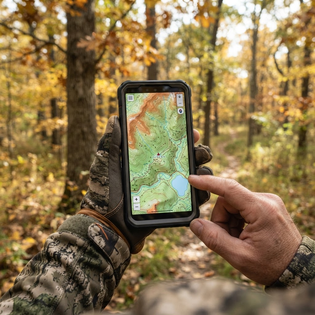
Digital Precision: Mastering Waypoint Management for Better Scouting
Take the guesswork out of your next hunt by learning to organize your stands, blinds, and trail cameras using digital mapping tools.
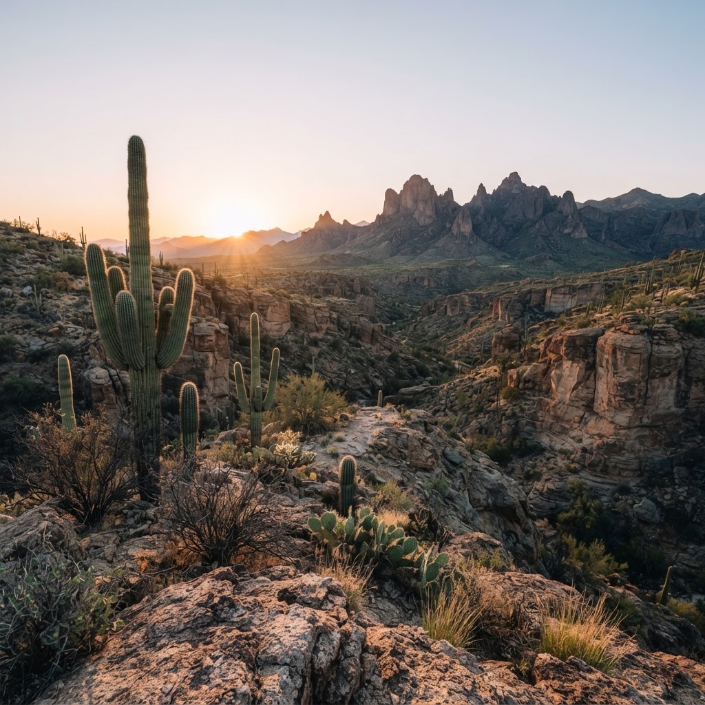
Desert Pursuits: A Comprehensive Guide to Arizona Big Game Hunting
From the high-country pines to the cactus-studded basins, Arizona offers some of the most challenging and rewarding hunting experiences in the American Southwest.
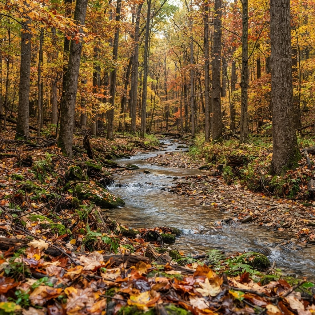
Hoosier Heartland Pursuit: A Tactical Guide to Indiana Public Land Hunting
Indiana is a hidden gem for the public land hunter. Discover how to navigate state-managed properties and national forests to find your next trophy while avoiding the crowd.