
Mastering Your Woods: How to Map Stands, Blinds, and Trail Cams with Buckeye Hunter Hub
Scouting Smarter, Not Harder: The Digital Advantage
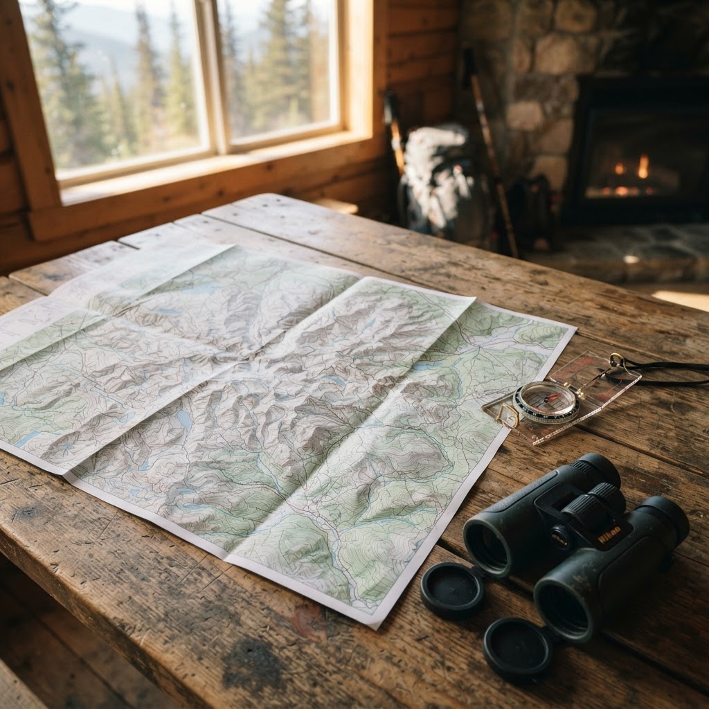
Every successful season begins long before the first shot is fired. It starts with boots on the ground, but in the modern era, it relies heavily on the data you collect during those scouting trips. If you are wandering into the timber without a clear strategy for your stand locations, blind placements, and trail camera arrays, you are effectively leaving your harvest up to chance. At Buckeye Hunter Hub, we believe in maximizing your time in the field by providing the tools you need to organize your strategy effectively. Utilizing our allows you to turn your property knowledge into a actionable game plan.
Free hunting map, zones & 50-state resources
Save your spots, share zones with your group, and get deer & waterfowl movement forecasts — free.
Why Digital Waypoint Marking Matters
Gone are the days of relying solely on mental notes or tattered paper maps shoved into a hunting jacket. By digitizing your gear locations, you create a historical record of what works and what doesn't. You can analyze patterns over multiple seasons, track travel corridors, and refine your approach based on wind direction and terrain features. When you combine this spatial data with insights from our free Deer Movement Forecast, you begin to see the bigger picture of how mature bucks interact with your land throughout the rut.
Step-by-Step: Marking Your Waypoints
Getting started with our mapping suite is intuitive. Follow these steps to begin building your digital footprint.
1. Accessing the Mapping Tool
Log into your account on the Buckeye Hunter Hub platform and navigate to our . Once the map loads, you will be able to toggle between satellite, topographic, and hybrid views. For scouting, we recommend the satellite view paired with the topographic overlay to identify pinch points, saddles, and potential bedding areas.
2. Creating Your First Waypoint
Look for the 'Add Pin' or 'Waypoint' icon in the main toolbar. Click the icon, then drop the pin exactly where your stand is located. A dialogue box will appear allowing you to label the item. Use descriptive names like 'North Ridge Oak Stand' or 'Creek Bottom Ground Blind' to stay organized. Color-code these pins—perhaps green for stands, blue for blinds, and orange for trail cameras—to keep your map uncluttered as your season progresses.
3. Adding Critical Metadata
E-Tag States

Harvest Tags
E-check means you supply the tag. Printed with the exact fields your state requires.
3-pack $22.95
Don’t just drop a pin and walk away. Use the notes section of the waypoint to record critical details. Include information like the ideal wind direction for the stand, the height of the platform, or the date you last serviced the trail camera. This level of detail is essential when you are trying to make a last-minute decision on where to hunt based on weather reports or .
Integrating Advanced Scouting Tools
While our mapping tools provide the framework for your season, other resources can fill in the gaps. For example, many hunters find that using an AI-integrated tool as a companion can help interpret broader environmental trends or help refine regional planning. You can also reference official resources, such as the Ohio Division of Wildlife, to ensure that your stand placements and baiting strategies remain compliant with current state regulations. Balancing digital technology with verified state hunting resources ensures you stay both effective and ethical throughout the year.
Raise a safe, confident young hunter.
Guide your kids ages 5–17 through interactive hunting safety missions, real decision drills, and earned trophies — all from one free parent account.
Bonus: every $10 you spend in the BHH shop earns a free seat (up to 5). Use them or share them.




Analyzing Your Data Over Time
Once your waypoints are marked, the real magic happens. By looking at where your trail cameras are clustered, you might discover a hidden travel corridor you hadn't previously noticed. If you notice a particular blind consistently yields sightings, you can cross-reference that with the dates and times logged in your trail cam photos. When you are ready to pivot, check out property & lease listings to see if you can expand your scouting efforts to new, adjacent parcels.
Staying Organized All Season Long
Efficiency is the hallmark of the seasoned hunter. By keeping your waypoints updated, you spend less time searching for cameras in the dark and more time sitting in the perfect spot. If you ever find yourself struggling to understand why deer are behaving a certain way, remember to revisit to better understand the biological triggers behind their habits.
As the season changes, your map should evolve too. Be sure to clear out old waypoints and update your data based on seasonal food sources. For those who enjoy sharing their success or discussing strategy with fellow outdoorsmen, be sure to connect with others via our community groups. Whether you are preparing for early season archery or the final days of the winter harvest, having a clear, marked, and organized map is the single best way to ensure you are always ready for the moment of truth. Happy hunting, and may your arrows fly straight.
Explore More on Buckeye Hunter Hub
<!-- links-cleaned -->Join 508 hunters and anglers on Buckeye Hunter Hub — free.
Latest from the Community


New drop
Fresh Buckeye Hunter Hub tees & hoodies


Everything you need to hunt smarter — free
Buckeye Hunter Hub is a free, nationwide platform. Create an account and unlock the full toolkit:
Free Interactive Hunting Map
Mark stands, cameras, and sign. Draw hunting zones with public land & county overlays across all 50 states.
Zones with Group Sharing
Share zones with your hunting group, split property into sections, assign stands, and check in — all in one place.
50 States of Hunting Resources
Season dates, license links, and DNR regulations for every state, kept current so you never miss an opener.
Deer Movement Forecast
Data-driven daily movement predictions using wind, moon, and pressure — know when to sit before you go.
Waterfowl Movement & Tools
Flight-potential forecasts, migration numbers, decoy spread planner, and a full species field guide.
From the Maker Bench

SE Ohio Outdoors
Euro Mount Hook
Hand-built in the USA · $8.00
Shop the MakerNew drop
Fresh Buckeye Hunter Hub tees & hoodies
Shop This

StopBox Pro Ward | Wall-Mounted
$179.00$199.99

StopBox Pro Compact
$159.00$179.99

BHH Grit Whitetail Tee
$20.55

Buckeye Hunter Hub Hoodie — Woodie
$32.87
E-Tag States
Harvest Tags
E-check means you supply the tag. Printed with the exact fields your state requires.
3-pack $22.95
More Articles
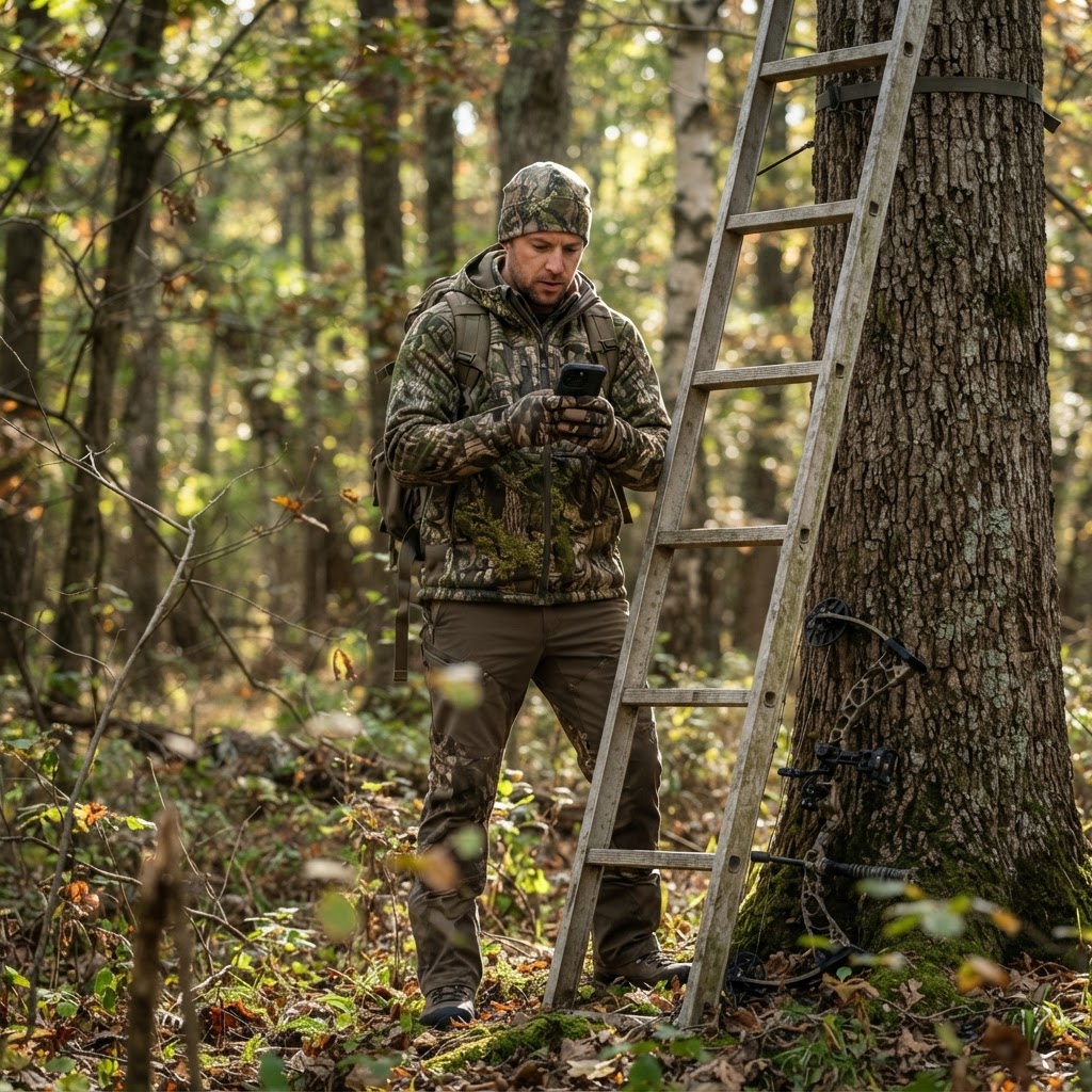
Digital Intelligence: Organizing Your Season with Waypoint Precision
Transform your chaotic scouting notes into a precise, visual game plan using Buckeye Hunter Hub’s interactive mapping tools. Learn how to pin your stands, blinds, and cameras for a more efficient, successful season.
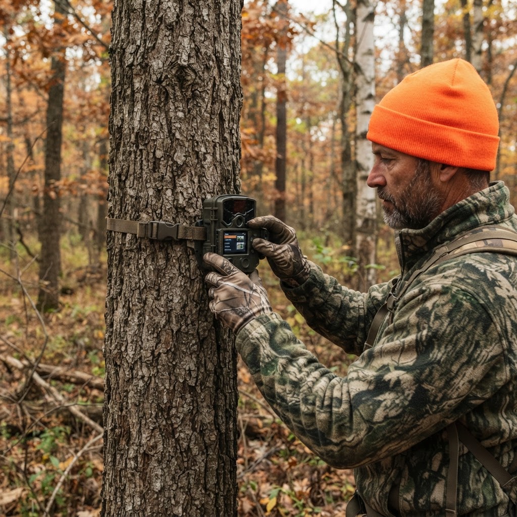
Unlocking Hidden Patterns: How to Use AI for Smarter Scouting
Stop drowning in thousands of trail camera images and start hunting with purpose by using intelligent automation to categorize your deer activity.
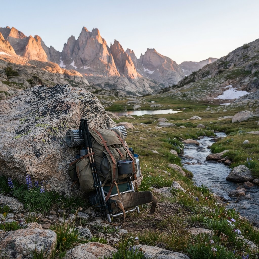
The Wilderness Logistical Blueprint: A Backcountry Packing Framework
Heading into the backcountry requires more than just grit; it demands a systematic approach to gear and logistics. Learn how to build your ultimate packing framework to stay safe, light, and successful in the wild.
Meet the Maker: Jeff Cote of SE Ohio Outdoors
Meet the craftsman behind SE Ohio Outdoors and discover how he is elevating the saddle hunting experience one handmade piece at a time.