
Mastering Your Scouting: How to Mark Waypoints in Buckeye Hunter Hub
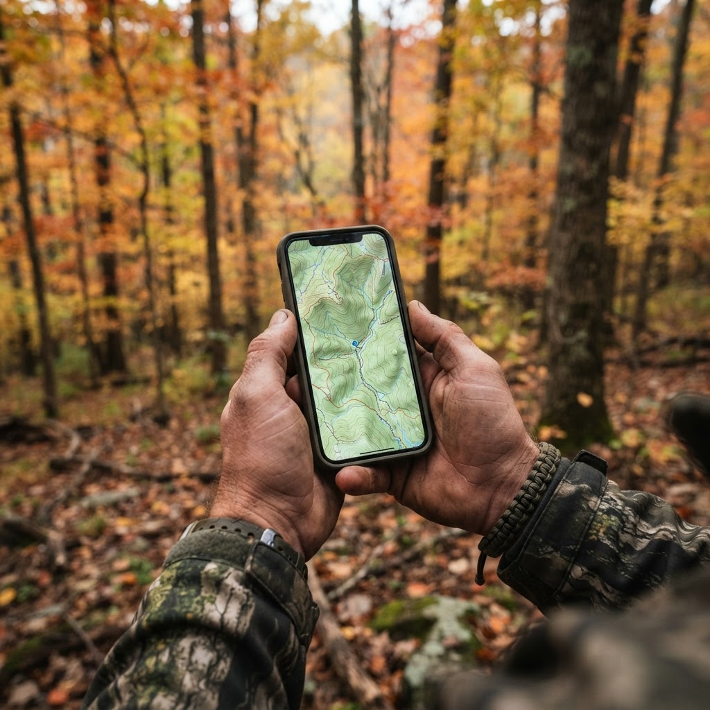
Elevating Your Scouting Game
Success in the deer woods is rarely a product of pure luck. It is the result of countless hours spent observing, analyzing, and strategically placing your gear where the action is most likely to happen. For the modern hunter, the difference between a long, quiet sit and a successful harvest often comes down to organizational efficiency. This is where the on Buckeye Hunter Hub become an indispensable part of your toolkit.
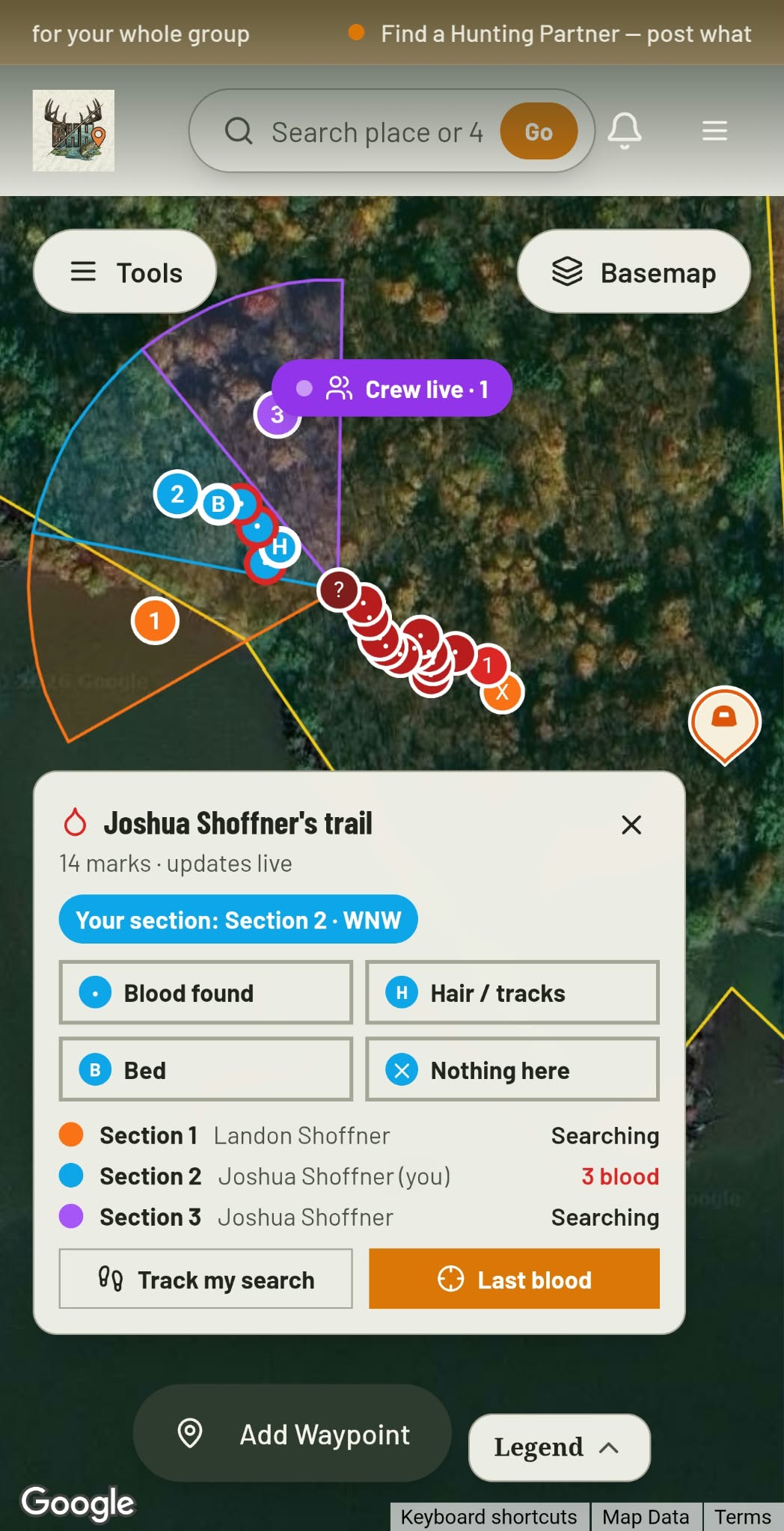
Blood Trail + Search Grid · Free
Hit one? Call in the crew.
Give every buddy a search section and see each drop they find, live.
See how it worksBy leveraging the waypoint system, you can turn a vast, overwhelming tract of forest into a curated grid of tactical opportunities. Instead of relying on memory, which can be fickle under the pressure of a pre-dawn setup, you can visualize your entire hunting property at a glance. Let’s dive into how you can use these digital tools to scout smarter, not harder.
Why Waypoint Accuracy Matters
Many hunters wander into the woods with a mental map, but a mental map doesn’t account for subtle changes in ridge lines or the transition zones that deer prefer during the rut. By marking your stand locations and trail cameras with precision, you create a spatial history of your property. Over time, these waypoints tell a story: where the movement is heaviest, which setups are wind-dependent, and where you need to adjust your strategy to maximize your odds.
Knowing exactly where your trail camera is located allows you to cross-reference your sightings with the . When you see a buck moving on camera at 2:00 AM, you can look at the predicted movement trends and decide if a morning or evening sit is more viable in that specific quadrant. This data-driven approach removes the guesswork from your decision-making process.
Step-by-Step: Marking Your Waypoints
Using the Buckeye Hunter Hub interface is designed to be intuitive, even for those who aren’t particularly tech-savvy. Follow these steps to begin building your digital scouting library:
1. Accessing Your Map
Log in to your account and navigate to the section. Ensure you are using the satellite view to get the best look at terrain features such as thickets, creek beds, and clearings. These are the topographical keys that hold the most potential for big game.
2. Dropping a Pin
Once you have identified a location of interest—perhaps a white oak tree near a bedding area or a funnel between two timber stands—simply click on the exact location on the map. A dialog box will appear, prompting you to 'Add Waypoint.' Select this, and a pin will be dropped at those specific GPS coordinates.
E-Tag States

Harvest Tags
E-check means you supply the tag. Printed with the exact fields your state requires.
3-pack $19.95
3. Labeling and Categorizing
Don't just leave your waypoints as generic dots. Use the labeling feature to categorize them by type. I recommend using a consistent naming convention, such as 'Stand - North Wind' or 'Camera - Creek Crossing.' You can even add custom notes to each waypoint. For example, add a note like 'Best in early October' or 'Access route needs to be clear of dry leaves.' This level of detail ensures that when you return to the property months later, you know exactly why you chose that spot.
4. Updating and Maintaining
Scouting is a dynamic process. As you check your trail cameras, update the status of your waypoints. If a stand is damaged or a camera is moved to a new travel corridor, update the position on the map immediately. Maintaining your digital records ensures that the information you rely on is as current as possible.
Scouting Smarter with Digital Data
Raise a safe, confident young hunter.
Guide your kids ages 5–17 through interactive hunting safety missions, real decision drills, and earned trophies — all from one free parent account.




Once you have your waypoints laid out, you will begin to see patterns emerge. You might notice that all of your high-activity cameras are clustered along a particular edge, or that your stand setups consistently underperform during certain wind directions. This visual feedback loop is the fastest way to improve as a hunter. If you find that a particular area isn't producing, you can re-evaluate your strategies and adjust your ground game accordingly.
Furthermore, by using these digital tools, you reduce the physical pressure you place on a property. Instead of walking the perimeter to check every single camera, you can manage your property from home, planning your approach route based on the wind and the specific terrain features you’ve mapped out. This 'low-impact' approach to scouting keeps the deer calm and increases the likelihood that they will continue using the travel corridors you have identified.
Final Thoughts on Property Management
Whether you are hunting a small private woodlot or a vast public tract, having a digital record of your efforts is the mark of a serious hunter. By using the Buckeye Hunter Hub waypoint system, you are not just marking locations—you are building a database of experience. If you ever need to share your findings or collaborate on , having your map data organized makes the process seamless.
For more insights into managing your hunting season, be sure to check out for regular updates on tactics, equipment, and wildlife management tips. Stay organized, keep your gear in check, and let the data guide you to your next successful harvest.
Free hunting map, zones & 50-state resources
Save your spots, share zones with your group, and get deer & waterfowl movement forecasts — free.
Join 257 hunters and anglers on Buckeye Hunter Hub — free.
Latest from the Community



New drop
Fresh Buckeye Hunter Hub tees & hoodies


Everything you need to hunt smarter — free
Buckeye Hunter Hub is a free, nationwide platform. Create an account and unlock the full toolkit:
Free Interactive Hunting Map
Mark stands, cameras, and sign. Draw hunting zones with public land & county overlays across all 50 states.
Zones with Group Sharing
Share zones with your hunting group, split property into sections, assign stands, and check in — all in one place.
50 States of Hunting Resources
Season dates, license links, and DNR regulations for every state, kept current so you never miss an opener.
Deer Movement Forecast
Data-driven daily movement predictions using wind, moon, and pressure — know when to sit before you go.
Waterfowl Movement & Tools
Flight-potential forecasts, migration numbers, decoy spread planner, and a full species field guide.
From the Maker Bench

Taggart Outdoors
Padded Rifle Sling
Hand-built in the USA · $134.99
Shop the MakerNew drop
Fresh Buckeye Hunter Hub tees & hoodies
Shop This

StopBox Pro Ward | Wall-Mounted
$179.00$199.99

StopBox Pro Compact
$159.00$179.99

Buckeye Hunter Hub Tee — No Tag Left Behind
$20.55

Buckeye Hunter Hub Hoodie — No Tag Left Behind
$32.87
E-Tag States
Harvest Tags
E-check means you supply the tag. Printed with the exact fields your state requires.
3-pack $19.95
More Articles

Data-Driven Scouting: Leveraging AI for Intelligent Deer Analysis
Tired of sorting through thousands of empty trail camera frames? Discover how to use automated AI analysis to pinpoint deer movement, categorize bucks, and reclaim your scouting time.
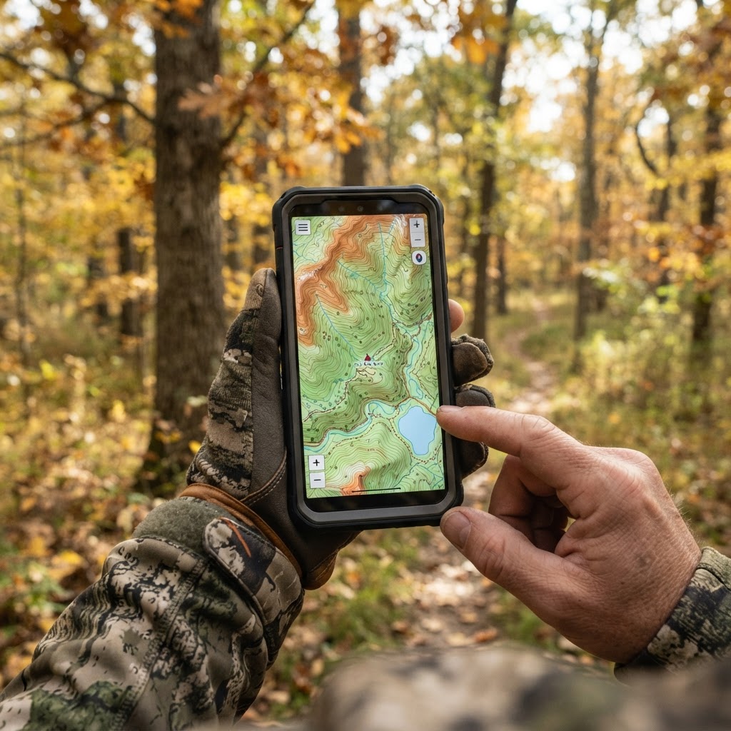
Digital Precision: Mastering Waypoint Management for Better Scouting
Take the guesswork out of your next hunt by learning to organize your stands, blinds, and trail cameras using digital mapping tools.
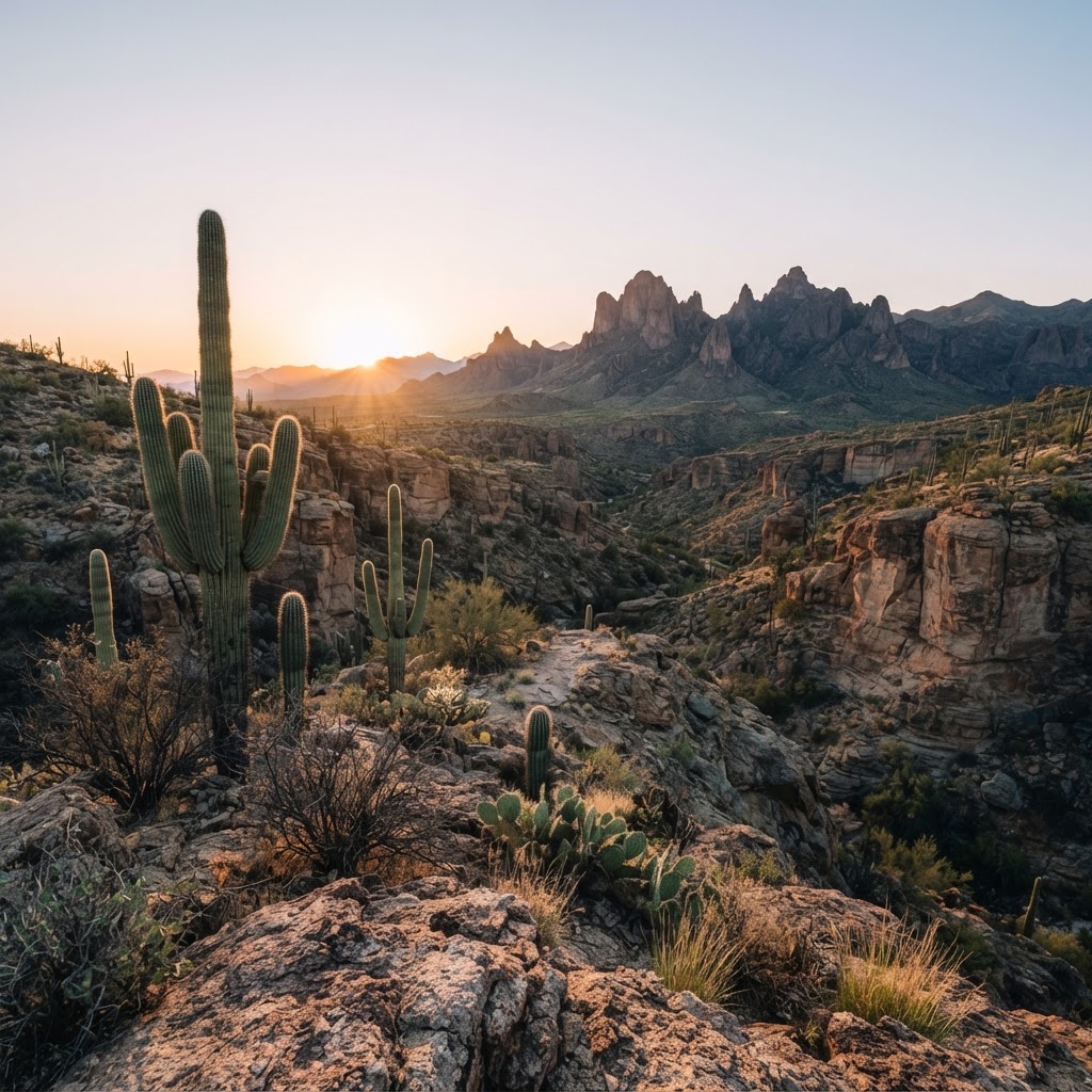
Desert Pursuits: A Comprehensive Guide to Arizona Big Game Hunting
From the high-country pines to the cactus-studded basins, Arizona offers some of the most challenging and rewarding hunting experiences in the American Southwest.
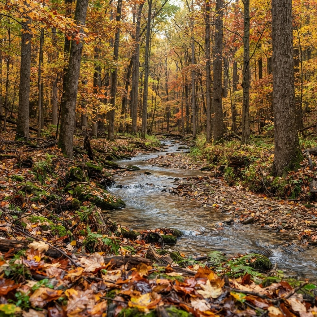
Hoosier Heartland Pursuit: A Tactical Guide to Indiana Public Land Hunting
Indiana is a hidden gem for the public land hunter. Discover how to navigate state-managed properties and national forests to find your next trophy while avoiding the crowd.