
Pinpoint Precision: Elevating Your Scouting Workflow with Digital Waypoints
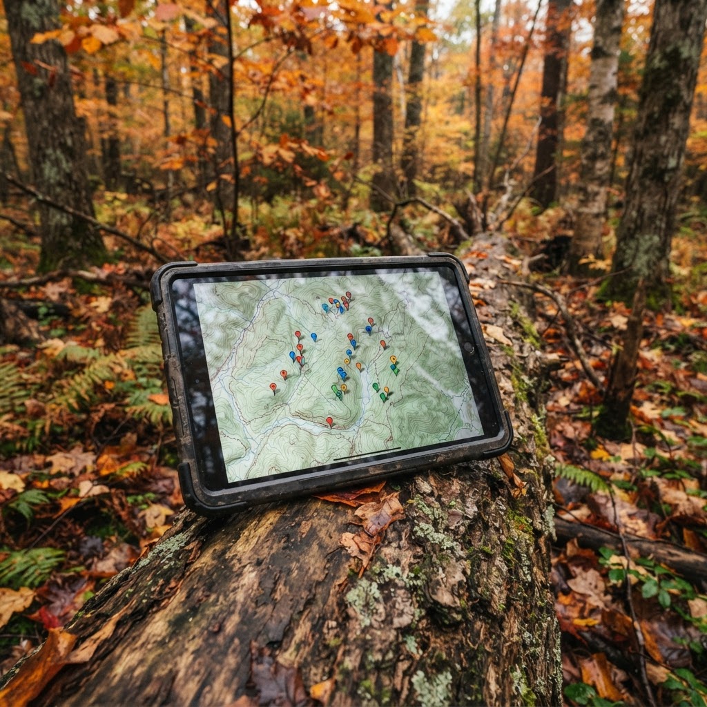
Scouting with Purpose: The Power of Digital Organization
Every seasoned hunter knows that the difference between filling a tag and going home empty-handed often comes down to preparation. In the modern era, physical scouting remains irreplaceable, but digital tools have evolved into the hunter’s ultimate force multiplier. By leveraging , you can transform a chaotic collection of mental notes and scattered paper sketches into a cohesive, actionable plan. Placing precise waypoints for your stands, blinds, and trail cameras is more than just a convenience—it is a strategic necessity for managing large properties or intricate public land systems.
Let AI sort your trail cam photos, free
Upload a photo and get the species, buck or doe, age guess, and the weather when it was taken.
When you use digital mapping to visualize your gear and sightings, you move from a reactive hunting style to a proactive one. Instead of showing up at the gate and hoping for the best, you can analyze your historical data to determine which wind direction favors your preferred stand or how your trail camera coverage overlaps with known bedding areas. This systematic approach is the foundation for consistently tagging mature deer or finding high-traffic waterfowl spots.
Getting Started: Navigating the Map Interface
The Buckeye Hunter Hub map is designed to be intuitive, allowing you to spend your energy on hunting rather than wrestling with software. Once you have logged into your account and accessed the map interface, you will see a variety of layers that can be toggled on or off to reveal topography, property lines, and habitat types.
To begin marking your equipment, ensure you have the 'Waypoints' tool selected. Whether you are using a desktop to plan your season or a mobile device while in the field, the process remains consistent. Zoom into your target area until you have a clear view of the terrain features—look for funnels, pinch points, or water sources that indicate high game activity. Clicking on the desired location will drop a new waypoint, prompting you to name it and assign a specific icon.
Customizing Your Waypoint Ecosystem
One of the most effective ways to manage your season is through category-based icon sets. Don’t just mark everything as a generic pin. Use the specific icons available in the toolset to distinguish between types of setups. For example, mark all of your ladder stands with a tree icon, your ground blinds with a square icon, and your trail camera locations with a camera icon.
BHH Partner
Thinking about selling a rifle or an old family shotgun? Check up-to-date market pricing by make and model before you sell.
webuyguns.comBy keeping these separate, you can quickly toggle visibility to identify gaps in your coverage. If you notice a large stretch of high-value habitat without a camera, it might be time to move one. If you see two stands too close together that might cause scent interference, you can adjust your strategy from the comfort of your home. This is the same logic used when studying to ensure that your setup actually aligns with how the animals are using the landscape.
Advanced Tips for Proactive Scouting
To take your scouting to the next level, treat your digital waypoints as a live database. Each time you visit a stand or check a camera, update the notes field on that waypoint. Record details such as the predominant wind direction you observed, the amount of fresh sign nearby, or even the date you last refreshed your batteries.
E-Tag States

Harvest Tags
E-check means you supply the tag. Printed with the exact fields your state requires.
3-pack $22.95

Youth Hunter Academy
Raise a safe, confident young hunter.
Safety missions for ages 5–17. Free parent account.
This historical data becomes incredibly valuable when cross-referenced with your . If you know that a specific ridge stand produces only during a cold front, you won't waste valuable time sitting there when the weather conditions don't support the move. Integrating this type of granular detail allows you to develop a mental rhythm for your hunting property, helping you adapt to changes throughout the season. You can find more helpful advice on how to integrate these digital habits into your routine by visiting our .
Scaling Your Strategy
Consistency is the hallmark of a successful hunter. By digitizing your gear locations, you create a permanent record that you can build upon year after year. As you gain more experience, you will begin to see patterns in how deer navigate your property that aren't apparent on the ground level.
Remember, your map is a living document. Don't be afraid to delete old waypoints that no longer serve a purpose or relocate them based on new intel. The goal is to minimize your impact on the woods by going straight to the most productive spots, rather than wandering around to find your gear. By combining the digital precision of our mapping suite with , you create a powerhouse of information that keeps you steps ahead of the herd. Stay organized, stay quiet, and let the data guide you to your best season yet.
Free every morning
Your Daily Briefing
One morning forecast for the spots you actually hunt and fish: deer movement, waterfowl flights, bite times, wind and shooting light.
See what's in itSet up your briefing
Join free, save a spot on the map, then pick what you hunt and fish and when you want your email.
Join 1,347 hunters and anglers on Buckeye Hunter Hub — free.
Latest from the Community


Everything you need to hunt smarter — free
Buckeye Hunter Hub is a free, nationwide platform. Create an account and unlock the full toolkit:
Free Interactive Hunting Map
Mark stands, cameras, and sign. Draw hunting zones with public land & county overlays across all 50 states.
Zones with Group Sharing
Share zones with your hunting group, split property into sections, assign stands, and check in — all in one place.
50 States of Hunting Resources
Season dates, license links, and DNR regulations for every state, kept current so you never miss an opener.
Deer Movement Forecast
Data-driven daily movement predictions using wind, moon, and pressure — know when to sit before you go.
Waterfowl Movement & Tools
Flight-potential forecasts, migration numbers, decoy spread planner, and a full species field guide.
From the Maker Bench

Taggart Outdoors
Custom Western Belt
Hand-built in the USA · $127.99
Shop the Maker
BHH Partner
Firearms, ammo and gear from a local Ohio shop in Grafton.
dnaarmory.comE-Tag States
Harvest Tags
E-check means you supply the tag. Printed with the exact fields your state requires.
3-pack $22.95
More Articles

The Hunter’s Hearth: Mastering Hearty Venison Chili
Transform your hard-earned harvest into a campfire classic with this foolproof, flavor-packed venison chili recipe designed specifically for lean wild game.
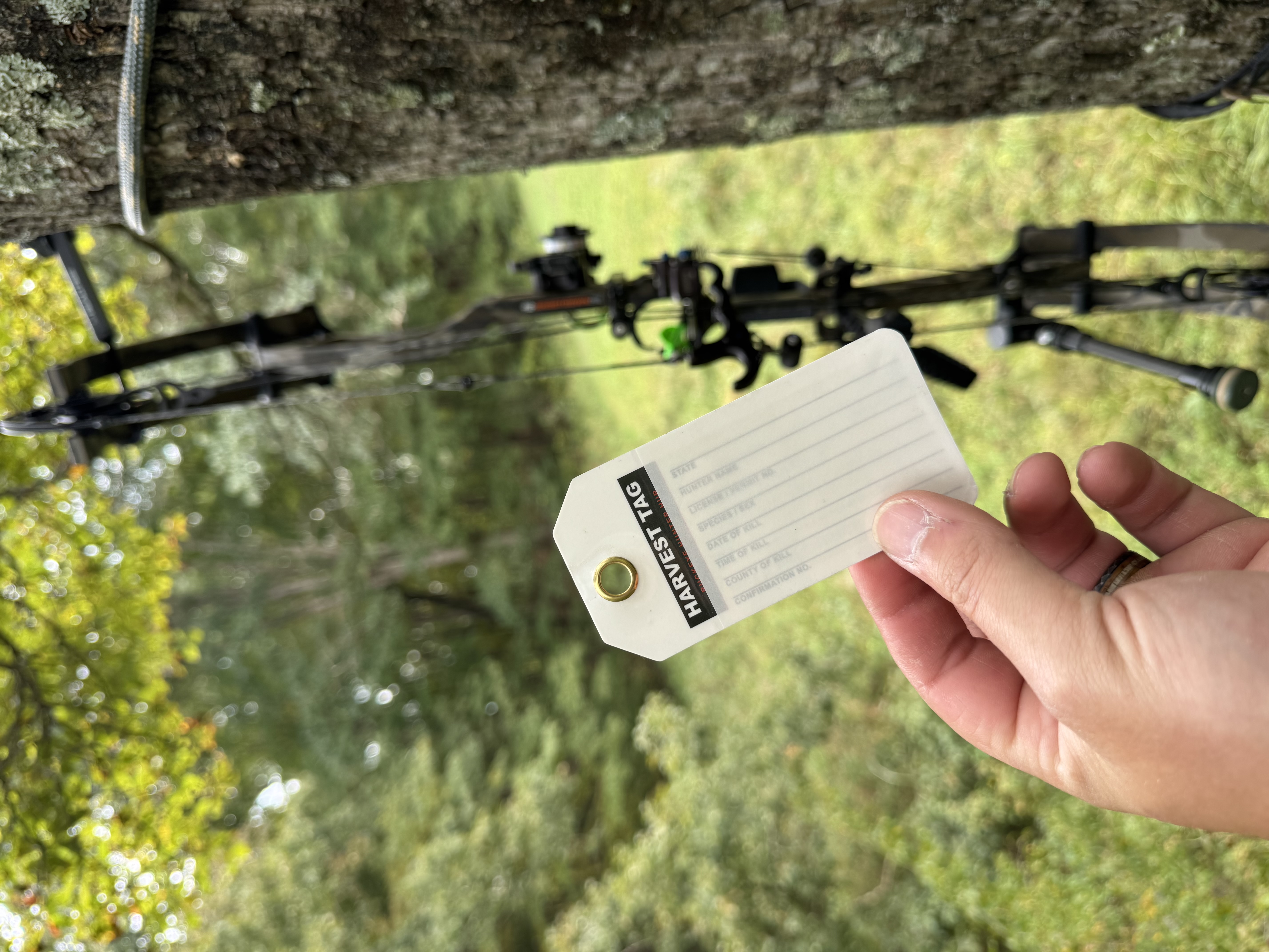
Review: Harvest Tags — 3-Pack for Serious Hunters
Looking for durable, reliable tagging? We put the Harvest Tags 3-Pack to the test to see if these weatherproof tags are worth your gear bag space.
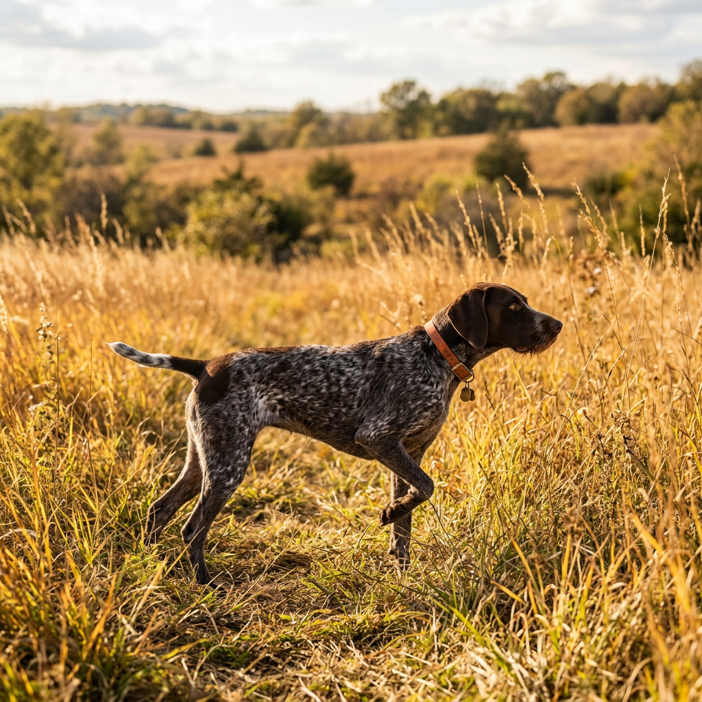
Chasing the Ghost of the Grasslands: Mastering Bobwhite Quail Hunting
The Northern Bobwhite is an icon of the American landscape, offering a challenging and traditional wingshooting experience. Learn how to navigate the brush and hone your instincts to find these elusive birds.
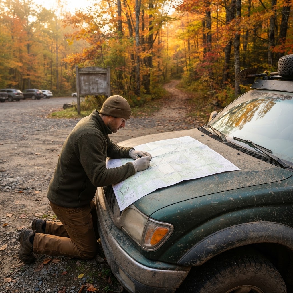
The Strategic Playbook: Building a Winning Public Land Hunting Framework
Hunting public land requires more than just luck; it demands a structured, step-by-step approach to scouting, logistics, and execution. Learn how to build your seasonal game plan from the ground up to consistently outperform the crowd.