
Public Land Paradise: A Hunter’s Guide to Missouri
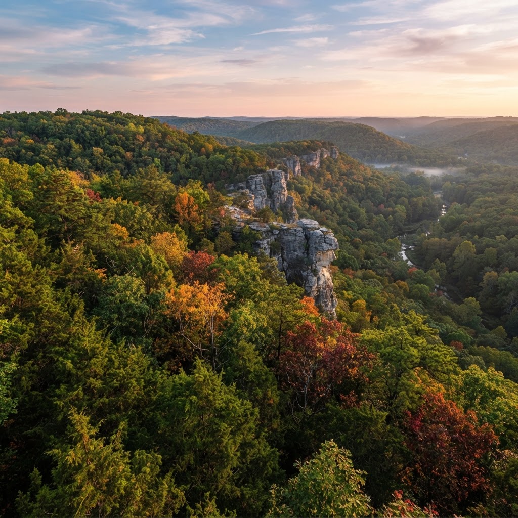
Introduction to Missouri Hunting
Missouri is often overlooked as a destination for the dedicated public-land hunter, but those in the know understand that the state is a hidden gem. With over one million acres of public land managed by the Missouri Department of Conservation (MDC) and the U.S. Forest Service, the Show-Me State provides incredible opportunities for those willing to put in the boots-on-the-ground work. Whether you are chasing monster whitetails in the northern farmland or pursuing elusive gobblers in the Ozark hills, Missouri offers a variety of terrain and game species that cater to every type of sportsman.
Navigating Missouri’s Public Lands
When planning your trip, the first step is understanding the different types of public ground available. The MDC manages hundreds of Conservation Areas (CAs) across the state. These areas range from small, specialized wetlands to massive, forested tracts.
The Mark Twain National Forest
Spanning over 1.5 million acres in southern Missouri, the Mark Twain National Forest is the crown jewel for the adventurous hunter. This expansive landscape is rugged, challenging, and incredibly rewarding. While the density of deer may be lower than in the private agricultural sectors of the north, the sheer size allows hunters to escape the crowds. For those tracking patterns, utilizing our can help you decide which pockets of the forest are most likely to hold active deer during the rut.
Conservation Areas (CAs)
Missouri’s Conservation Areas are the bread and butter of the state’s public hunting system. Many of these sites are managed specifically for wildlife habitat. Some larger CAs require a special drawing for deer or turkey permits, so it is vital to consult the official before finalizing your travel dates. Always cross-reference your plans with the official Missouri Department of Conservation website to ensure you have the most up-to-date regulations.
Scouting and Strategy
Success on public land is rarely an accident; it is the result of meticulous preparation. Before you ever pull into a trailhead, you should be deep into scouting.
E-Tag States

Harvest Tags
E-check means you supply the tag. Printed with the exact fields your state requires.
3-pack $19.95
Digital Scouting
Using modern technology is essential. By utilizing , you can identify subtle terrain features—like funnels, saddles, and creek crossings—that might be missed from the road. Look for areas that are difficult for the average hunter to access; a long hike away from the main parking lot often pays dividends in terms of deer quality and safety.
Understanding the Terrain
Raise a safe, confident young hunter.
Guide your kids ages 5–17 through interactive hunting safety missions, real decision drills, and earned trophies — all from one free parent account.




Missouri topography varies drastically. The northern regions consist of rolling agricultural fields and timber, while the southern regions are defined by steep limestone bluffs and dense hardwood forests. Researching the local flora is also wise. During a mast-heavy year, focus your efforts on ridge tops with white oak stands. Understanding will help you correlate these food sources with the peak times of activity in the woods.
Waterfowl Hunting Opportunities
Missouri is a vital stop along the Mississippi Flyway. Public waterfowl hunting is legendary in the state, particularly in the wetlands of the bootheel. Many CAs offer managed wetland units where hunters can experience some of the best shooting in the Midwest. Before heading out, review to ensure you are hitting the peak of the flight. If you are new to the area, utilizing a can help you maximize your success in open marsh conditions.
Ethical and Responsible Hunting
As public land hunters, we are guests on these properties. The sustainability of our sport depends on our ability to conduct ourselves ethically. Always pack out your trash, respect boundary lines, and be courteous to other hunters you may encounter in the field. Missouri’s public lands are a shared resource that belongs to all of us; by acting as stewards of the environment, we ensure that these lands remain open and productive for generations to come. For additional guidance, visit our page for links to local regulations and safety information.
Conclusion
Missouri offers a unique blend of challenging terrain, diverse species, and accessible public land that makes it a top-tier destination for any member of the Buckeye Hunter Hub community. Whether you are a solo backpacker or a group of friends planning an annual trek, the opportunities in the Show-Me State are limited only by the effort you are willing to invest. Study the maps, scout your targets, and prepare for a memorable adventure in the heart of the Midwest.
Free hunting map, zones & 50-state resources
Save your spots, share zones with your group, and get deer & waterfowl movement forecasts — free.
Join 236 hunters and anglers on Buckeye Hunter Hub — free.
Latest from the Community



New drop
Fresh Buckeye Hunter Hub tees & hoodies


Everything you need to hunt smarter — free
Buckeye Hunter Hub is a free, nationwide platform. Create an account and unlock the full toolkit:
Free Interactive Hunting Map
Mark stands, cameras, and sign. Draw hunting zones with public land & county overlays across all 50 states.
Zones with Group Sharing
Share zones with your hunting group, split property into sections, assign stands, and check in — all in one place.
50 States of Hunting Resources
Season dates, license links, and DNR regulations for every state, kept current so you never miss an opener.
Deer Movement Forecast
Data-driven daily movement predictions using wind, moon, and pressure — know when to sit before you go.
Waterfowl Movement & Tools
Flight-potential forecasts, migration numbers, decoy spread planner, and a full species field guide.
From the Maker Bench

Taggart Outdoors
Padded Rifle Sling
Hand-built in the USA · $134.99
Shop the MakerNew drop
Fresh Buckeye Hunter Hub tees & hoodies
Shop This

StopBox Pro Ward | Wall-Mounted
$179.00$199.99

StopBox Pro Compact
$159.00$179.99

Buckeye Hunter Hub Tee — No Tag Left Behind
$20.55

Buckeye Hunter Hub Hoodie — No Tag Left Behind
$32.87
E-Tag States
Harvest Tags
E-check means you supply the tag. Printed with the exact fields your state requires.
3-pack $19.95
More Articles

The Last Frontier: A Strategic Guide to Alaskan Big Game Hunting
Alaska offers the ultimate challenge for the American sportsman, combining vast wilderness with unmatched species diversity. From planning your logistics to understanding the unique terrain, here is how to navigate the complexities of hunting the Last Frontier.

Gear Up for the Field: Introducing the New Little Brown Duck Dog Hoodie
Meet your new favorite layer for the duck blind and beyond: the Buckeye Hunter Hub Little Brown Duck Dog hoodie is here to keep you warm and looking sharp.

Make a Statement: Introducing the Buckeye Hunter Hub Hoodie — Whoa.
Meet the ultimate addition to your outdoor wardrobe: the Buckeye Hunter Hub Hoodie — Whoa., designed for those who live for the pursuit and value a bit of personality in their gear.

Introducing the Little Brown Duck Dog Tee: Your New Favorite Hunting Apparel
Meet the latest addition to the Buckeye Hunter Hub gear lineup, designed for those who live for the marsh and the field.