Precision Positioning: A Hunter's Guide to Digital Stand and Camera Management
Mastering the Landscape: Why Digital Scouting Matters
For many hunters, the days of keeping mental notes or messy paper maps of where they placed a trail camera or hung a treestand are long gone. The modern woodsman relies on precision, and for good reason. When you are managing multiple properties or trying to pattern a specific buck across a large tract of land, your memory can be your biggest enemy. If you cannot visualize exactly where your gear is in relation to bedding areas, feeding zones, and current wind directions, you are leaving too much to chance.
Free hunting map, zones & 50-state resources
Save your spots, share zones with your group, and get deer & waterfowl movement forecasts — free.
Buckeye Hunter Hub provides an that serves as your digital command center. By utilizing these tools, you transform a disorganized collection of hardware into a strategic, cohesive plan. Whether you are prepping for a deer season or setting up a long-term water management plan, having your assets clearly marked on an aerial interface allows you to see the big picture before you even leave your truck.
Getting Started with Waypoint Management
The beauty of our digital mapping platform is its simplicity. You don't need a degree in GIS software to make it work for you. Here is the step-by-step process for logging your gear effectively:
1. Identify Your Assets
Before opening the app, create a list of every active stand, blind, and trail camera you own. Assign each one a unique identifier—something as simple as 'North Ridge Stand' or 'Creek Bottom Cam.' Having a naming convention helps you filter through your data quickly when you are back at home looking at reports later in the season.
2. Dropping the Pin
Once you have accessed the map on the Buckeye Hunter Hub site, locate the 'Add Pin' tool. When you are standing at the physical location of your gear, or viewing the satellite imagery of where you plan to place it, simply click or tap the screen. Select the appropriate icon—a deer stand symbol for your tree stands and blinds, and a camera icon for your trail cameras. This visual hierarchy makes it easy to differentiate between your observation points and your harvest points.
3. Adding Tactical Notes
This is the step that separates the casual hunter from the strategic one. Don't just drop a pin; fill in the details. Use the note section to track the last time you checked the batteries, the orientation of the stand (e.g., 'Facing North for morning hunts'), and the specific wind direction that makes that stand viable. If you are placing a trail camera, note the target animal or the specific trail intersection it is monitoring. These details become invaluable when you are checking your and trying to decide which stand will provide the best ambush opportunity based on the day's weather.
Leveraging Your Map for Better Scouting
Washington · E-Tag State

Washington Harvest Tags
E-check means you supply the tag. Printed with the exact fields Washington requires.
3-pack $22.95
Once you have your assets plotted, the power of the map really begins to shine. You will start to see patterns you never noticed before. You might notice that your trail cameras are clustered too closely together, creating redundant data, or that you have a massive 'dead zone' on your property where no monitoring is occurring.
Furthermore, by overlaying your stand locations with topographic features—like pinch points, saddles, or drainage ditches—you can begin to understand why deer use certain routes. If you see a cluster of trail camera photos showing a mature buck moving at dusk, you can quickly look at your map to identify the nearest stand location that allows for an ethical shot given the prevailing wind. It turns scouting from a scavenger hunt into a calculated exercise in biology and physics.
Tips for Sustainable Data Maintenance
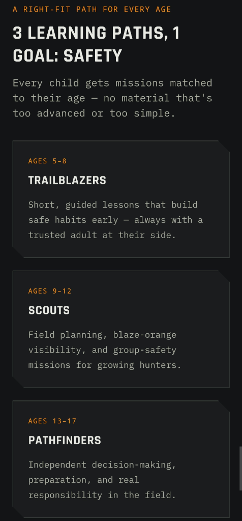
Raise a safe, confident young hunter.
Guide your kids ages 5–17 through interactive hunting safety missions, real decision drills, and earned trophies — all from one free parent account.
Bonus: every $10 you spend in the BHH shop earns a free seat (up to 5). Use them or share them.



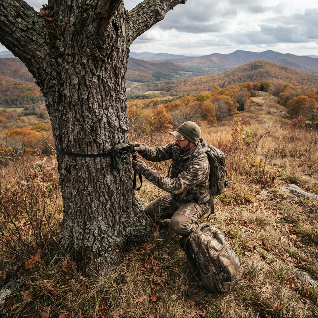
Mapping is not a one-and-done project. To get the most out of the Buckeye Hunter Hub tools, you need to keep your data current. Every time you pull an SD card or move a stand to a new tree, take thirty seconds to update your map.
If you find yourself struggling to remember where to start, check out our , which provide additional guidance on maximizing the utility of our digital interfaces. Remember, the best hunting strategy is a living document. By keeping your digital map as clean and accurate as your physical gear, you ensure that you are always hunting with a clear head, knowing exactly where your opportunities lie and how best to capitalize on them. It is about working smarter, staying organized, and ultimately spending more time in the stand and less time wondering where you left your equipment.
Join 725 hunters and anglers on Buckeye Hunter Hub — free.
Latest from the Community


Everything you need to hunt smarter — free
Buckeye Hunter Hub is a free, nationwide platform. Create an account and unlock the full toolkit:
Free Interactive Hunting Map
Mark stands, cameras, and sign. Draw hunting zones with public land & county overlays across all 50 states.
Zones with Group Sharing
Share zones with your hunting group, split property into sections, assign stands, and check in — all in one place.
50 States of Hunting Resources
Season dates, license links, and DNR regulations for every state, kept current so you never miss an opener.
Deer Movement Forecast
Data-driven daily movement predictions using wind, moon, and pressure — know when to sit before you go.
Waterfowl Movement & Tools
Flight-potential forecasts, migration numbers, decoy spread planner, and a full species field guide.
From the Maker Bench

SE Ohio Outdoors
Euro Mount Hook
Hand-built in the USA · $8.00
Shop the MakerBHH Partner

Firearms, ammo and gear from a local Ohio shop in Grafton. Stop in before the season.
dnaarmory.comShop This

StopBox Pro Ward | Wall-Mounted
$179.00$199.99

StopBox Pro Compact
$159.00$179.99

Get Well Card — Pole Down Week
$6.99

Christmas Card — Christmas Morning Perch
$6.99
Washington · E-Tag State
Washington Harvest Tags
E-check means you supply the tag. Printed with the exact fields Washington requires.
3-pack $22.95
More Articles

Woodsman Wisdom: Decoding Sign to Predict Whitetail Behavior
Moving beyond basic tracks, successful hunters look for the nuanced stories written in the dirt and timber. Here is how to interpret rubs, scrapes, and bedding areas to get within bow or rifle range this season.
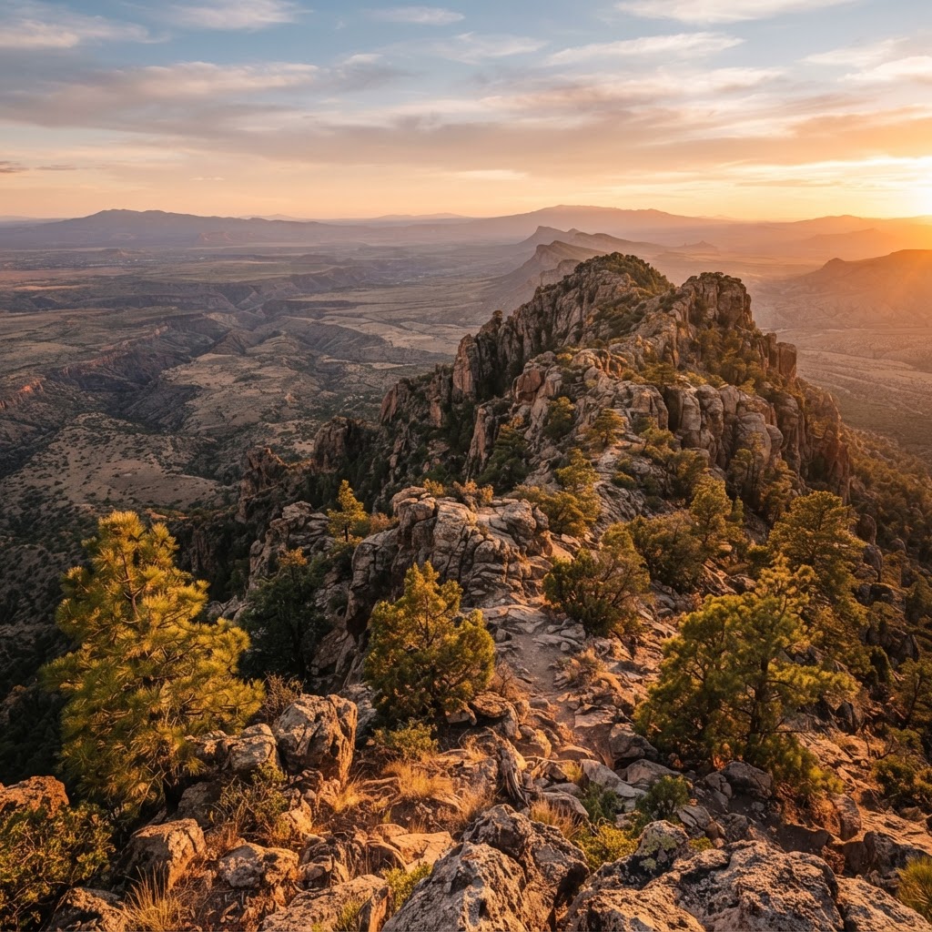
Desert Frontiers: A Comprehensive Guide to Navigating Arizona’s Public Hunting Lands
Arizona offers some of the most diverse and challenging public land hunting in the American Southwest, from high-altitude elk country to arid desert basins. Master the terrain with this breakdown of key regions and scouting essentials.
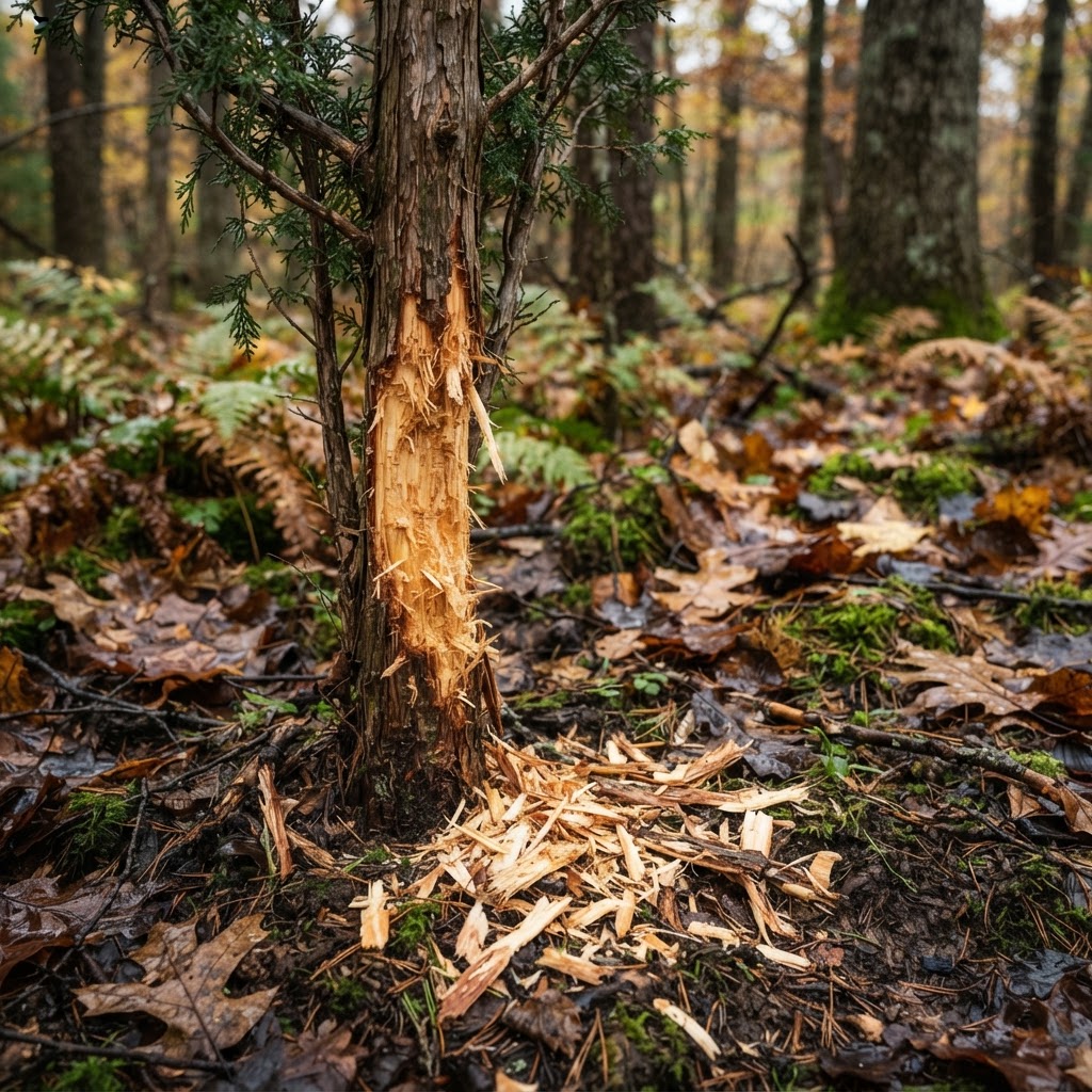
Architects of the Woods: Interpreting Whitetail Architecture for Strategic Positioning
Master the art of reading rubs, scrapes, and beds to transform your hunting strategy from guesswork into a calculated pursuit.

StopBox Security Cable Review: Is It Worth the Upgrade?
Looking to anchor your StopBox? We evaluate the heavy-duty Security Cable for hunters and homeowners to see if it provides the necessary peace of mind.