
Mastering Your Scouting Strategy: How to Mark Waypoints on Buckeye Hunter Hub
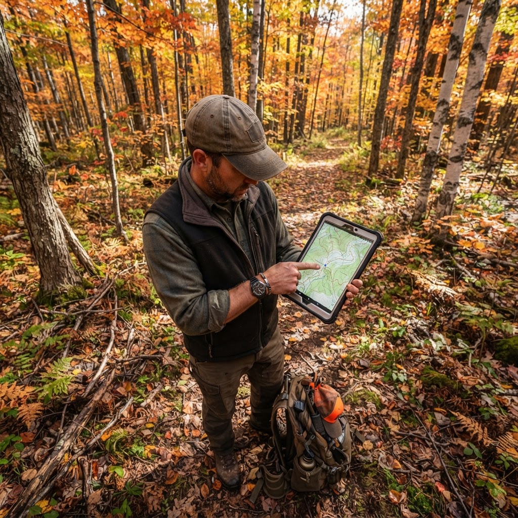
Scouting Smarter, Not Harder: The Power of Digital Mapping
Every seasoned hunter knows that success in the field is rarely a product of pure luck. Instead, it is the result of meticulous preparation, understanding animal behavior, and knowing exactly where you stand in relation to the landscape. At Buckeye Hunter Hub, we believe that technology should be an equalizer, helping you visualize the woods like never before. Utilizing allows you to move beyond memory and gut instinct, creating a digital blueprint of your hunting property that you can reference throughout the season.
Free hunting map, zones & 50-state resources
Save your spots, share zones with your group, and get deer & waterfowl movement forecasts — free.
Whether you are hunting whitetail in the Midwest or navigating public land across the country, marking your gear—stands, blinds, and trail cameras—is the first step toward a more organized hunt. By digitizing these locations, you are not just keeping records; you are building a database of movement patterns that will serve you for years.
Getting Started with Buckeye Hunter Hub Mapping
If you have never used a digital mapping tool before, the process might seem daunting, but it is designed to be intuitive. Once you log in, you gain access to high-resolution satellite imagery that provides a clear view of woodlines, transition zones, and water sources.
Step 1: Navigating the Map
Start by opening the main interface and searching for your hunting area. If you are unfamiliar with the topography, we recommend consulting to understand public land boundaries or access points. Once you have zeroed in on your coordinates, spend a moment analyzing the land features. Look for the pinch points and funnels that influence deer movement, as explained in .
Step 2: Dropping Your Waypoints
To mark a stand, blind, or camera, look for the 'Add Marker' tool in the toolbar. Click on the icon and place it exactly where your equipment is set up. A dialogue box will appear, allowing you to name the marker. We suggest being specific: instead of 'Stand 1,' use 'North Ridge Lock-On' or 'Creek Bottom Ground Blind.'
Add details such as the date the camera was hung or the date you last serviced your stand. This level of organization helps you compare how local environmental forecasts correlate with the activity captured on specific cameras. For those looking to optimize their planning even further, there are excellent complementary tools available for advanced AI hunt planning that can help identify the most productive times to hit specific waypoints based on current weather patterns.
Why Precision Matters
E-Tag States

Harvest Tags
E-check means you supply the tag. Printed with the exact fields your state requires.
3-pack $22.95
Why go through the effort of mapping everything? Because the woods change. A stand that was productive in October might be dead in December. By keeping an accurate map, you can review your history. If you notice on your that a specific trail camera consistently triggers activity during a certain phase of the rut, you can adjust your stand placement in real-time.
Furthermore, if you are planning to hunt new terrain, having these markers helps you create a 'scouting rotation.' You can identify which cameras need servicing and which stands need maintenance without wandering aimlessly through the timber, which keeps your scent footprint to a minimum. According to guidelines set by the National Deer Association, minimizing human disturbance is one of the most critical factors in maintaining a high-quality hunting area.
Integrating Data for Long-Term Success
Raise a safe, confident young hunter.
Guide your kids ages 5–17 through interactive hunting safety missions, real decision drills, and earned trophies — all from one free parent account.




When you mark your waypoints, you are collecting data. Over time, you will see a story emerge from the map. Perhaps your cameras on the south-facing slopes are only active during cold fronts, while your creek-side blinds are consistent producers regardless of the weather.
If you happen to be a waterfowl enthusiast, you might also be tracking migration paths. Integrating your waypoints with local data gives you a comprehensive view of how birds are utilizing your land. Remember to check local regulations through your state’s Department of Natural Resources to ensure your blinds and baiting practices are fully compliant with current laws.
Staying Organized Throughout the Year
As the season progresses, update your waypoints. If you pull a camera, mark it as 'Inactive' or remove it from the map. If you identify a new rub line or a fresh scrape, drop a marker there too. This is not just about equipment; it is about mapping the behavior of the game you are pursuing.
If you find yourself stuck or need advice on local conditions, don't forget to connect with others in local hunting community groups. Sharing successful strategies or getting tips on specific regions can be the difference between filling your tag and coming home empty-handed.
By leveraging the Buckeye Hunter Hub interactive map, you are taking control of your scouting process. It turns a chaotic day of walking through the woods into a calculated mission. Take the time this weekend to log your setup, verify your locations, and plan your next move. When the wind is right and the season is on, you will be glad you did the homework.
Explore More on Buckeye Hunter Hub
<!-- links-cleaned -->Join 384 hunters and anglers on Buckeye Hunter Hub — free.
Latest from the Community


New drop
Fresh Buckeye Hunter Hub tees & hoodies


Everything you need to hunt smarter — free
Buckeye Hunter Hub is a free, nationwide platform. Create an account and unlock the full toolkit:
Free Interactive Hunting Map
Mark stands, cameras, and sign. Draw hunting zones with public land & county overlays across all 50 states.
Zones with Group Sharing
Share zones with your hunting group, split property into sections, assign stands, and check in — all in one place.
50 States of Hunting Resources
Season dates, license links, and DNR regulations for every state, kept current so you never miss an opener.
Deer Movement Forecast
Data-driven daily movement predictions using wind, moon, and pressure — know when to sit before you go.
Waterfowl Movement & Tools
Flight-potential forecasts, migration numbers, decoy spread planner, and a full species field guide.
From the Maker Bench

Taggart Outdoors
Padded Rifle Sling
Hand-built in the USA · $134.99
Shop the MakerNew drop
Fresh Buckeye Hunter Hub tees & hoodies
Shop This

StopBox Pro Ward | Wall-Mounted
$179.00$199.99

StopBox Pro Compact
$159.00$179.99

Buckeye Hunter Hub Hoodie — The Point
$32.87

Buckeye Hunter Hub Hoodie — Whoa.
$32.87
E-Tag States
Harvest Tags
E-check means you supply the tag. Printed with the exact fields your state requires.
3-pack $22.95
More Articles

Cast-Iron Elk Backstrap
Elk steak has always been a favorite in my family. Hopefully you enjoy this simple yet delicious recipe.

Venison Burgers
My wife and I love burgers. In our first home I made this recipe from some deer we had in the freezer. It has gone on to be one of our favorite recipes.
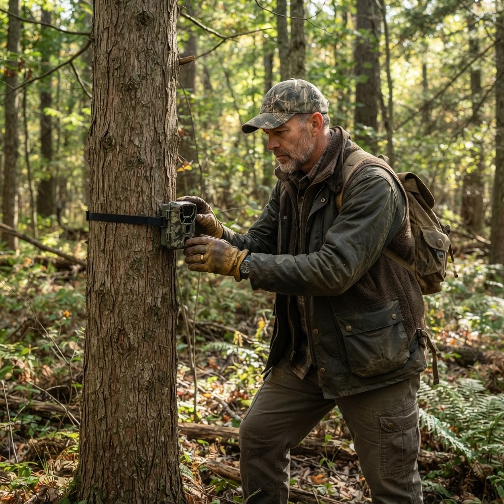
Joining the Frontline: What It Actually Takes to Be a Buckeye Hunter Hub Ambassador
Looking for more than just a social media title? Discover the reality of the Buckeye Hunter Hub Ambassador program, where genuine work meets real rewards for the dedicated outdoorsman.
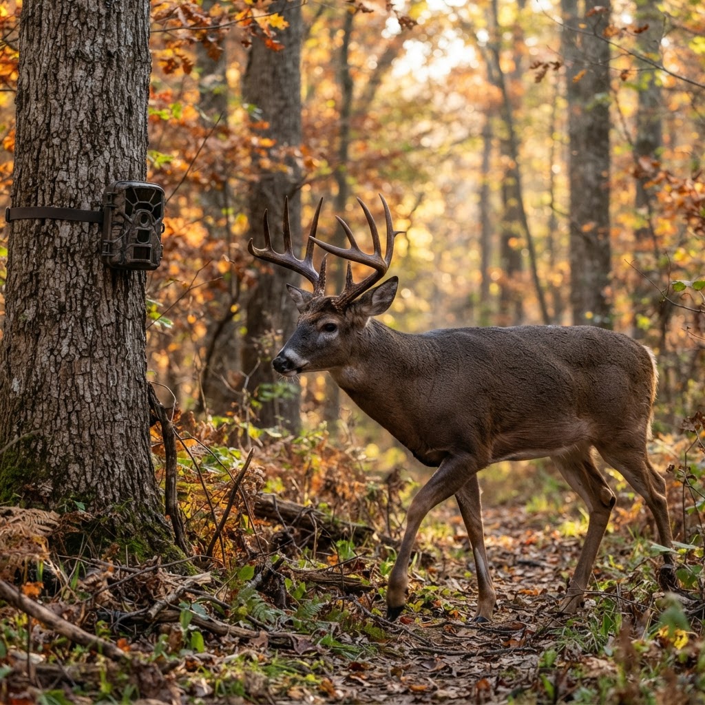
Automating Your Scouting: Using AI to Categorize Trail Cam Photos
Tired of sifting through thousands of blank photos? Learn how to leverage automated AI analysis to pinpoint deer movement and focus on the bucks that matter.