
Automating Your Scouting: Using AI to Categorize Trail Cam Photos
The Scouting Bottleneck
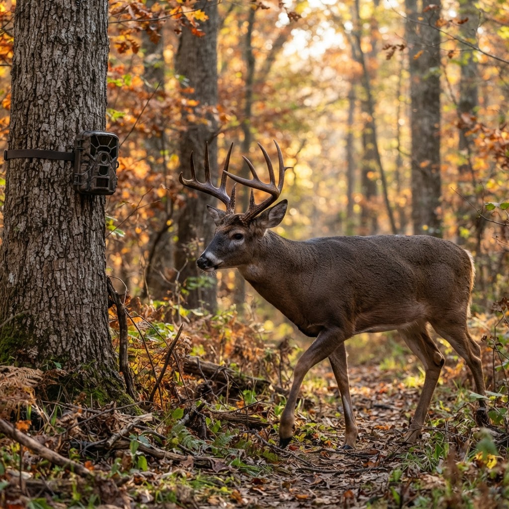
Every hunter knows the excitement of pulling an SD card. You walk out to your stand, swap the cards, and head home to the computer expecting to find a hit list of target bucks. Instead, you are met with three thousand photos of swaying branches, shadows, and empty fields. By the time you find the one frame containing a shooter buck, you have spent an hour squinting at your monitor. This inefficiency isn't just a waste of time; it’s a strategic failure. When you spend all your time sorting photos, you have less time for planning your next sit, studying , or finalizing your gear setup.
Free hunting map, zones & 50-state resources
Save your spots, share zones with your group, and get deer & waterfowl movement forecasts — free.
The real challenge isn't just the sheer volume of images; it’s the inability to quickly aggregate data. If you want to identify a travel pattern, you need to see when does are moving through an area versus when a mature buck is checking his scrapes. Doing this manually requires a level of patience that few of us actually possess. Fortunately, technology has reached a tipping point where you no longer need to be a data scientist to make sense of your trail camera network.
How Automated AI Analysis Works
Modern artificial intelligence for hunting is designed to do the heavy lifting that human eyes find tedious. Rather than clicking through every thumbnail, AI-driven photo analysis runs your images through a recognition engine. It filters out "false triggers"—like waving grass or heavy rain—and automatically tags images based on the subject detected: buck, doe, fawn, or even non-deer species.
This shift moves you from being a "photo processor" to a "data analyst." You aren't just looking at pictures anymore; you are looking at trends. By categorizing your captures, the system builds a behavioral profile for your specific patch of woods. Is that buck hitting the licking branch consistently at 3:00 AM? Now you know that before you even open your laptop.
Step-by-Step: Streamlining Your Workflow
If you are ready to stop wasting time on empty photos, here is how you can implement this into your current workflow using the Buckeye Hunter Hub:
E-Tag States

Harvest Tags
E-check means you supply the tag. Printed with the exact fields your state requires.
3-pack $22.95
- Upload or Sync: Get your camera images into the hub. Whether you are using cellular cameras or pulling SD cards manually, the platform allows you to aggregate all your images into a single dashboard.
- Run the AI Filter: Once your photos are uploaded, activate the feature. The system will begin scanning each image, stripping away the noise, and applying metadata tags to every file.
- Review the Filtered Feed: Navigate to your dashboard, where you can now toggle filters to view only "Bucks" or "Does." This instantly hides the thousands of non-essential images, leaving you with a curated list of game activity.
- Analyze the Patterns: Look at the timestamps. If your tagged buck photos show a clustering of activity at a specific intersection of trails, you have identified your next ambush point. Use these insights in tandem with our to determine the ideal wind and weather conditions for your next hunt.
Translating Data into Field Success
AI is a tool, not a substitute for woodsman intuition. The goal of using automated analysis is to highlight the "when" and "where" so you can apply the "how" with confidence.
Raise a safe, confident young hunter.
Guide your kids ages 5–17 through interactive hunting safety missions, real decision drills, and earned trophies — all from one free parent account.




One of the most practical ways to use this data is to map out transition zones. When you see consistent movement patterns appearing in your filtered AI results, place those captures onto your . Seeing the movement in a spatial context often reveals why a buck chose one trail over another. If you notice a change in the frequency of doe sightings on your cameras, it might signal the beginning of a shift in the rut or a change in local food availability.
Don't get bogged down in the minutiae of every single frame. Focus on the trends. Does the buck only show up when the temperature drops below fifty degrees? That data point is worth more than a dozen individual photos. When you spend less time managing files and more time interpreting the story the data is telling you, your hit rate for mature deer will inevitably climb.
This high-level analytical capability, including the powerful AI filtering tools, is available for free with a Buckeye Hunter Hub membership. We believe that professional-grade tools should be accessible to every hunter, regardless of their budget. By stripping away the administrative burden of scouting, we hope to put more hunters in the right tree, at the right time, with the right information.
Join 379 hunters and anglers on Buckeye Hunter Hub — free.
Latest from the Community


New drop
Fresh Buckeye Hunter Hub tees & hoodies


Everything you need to hunt smarter — free
Buckeye Hunter Hub is a free, nationwide platform. Create an account and unlock the full toolkit:
Free Interactive Hunting Map
Mark stands, cameras, and sign. Draw hunting zones with public land & county overlays across all 50 states.
Zones with Group Sharing
Share zones with your hunting group, split property into sections, assign stands, and check in — all in one place.
50 States of Hunting Resources
Season dates, license links, and DNR regulations for every state, kept current so you never miss an opener.
Deer Movement Forecast
Data-driven daily movement predictions using wind, moon, and pressure — know when to sit before you go.
Waterfowl Movement & Tools
Flight-potential forecasts, migration numbers, decoy spread planner, and a full species field guide.
From the Maker Bench

Taggart Outdoors
Padded Rifle Sling
Hand-built in the USA · $134.99
Shop the MakerNew drop
Fresh Buckeye Hunter Hub tees & hoodies
Shop This

StopBox Pro Ward | Wall-Mounted
$179.00$199.99

StopBox Pro Compact
$159.00$179.99

Buckeye Hunter Hub Hoodie — The Point
$32.87

Buckeye Hunter Hub Hoodie — Whoa.
$32.87
E-Tag States
Harvest Tags
E-check means you supply the tag. Printed with the exact fields your state requires.
3-pack $22.95
More Articles
Joining the Frontline: What It Actually Takes to Be a Buckeye Hunter Hub Ambassador
Looking for more than just a social media title? Discover the reality of the Buckeye Hunter Hub Ambassador program, where genuine work meets real rewards for the dedicated outdoorsman.
Mastering the Dry-Field Edge: Tactical Canada Goose Strategies
Success in the field demands more than just a big spread; it requires a deep understanding of atmospheric triggers and precise, high-definition concealment.

Introducing the BHH Grit Whitetail Tee: Built for the Field and Beyond
Meet your new favorite hunting t-shirt. The BHH Grit Whitetail Tee combines rugged comfort with the spirit of the outdoors, making it the perfect addition to your gear rotation.

Why Range Time Is Essential for Every Hunter
Hunting success starts long before you head into the field. Discover why consistent range time is the foundation of ethical, confident, and successful hunting.