
Mastering Your Scouting: How to Pinpoint Locations with Buckeye Hunter Hub
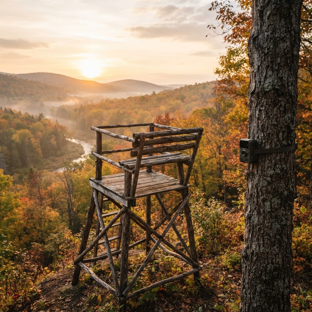
Scouting Smarter, Not Harder
Every successful hunting season begins long before the first morning in the woods. Whether you are chasing big whitetail bucks or scouting new public land for waterfowl, your ability to visualize the terrain is your greatest asset. For years, hunters relied on paper maps and mental notes, but those methods often fall short when the pressure is on. At Buckeye Hunter Hub, we believe that technology should be an extension of your woodsman instincts, not a distraction. Our allow you to consolidate your scouting data into a single, intuitive interface, ensuring that when you step into the timber, you already have a plan.
Free hunting map, zones & 50-state resources
Save your spots, share zones with your group, and get deer & waterfowl movement forecasts — free.
The Power of Precision Waypoints
Why do we mark waypoints? It isn’t just about knowing where your gear is; it’s about understanding the geometry of the woods. By accurately placing icons for your tree stands, ground blinds, and trail cameras, you begin to see patterns. Are your cameras consistently capturing movement in the same travel corridor? Is your stand located too far from the thick bedding area to intercept that buck during legal light? When you place these markers on our interactive map, you transform random field observations into a strategic blueprint. This allows you to cross-reference your stand locations with to ensure you are hunting the most efficient spots during the peak of the rut.
Step-by-Step: Adding Waypoints in Buckeye Hunter Hub
Using our mapping tool is designed to be seamless so you can spend less time behind a screen and more time in the field. Follow these steps to start building your custom scouting database:
1. Identify Your Area
Open the tool and navigate to your hunting area. You can use the search bar to locate specific tracts of land or manually drag and drop to your property lines. Ensure you are zoomed in close enough to distinguish between topographical features like creek beds, ridgelines, and clearings.
2. Select the Tool
Look for the 'Add Waypoint' or 'Pin' icon located in the map menu. Once clicked, your cursor will transform into a precision crosshair. This is your digital marker; choose exactly where you want to place your stand, blind, or camera.
3. Customize Your Marker
After clicking the map, a dialogue box will appear. Here, you can select the icon type that matches your equipment—be it a stand, a blind, or a camera. Don't stop there; use the notes section to add specifics. Include details like the height of the stand, the date the camera was deployed, or a quick note about the wind direction the stand is best suited for. Detailed notes make your mid-season adjustments much faster.
Washington · E-Tag State

Washington Harvest Tags
E-check means you supply the tag. Printed with the exact fields Washington requires.
3-pack $22.95
4. Save and Review
Once saved, your waypoint will remain visible every time you load the map. You can toggle visibility on and off if you want to keep your view clean, but keeping them active allows you to see the spatial relationship between your gear and natural features like water sources or food plots.
Using Data to Influence Your Strategy
Once you have your primary locations plotted, you can start layering in other data points. For instance, if you are tracking waterfowl, you might want to overlay your blind locations against the latest data on . This helps you adjust your setup based on where the birds are currently holding.
Raise a safe, confident young hunter.
Guide your kids ages 5–17 through interactive hunting safety missions, real decision drills, and earned trophies — all from one free parent account.




Furthermore, when you combine your mapped locations with our , you can identify which stands are 'high-percentage' during specific weather fronts. If the forecast suggests a significant drop in pressure, check your map. Which of your marked stands is closest to the transition zones where deer often move after a storm? Having that information at your fingertips allows you to make data-driven decisions while you are still at home, turning a 'feeling' into a tactical advantage.
Keeping Your Scouting Organized
Consistency is the hallmark of a veteran hunter. As the season progresses, don't forget to update your waypoints. If you pull a trail camera because of lack of activity, mark it as 'Inactive' or move the pin to the new location. Keeping your map current prevents the 'ghost hunt' scenario—walking into a spot where you think you have a camera, only to realize it was moved weeks ago.
We encourage all our users to use these tools in tandem with to ensure that their scouting and placement strictly adhere to local regulations regarding baiting, motorized access, and stand placement on public land.
Final Thoughts
The most successful hunters are those who never stop learning from the landscape. By using the Buckeye Hunter Hub platform to map your season, you are creating a historical record of your hunts. Over time, these pins will tell a story of where the game moves, where they bed, and how they react to the changing seasons. Whether you are a beginner looking to understand the basics or a seasoned pro trying to optimize your harvest, we invite you to explore for more tips on field craft and technology. Your next big success is waiting to be found—go out and mark it.
Join 277 hunters and anglers on Buckeye Hunter Hub — free.
Latest from the Community


New drop
Fresh Buckeye Hunter Hub tees & hoodies


Everything you need to hunt smarter — free
Buckeye Hunter Hub is a free, nationwide platform. Create an account and unlock the full toolkit:
Free Interactive Hunting Map
Mark stands, cameras, and sign. Draw hunting zones with public land & county overlays across all 50 states.
Zones with Group Sharing
Share zones with your hunting group, split property into sections, assign stands, and check in — all in one place.
50 States of Hunting Resources
Season dates, license links, and DNR regulations for every state, kept current so you never miss an opener.
Deer Movement Forecast
Data-driven daily movement predictions using wind, moon, and pressure — know when to sit before you go.
Waterfowl Movement & Tools
Flight-potential forecasts, migration numbers, decoy spread planner, and a full species field guide.
From the Maker Bench

Taggart Outdoors
Padded Rifle Sling
Hand-built in the USA · $134.99
Shop the MakerNew drop
Fresh Buckeye Hunter Hub tees & hoodies
Shop This

StopBox Pro Ward | Wall-Mounted
$179.00$199.99

StopBox Pro Compact
$159.00$179.99

Buckeye Hunter Hub Tee — No Tag Left Behind
$20.55

Buckeye Hunter Hub Hoodie — No Tag Left Behind
$32.87
Washington · E-Tag State
Washington Harvest Tags
E-check means you supply the tag. Printed with the exact fields Washington requires.
3-pack $22.95
More Articles
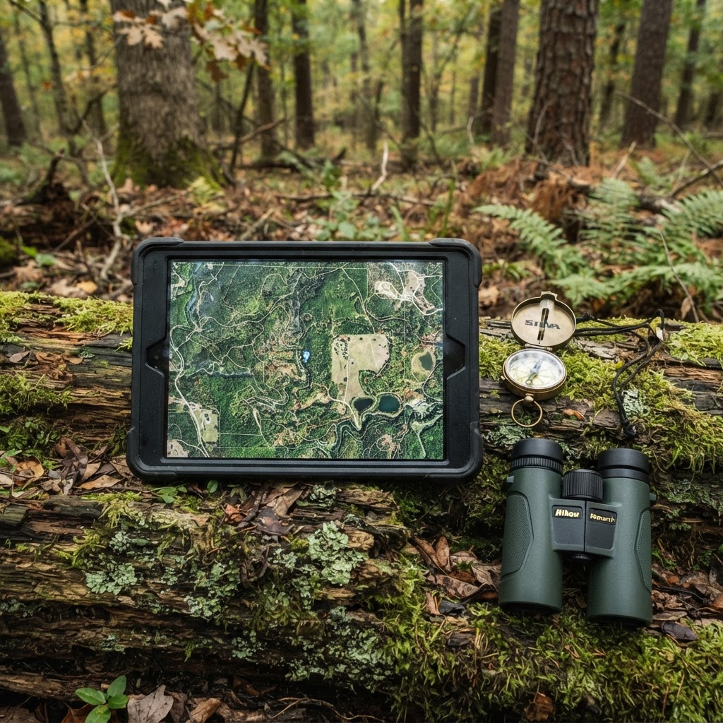
Optimizing Your Scouting: A Practical Approach to Waypoint Management
Transform your chaotic scouting notes into a streamlined digital strategy by mastering the waypoint features of the Buckeye Hunter Hub interactive map. Learn how to pinpoint your next harvest with surgical accuracy.
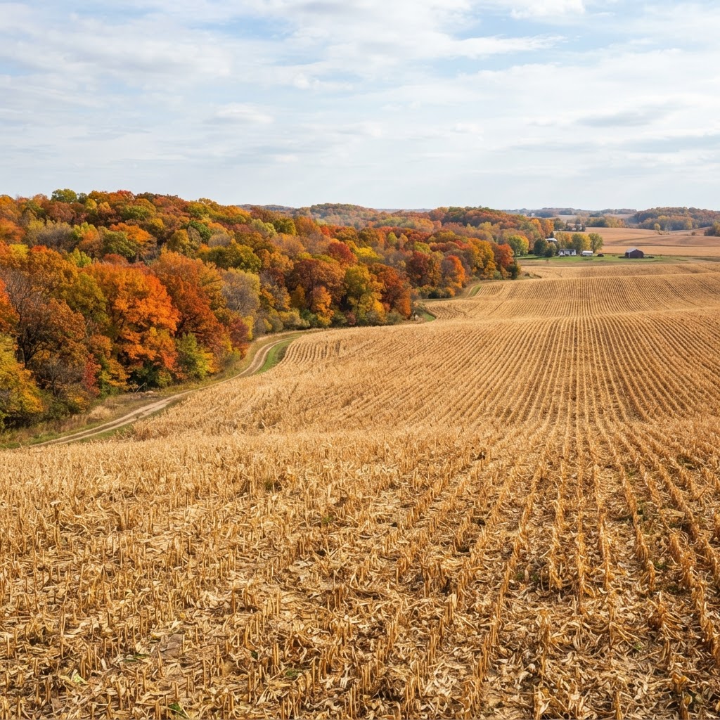
Cornfield Kingdom: Navigating Iowa’s Premier Public Land Opportunities
Iowa is more than just rolling farmland; it is a legendary destination for public land hunters willing to put in the work. Learn how to unlock the Hawkeye State’s best kept secrets.
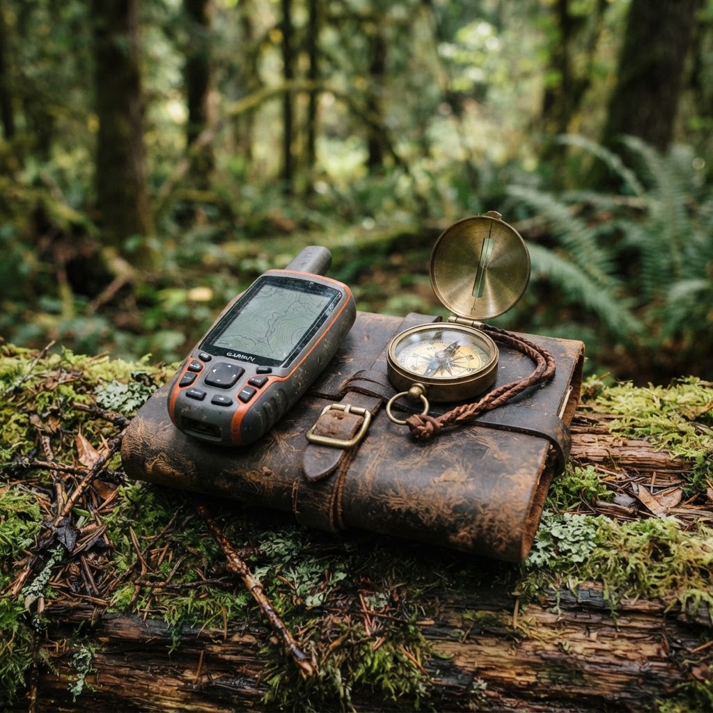
Precision Scouting: Mapping Your Setup for a More Efficient Season
Stop wandering the woods aimlessly and start hunting with purpose by mastering waypoint management for your gear and observations.
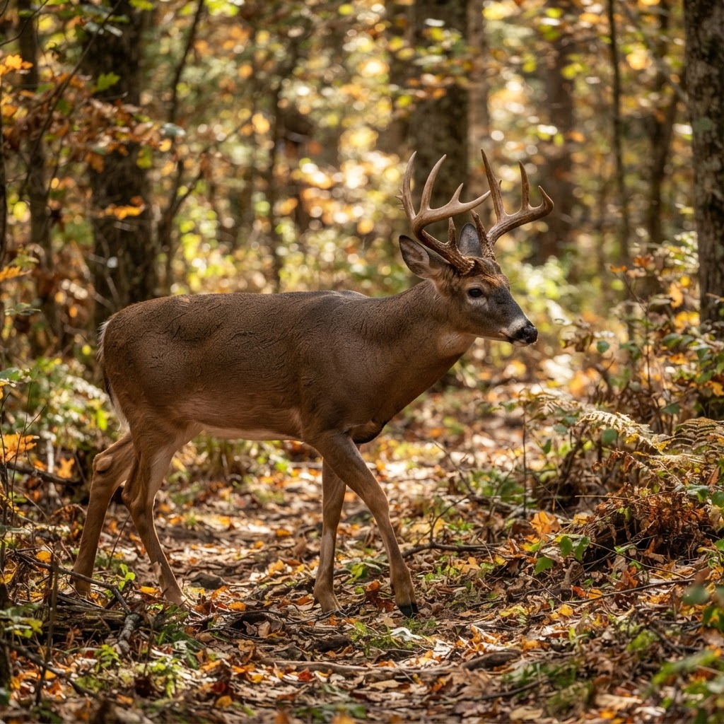
Data-Driven Scouting: Leveraging AI for Intelligent Deer Analysis
Tired of sorting through thousands of empty trail camera frames? Discover how to use automated AI analysis to pinpoint deer movement, categorize bucks, and reclaim your scouting time.