
Mastering Your Scouting: How to Mark Waypoints on Buckeye Hunter Hub
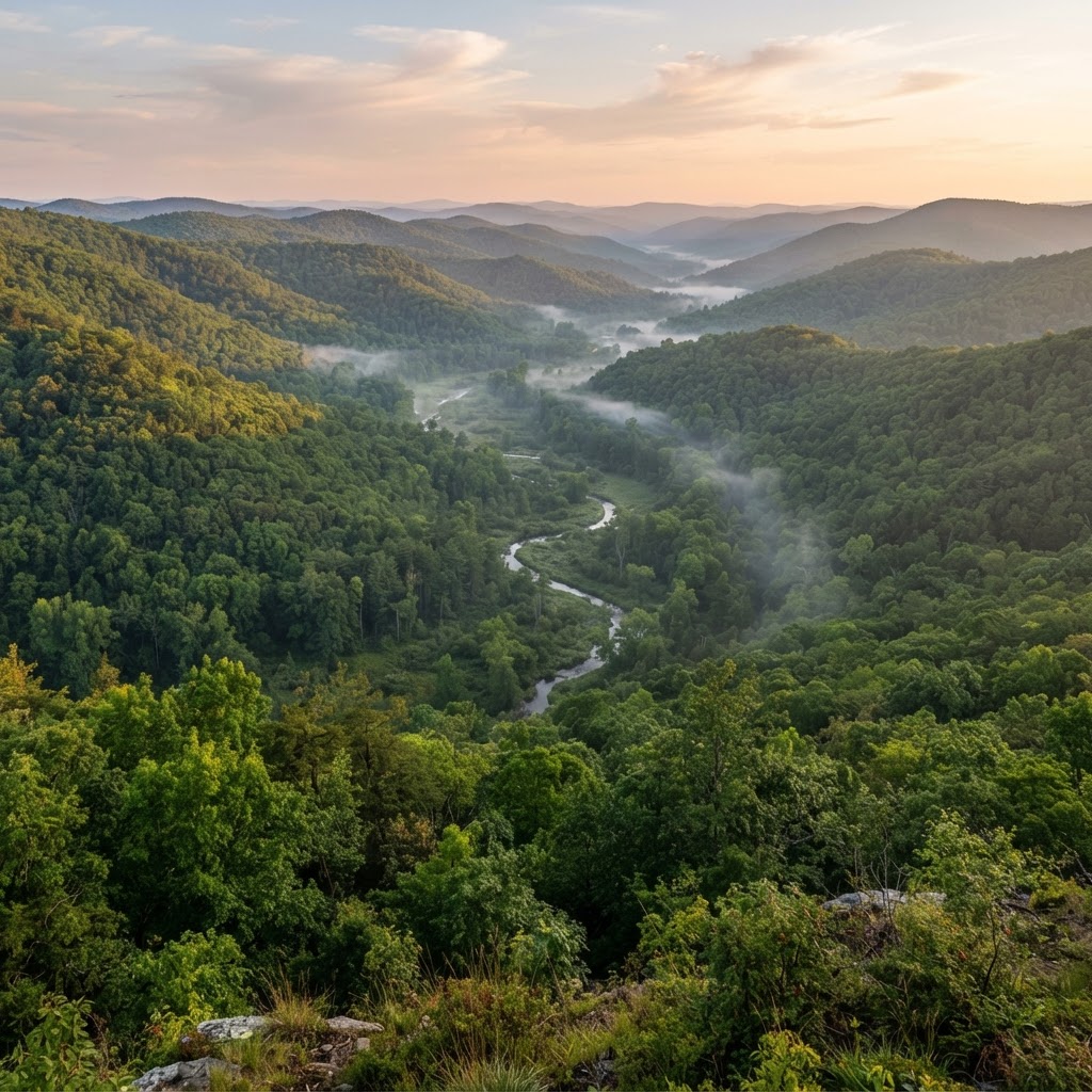
Scouting Smarter, Not Harder
Every serious hunter knows that the secret to a successful season isn't just about where you sit on opening morning—it's about the hours of preparation you put in weeks or even months beforehand. In the digital age, scouting is no longer confined to physical boots-on-the-ground exploration. By utilizing , you can overlay your knowledge of the landscape with precise data to make better decisions. At Buckeye Hunter Hub, we have designed our waypoint marking feature to act as your digital notebook, keeping your vital intelligence organized and accessible from any device.
Free hunting map, zones & 50-state resources
Save your spots, share zones with your group, and get deer & waterfowl movement forecasts — free.
Why Waypoints Matter
When you are scouting a large piece of property, it is easy to forget exactly where that perfect bottleneck is or which cedar tree held that massive buck's scrape last year. By marking specific waypoints for your stands, blinds, and trail cameras, you create a visual database of your property. This allows you to look for patterns in deer movement, monitor how hunting pressure affects certain areas, and adjust your strategy based on the provided on our platform.
Step-by-Step: Marking Your First Waypoint
Marking a waypoint on the Buckeye Hunter Hub platform is intuitive and designed for quick use, even when you are out in the field. Follow these steps to start building your property profile:
1. Accessing the Map
Log in to your account and navigate to the map view. You will see a variety of layers available, including topographical, satellite, and hybrid views. Choosing the right layer is crucial—satellite view is often best for identifying thick cover or food plot edges, while topo lines help you spot benches and ridge lines that act as travel corridors.
2. Identifying the Spot
Zoom into the specific area where you want to place your stand or camera. Look for pinch points, transition zones between bedding and feeding areas, or crossing points near water sources. These are the locations that deserve a waypoint.
3. Dropping the Marker
Click the 'Add Waypoint' icon in the main toolbar. Your cursor will turn into a crosshair; click exactly on the location you have identified. A menu will appear, allowing you to name the point and select an icon. We offer specific icons for tree stands, ground blinds, and trail cameras to keep your map organized.
4. Adding Details
Don't just mark the spot; document it. Within the waypoint properties, add notes regarding wind direction, the date the camera was placed, or the specific tree type. If you are marking a camera, you might note the battery life or the last time you checked the SD card. These details provide invaluable context when you are reviewing your notes later in the season.
E-Tag States

Harvest Tags
E-check means you supply the tag. Printed with the exact fields your state requires.
3-pack $22.95
Using Data to Inform Your Strategy
Once you have your waypoints plotted, the true power of Buckeye Hunter Hub begins to shine. When you combine your physical stand locations with your trail camera data, you can start to understand the habits of the deer on your property. You might notice that a particular stand location is only productive when the wind is out of the North, or that your trail cameras are picking up more buck activity near the end of the rut.
By cross-referencing your map with , you can move from a reactive hunting strategy to a proactive one. If you notice a shift in movement patterns, you can quickly move a camera or adjust a stand location, knowing exactly how that change fits into the broader layout of your hunting ground.
Raise a safe, confident young hunter.
Guide your kids ages 5–17 through interactive hunting safety missions, real decision drills, and earned trophies — all from one free parent account.
Bonus: every $10 you spend in the BHH shop earns a free seat (up to 5). Use them or share them.




Organizing for the Long Haul
As your collection of waypoints grows, organization becomes key. Use our filtering tools to toggle specific markers on or off. For example, if you are planning a morning hunt, hide your trail camera icons to clear up the map, leaving only your stand locations visible. This reduces visual clutter and helps you focus on your tactical options for that specific hunt.
Remember to review regularly to ensure your stands and blinds comply with local regulations. Every state has different rules regarding tree damage, permanent structures, and baiting, and staying informed is just as much a part of scouting as knowing where the deer are.
Connecting with Others
Scouting doesn't have to be a solitary endeavor. While your personal map remains private, you can share your insights and learn from others by joining on our platform. Discussing general patterns—without giving away your secret honey holes—is a fantastic way to sharpen your skills. Learning how other hunters navigate public land or manage their private leases can provide fresh perspectives that you can then apply to your own waypoint management strategy.
Final Thoughts on Digital Scouting
Technology is only as good as the hunter behind the screen. Waypoints are not a substitute for time in the woods, but they are an incredible tool to maximize that time. By digitizing your observations, you eliminate the "what was that tree called?" moments and replace them with precise, actionable data.
Whether you are chasing whitetails or planning a season-long strategy for your favorite lease, Buckeye Hunter Hub provides the tools to keep you organized. Start mapping your property today, and see how much more effectively you can hunt when you truly know the ground you walk on.
Join 396 hunters and anglers on Buckeye Hunter Hub — free.
Latest from the Community


New drop
Fresh Buckeye Hunter Hub tees & hoodies


Everything you need to hunt smarter — free
Buckeye Hunter Hub is a free, nationwide platform. Create an account and unlock the full toolkit:
Free Interactive Hunting Map
Mark stands, cameras, and sign. Draw hunting zones with public land & county overlays across all 50 states.
Zones with Group Sharing
Share zones with your hunting group, split property into sections, assign stands, and check in — all in one place.
50 States of Hunting Resources
Season dates, license links, and DNR regulations for every state, kept current so you never miss an opener.
Deer Movement Forecast
Data-driven daily movement predictions using wind, moon, and pressure — know when to sit before you go.
Waterfowl Movement & Tools
Flight-potential forecasts, migration numbers, decoy spread planner, and a full species field guide.
From the Maker Bench

Taggart Outdoors
Padded Rifle Sling
Hand-built in the USA · $134.99
Shop the MakerNew drop
Fresh Buckeye Hunter Hub tees & hoodies
Shop This

StopBox Pro Ward | Wall-Mounted
$179.00$199.99

StopBox Pro Compact
$159.00$179.99

Buckeye Hunter Hub Hoodie — The Point
$32.87

Buckeye Hunter Hub Hoodie — Whoa.
$32.87
E-Tag States
Harvest Tags
E-check means you supply the tag. Printed with the exact fields your state requires.
3-pack $22.95
More Articles
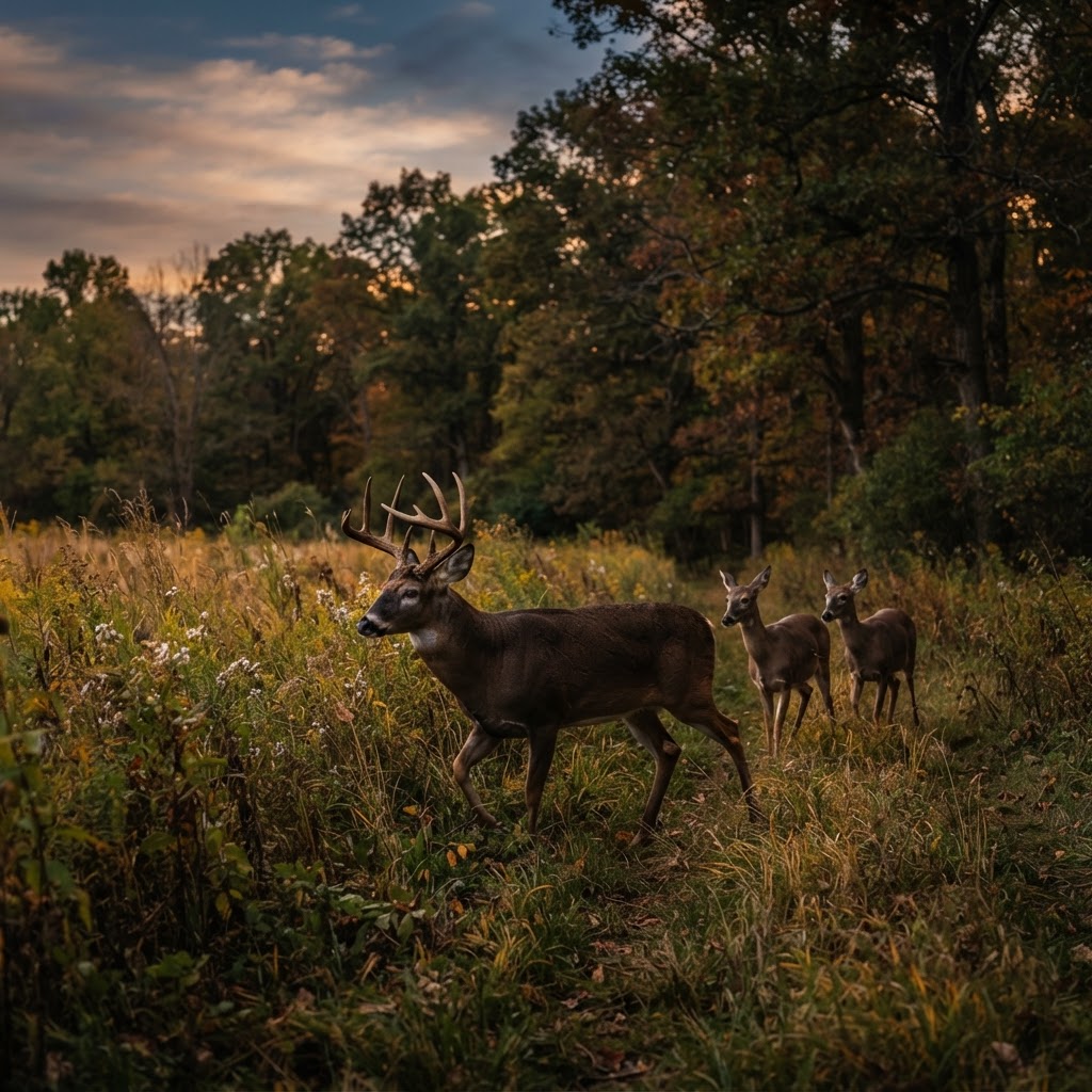
From Snapshot to Strategy: Reading Buck, Doe, and Deer Movement with AI
A trail camera can capture hundreds of deer photos without telling you which images matter most. Learn how to use AI analysis to identify bucks and does, organize observations, and turn scattered timestamps into a practical hunting plan.

Field to Table: Crafting the Ultimate Pheasant Pot Pie
Elevate your upland harvest with this hearty, comforting pheasant pot pie that balances wild-caught flavors with a flaky, golden crust.
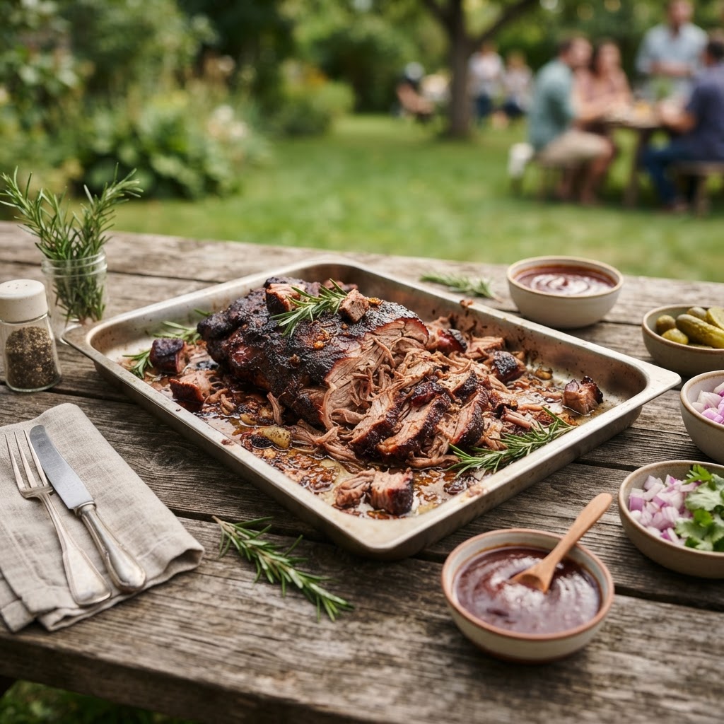
Smoke and Savor: The Ultimate Wild Hog Pulled Pork Guide
Transform your lean wild hog shoulder into a melt-in-your-mouth backyard masterpiece with this low-and-slow culinary approach.

Cast-Iron Elk Backstrap
Elk steak has always been a favorite in my family. Hopefully you enjoy this simple yet delicious recipe.