Mastering the Digital Hunt: A Step-by-Step Guide to E-Scouting
Why E-Scouting is Your Greatest Asset
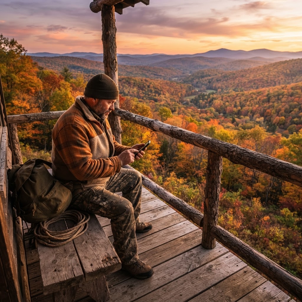
For the modern hunter, the days of showing up to a property blind are over. E-scouting has revolutionized the way we approach new terrain, allowing us to identify pinch points, bedding areas, and travel corridors long before our boots hit the dirt. At Buckeye Hunter Hub, we believe that ninety percent of a successful hunt happens before the season even begins. By leveraging satellite imagery and topographic data, you can save valuable time and preserve the integrity of your hunting area by minimizing human scent and disturbance.
Free hunting map, zones & 50-state resources
Save your spots, share zones with your group, and get deer & waterfowl movement forecasts — free.
Phase 1: Analyzing Topography and Terrain
The first step in your digital scouting journey is understanding the "bones" of the land. Use to look beyond the colorful foliage and examine the contour lines. You are looking for the path of least resistance. Deer are like humans in this regard; they prefer to travel along benches, saddles, and gentle slopes rather than climbing steep, rugged faces.
Look for "funnels" or "pinch points" where the terrain forces movement into a narrow corridor. A saddle between two high points is a classic example of a natural funnel that attracts deer consistently. When you identify these features, mark them as potential stand locations. Understanding these physical constraints is essential to mastering .
Phase 2: Identifying Food and Cover
Once you have the terrain figured out, you need to find the essentials: food and bedding. Using aerial views, look for transitions. A transition zone is an area where two different habitats meet, such as an oak flat adjacent to a swamp or a brushy clear-cut next to a field of standing corn. These edges are high-traffic areas that provide both security and nourishment.
Don't forget to look for water. A reliable water source can be a magnet during early-season heat waves or the late-season rut when bucks are exhausted. If you are specifically targeting migratory birds, you might also want to consult the to see how nearby water bodies play into regional flight paths.
Phase 3: Logistics and Timing
Digital scouting allows you to build a comprehensive plan that includes entry and exit routes. Many hunters focus so much on the stand site that they forget how they will get in without being detected. Use your map tools to scout for low-profile entry routes. Can you utilize a creek bed or a thick hedgerow to approach your stand undetected? If your path is visible from a bedding area, you have already lost the element of surprise.
E-Tag States

Harvest Tags
E-check means you supply the tag. Printed with the exact fields your state requires.
3-pack $22.95
Timing is equally critical. Use to align your scouting findings with the phase of the season. For example, a funnel that is productive during the rut might be completely void of activity during the opening week of archery season. Aligning your digital scouting with the life cycle of your target species ensures that you are in the right place at the right time.
Phase 4: Gear and Safety
Even when scouting from your couch, you need a system for documenting your findings. Keep a digital log of your points of interest, including notes on why you picked a specific location. Will you need a portable climbing stand, or is a permanent ladder stand more appropriate for this specific tree?
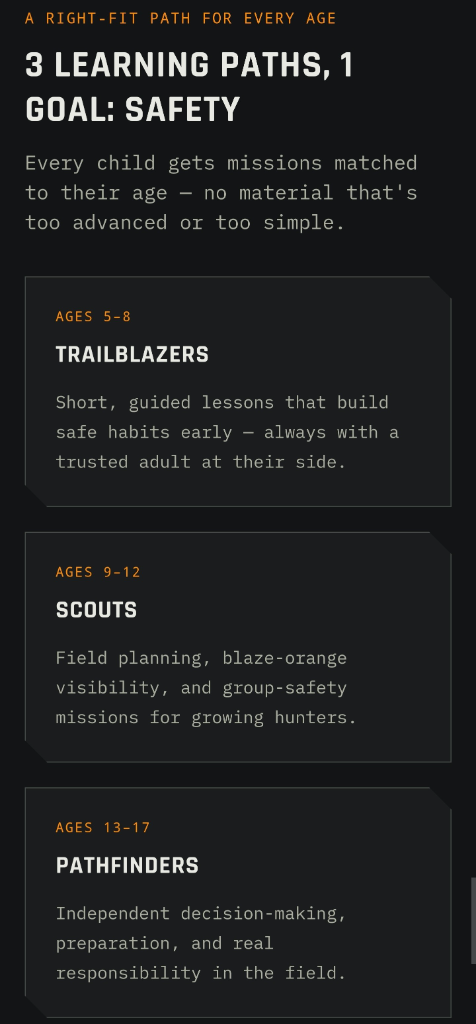
Raise a safe, confident young hunter.
Guide your kids ages 5–17 through interactive hunting safety missions, real decision drills, and earned trophies — all from one free parent account.
Bonus: every $10 you spend in the BHH shop earns a free seat (up to 5). Use them or share them.



Always check to ensure your planned locations comply with local regulations, such as minimum distances from property lines or specific safety zones. Safety is paramount—always share your digital maps and planned location with a partner or family member before heading into the field. If you are planning a trip with friends, use to compare notes and share collective knowledge about public land or neighboring tracts.
From Virtual to Physical
E-scouting is not a substitute for boots on the ground; it is a precursor to it. Once you have identified your "hot zones," your field scouting missions will be far more surgical. Instead of aimlessly wandering, you will walk straight to the locations that showed promise on your screen to verify sign—scrapes, rubs, or tracks. This methodology turns a "hope-based" hunt into a calculated pursuit.
As you begin to apply these techniques, keep an open mind. Technology provides a snapshot, but nature is dynamic. Use these digital maps to build your foundation, stay flexible, and always trust the fresh sign you see during your physical scouting trips. With a disciplined approach to e-scouting, you will find yourself in the stand with more confidence and, ultimately, more success in your freezer.
Join 392 hunters and anglers on Buckeye Hunter Hub — free.
Latest from the Community


New drop
Fresh Buckeye Hunter Hub tees & hoodies


Everything you need to hunt smarter — free
Buckeye Hunter Hub is a free, nationwide platform. Create an account and unlock the full toolkit:
Free Interactive Hunting Map
Mark stands, cameras, and sign. Draw hunting zones with public land & county overlays across all 50 states.
Zones with Group Sharing
Share zones with your hunting group, split property into sections, assign stands, and check in — all in one place.
50 States of Hunting Resources
Season dates, license links, and DNR regulations for every state, kept current so you never miss an opener.
Deer Movement Forecast
Data-driven daily movement predictions using wind, moon, and pressure — know when to sit before you go.
Waterfowl Movement & Tools
Flight-potential forecasts, migration numbers, decoy spread planner, and a full species field guide.
From the Maker Bench

Taggart Outdoors
Padded Rifle Sling
Hand-built in the USA · $134.99
Shop the MakerNew drop
Fresh Buckeye Hunter Hub tees & hoodies
Shop This

StopBox Pro Ward | Wall-Mounted
$179.00$199.99

StopBox Pro Compact
$159.00$179.99

Buckeye Hunter Hub Hoodie — The Point
$32.87

Buckeye Hunter Hub Hoodie — Whoa.
$32.87
E-Tag States
Harvest Tags
E-check means you supply the tag. Printed with the exact fields your state requires.
3-pack $22.95
More Articles

Field to Table: Crafting the Ultimate Pheasant Pot Pie
Elevate your upland harvest with this hearty, comforting pheasant pot pie that balances wild-caught flavors with a flaky, golden crust.
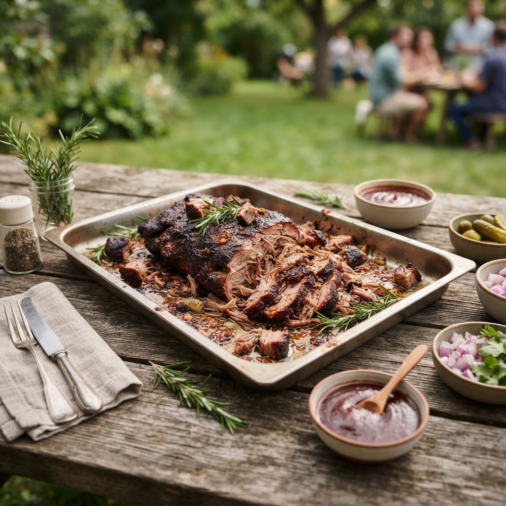
Smoke and Savor: The Ultimate Wild Hog Pulled Pork Guide
Transform your lean wild hog shoulder into a melt-in-your-mouth backyard masterpiece with this low-and-slow culinary approach.

Cast-Iron Elk Backstrap
Elk steak has always been a favorite in my family. Hopefully you enjoy this simple yet delicious recipe.

Venison Burgers
My wife and I love burgers. In our first home I made this recipe from some deer we had in the freezer. It has gone on to be one of our favorite recipes.