Master Your Terrain: How to Mark Waypoints Like a Pro with Buckeye Hunter Hub
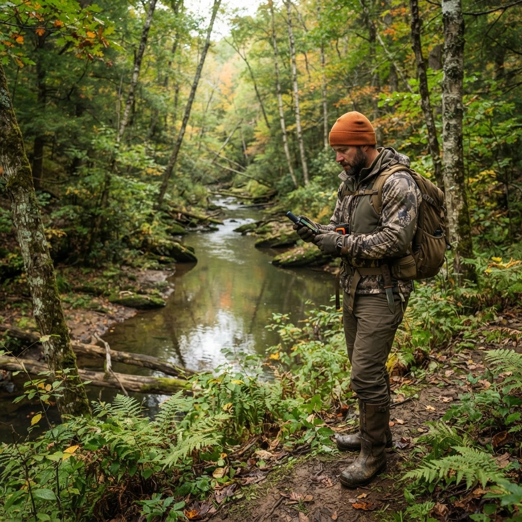
Scouting Smarter, Not Harder
Every seasoned hunter knows that success in the field is rarely a product of pure luck. It is the result of thousands of small decisions, meticulous preparation, and an intimate understanding of the landscape. While traditional paper maps and physical scouting have their place, the digital age has revolutionized how we approach the woods. Using the available on Buckeye Hunter Hub, you can turn your phone into a high-powered scouting workstation, ensuring you never lose track of a hot trail cam site or a productive stand location again.
Free hunting map, zones & 50-state resources
Save your spots, share zones with your group, and get deer & waterfowl movement forecasts — free.
The Power of Digital Waypoints
Waypoints are essentially virtual pins you drop on your map to mark specific coordinates. When you are out in the field, these markers serve as your memory, allowing you to focus on wind direction, sign, and movement rather than struggling to remember exactly where you hung that hang-on stand three miles back in the brush.
By systematically marking your locations, you build a historical database of your hunting property. Over time, you begin to see patterns: why a specific pinch point produced three bucks in October but went cold in November, or how moving a trail camera fifty yards toward the creek bed changed your entire season. This data-driven approach is the foundation of hunting smarter.
Step-by-Step Guide: Marking Waypoints on Buckeye Hunter Hub
Getting started with our digital mapping tools is intuitive, even for those who aren't tech-savvy. Follow these steps to begin populating your map with critical intelligence.
1. Access Your Map
Log into your account and navigate to our . Ensure your GPS location services are enabled on your mobile device if you are currently in the field, as this will help you place waypoints with extreme precision.
2. Identify the Target
Whether you are scouting for new property or evaluating existing stands, look for terrain features like ridge lines, saddles, bedding areas, and water sources. These are the natural funnels where deer travel.
3. Placing the Waypoint
On the Buckeye Hunter Hub interface, you will see a 'Drop Pin' or 'Add Waypoint' icon. Tap this icon, then select the exact location on the map screen. You can usually choose from specific icons, such as a tree stand, a blind, or a camera. Categorizing your waypoints helps keep your map clean and legible at a glance.
E-Tag States

Harvest Tags
E-check means you supply the tag. Printed with the exact fields your state requires.
3-pack $22.95
4. Adding Detailed Notes
Don't just place a pin; give it context. Most hunters miss the opportunity to add metadata. Use the note field to record the date the stand was hung, the height of the platform, the camera model, or even a 'last checked' date. If you find a massive scrape nearby, drop a secondary waypoint and label it 'Active Scrape' so you can check it during peak times.
Strategic Deployment of Your Assets
Once you have your waypoints set, you can start analyzing your setup from a bird’s-eye view. Are your stands clustered too tightly? Are you creating too much scent pressure by walking past three different cameras to get to your favorite stand?
Raise a safe, confident young hunter.
Guide your kids ages 5–17 through interactive hunting safety missions, real decision drills, and earned trophies — all from one free parent account.
Bonus: every $10 you spend in the BHH shop earns a free seat (up to 5). Use them or share them.



Mapping allows you to plan your entry and exit routes—often the most overlooked aspect of hunting. You can visualize your scent cone based on the prevailing wind and adjust your stand locations to ensure you remain undetected. When you pair this spatial planning with our , you can predict exactly which stand in your network will be the most 'hot' on any given morning based on barometric pressure and temperature trends.
Beyond Scouting: Using Data for Success
Digital mapping is a long-term investment. By maintaining your waypoints year over year, you build a legacy of data. You will quickly learn which spots are 'early season producers' and which become 'rut hotspots.' This allows you to rotate your gear strategically, preventing hunter burnout in a single area and keeping your property fresh.
If you find yourself needing further information on regulations or local herd health, remember to utilize official to ensure your scouting efforts align with the latest game laws.
In the world of hunting, the hunters who put in the effort to document and analyze their terrain are consistently the ones who fill their tags. Start building your digital scout map today, and let the data tell you exactly where the big bucks are hiding.
Join 728 hunters and anglers on Buckeye Hunter Hub — free.
Latest from the Community


Everything you need to hunt smarter — free
Buckeye Hunter Hub is a free, nationwide platform. Create an account and unlock the full toolkit:
Free Interactive Hunting Map
Mark stands, cameras, and sign. Draw hunting zones with public land & county overlays across all 50 states.
Zones with Group Sharing
Share zones with your hunting group, split property into sections, assign stands, and check in — all in one place.
50 States of Hunting Resources
Season dates, license links, and DNR regulations for every state, kept current so you never miss an opener.
Deer Movement Forecast
Data-driven daily movement predictions using wind, moon, and pressure — know when to sit before you go.
Waterfowl Movement & Tools
Flight-potential forecasts, migration numbers, decoy spread planner, and a full species field guide.
From the Maker Bench

SE Ohio Outdoors
Euro Mount Hook
Hand-built in the USA · $8.00
Shop the MakerBHH Partner

Firearms, ammo and gear from a local Ohio shop in Grafton. Stop in before the season.
dnaarmory.comShop This

StopBox Pro Ward | Wall-Mounted
$179.00$199.99

StopBox Pro Compact
$159.00$179.99

Get Well Card — Pole Down Week
$6.99

Christmas Card — Christmas Morning Perch
$6.99
E-Tag States
Harvest Tags
E-check means you supply the tag. Printed with the exact fields your state requires.
3-pack $22.95
More Articles
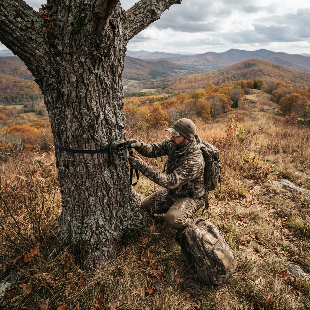
Precision Positioning: A Hunter's Guide to Digital Stand and Camera Management
Take the guesswork out of your next hunt by mastering the digital pin-drop. Learn how to use Buckeye Hunter Hub’s interactive mapping tools to organize your setups and boost your success rate.

Woodsman Wisdom: Decoding Sign to Predict Whitetail Behavior
Moving beyond basic tracks, successful hunters look for the nuanced stories written in the dirt and timber. Here is how to interpret rubs, scrapes, and bedding areas to get within bow or rifle range this season.
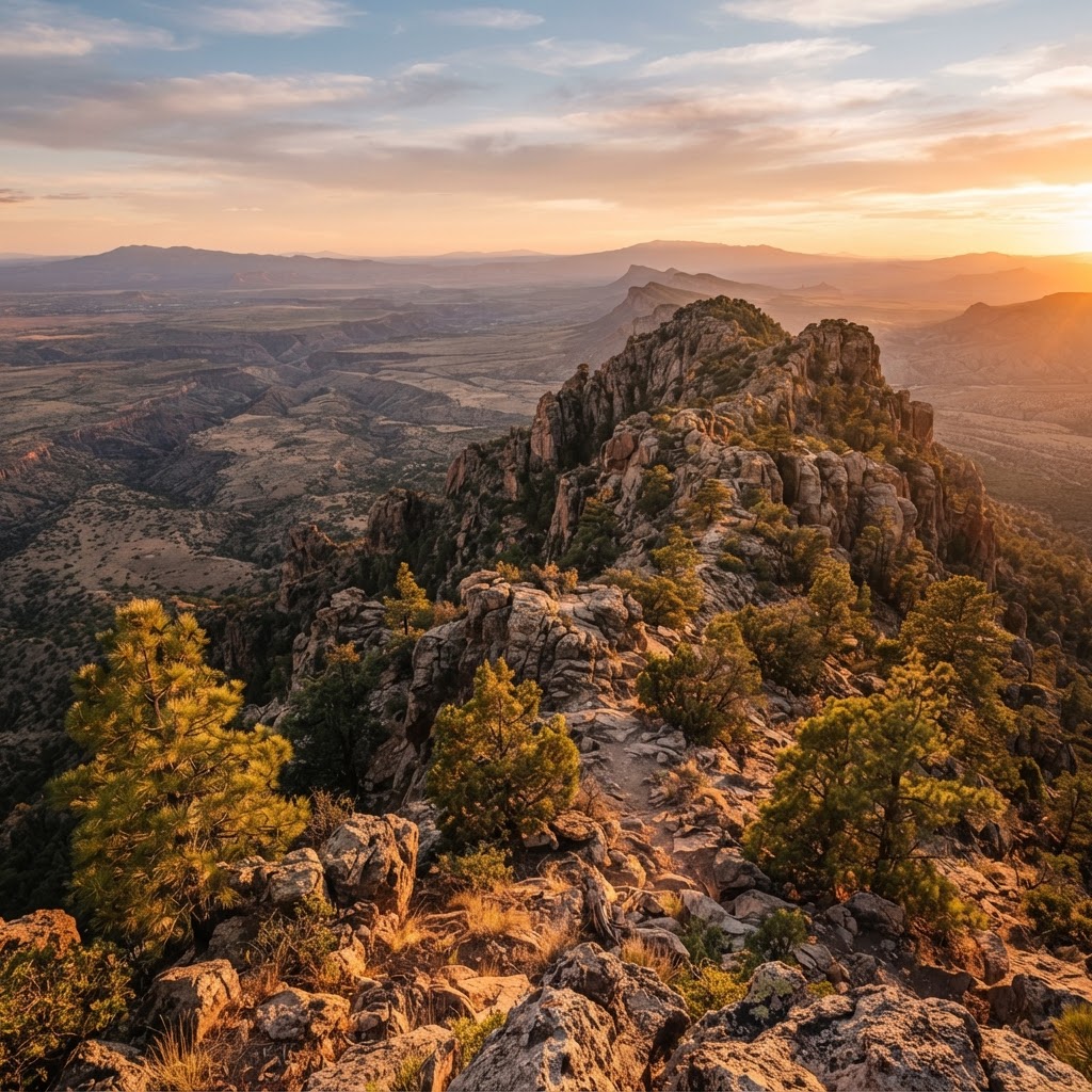
Desert Frontiers: A Comprehensive Guide to Navigating Arizona’s Public Hunting Lands
Arizona offers some of the most diverse and challenging public land hunting in the American Southwest, from high-altitude elk country to arid desert basins. Master the terrain with this breakdown of key regions and scouting essentials.
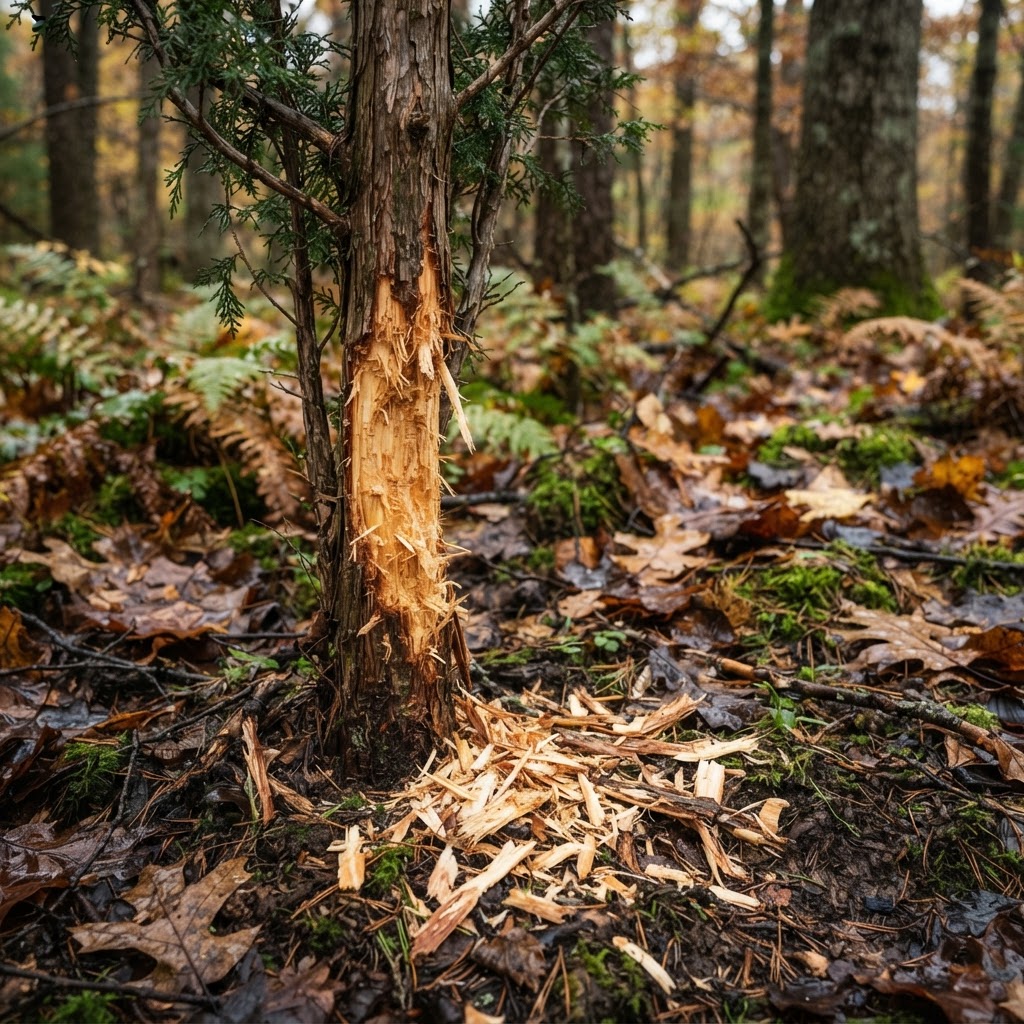
Architects of the Woods: Interpreting Whitetail Architecture for Strategic Positioning
Master the art of reading rubs, scrapes, and beds to transform your hunting strategy from guesswork into a calculated pursuit.