ON THE WATER
Mapping Your Way to Better Catches: Using Pin-Drop Technology
Stop guessing where that brush pile was and start fishing with precision by mastering custom markers on your digital map.
Buckeye Hunter Hub Magazine · Issue No. 6 · November 2026 · 2026-11-01
Elevating Your Scouting Game
Every seasoned angler has experienced the frustration of finding a perfect piece of structure—a submerged brush pile, a sharp ledge, or a hidden boat ramp—only to realize weeks later that their memory wasn't quite as reliable as they thought. In the past, we relied on triangulating off shoreline trees or burning gas searching for that one specific sonar return. Today, technology has simplified this process significantly. By utilizing the free interactive fishing map provided by Buckeye Hunter Hub, you can transition from wandering the water to fishing with surgical accuracy.
The Power of Precision Mapping
Digital cartography is no longer just for professional tournament anglers. Whether you are fishing a massive reservoir or a local pond, having a visual repository of your discoveries changes how you approach a trip. When you mark a location, you aren't just saving a coordinate; you are building a historical database of your local water. This process allows you to revisit productive spots under different seasonal conditions, ensuring that when the fish move to a specific depth, you know exactly where to intercept them.
Step-by-Step: Adding Markers to Your Map
Using the Buckeye Hunter Hub interface is designed to be intuitive, even for those who aren't tech-savvy. Once you have logged into your dashboard, follow these steps to start building your personal hotspot database:
1. Identifying the Structure
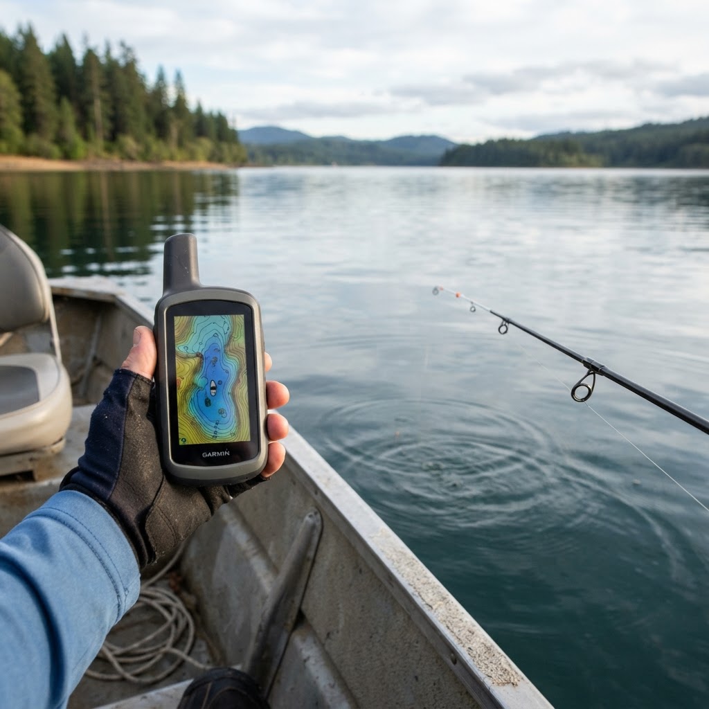
Before you hit the water, use the map layers to identify potential areas of interest, such as sharp drop-offs or points. Once you are physically on the water, confirm the structure using your boat's sonar. When you see that tell-tale cluster of wood or a significant contour change, it is time to drop your virtual pin.
2. Dropping the Pin
On the Buckeye Hunter Hub interface, locate the marker icon. By tapping or clicking your current GPS position, the map will generate a custom waypoint. It is vital to provide these markers with descriptive labels. Instead of 'Waypoint 1', use specific names like 'Summer Crappie Brush' or 'Main Lake Point Ledge.' This level of organization prevents confusion when you have dozens of markers on a single lake.
3. Categorizing Your Findings
Use different colors or icons for different types of structure. For instance, you might use a blue icon for boat ramps and access points, while using a yellow marker for submerged brush piles. This visual distinction helps you plan your route before you ever back the trailer into the water. For more information on local regulations regarding these bodies of water, check out our state fishing resources page to ensure you are fishing in legal and safe areas.
Finding Fish, Not Just Water
The real beauty of this system is its ability to help you pattern fish behavior. If you notice that you consistently catch bass on the north side of rock piles during the early morning, your digital markers will act as a roadmap for success. When you eventually share your success on our community catch wall, you will find that the ability to recreate your results is what sets consistent anglers apart from casual hobbyists.
Beyond simply finding fish, these tools allow for better conservation. By knowing exactly where sensitive habitats exist, you can minimize unnecessary anchoring and reduce your impact on the ecosystem. Many state agencies, such as the Florida Fish and Wildlife Conservation Commission, encourage anglers to be mindful of sensitive underwater environments. Having your own digital map allows you to navigate these areas responsibly.
Planning Your Next Outing
Once you have populated your map, the way you prepare for a fishing trip changes. Instead of wondering where to start, you pull up the app, look at your markers, and assess the wind and weather conditions. If the wind is blowing into the main lake point you marked last season, you know exactly where your first cast should be.
We regularly cover new techniques and mapping tips on the fishing blog, where you can find deeper insights into reading terrain and water movement. Remember, the best digital map is the one you actively maintain. Make it a habit to add a new marker every single time you find something noteworthy, even if it is just a new bait shop or an easier way to access the bank. Over time, this digital record becomes one of the most valuable pieces of equipment in your tackle box, rivaling even your best rod or reel. By taking the time to map your success today, you are ensuring that your future days on the water are spent catching, not just searching.