Sharpening Your Edge: Building a Personal Hotspot Grid on Buckeye Hunter Hub
Elevating Your Scouting Game
Every seasoned angler has a story about the 'one that got away'—or perhaps more frustratingly, the school of fish they found by accident, only to never locate again. In the vast expanse of a sprawling reservoir or a winding river system, finding a productive brush pile or a unique ledge transition is only half the battle. The true secret to consistent success lies in your ability to store, catalog, and revisit these underwater features with surgical precision. By utilizing the provided by Buckeye Hunter Hub, you can move beyond guesswork and start building a high-performance digital database of your favorite waters.
Get in the Community feed
Hunters and anglers nationwide posting bucks, catches, trail cam pics and what's working right now.


Why Digital Markers Matter
Traditional scouting often relies on memory or fragile paper notes. Digital markers allow you to see the big picture. When you mark a brush pile today, that data point becomes a permanent part of your personal angling archive. Whether you are searching for staging bass on a steep drop-off or looking for the perfect launch point that minimizes your commute, having a bird's-eye view of these locations allows you to plan your day based on wind direction, water levels, and seasonal patterns.
Step-by-Step: Marking Your Productive Zones
Using the Buckeye Hunter Hub interface is designed to be intuitive so you can spend more time wetting a line and less time troubleshooting software. Follow these steps to start populating your map:
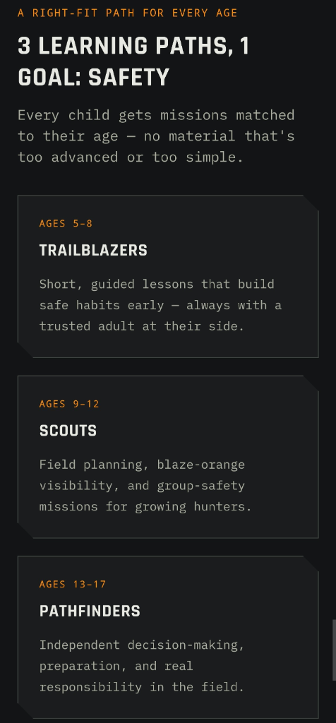
Raise a safe, confident young hunter.
Guide your kids ages 5–17 through interactive hunting safety missions, real decision drills, and earned trophies — all from one free parent account.
Bonus: every $10 you spend in the BHH shop earns a free seat (up to 5). Use them or share them.



1. Identify and Zoom
Log into your account and navigate to the map view. Use the search or zoom tools to find the specific body of water you intend to fish. If you are unfamiliar with the lake, check out our to look up bathymetric charts or depth maps if available through your regional wildlife agency, such as the U.S. Fish and Wildlife Service.
2. Placing the Pin
Once you have located a point of interest—such as a sharp break line or an submerged roadbed—select the marker tool from the toolbar. Click directly on the map coordinate. A dialogue box will appear, allowing you to name your waypoint. I recommend using descriptive naming conventions like 'Pre-spawn Crappie Brush' or 'Main Lake Point Drop-off.'
3. Categorizing for Strategy
Don't just drop pins; organize them. By assigning different labels or categories to your markers, you can toggle them on and off. If you are specifically targeting bass in the summer, you might only want to view your deep-water structure markers. This keeps your screen clean and helps you focus on the patterns that are currently working.
4. Refining with Metadata
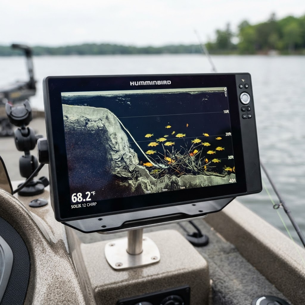
Inside the marker notes, add details about the conditions when you found the spot. Include water temperature, time of day, and the specific lure that caught the fish. This turns a simple map into a history book, helping you predict when the fish might return to that location in future seasons.
Mastering Navigation and Returns
The beauty of this system is that it turns a new body of water into familiar territory after only a few trips. By pinning public boat ramps, you can calculate the most efficient route across the water, saving fuel and time. If you notice that several of your markers align along a specific depth contour, you have effectively 'cracked the code' for that lake's topography. You can look through for more insights on how to interpret these structures, but the best teacher will always be your own saved data.
Building a Sustainable Strategy
Remember that while digital tools are powerful, they are supplements to your intuition. A marker is a starting point, not a guarantee. Use your map to determine where you should cast, but remain observant of the water surface. Are the birds diving? Is there baitfish flickering? Use these clues in tandem with your saved markers to fine-tune your approach. Over time, you will find that you spend less time idling in open water looking for fish and more time effectively targeting high-percentage areas. By consistently logging your successes—and even your 'dead' spots—you are curating a library of knowledge that is uniquely yours and incredibly valuable. Happy scouting, and may your next trip be marked by success.
Catch more these fish — free
Create a free account and unlock the full angling toolkit: