
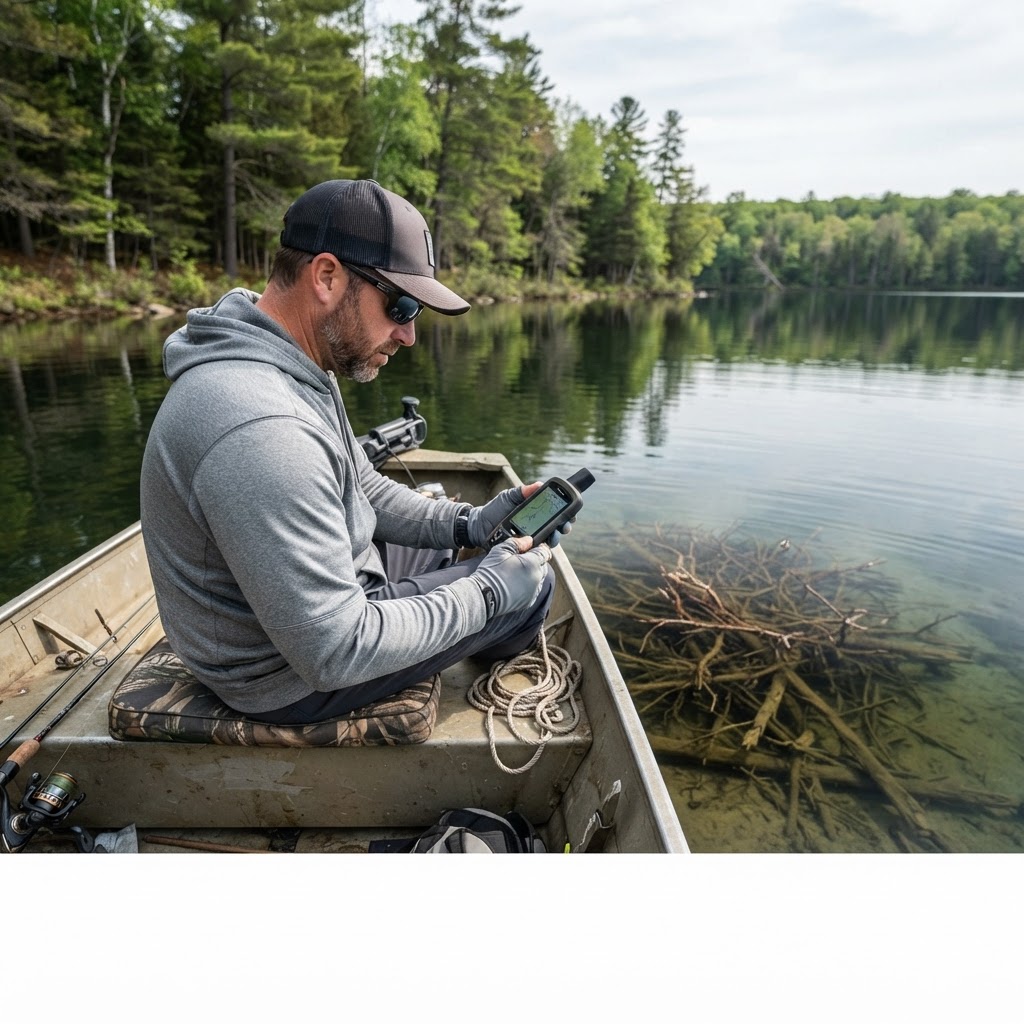
Precision Navigating: Custom Marker Tools for Your Next Fishing Trip
Elevating Your Water Reconnaissance
Every angler knows that sinking feeling of drifting over a legendary brush pile, only to realize the buoy drifted or the wind blew you ten yards off the mark. Success on the water is rarely about luck; it is about repeatability. When you find a subtle drop-off that holds schools of crappie or a hidden ramp that keeps you away from the weekend crowds, you need a way to ensure you can return to those exact coordinates with absolute confidence. That is where the marker utility on our changes the game.
Get in the Community feed
Hunters and anglers nationwide posting bucks, catches, trail cam pics and what's working right now.


Building a personal database of structure does more than just save time. It transforms your fishing experience from aimless wandering into a tactical exercise in precision. By utilizing digital markers, you move beyond guesswork, allowing you to focus your energy on presentation and lure selection rather than struggling to relocate the sweet spot.
Why Digital Markers Outperform Guesswork
Traditional scouting often involves lining up landmarks on the shoreline. While this has worked for generations, it fails when the light changes, the fog rolls in, or the water level fluctuates significantly. Digital markers provide a static, reliable reference point that stays tethered to the lake bottom regardless of surface conditions.
Whether you are hunting for submerged timber, sharp contour breaks, or obscure access points, the marker tool allows you to log specific site data that you can reference throughout the seasons. This data is essential for long-term planning, as fish often inhabit the same structural corridors year after year. For those looking to dive deeper into local regulations and season dates while planning their trips, I highly recommend checking your before you head out.
Raise a safe, confident young hunter.
Guide your kids ages 5–17 through interactive hunting safety missions, real decision drills, and earned trophies — all from one free parent account.
Bonus: every $10 you spend in the BHH shop earns a free seat (up to 5). Use them or share them.




Step-by-Step: Adding Markers to Your Map
Using the Buckeye Hunter Hub to pin your findings is designed to be intuitive, ensuring you spend less time playing with tech and more time with a rod in your hand.
- Locate Your Structure: Whether you have just located a new brush pile on your sonar or identified a promising bend in a river on the satellite view, ensure your map view is centered on the point of interest.
- Access the Marker Tool: Click the marker icon located on the map interface. This will open a sub-menu allowing you to categorize your findings. I personally prefer color-coding these—perhaps blue for boat ramps and red for submerged structure—to keep my navigation clean and efficient.
- Drop and Annotate: Once you place the marker, a dialogue box will appear. Use this to add brief notes, such as "active in 12 feet of water" or "gravel bottom." These notes act as a logbook that you can review on when planning your next outing.
- Save and Sync: Your points are now saved securely. When you return to the water, you can simply open your map on your smartphone to find your pre-determined destination waiting for you.
Optimizing Your Points for Different Seasons
Understanding how to mark a spot is one thing; knowing what to mark is another. When you are out on the water, think about the transition phases. A brush pile that is barren in the summer might be a goldmine during the pre-spawn. By keeping detailed notes on your markers, you can track which locations produce in which conditions.
If you find yourself struggling to understand how specific water temperatures affect structure use, keep an eye on official data from agencies like the U.S. Fish and Wildlife Service, which provides valuable research on habitat preferences for various species. Remember, the goal of using the is not just to find fish, but to understand the geography of your home waters.
Community Knowledge and Personal Records
Once you have successfully navigated to your marked spots and hooked a personal best, take a moment to celebrate. Many of our most dedicated users find it rewarding to share their success stories on the . While your secret brush piles should stay secret, sharing your success helps foster a community of anglers dedicated to the sport.
Mapping your success is a continuous process. As you continue to explore, you will find that your map becomes a living record of your growth as an angler. Every marker you add represents a lesson learned—a hidden ramp discovered, a new structure identified, and a day well spent on the water. Start building your digital map today, and ensure that your next fishing trip is backed by the precision of a seasoned guide.
Catch more these fish — free
Create a free account and unlock the full angling toolkit: