Digital Waypointing: Building Your Underwater Scouting Network
Translating Intuition into Data
Every angler knows the frustration of finding a perfect underwater structure—a jagged brush pile, a sharp drop-off, or a hidden boat ramp—only to lose the exact coordinates the moment the wind shifts or the sun sets. While intuition and visual landmarks have their place, modern fishing requires a higher level of precision. By leveraging the tools within the Buckeye Hunter Hub platform, you can transform your scouting time into a permanent, digital archive that saves you hours of aimless searching on your next trip.
Get in the Community feed
Hunters and anglers nationwide posting bucks, catches, trail cam pics and what's working right now.


Why Digital Accuracy Matters
The most successful anglers aren't necessarily the ones with the most expensive sonar; they are the ones who effectively manage the information they collect. Using a to document specific features allows you to categorize your findings by season, species, or bait preference. When you mark a brush pile in July, you aren't just saving a point; you are creating a historical record of where fish aggregate when the water temperatures climb. This level of organization is the difference between a day of 'fishing' and a day of 'catching.'
How to Use the Buckeye Hunter Hub Marker Feature
Getting started with marking your own spots is intuitive, but there is a methodology to doing it effectively. Follow these steps to build your own private catalog of hotspots.

Youth Hunter Academy
Raise a safe, confident young hunter.
Safety missions for ages 5–17. Free parent account.
1. Identify and Validate
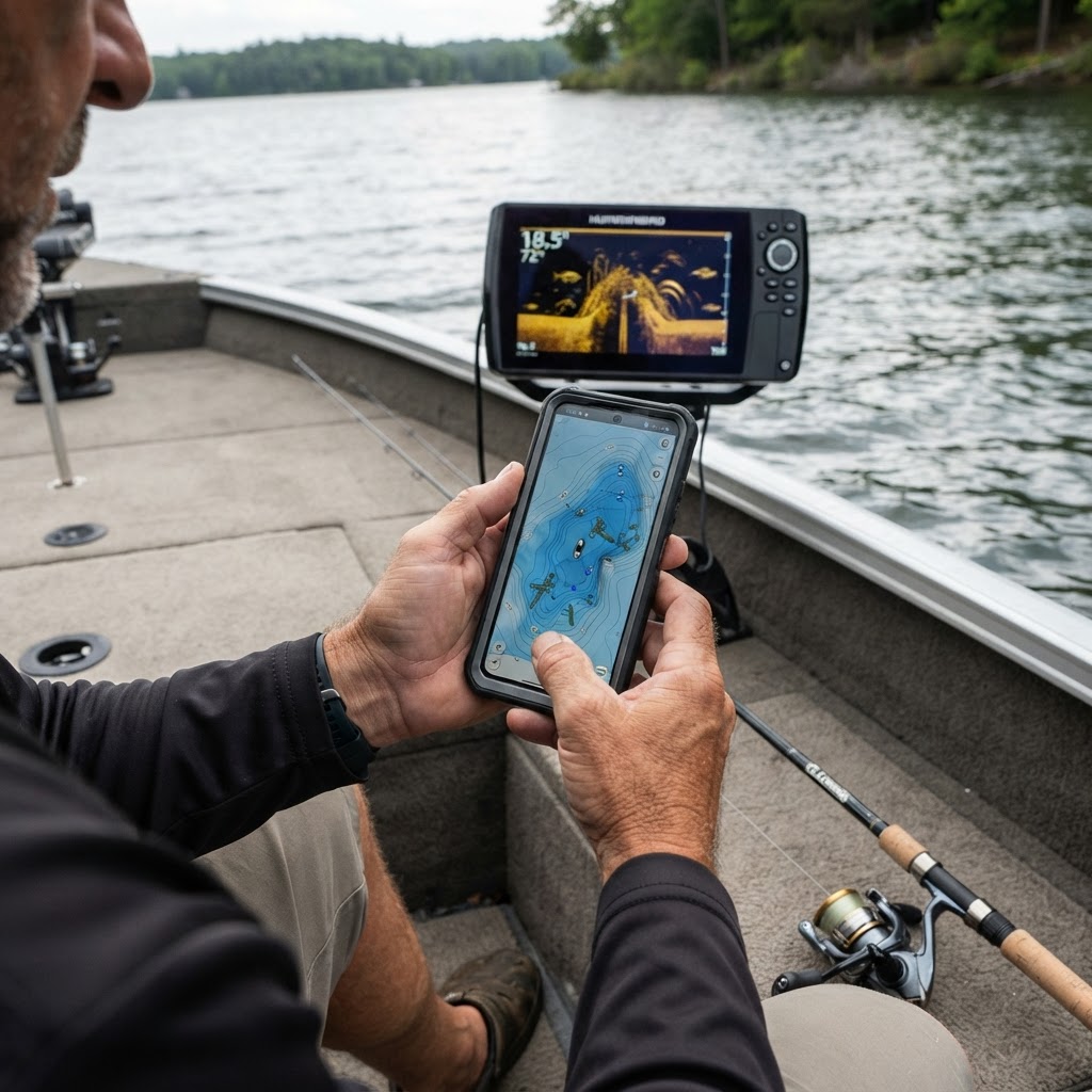
Before you drop a pin, ensure the structure you have found is worth returning to. Use your fish finder or a traditional lead weight to verify the depth and density of the brush or the steepness of a ledge. If you need help identifying regional regulations or habitat types, you can always consult for additional context on what types of structures are commonly installed by wildlife agencies.
2. Precise Pin-Dropping
Once on the Buckeye Hunter Hub platform, navigate to your desired body of water. Select the 'Add Marker' tool. Be sure to zoom in as tightly as possible; dropping a pin while zoomed out can put your marker 50 yards away from the actual target, which is the difference between a bite and a blank. Once the pin is dropped, categorize it using our specific tags—mark it as 'Structure,' 'Drop-off,' or 'Access Point.'
3. Add Contextual Notes
Don't just rely on the icon. Use the note-taking feature to record the water clarity, the time of day, and the specific lure that produced a strike during your initial discovery. If you need inspiration on how to categorize your finds, check out for articles on seasonal patterns and habitat selection. These details are your future self’s best friend when you return to that same ramp months later.
Optimizing Your Ramps and Access Points
While offshore structures get all the glory, your ability to efficiently navigate ramps is often the most overlooked part of a successful outing. Many anglers waste the 'golden hour' of early morning scrambling to find launch points they aren't familiar with. By using the Buckeye Hunter Hub to pre-mark specific ramps—including notes on trailer accessibility and launch depth—you ensure that your morning routine remains streamlined.
It is often helpful to verify public access information through official channels. Most states provide detailed ramp maps through their respective Department of Natural Resources (DNR) websites, such as the Ohio Department of Natural Resources, which provide technical specifications on ramp grades and parking capacity. Matching this official data with your personal notes on the Hub creates an unbeatable scouting advantage.
Building a Repeatable Routine
Consistency is the hallmark of a great angler. To make this digital mapping process a habit, try these three simple rules:
- The Post-Trip Sync: Dedicate ten minutes after you pull the boat out of the water to update your map. Your memory of the day’s successes is freshest immediately after the outing.
- Refine Over Time: If you return to a brush pile and find it barren, don't delete the pin. Update the note with the current water temperature and date. Over a season, this will show you when the fish move in and out of that specific area.
- Clear the Clutter: Every few months, review your map. Delete old pins that no longer hold fish or were temporary structures. A clean, relevant map is far more useful than a cluttered one.
By taking the time to catalog your underwater terrain, you stop fishing based on guesswork and start fishing based on intelligence. Whether you are chasing massive smallmouth on a steep rocky drop-off or looking for crappie suspended in a submerged willow tree, the Buckeye Hunter Hub provides the canvas for your angling success. Start building your map today and experience the difference that preparation makes when you’re on the water.
Free every morning
Your Daily Briefing
One morning forecast for the spots you actually hunt and fish: deer movement, waterfowl flights, bite times, wind and shooting light.
See what's in itSet up your briefing
Join free, save a spot on the map, then pick what you hunt and fish and when you want your email.
Catch more these fish — free
Create a free account and unlock the full angling toolkit: