Digital Ledger: Cataloging Underwater Terrain with Buckeye Hunter Hub
Mapping the Hidden World
Every seasoned angler knows that the secret to consistent fishing isn't just about having the right lure; it is about knowing exactly where the bottom contour changes or where a hidden brush pile sits under six feet of water. While many anglers rely on memory, the most successful ones use a digital system. By utilizing the provided by Buckeye Hunter Hub, you can transition from wandering the water to systematically dismantling a lake's structure. Whether you are targeting deep-water drop-offs or navigating tricky boat ramps, having a centralized database of your findings is a game-changer.
Get in the Community feed
Hunters and anglers nationwide posting bucks, catches, trail cam pics and what's working right now.


Why Digital Documentation Matters
Memory is a fickle companion on the water. A brush pile you found in June might look identical to a hundred others when you return in September. By using the marking features on our platform, you create a permanent record of your success. This practice allows you to build a 'living' map that grows with every trip. When you document a productive ledge or a rocky transition, you are essentially creating a blueprint for your future outings. This is not just about catching fish today; it is about building a historical database of what works, when it works, and exactly where it happens.
Step-by-Step: Marking Your Structure
Getting started with your own digital ledger is straightforward. Follow these steps to ensure your data is accurate and useful for years to come.
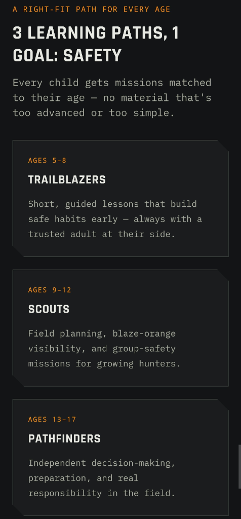
Raise a safe, confident young hunter.
Guide your kids ages 5–17 through interactive hunting safety missions, real decision drills, and earned trophies — all from one free parent account.
Bonus: every $10 you spend in the BHH shop earns a free seat (up to 5). Use them or share them.



1. Identify and Verify
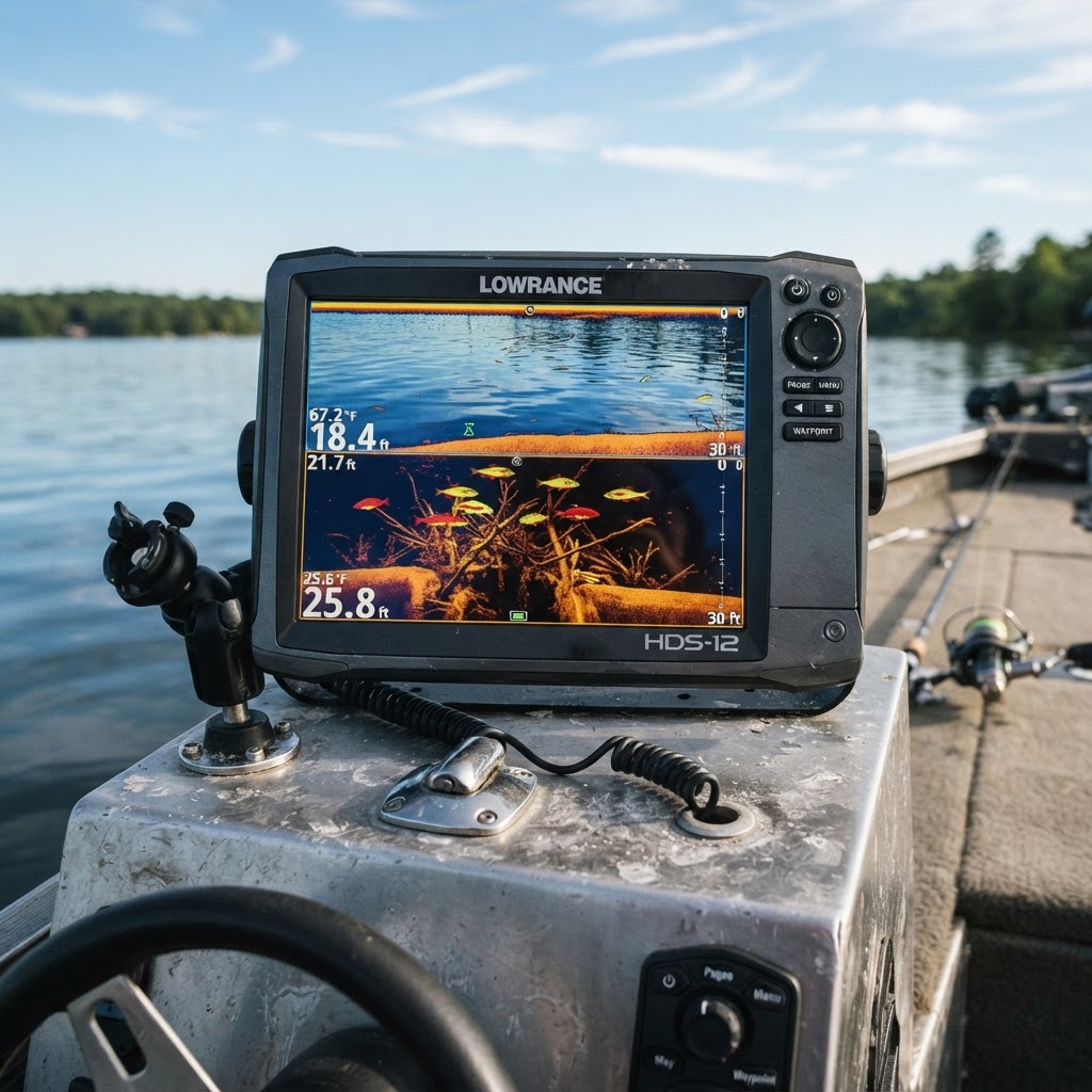
Before you hit 'save', spend a moment with your sonar. Whether you are using traditional 2D sonar or side-imaging, ensure that the structure you want to mark—like a submerged brush pile—is indeed what you think it is. Look for the 'shadow' on side-imaging that indicates depth and density. If you are scouting a new boat ramp, look for the transition where the concrete ends and the sediment begins, which is often a prime spot for staging fish.
2. Pinning the Coordinate
Once you have verified the location on the water, open your Buckeye Hunter Hub interface. Navigate to the map view and use the 'Add Marker' tool. Click or tap directly onto the location on your screen. You will want to be as precise as possible, as a few feet can often mean the difference between a limit and a dry spell. For those who want to brush up on specific regional tactics before heading out, checking can help you understand the regulations and seasonal closures for the body of water you are currently mapping.
3. Categorizing for Clarity
Don't just leave markers as generic dots. Use the labeling feature to categorize your spots. Name them clearly, such as 'North Point Brush Pile' or 'Main Lake Point Drop-off'. If you are marking a ramp, note the depth or potential hazards like submerged logs. This level of detail keeps your map clean and actionable. When you open your map in the future, you won't have to guess what that icon represents; you will have a clear, descriptive guide waiting for you.
Leveraging Your Data
Once you have populated your map with these specific waypoints, the real magic happens. You can begin to see patterns in how fish relate to the structure across different seasons. For instance, if you notice your most productive strikes are consistently happening on the northern edge of drop-offs during the fall, you can filter your map to highlight similar structure types.
We encourage our users to share their findings and experiences on , where you can learn more about seasonal adjustments and tactical shifts. Integrating your personal findings with broad-reaching seasonal trends is the hallmark of an advanced angler. It transforms your fishing from a reactive sport to a proactive one.
Responsible Navigation and Regulations
When scouting and marking, always keep safety at the forefront. Knowing the exact location of a ramp or a shallow hazard is not just about fishing—it is about vessel safety. Always cross-reference your findings with official charts from your local Fish and Wildlife agency, such as the Ohio Department of Natural Resources, to ensure you are operating within protected zones or fish sanctuaries. Mapping is a tool to improve efficiency, not a shortcut to bypass regulations.
Building Your Legacy
Every marker you place is a brick in the foundation of your angling knowledge. As you refine your digital map, you might even find yourself helping others or tracking your personal bests, which are great additions to our . By taking the time to catalog the bottom of the lake, you aren't just an observer of the water; you are a master of it. The next time you hit the lake, you will do so with a confidence born from preparation, knowing exactly what lies beneath the surface.
Catch more these fish — free
Create a free account and unlock the full angling toolkit: