
Precision Scouting: Organizing Your Season with Interactive Waypoints
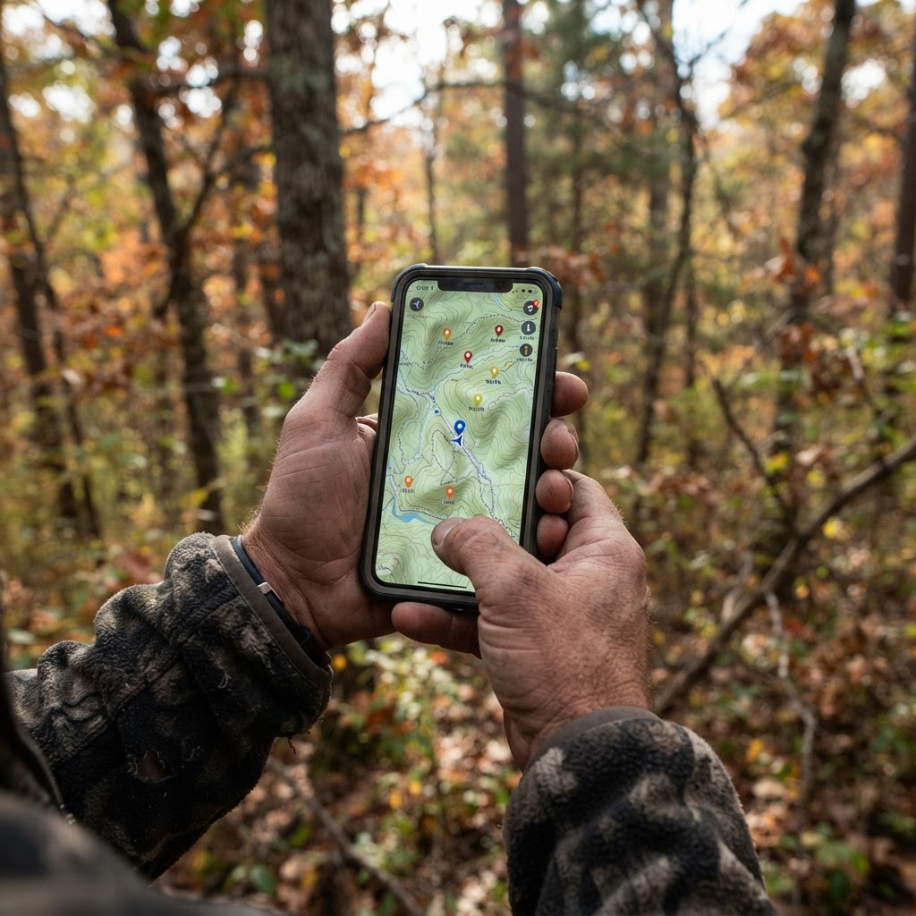
Elevating Your Scouting Workflow
Success in the field is rarely a product of pure luck. Instead, it is the cumulative result of careful observation, consistent patterns, and the ability to visualize how your hunting area functions as a cohesive ecosystem. Whether you are hunting vast public expanses or managing a private lease, having a centralized location for your data is essential. Using the available on Buckeye Hunter Hub allows you to move beyond memory and start building a digital blueprint of your hunting grounds.
Free hunting map, zones & 50-state resources
Save your spots, share zones with your group, and get deer & waterfowl movement forecasts — free.
By leveraging the waypoint system, you can effectively record the location of every stand, blind, and camera in your arsenal. This process, often referred to as 'digital scouting,' helps you identify gaps in your coverage and visualize wind direction advantages before you ever leave your truck. Let’s dive into how to use these tools to sharpen your tactical approach.
Getting Started with Waypoint Placement
The interface is designed for intuitive use, allowing you to drop pins with surgical precision. To begin, ensure you are logged into your Buckeye Hunter Hub account and navigate to the map interface.
Step 1: Pinning Your Gear
Once you have located your property or public land area on the map, select the 'Add Waypoint' tool. You will see options to categorize your pins. Use the standard markers to differentiate between types of setups. Placing a pin for a trail camera location is a great way to remember exactly where you have an SD card waiting, while marking your treestands or ground blinds allows you to name them according to your specific wind-direction strategy (e.g., 'North Wind Stand' or 'East Morning Blind').
Step 2: Adding Descriptive Notes
Simply dropping a pin is helpful, but adding descriptive metadata makes it powerful. When you click on a waypoint you have created, utilize the notes field. Here, you can document the specific tree species of your stand, the height of the platform, or the date you last serviced the batteries in your trail camera. This level of detail acts as an external brain, ensuring you don’t have to rely on fading memory when preparing for a quick afternoon hunt.
The Strategic Advantage of Mapping
Why go through the effort of digitizing your setup? Because it allows you to see the 'big picture' of deer movement. When you have all your cameras marked, you can compare their locations against known bedding areas or pinch points. If you find that deer are consistently moving through a specific corridor but you don't have a stand nearby, the map makes the solution obvious. You can then use to cross-reference the activity at those specific pins, allowing you to refine your stand locations based on actual data rather than gut feeling.
E-Tag States

Harvest Tags
E-check means you supply the tag. Printed with the exact fields your state requires.
3-pack $22.95
Furthermore, if you are hunting with a group, the ability to coordinate across shared map layers ensures everyone stays on the same page, preventing accidental bumping of spots. You can also review your marked locations against the to ensure that your chosen stand locations aren't sitting too close to high-traffic hiking trails or boundary lines.
Integrating Digital Tools into Your Seasonal Cycle
Your map should be a living document that grows as the season progresses. Start by placing your primary cameras and permanent stands in the off-season. As the pre-rut approaches, add temporary waypoints for mock scrapes or mobile stand locations based on current sign.
Raise a safe, confident young hunter.
Guide your kids ages 5–17 through interactive hunting safety missions, real decision drills, and earned trophies — all from one free parent account.
Bonus: every $10 you spend in the BHH shop earns a free seat (up to 5). Use them or share them.




If you are a multi-species hunter, you might also find value in using these tools to track other seasonal opportunities. Many of our users consult the while looking at their maps to determine which setups are eligible for early-season archery versus late-season rifle hunts. By maintaining a clean, updated map, you can pivot your entire hunting strategy in minutes when the weather changes or when a specific buck begins to show a shift in his core area.
Troubleshooting and Best Practices
Keep your map organized. It is easy to clutter a screen with too many pins, which can become overwhelming. Be sure to delete old waypoints that are no longer relevant, such as cameras you have pulled or stands you have relocated. A cluttered map often leads to poor decision-making.
Remember, technology is only as good as the information you input. When you head into the woods, take a moment to verify that your digital markers align with the terrain features. If you find that a stand is slightly off-course, update the pin immediately. This discipline will pay dividends when you need to navigate to a stand in the dark during the early morning hours, as you can trust the accuracy of your digital trail. By streamlining your workflow, you spend less time guessing where the action is and more time being in the right place at the right time.
Join 413 hunters and anglers on Buckeye Hunter Hub — free.
Latest from the Community


New drop
Fresh Buckeye Hunter Hub tees & hoodies


Everything you need to hunt smarter — free
Buckeye Hunter Hub is a free, nationwide platform. Create an account and unlock the full toolkit:
Free Interactive Hunting Map
Mark stands, cameras, and sign. Draw hunting zones with public land & county overlays across all 50 states.
Zones with Group Sharing
Share zones with your hunting group, split property into sections, assign stands, and check in — all in one place.
50 States of Hunting Resources
Season dates, license links, and DNR regulations for every state, kept current so you never miss an opener.
Deer Movement Forecast
Data-driven daily movement predictions using wind, moon, and pressure — know when to sit before you go.
Waterfowl Movement & Tools
Flight-potential forecasts, migration numbers, decoy spread planner, and a full species field guide.
From the Maker Bench

Taggart Outdoors
Padded Rifle Sling
Hand-built in the USA · $134.99
Shop the MakerNew drop
Fresh Buckeye Hunter Hub tees & hoodies
Shop This

StopBox Pro Ward | Wall-Mounted
$179.00$199.99

StopBox Pro Compact
$159.00$179.99

Buckeye Hunter Hub Tee — Two Kinds of Camo Shield
$20.55

BHH Grit Whitetail Tee
$20.55
E-Tag States
Harvest Tags
E-check means you supply the tag. Printed with the exact fields your state requires.
3-pack $22.95
More Articles
Secure Your Sidearm: The Ultimate Guide to Vehicle Carry
When you are on the road, quick access meets reliable security. Discover why the StopBox Pro Compact is the go-to solution for every hunter's vehicle.

Elevating In-Store Security: The Buckeye Hunter Hub Retail Partner Initiative
Expand your inventory with top-tier firearm storage solutions through the Buckeye Hunter Hub wholesale program, designed specifically for independent outdoor retailers.
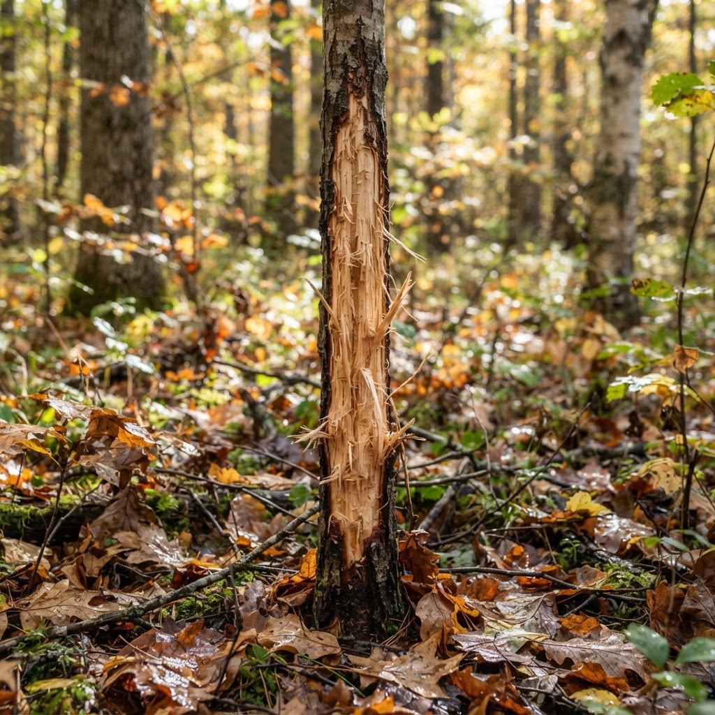
Mastering the Woods: Interpreting Deer Sign for Consistent Success
Move beyond basic scouting by learning how to decode the subtle language of rubs, scrapes, and beds to pinpoint exactly where mature bucks spend their time.
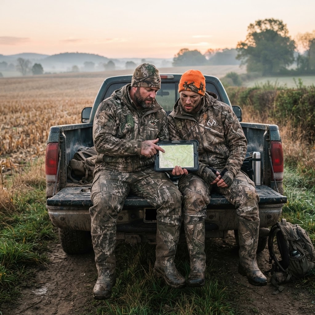
Digital Scouting: Leveraging Buckeye Hunter Hub Groups for Field Success
Transform your hunting season by tapping into the collective wisdom of a digital community; here is how to master the Buckeye Hunter Hub groups to sharpen your skills and find better ground.