
Optimizing Your Scouting: A Practical Approach to Waypoint Management
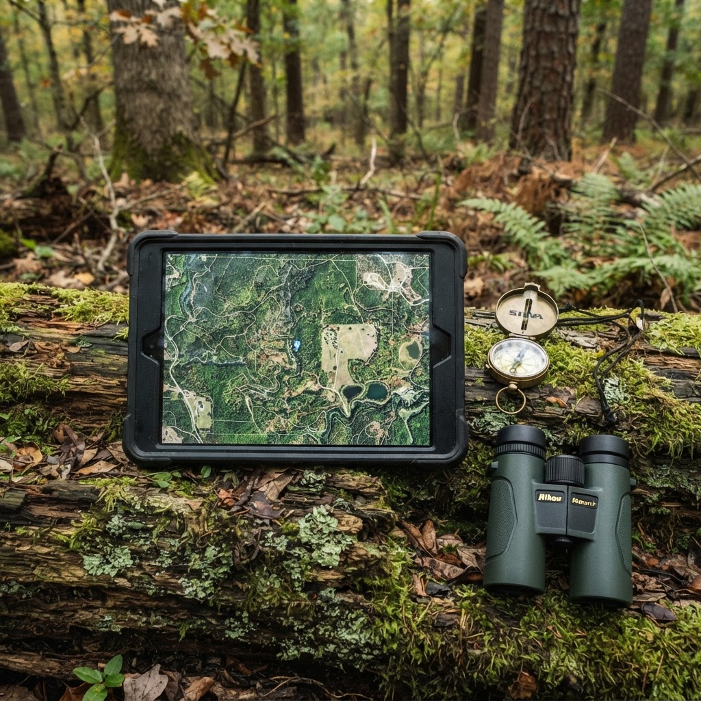
Elevating Your Scouting Strategy
Success in the whitetail woods is rarely the result of a single stroke of luck. More often than not, it is the culmination of months of observation, careful preparation, and the ability to connect the dots between scattered pieces of sign. Every buck has a pattern, and every hunter needs a system to interpret that pattern. One of the most effective ways to gain an edge is by utilizing the available on Buckeye Hunter Hub to catalog exactly where your gear is located and where the game is moving.
Free hunting map, zones & 50-state resources
Save your spots, share zones with your group, and get deer & waterfowl movement forecasts — free.
Digital scouting is no longer just for convenience—it is a necessity for hunters managing multiple properties or vast stretches of public land. When you move beyond mental notes and start logging your observations into a centralized, visual format, you begin to see the landscape as a cohesive system rather than a series of disconnected trees and trails. By marking your stands, blinds, and trail cameras, you transition from being a passive observer to an informed strategist.
Setting Up Your Digital Scouting Board
Getting started with marking waypoints on the Buckeye Hunter Hub platform is intuitive, but the true power lies in the consistency of your data entry. To begin, open your map dashboard and identify the primary layer you wish to work with. If you are preparing for the upcoming season, you likely have a list of historical spots that need to be revisited or new areas scouted during the off-season.
Step-by-Step Waypoint Placement
- Select Your Layer: Navigate to the menu and select the 'Waypoints' or 'Markers' layer. This ensures your entries are organized and can be toggled on or off to keep your map view clean.
- Identify the Location: Zoom in on your target area until you can clearly distinguish the terrain features like fencelines, creek crossings, or bedding thickets.
- Drop the Pin: Click or tap on the exact coordinate of your stand or blind. You will be prompted to select a category. Be specific—tagging a stand as 'Lock-on' versus 'Ground Blind' helps you plan your gear transport later.
- Add Descriptive Notes: This is the most crucial step. Don't just label it 'Stand A.' Include the wind direction that makes the stand huntable, the height of the platform, and any specific notes about the cover or shooting lanes. If you want to dive deeper into the behavioral patterns you’ve observed there, remember to check to see if the timing of your sightings aligns with biological trends.
- Sync Your Cameras: When deploying trail cameras, drop a waypoint immediately. If you have been utilizing , make sure to link your digital folder with the physical location on your map. This allows you to quickly see which cameras are producing activity without having to physically check them during high-pressure times of the year.
Using Visual Data to Predict Movement
Once you have your core infrastructure—stands, blinds, and cameras—mapped out, the map begins to tell a story. You will likely notice 'blind spots' where your cameras are missing potential corridors, or perhaps you will realize that all your stands are optimized for a North wind, leaving you vulnerable on Southerly fronts.
Washington · E-Tag State

Washington Harvest Tags
E-check means you supply the tag. Printed with the exact fields Washington requires.
3-pack $22.95
By layering these waypoints over topographic lines or satellite imagery, you can identify 'pinch points' where deer are being funneled by terrain. When you combine this spatial data with the current , you move from guessing to knowing. You can look at your map, see the wind, consult the forecast, and decide with confidence which stand will offer the highest probability of an encounter. This is the difference between hunting hard and hunting smart.
Maintaining Your Digital Portfolio
Scouting is a continuous process. A setup that worked perfectly in October might be dead in December. As you move through the , take the time to update your waypoints. Did you pull a camera because it was unproductive? Delete the waypoint or mark it as 'Inactive' so your map doesn't get cluttered.
Raise a safe, confident young hunter.
Guide your kids ages 5–17 through interactive hunting safety missions, real decision drills, and earned trophies — all from one free parent account.




We often see hunters neglect their data once the season starts, yet that is exactly when the information is most valuable. If you spot a fresh scrape line or a heavy trail while walking to your stand, drop a temporary waypoint immediately. You can label these as 'Field Intel' and investigate them further during the off-season. Using tools like these keeps you connected to your hunting ground even when you are miles away from the field.
For those who prefer to share their findings or discuss strategy with a core group of partners, ensure you are utilizing the features to coordinate efforts. Sharing a map of stand locations with a trusted hunting buddy can prevent you from bumping into one another and helps ensure that the entire property is being monitored effectively. Remember, the goal of this technology is not to replace time in the woods, but to make every hour you spend out there count toward your success.
Join 277 hunters and anglers on Buckeye Hunter Hub — free.
Latest from the Community


New drop
Fresh Buckeye Hunter Hub tees & hoodies


Everything you need to hunt smarter — free
Buckeye Hunter Hub is a free, nationwide platform. Create an account and unlock the full toolkit:
Free Interactive Hunting Map
Mark stands, cameras, and sign. Draw hunting zones with public land & county overlays across all 50 states.
Zones with Group Sharing
Share zones with your hunting group, split property into sections, assign stands, and check in — all in one place.
50 States of Hunting Resources
Season dates, license links, and DNR regulations for every state, kept current so you never miss an opener.
Deer Movement Forecast
Data-driven daily movement predictions using wind, moon, and pressure — know when to sit before you go.
Waterfowl Movement & Tools
Flight-potential forecasts, migration numbers, decoy spread planner, and a full species field guide.
From the Maker Bench

Taggart Outdoors
Padded Rifle Sling
Hand-built in the USA · $134.99
Shop the MakerNew drop
Fresh Buckeye Hunter Hub tees & hoodies
Shop This

StopBox Pro Ward | Wall-Mounted
$179.00$199.99

StopBox Pro Compact
$159.00$179.99

Buckeye Hunter Hub Tee — No Tag Left Behind
$20.55

Buckeye Hunter Hub Hoodie — No Tag Left Behind
$32.87
E-Tag States

Harvest Tags
E-check means you supply the tag. Printed with the exact fields your state requires.
3-pack $22.95
More Articles
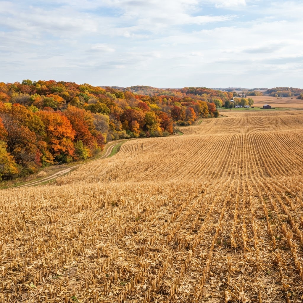
Cornfield Kingdom: Navigating Iowa’s Premier Public Land Opportunities
Iowa is more than just rolling farmland; it is a legendary destination for public land hunters willing to put in the work. Learn how to unlock the Hawkeye State’s best kept secrets.
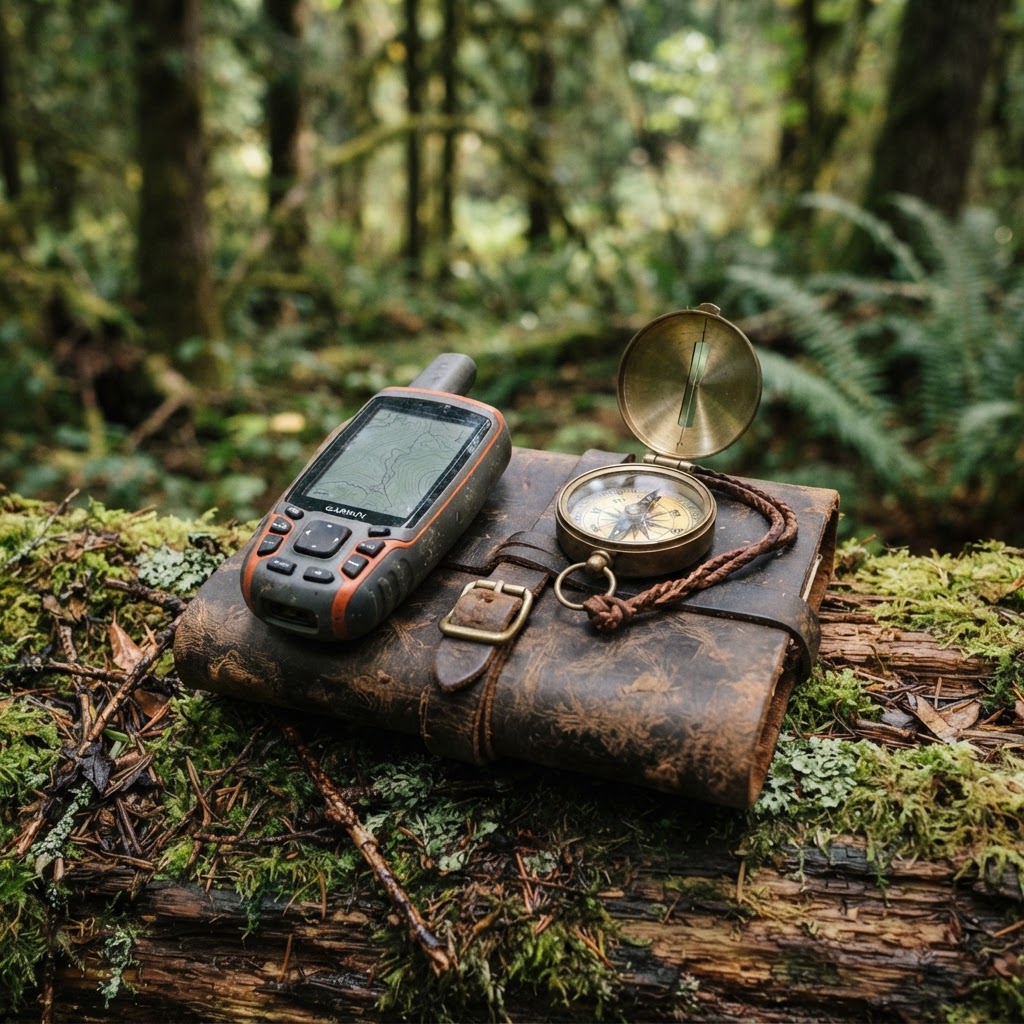
Precision Scouting: Mapping Your Setup for a More Efficient Season
Stop wandering the woods aimlessly and start hunting with purpose by mastering waypoint management for your gear and observations.
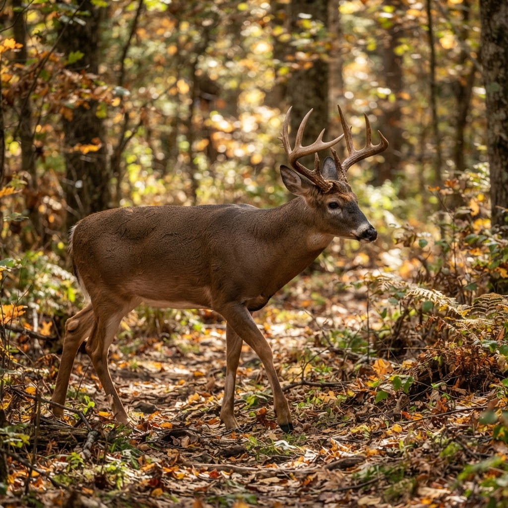
Data-Driven Scouting: Leveraging AI for Intelligent Deer Analysis
Tired of sorting through thousands of empty trail camera frames? Discover how to use automated AI analysis to pinpoint deer movement, categorize bucks, and reclaim your scouting time.
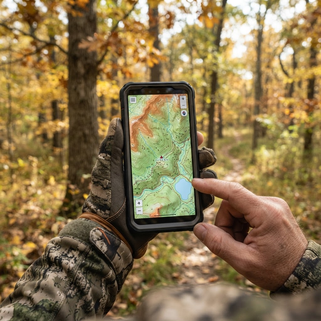
Digital Precision: Mastering Waypoint Management for Better Scouting
Take the guesswork out of your next hunt by learning to organize your stands, blinds, and trail cameras using digital mapping tools.