
Mastering the Woods: How to Map Your Hunting Hotspots with Buckeye Hunter Hub
Scouting Smarter, Not Harder
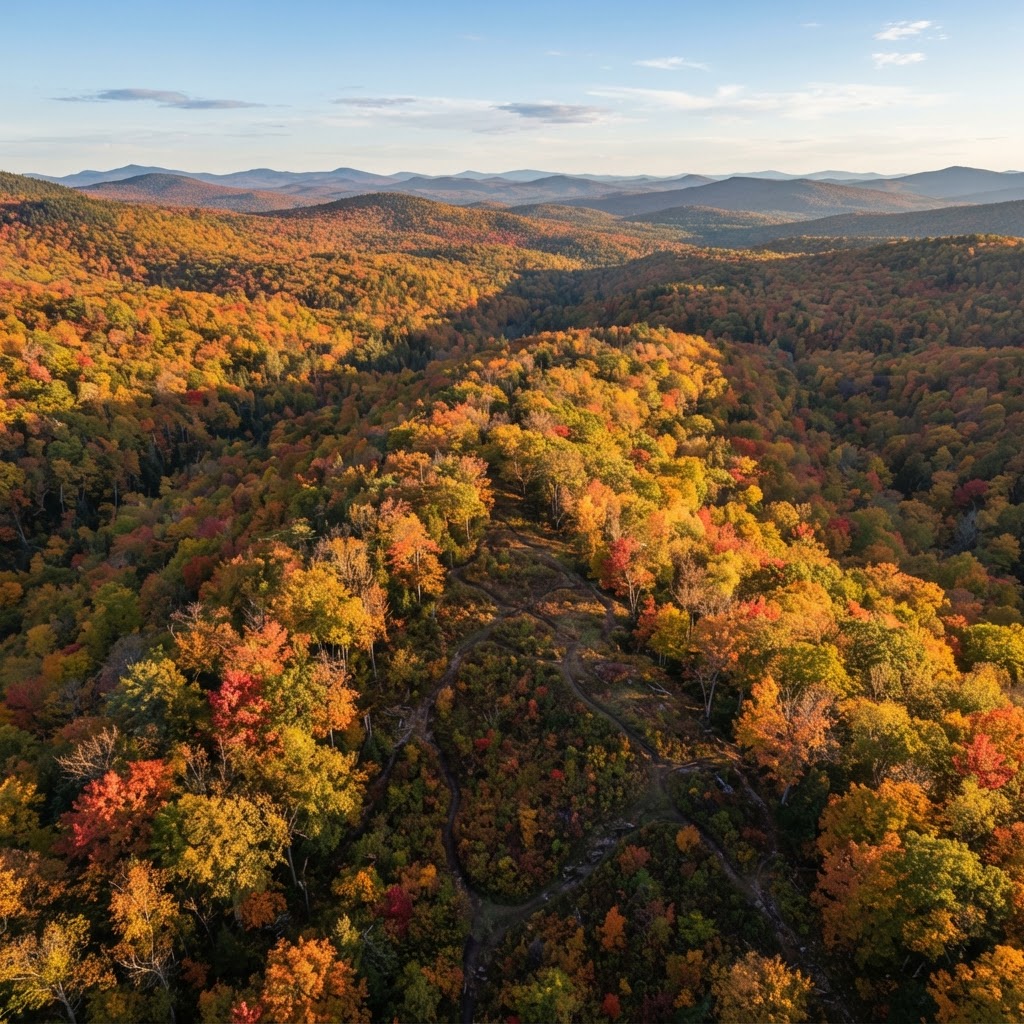
Every successful hunt begins long before the season opener. While time in the field is irreplaceable, the most effective hunters are the ones who combine physical scouting with digital planning. By visualizing your hunting property, you can identify movement corridors, bedding areas, and pinch points that are otherwise invisible from the ground. With the provided by Buckeye Hunter Hub, you have a professional-grade tool right at your fingertips to organize your strategy, track your gear, and ultimately put more game in your freezer.
Free hunting map, zones & 50-state resources
Save your spots, share zones with your group, and get deer & waterfowl movement forecasts — free.
Why Digital Waypoints Matter
In the past, hunters relied on mental maps and paper sketches to remember stand locations or the last place they saw a scrape line. Today, that method is obsolete. Marking your gear and sightings digitally allows you to view your entire hunting season at a glance. When you drop a waypoint on a trail camera location, you aren't just saving a coordinate; you are building a historical database of animal behavior on your land.
By tracking these spots, you can overlay your data with to understand why certain locations produce consistently while others remain quiet. Whether you are managing a private lease or scouting public land, having a clear digital record allows you to pivot quickly when the wind changes or when the rut shifts the deer's focus.
A Step-by-Step Guide to Marking Waypoints
Using the Buckeye Hunter Hub map interface is intuitive, designed specifically for hunters who need to make quick decisions in the field or at their desk. Follow these steps to start building your master plan:
1. Accessing Your Interactive Map
First, log into your account and navigate to the section. Once the map loads, ensure you have the correct layer selected—whether you prefer a high-resolution satellite view for identifying thickets or a topographical overlay to track elevation changes. Topography is essential for predicting how deer move across ridges and valleys.
2. Identifying Key Locations
Before you drop a single pin, look for the 'high-reward' areas. Look for saddles, creek crossings, or areas where thick timber meets open agricultural fields. These are the classic 'pinch points' that funnel deer movement. Once you identify a spot, zoom in as far as possible to get a precise look at the terrain.
3. Dropping and Labeling Waypoints
To mark a spot, select the 'Add Waypoint' tool. Click directly on the map at the desired location. A dialog box will appear, allowing you to name the point and select a specific icon. Use standard identifiers like 'Box Blind,' 'Climbing Stand,' or 'Trail Camera.'
E-Tag States

Harvest Tags
E-check means you supply the tag. Printed with the exact fields your state requires.
3-pack $22.95
*Pro Tip: Add a brief description to your waypoint. Instead of just labeling it 'Camera 1,' try 'Camera 1 - White Oak Flat - Active Scrape.' This level of detail helps you remember why you placed the camera there in the first place.
4. Categorizing Your Gear
Organizing your waypoints by category helps you visualize your strategy. If you are preparing for a morning sit, filter your view to show only your 'Stand' locations. If you are conducting a scouting trip to pull data, filter for 'Trail Camera' locations. This keeps your interface clean and prevents clutter, allowing you to focus on the terrain features that actually matter for your current goal.
Refining Your Strategy with Seasonal Data
Raise a safe, confident young hunter.
Guide your kids ages 5–17 through interactive hunting safety missions, real decision drills, and earned trophies — all from one free parent account.




Once you have your primary locations mapped, you can start integrating seasonal timing into your game plan. By consulting , you can adjust your strategy based on the specific phase of the season. For example, early-season waypoints for food sources might become obsolete by the time the late-season rut kicks in.
Many of our most successful users also cross-reference their waypoints with our . By seeing how predicted movement patterns interact with your mapped stands, you can choose the right stand for the right day. If the forecast suggests high activity in the morning, you can check your map to identify which of your logged stand locations provides the best access without spooking deer in the dark.
The Benefit of Consistency
The real power of digital mapping is the long-term data collection. If you find that a particular 'pinch point' waypoint results in sightings only during the second week of November, you have successfully reverse-engineered the local deer movement. You aren't just hunting harder; you are hunting with empirical data. Over time, you’ll find that your hunting community groups—often found via —are a great place to discuss these patterns and learn from the successes and failures of fellow hunters in your region.
Final Thoughts on Scouting
Technology is only as good as the hunter behind the screen. Digital maps aren't a replacement for woodsmanship, but they are the ultimate force multiplier. By logging your stands and cameras in the Buckeye Hunter Hub, you are creating a living map of your hunting experience. Spend the time this off-season to document your property properly. When you are sitting in that stand on a crisp November morning, you will know exactly why you are there, how the deer are likely to move, and how to make the most of the opportunity.
Join 305 hunters and anglers on Buckeye Hunter Hub — free.
Latest from the Community


New drop
Fresh Buckeye Hunter Hub tees & hoodies


Everything you need to hunt smarter — free
Buckeye Hunter Hub is a free, nationwide platform. Create an account and unlock the full toolkit:
Free Interactive Hunting Map
Mark stands, cameras, and sign. Draw hunting zones with public land & county overlays across all 50 states.
Zones with Group Sharing
Share zones with your hunting group, split property into sections, assign stands, and check in — all in one place.
50 States of Hunting Resources
Season dates, license links, and DNR regulations for every state, kept current so you never miss an opener.
Deer Movement Forecast
Data-driven daily movement predictions using wind, moon, and pressure — know when to sit before you go.
Waterfowl Movement & Tools
Flight-potential forecasts, migration numbers, decoy spread planner, and a full species field guide.
From the Maker Bench

Taggart Outdoors
Padded Rifle Sling
Hand-built in the USA · $134.99
Shop the MakerNew drop
Fresh Buckeye Hunter Hub tees & hoodies
Shop This

StopBox Pro Ward | Wall-Mounted
$179.00$199.99

StopBox Pro Compact
$159.00$179.99

Buckeye Hunter Hub Tee — No Tag Left Behind
$20.55

Buckeye Hunter Hub Hoodie — No Tag Left Behind
$32.87
E-Tag States
Harvest Tags
E-check means you supply the tag. Printed with the exact fields your state requires.
3-pack $22.95
More Articles
How to Master Natural Scent Control for Deer Hunting
Stop relying on expensive commercial scent killers. Learn a proven 3-step strategy to use natural environment materials to stay undetected by deer.
The Hunting Tradition: Why Preparation Matters
Hunting is about more than just the harvest; it’s about the traditions and preparation passed down through generations.

Why Hunting Memories Matter More Than The Harvest
Hunting is about more than just filling the freezer. Discover why the shared experiences and bonds formed in the field are what truly define a successful hunt.
Unlocking Nationwide Success: Why Serious Hunters Are Choosing Buckeye Hunter Hub
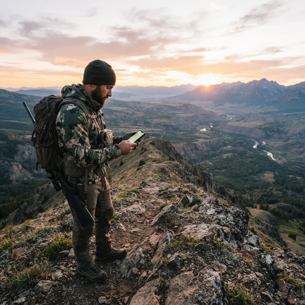
Discover how Buckeye Hunter Hub is changing the game for hunters across the country by providing a powerful, free digital ecosystem designed to streamline your planning and elevate your field success.