
Mastering Public Land: How to Scout Smarter with Nationwide Interactive Hunting Maps

The Hunt for the Perfect Spot
Every hunter knows the feeling. You spend hours pouring over grainy satellite images, cross-referencing outdated paper maps, and struggling to figure out exactly where public land boundaries begin and end. The challenge is even greater when you decide to travel across state lines. Understanding the nuances of a new state’s public lands—from Wildlife Management Areas (WMAs) in the South to National Forests in the West—can feel like a full-time job. At Buckeye Hunter Hub, we believe that access to high-quality scouting data is a right, not a luxury that should cost hundreds of dollars a year in subscription fees.
Get the waterfowl forecast for your area, free
See migration pushes, freeze-ups, and the best days to hunt ducks and geese near you.
Why Quality Mapping Matters
In the modern era, the difference between a successful hunt and a wasted weekend often comes down to data. It is not just about finding a patch of woods; it is about understanding the topography, identifying transition zones, and knowing exactly where you are legally allowed to stand. Our are designed to bridge that gap. By layering precise public land boundaries over high-resolution satellite and topographical imagery, we empower hunters to identify bottleneck funnels, bedding areas, and water sources before their boots ever touch the dirt.
Understanding County Overlays
One of the most frequently overlooked pieces of the puzzle is county-level data. Regulations, bag limits, and even season dates can fluctuate drastically once you cross a county line. Our maps include robust county overlays that provide instant context, allowing you to plan your logistics with precision. Whether you are chasing Merriam’s turkeys in the spring or late-season whitetail in the Midwest, knowing exactly which county you are in helps you stay compliant and confident in the field.
Nationwide Access, Zero Cost
Buckeye Hunter Hub was built on the principle that the hunting community thrives when knowledge is shared and accessible. Whether you are a local hunter exploring a new corner of your home state or a nomad planning a cross-country public land adventure, our resources are designed for you. While many competitors gate their best mapping data behind expensive paywalls, we believe in supporting the hunting community through free, high-utility tools.
Beyond just the maps, our platform connects you with a wealth of to ensure you are fully prepared for local regulations. We also maintain to keep you updated on dates across the country, so you never miss an opening morning.
Moving Beyond the Map
Mapping is only the first step. Once you have located a promising area, the next step is understanding the wildlife you are pursuing. To help you time your trips, we provide a based on . By integrating weather patterns, barometric pressure, and lunar cycles, we help you understand why game moves when it does. If you are a waterfowler, our tools extend to the flyways, providing a that helps you stay ahead of the migration.
Building Your Strategy
E-Tag States

Harvest Tags
E-check means you supply the tag. Printed with the exact fields your state requires.
3-pack $22.95

Youth Hunter Academy
Raise a safe, confident young hunter.
Safety missions for ages 5–17. Free parent account.
Success in the field is rarely a coincidence. It is the result of careful planning and tactical execution. If you are heading out for waterfowl, you might want to look into our or brush up on your identification skills using our . Integrating these tools into your scouting routine creates a comprehensive approach to hunting that keeps you ahead of the curve.
Join the Community
Technology is at its best when it connects people. We encourage you to explore our where you can share tips, discuss tactics, and connect with like-minded hunters in your region. The collective knowledge of our community is one of our greatest assets. If you find yourself needing specific advice for a new area, jumping into a discussion can save you days of fruitless scouting.
Your Next Adventure Starts Here
There is no substitute for time spent in the woods, but there is certainly a way to make that time more productive. By leveraging the right digital tools, you can transform your hunting season from one of frustration to one of discovery. Whether you are scouting for your very first hunt or planning your tenth annual out-of-state trip, Buckeye Hunter Hub is here to provide the foundation for your success.
Ready to get started? We invite you to create your free account today. Dive into our interactive mapping tools, customize your overlays, and start planning your next great adventure on public land. We are committed to keeping these resources free and accessible because we know that when hunters are better prepared, the entire sport benefits. Join us at Buckeye Hunter Hub and see how much more you can accomplish when you have the right map in your pocket.
Free every morning
Your Daily Briefing
One morning forecast for the spots you actually hunt and fish: deer movement, waterfowl flights, bite times, wind and shooting light.
See what's in itSet up your briefing
Join free, save a spot on the map, then pick what you hunt and fish and when you want your email.
Join 1,116 hunters and anglers on Buckeye Hunter Hub — free.
Latest from the Community


Preorder · 2 days left
Buckeye Hunter Hub Camo Trucker Hat — Treeline Logo
Includes 50% off Lifetime Pro
Everything you need to hunt smarter — free
Buckeye Hunter Hub is a free, nationwide platform. Create an account and unlock the full toolkit:
Free Interactive Hunting Map
Mark stands, cameras, and sign. Draw hunting zones with public land & county overlays across all 50 states.
Zones with Group Sharing
Share zones with your hunting group, split property into sections, assign stands, and check in — all in one place.
50 States of Hunting Resources
Season dates, license links, and DNR regulations for every state, kept current so you never miss an opener.
Deer Movement Forecast
Data-driven daily movement predictions using wind, moon, and pressure — know when to sit before you go.
Waterfowl Movement & Tools
Flight-potential forecasts, migration numbers, decoy spread planner, and a full species field guide.
From the Maker Bench

SE Ohio Outdoors
Euro Mount Hook
Hand-built in the USA · $8.00
Shop the Maker
BHH Partner
Firearms, ammo and gear from a local Ohio shop in Grafton.
dnaarmory.comE-Tag States
Harvest Tags
E-check means you supply the tag. Printed with the exact fields your state requires.
3-pack $22.95
More Articles
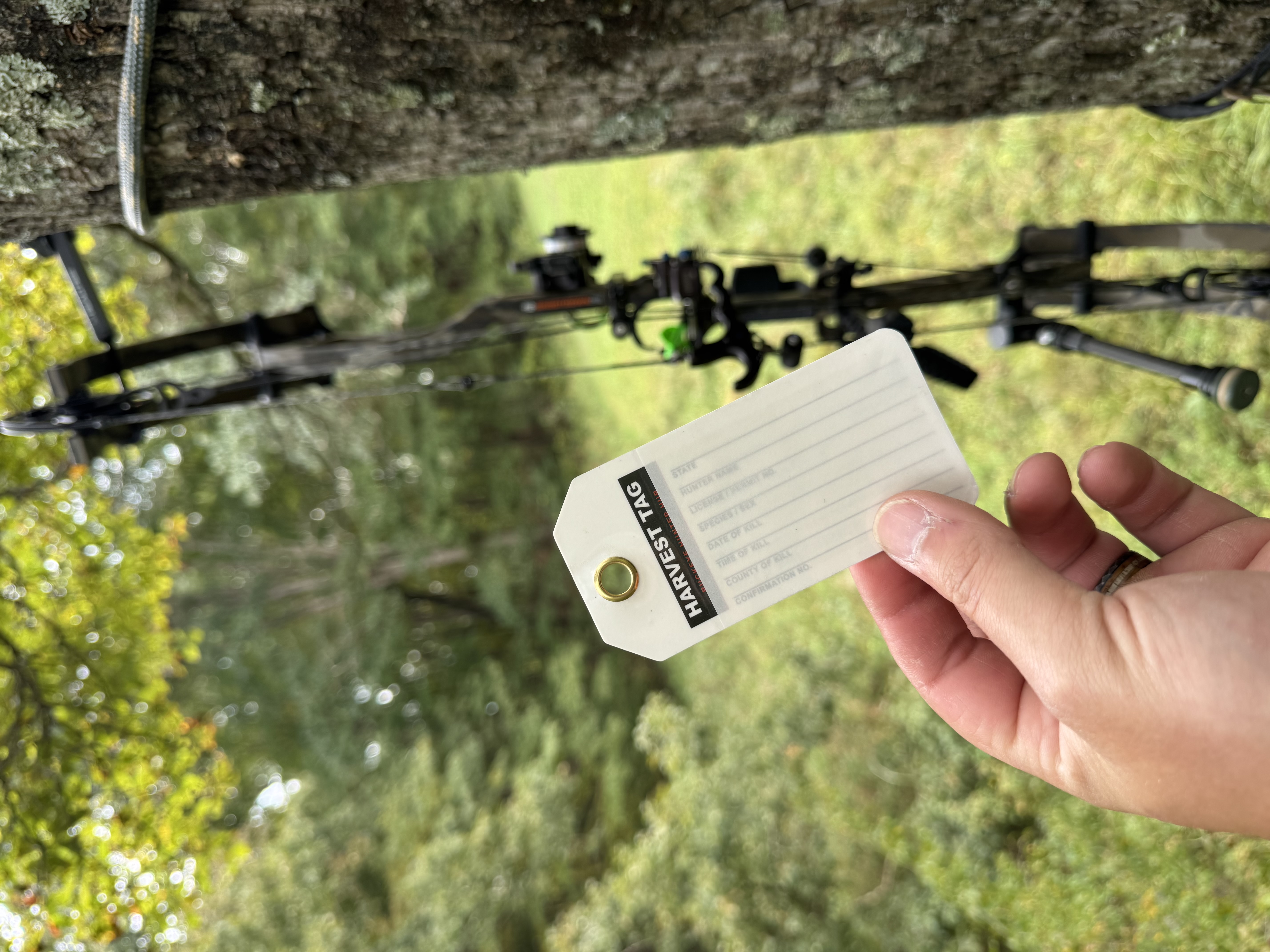
Review: Harvest Tags — Single Tag for Responsible Hunters
Is the Harvest Tag from Buckeye Hunter Hub worth the cost? We break down the durability and utility of this essential field gear.
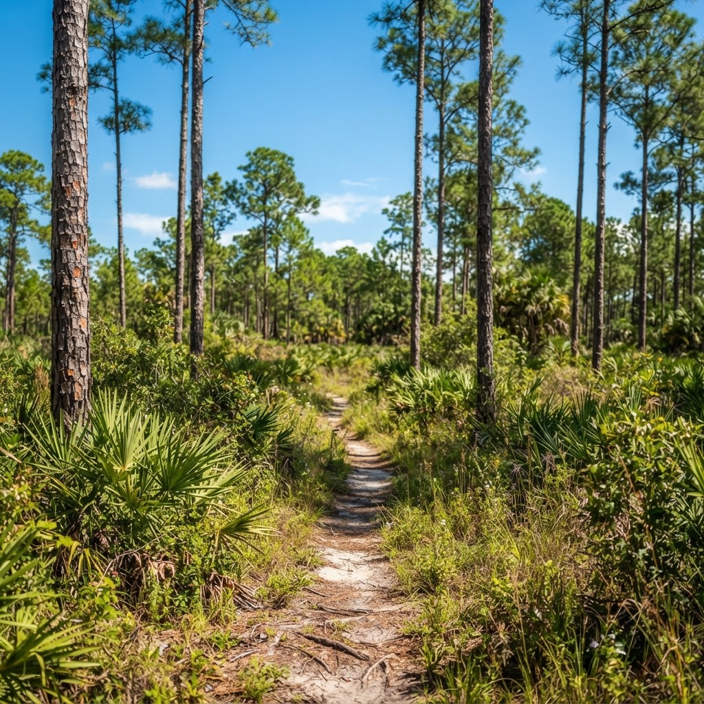
Unlocking the Sunshine State: A Guide to Florida Public Land Hunting
Florida is a hidden gem for public land hunters, offering diverse ecosystems from pine flatwoods to expansive marshes. Discover how to navigate the Sunshine State's vast WMA system for your next successful hunt.

Blend In and Stand Out: Introducing the BHH Timber Camo Collection
Upgrade your outdoor wardrobe with the new Timber Camo collection from Buckeye Hunter Hub, designed for rugged durability and versatile style.

Redefining Outdoor Style: Meet the Buckeye Hunter Hub Light Blue Camo Collection
Upgrade your outdoor wardrobe with the new Light Blue Camo collection from Buckeye Hunter Hub, designed for hunters, anglers, and everyone who loves the lifestyle.