Master Your Scouting: How to Mark Waypoints Using Buckeye Hunter Hub
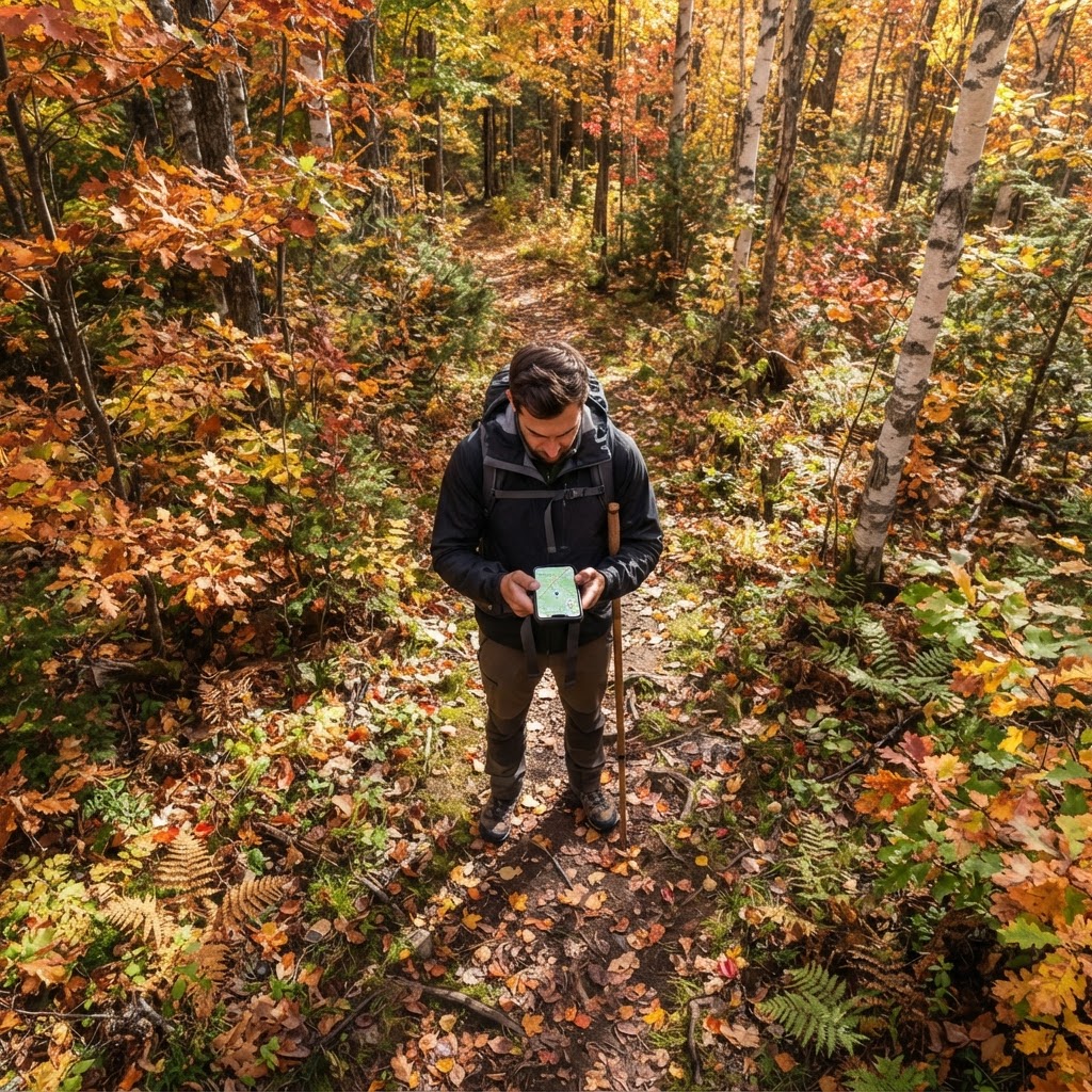
Scouting Smarter, Not Harder
Every seasoned hunter knows that the difference between filling your tag and going home empty-handed often comes down to preparation. In the modern era of whitetail and public land management, memory simply isn't enough. You need data. You need visuals. You need a way to organize your tactical plan before you ever step foot in the timber. That is where our come into play, serving as the digital command center for your entire season.
Free hunting map, zones & 50-state resources
Save your spots, share zones with your group, and get deer & waterfowl movement forecasts — free.
At Buckeye Hunter Hub, we believe that technology should empower the hunter, not complicate the hunt. By utilizing the waypoint marking feature, you transform your mobile device or desktop into a comprehensive scouting log. This guide will walk you through how to use these tools to master your hunting grounds, optimize your stand placement, and ultimately see more game.
Getting Started with Buckeye Hunter Hub
To begin, ensure you have logged into your account. The beauty of this system is that your data is synced across all your devices. Whether you are at home planning for the upcoming season or standing at the edge of a bedding area, your map data remains current.
Step-by-Step Waypoint Placement
- Open Your Map Interface: Navigate to the section. You will see a variety of layers available, including satellite imagery and topographic contours.
- Identify Your Focus Area: Use the zoom tool to focus on the specific property or public land tract you are hunting. Look for terrain features—bottlenecks, benches, or food source transitions—that look promising.
- Select the 'Add Pin' Tool: Click the waypoint icon in the sidebar. Your cursor will become a selector tool.
- Place Your Marker: Click directly on the map location where you want to drop a pin. A dialogue box will appear allowing you to name the waypoint and assign a category (e.g., "Treestand," "Ground Blind," or "Trail Camera").
- Add Tactical Notes: Don’t just mark the location. Use the notes field to describe wind direction requirements, the type of tree the stand is in, or the last time you checked the camera.
Why Precision Matters
When you mark your trail cameras as waypoints, you aren't just remembering where they are; you are building a spatial understanding of deer travel corridors. By comparing the photos from your cameras against , you can start to identify patterns. Are the bucks moving through this pinch point only after dark? Is the doe family group hitting the food plot exactly when the indicates peak activity? Mapping these locations allows you to see the "web" of your hunting area rather than just isolated dots on a screen.
Organizing for Success
Washington · E-Tag State

Washington Harvest Tags
E-check means you supply the tag. Printed with the exact fields Washington requires.
3-pack $22.95
One of the most common mistakes hunters make is cluttered maps. As you add more waypoints, keep your labels consistent. If you have multiple stands, consider a naming convention like "North Ridge_AM_Stand" or "Creek_PM_Stand." This level of organization is invaluable during the pre-dawn hours when you are deciding which setup offers the best wind coverage for the day.
If you are scouting a new piece of property, spend time reviewing alongside your map pins. Knowing the local regulations about tree stand maintenance and permanent blinds can save you from a legal headache later in the season. By integrating your digital pins with official DNR data, you create a fail-safe scouting plan.
The Holistic Approach to Scouting
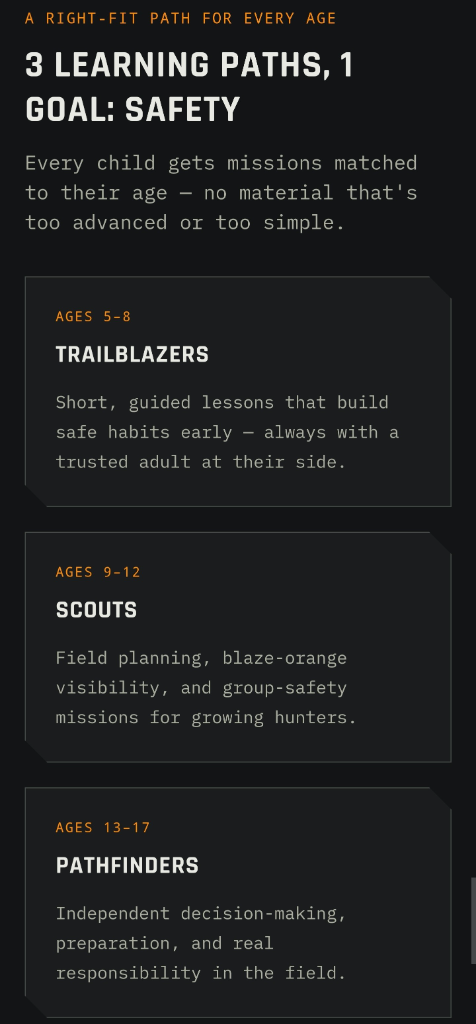
Raise a safe, confident young hunter.
Guide your kids ages 5–17 through interactive hunting safety missions, real decision drills, and earned trophies — all from one free parent account.



While technology is powerful, it is only as good as the scout behind the screen. Use your waypoint data in conjunction with physical scouting trips to verify your assumptions. If a waypoint is marked at a suspected travel route, look for rubs, scrapes, or heavy trails during the off-season. When you find the evidence, update your waypoint note. This iterative process of "Mark, Verify, Update" is what differentiates the casual hunter from the successful one.
For those who hunt multiple species, keep separate map layers or folders for waterfowl and big game. You might find that your works best in a marshy corner that you’ve marked as a specific waypoint, helping you visualize the setup relative to prevailing winds before you haul your gear into the field.
Final Thoughts
Technology is a tool, and at Buckeye Hunter Hub, we provide that tool to help you appreciate the land and the hunt more deeply. By consistently marking your stands, blinds, and cameras, you take the guesswork out of your morning departure. You become more intentional, more aware of the habitat, and ultimately more efficient in the woods.
We encourage you to visit for further tips on seasonal tactics and gear maintenance. When you prepare with precision, the woods start to reveal their secrets, and you’ll be ready when that target buck or flock finally comes into view.
Join 331 hunters and anglers on Buckeye Hunter Hub — free.
Latest from the Community
The hunt
Posted
The hunt
Jesse O · 4h ago

Trophy
2021 Spring Turkey
Richard Taggart · 8h ago

Trophy
2025 Spring Turkey
Richard Taggart · 12h ago

Trophy
2025 Buck… A Buck named King
fsufootball55 · 13h ago

Posted
Western hunting units map layer
Admin Josh · 13h ago

Posted
Rifle Slings and Leather Goods
Richard Taggart · 16h ago
New drop
Fresh Buckeye Hunter Hub tees & hoodies


Everything you need to hunt smarter — free
Buckeye Hunter Hub is a free, nationwide platform. Create an account and unlock the full toolkit:
Free Interactive Hunting Map
Mark stands, cameras, and sign. Draw hunting zones with public land & county overlays across all 50 states.
Zones with Group Sharing
Share zones with your hunting group, split property into sections, assign stands, and check in — all in one place.
50 States of Hunting Resources
Season dates, license links, and DNR regulations for every state, kept current so you never miss an opener.
Deer Movement Forecast
Data-driven daily movement predictions using wind, moon, and pressure — know when to sit before you go.
Waterfowl Movement & Tools
Flight-potential forecasts, migration numbers, decoy spread planner, and a full species field guide.
From the Maker Bench

Taggart Outdoors
Padded Rifle Sling
Hand-built in the USA · $134.99
Shop the MakerNew drop
Fresh Buckeye Hunter Hub tees & hoodies
Shop This

StopBox Pro Ward | Wall-Mounted
$179.00$199.99

StopBox Pro Compact
$159.00$179.99

Buckeye Hunter Hub Tee — Riding Shotgun
$20.55

Buckeye Hunter Hub Hoodie — Riding Shotgun
$32.87
Washington · E-Tag State
Washington Harvest Tags
E-check means you supply the tag. Printed with the exact fields Washington requires.
3-pack $22.95
More Articles
Digital Heritage: Bringing the Marsh and Field to Your Screen with Hunter-Centric Art
Upgrade your digital workspace with our new retro-style wildlife wallpapers, featuring the iconic species that define our time spent in the blind and the timber.
Best Barometric Pressure for Deer Hunting: What the Data Really Says
Move beyond the myths and understand how atmospheric pressure actually influences whitetail movement based on modern telemetry data.
Crafting Perfection: A Guide to Homemade Venison Summer Sausage
Turn your hard-earned harvest into a kitchen staple with this step-by-step guide to making professional-grade venison summer sausage at home.

Lessons From My First Ram: A Big Game Hunting Memoir
Looking back on my first ram hunt in Colorado, I share the challenges of my youth and the lessons that defined my path as a hunter.