
Master Your Scouting: How to Mark Waypoints Using Buckeye Hunter Hub

Elevating Your Scouting Strategy
Successful hunting is often defined by what you do in the off-season. While glassing fields and walking fence lines are timeless traditions, modern scouting requires a digital edge. If you are still relying on mental notes to remember where that specific oak tree stand is or where your best trail camera is hidden, you are missing out on the efficiency that comes with data-driven planning. Utilizing allows you to visualize your hunting property in ways that aren't possible from the ground, turning scattered observations into a cohesive game plan.
Free hunting map, zones & 50-state resources
Save your spots, share zones with your group, and get deer & waterfowl movement forecasts — free.
At Buckeye Hunter Hub, we believe that scouting should be intuitive and accessible. Our mapping interface is designed to help hunters organize their land, track deer travel corridors, and monitor equipment locations with ease. By marking your stands, blinds, and cameras, you create a digital footprint of your land that saves time, keeps you organized, and ultimately helps you put more game in the freezer.
Why Precision Mapping Matters
When you mark a waypoint, you are doing more than just putting a dot on a screen; you are documenting the history of your land. Over time, these waypoints tell a story. You might notice that a particular trail camera consistently captures mature bucks during a specific phase of the rut, or that a blind near a creek crossing is your most productive spot during the early season. When you view these markers layered over satellite imagery, patterns emerge that are invisible from the forest floor.
Furthermore, having an organized map allows you to plan your hunts based on wind direction. By knowing exactly where your stands are located, you can instantly see which setups offer the best concealment for the current wind, preventing you from bumping deer by choosing the wrong location. Integrating this with our gives you a tactical advantage, helping you decide not just where to hunt, but when those specific spots will be most active.
How to Drop Waypoints on Buckeye Hunter Hub
Getting started with our mapping tool is simple. Whether you are prepping for archery season or scouting public land, the process remains the same:
1. Accessing Your Map
Navigate to our dashboard. Once there, ensure you are logged in to save your progress. The map provides high-resolution satellite imagery that is perfect for identifying terrain features like benches, saddles, and pinch points.
E-Tag States

Harvest Tags
E-check means you supply the tag. Printed with the exact fields your state requires.
3-pack $22.95
2. Selecting Your Waypoint Type
Once you have located the area of interest, click on the 'Add Waypoint' icon. You will be prompted to choose a category. We have customized icons for:
- Tree Stands: Mark your climbing stands or hang-on locations.
- Ground Blinds: Keep track of pop-up blinds and natural cover setups.
- Trail Cameras: Crucial for monitoring which units need fresh batteries or SD card swaps.
3. Precision Placement
Drag the pin exactly over the location. Don’t worry if you are off by a few feet; you can always edit the location later as you gather more accurate GPS data in the field. Adding a note to the waypoint is a great habit—for instance, labeling a camera as 'North Ridge - Battery Low' can save you a wasted trip into the woods later.
4. Saving and Syncing
Click save to lock the waypoint to your account. Your map will automatically sync across devices, so you can scout on your desktop at home and pull up your locations on your mobile device when you are at the trailhead.
Raise a safe, confident young hunter.
Guide your kids ages 5–17 through interactive hunting safety missions, real decision drills, and earned trophies — all from one free parent account.




Scouting Smarter, Not Harder
Effective scouting is about minimizing your impact. Every time you walk through your hunting grounds, you leave scent and pressure. By using digital waypoints, you can plan the most efficient route to check your cameras or access your stands. You can map out a path that keeps you off the primary trails and out of the bedding areas, ensuring that the deer remain undisturbed until you are ready to hunt.
If you are hunting in areas where plays a heavy factor, such as heavy timber or rolling agricultural land, these waypoints allow you to visualize how those movements intersect with your stands. You can draw lines between waypoints to see potential travel corridors, helping you predict movement before it happens.
Managing Your Season
Beyond just marking locations, use your map as a hub for the entire season. By keeping your information centralized, you avoid the confusion of keeping track of multiple spreadsheets or handwritten journals. As the season progresses and you consult , your map becomes your primary reference for which stands to favor during specific dates. If you’re ever stuck or looking for new ground, you can always check out to expand your options or connect with others in our to share tips on how they manage their own waypoint data.
Ultimately, a waypoint is only as good as the hunter behind it. By committing to marking your spots and keeping your data updated, you remove the guesswork from your hunt. Take the time this weekend to open the Buckeye Hunter Hub map, drop your pins, and get ready for a more successful and organized season in the field.
Join 337 hunters and anglers on Buckeye Hunter Hub — free.
Latest from the Community
The hunt
Posted
The hunt
Jesse O · 10h ago

Trophy
2021 Spring Turkey
Richard Taggart · 14h ago

Trophy
2025 Spring Turkey
Richard Taggart · 18h ago

Trophy
2025 Buck… A Buck named King
fsufootball55 · 18h ago

Posted
Western hunting units map layer
Admin Josh · 19h ago

Posted
Rifle Slings and Leather Goods
Richard Taggart · 22h ago
New drop
Fresh Buckeye Hunter Hub tees & hoodies


Everything you need to hunt smarter — free
Buckeye Hunter Hub is a free, nationwide platform. Create an account and unlock the full toolkit:
Free Interactive Hunting Map
Mark stands, cameras, and sign. Draw hunting zones with public land & county overlays across all 50 states.
Zones with Group Sharing
Share zones with your hunting group, split property into sections, assign stands, and check in — all in one place.
50 States of Hunting Resources
Season dates, license links, and DNR regulations for every state, kept current so you never miss an opener.
Deer Movement Forecast
Data-driven daily movement predictions using wind, moon, and pressure — know when to sit before you go.
Waterfowl Movement & Tools
Flight-potential forecasts, migration numbers, decoy spread planner, and a full species field guide.
From the Maker Bench

Taggart Outdoors
Padded Rifle Sling
Hand-built in the USA · $134.99
Shop the MakerNew drop
Fresh Buckeye Hunter Hub tees & hoodies
Shop This

StopBox Pro Ward | Wall-Mounted
$179.00$199.99

StopBox Pro Compact
$159.00$179.99

Buckeye Hunter Hub Tee — Riding Shotgun
$20.55

Buckeye Hunter Hub Hoodie — Riding Shotgun
$32.87
E-Tag States
Harvest Tags
E-check means you supply the tag. Printed with the exact fields your state requires.
3-pack $22.95
More Articles
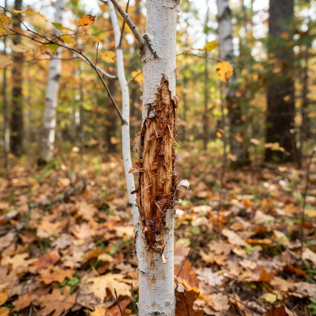
Deciphering the Daily Life of Whitetails: A Practical Guide to Reading Deer Sign
Success in the deer woods isn't just about showing up; it’s about reading the history left behind in the dirt and timber. Learn how to interpret rubs, scrapes, and bedding areas to turn your scouting into a filled tag.
Digital Heritage: Bringing the Marsh and Field to Your Screen with Hunter-Centric Art
Upgrade your digital workspace with our new retro-style wildlife wallpapers, featuring the iconic species that define our time spent in the blind and the timber.
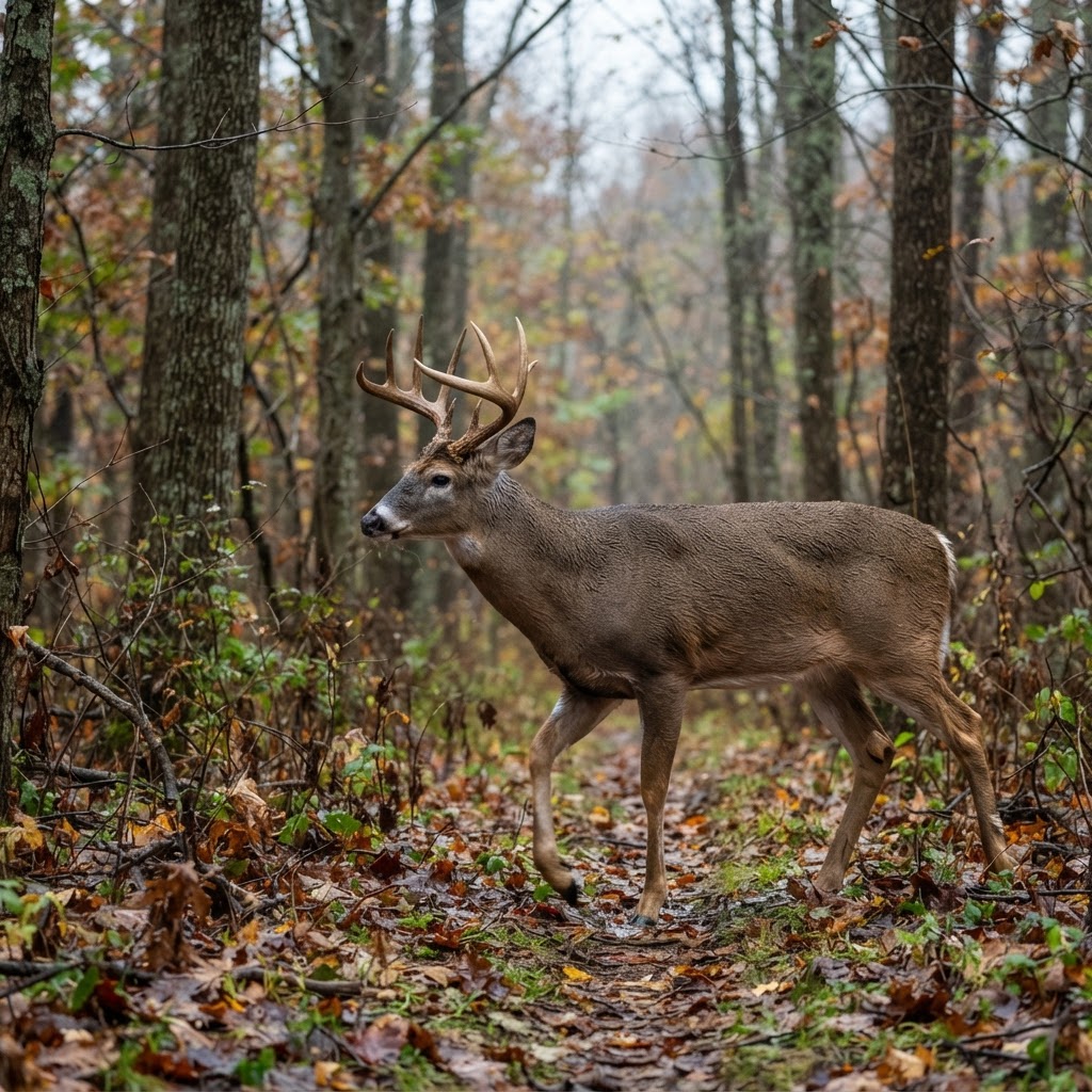
Best Barometric Pressure for Deer Hunting: What the Data Really Says
Move beyond the myths and understand how atmospheric pressure actually influences whitetail movement based on modern telemetry data.
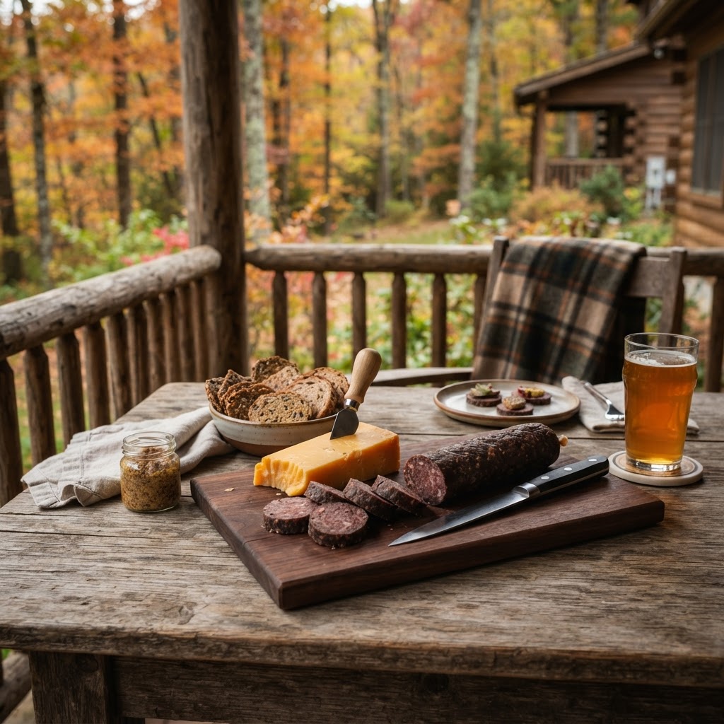
Crafting Perfection: A Guide to Homemade Venison Summer Sausage
Turn your hard-earned harvest into a kitchen staple with this step-by-step guide to making professional-grade venison summer sausage at home.