
Mapping Your Success: A Tactical Approach to Digital Scouting with Buckeye Hunter Hub
Precision Scouting: The Key to Consistent Success
Every hunter knows the feeling of walking into the woods in the dark, hoping to find that specific tree or trail camera location by memory alone. In the heat of the season, when adrenaline is high and visibility is low, relying on mental maps is a recipe for missed opportunities and unnecessary noise. Successful hunters treat their scouting like a professional logistical operation. By utilizing the available within the Buckeye Hunter Hub, you can turn a scattered collection of memories into a precise, actionable strategy that saves you time and keeps you in the game.
Free hunting map, zones & 50-state resources
Save your spots, share zones with your group, and get deer & waterfowl movement forecasts — free.
Digital scouting isn’t just about looking at a satellite image; it’s about documenting the data you collect on the ground. Whether you are prepping a bow stand, setting up a ground blind, or checking a string of trail cameras, knowing exactly where these assets sit in relation to terrain features and wind direction is the difference between a successful hunt and a wasted morning.
Understanding the Buckeye Hunter Hub Mapping Tools
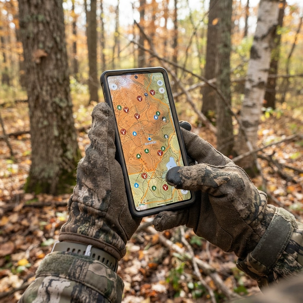
The waypoint system within the Buckeye Hunter Hub isn't just a basic 'drop a pin' tool. It is designed to act as your field-tested archive. By categorizing your locations—whether it's a primary scrape, a bedding area, or a specific trail camera—you create a digital footprint of the land you hunt. This allows you to visualize how deer traverse your property across the entire , ensuring you aren't over-pressuring specific zones at the wrong time.
Step-by-Step: Adding and Managing Your Waypoints
Setting up your map is straightforward, but consistency is key. Follow these steps to maximize your digital scouting potential:
1. Identify and Categorize
Before you start dropping pins, identify the 'why' behind the location. Is this a morning ambush stand or an evening travel corridor camera? When you mark the point in the app, use the specific category labels provided. This creates a filterable database of your setup, which is far more useful than a map cluttered with unlabeled dots.
2. Precise Placement
Don't just drop a pin in the general area. Zoom in as far as possible on the satellite imagery. If you are marking a tree stand, place the waypoint precisely where the trunk is located. If you are marking a blind, consider the field of view you intend to cover. If you have been utilizing to identify travel patterns, ensure that your camera waypoints are placed exactly where the units are deployed so you can compare their locations against movement trends later.
3. Adding Notes and Details
Use the note-taking feature within the waypoint. Don't just label it 'Stand 1.' Include details like the wind direction that makes the stand huntable, the height of the stand, or the type of vegetation surrounding it. If you’ve discovered a unique terrain funnel nearby, note that as well. This information becomes invaluable when you are sitting in the house during a rainstorm planning your next outing based on the wind forecast.
E-Tag States

Harvest Tags
E-check means you supply the tag. Printed with the exact fields your state requires.
3-pack $22.95
Leveraging Data for Strategic Scouting
Once you have your property mapped out, the real magic happens: pattern recognition. By layering your waypoints over different map views—such as topographic or satellite—you might notice that your trail cameras are all clustered in one zone while your stands are spread too thin. This is where digital scouting turns into an advantage.
If you find that your cameras are capturing high-quality movement in a location where you have no stand, you can quickly assess whether the terrain allows for a safe, low-impact entry and exit before you ever leave the house. Furthermore, if you are working with a group of friends, you can coordinate your efforts more effectively through our . Sharing information about which stands are producing can help everyone in your camp focus their energy on the most active areas, preventing the 'bump-and-run' effect of moving through too many spots.
Raise a safe, confident young hunter.
Guide your kids ages 5–17 through interactive hunting safety missions, real decision drills, and earned trophies — all from one free parent account.
Bonus: every $10 you spend in the BHH shop earns a free seat (up to 5). Use them or share them.




Putting It Into Practice
Effective scouting is an ongoing process that doesn't stop once the season begins. As the foliage drops and deer shift their food sources, you may find that your early-season waypoints no longer match the current movement. Regularly updating your map to reflect these seasonal shifts keeps your strategy relevant. If you want to see how your mapped areas align with broader trends, you can always check in on the to ensure your stand locations still make sense relative to the behavior patterns of the local herd.
Ultimately, the goal of using these tools is to spend more time hunting and less time guessing. By maintaining a clean, accurate, and detailed map of your hunting area, you are building a legacy of data that will serve you well for many seasons to come. Take the time to get your waypoints organized today, and you’ll find that when the time comes to pull the trigger, you’ll be hunting with more confidence than ever.
Join 462 hunters and anglers on Buckeye Hunter Hub — free.
Latest from the Community


New drop
Fresh Buckeye Hunter Hub tees & hoodies


Everything you need to hunt smarter — free
Buckeye Hunter Hub is a free, nationwide platform. Create an account and unlock the full toolkit:
Free Interactive Hunting Map
Mark stands, cameras, and sign. Draw hunting zones with public land & county overlays across all 50 states.
Zones with Group Sharing
Share zones with your hunting group, split property into sections, assign stands, and check in — all in one place.
50 States of Hunting Resources
Season dates, license links, and DNR regulations for every state, kept current so you never miss an opener.
Deer Movement Forecast
Data-driven daily movement predictions using wind, moon, and pressure — know when to sit before you go.
Waterfowl Movement & Tools
Flight-potential forecasts, migration numbers, decoy spread planner, and a full species field guide.
From the Maker Bench

SE Ohio Outdoors
Headrest Bow Hanger
Hand-built in the USA · $12.00
Shop the MakerNew drop
Fresh Buckeye Hunter Hub tees & hoodies
Shop This

StopBox Pro Ward | Wall-Mounted
$179.00$199.99

StopBox Pro Compact
$159.00$179.99

BHH Grit Whitetail Tee
$20.55

Buckeye Hunter Hub Hoodie — Woodie
$32.87
Washington · E-Tag State

Washington Harvest Tags
E-check means you supply the tag. Printed with the exact fields Washington requires.
3-pack $22.95
More Articles
Crafting Solutions: Meet Jeff Cote of SE Ohio Outdoors
Meet the man behind SE Ohio Outdoors, where practical ingenuity meets the archery gear you need for a better hunt.

Review: StopBox Motion Activated Light – Essential Upgrade
Is the StopBox Motion Activated Light a necessary addition to your home defense setup? We test the performance, build, and real-world value for hunters.
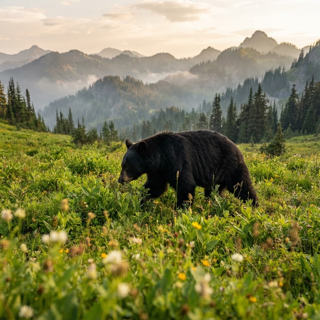
Shadows of the Forest: A Comprehensive Guide to Pursuing North American Black Bears
Black bear hunting is a test of patience, discipline, and understanding of animal behavior. From glassing expansive mountain basins to mastering the art of the stalk, here is how you can successfully hunt this iconic predator.

Crafting Connection: Meet Jeff Cote of SE Ohio Outdoors
Get to know the craftsman behind SE Ohio Outdoors and see how his dedication to functional, handmade gear is changing the way we climb.