
Mapping Your Success: A Hunter's Workflow for Strategic Waypoint Placement
Building a Digital Blueprint
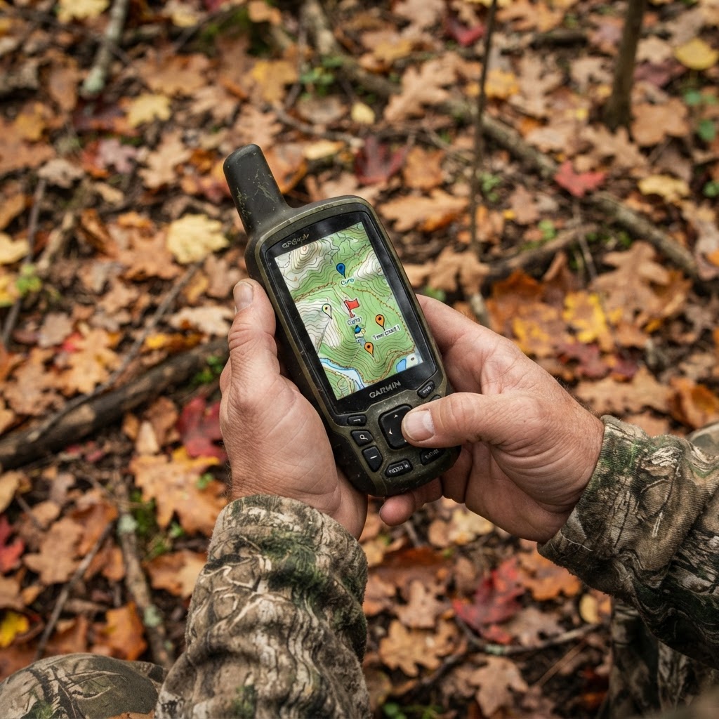
Success in the field is rarely a result of luck. It is the culmination of hours spent observing, analyzing, and preparing. One of the most effective ways to sharpen your preparation is by utilizing to create a visual repository of your property's key features. By systematically marking waypoints for your stands, blinds, and trail cameras, you transition from simple observation to strategic management, allowing you to visualize the movement of game in relation to your setup.
Free hunting map, zones & 50-state resources
Save your spots, share zones with your group, and get deer & waterfowl movement forecasts — free.
Why Precision Mapping Matters
When you hunt a property, you likely have an intuitive sense of where the deer walk or where the ducks drop into the water. However, memory is fallible. As the season progresses and conditions change, it becomes difficult to recall exactly where a specific camera was set or which tree offered the best wind advantage during a previous hunt. Digital mapping solves this by providing a permanent, adjustable record.
By layering your historical data—such as past harvests or high-activity camera zones—onto your current setup, you can identify patterns you might have otherwise missed. For instance, if you notice your consistently shows buck movement between two specific thickets, you can place your stand exactly where it intercepts that corridor. This is the difference between hoping for a shot and engineering one.
Step-by-Step: Adding Waypoints in Buckeye Hunter Hub
Getting your data organized is a straightforward process. Follow these steps to ensure your digital map reflects the reality of your woods:


1. Identify Your Anchor Points
Before you start dropping pins, identify the non-negotiables. These are your permanent stand locations, established ground blinds, and permanent feeding areas or water sources. Place these first to build the skeleton of your map.
2. Creating the Pin
Access your account on the Buckeye Hunter Hub platform and open the mapping interface. Use the 'Add Waypoint' tool to drop a marker exactly where your equipment resides. Be specific with your naming conventions; don’t just name a point 'Stand.' Use descriptive tags like 'Oak Ridge-South Wind' or 'North Pond-Mallard Blind.' This level of detail is vital when you are reviewing your mid-season.
3. Categorizing for Clarity
Use the folder or category features to separate your equipment types. Keeping your trail cameras in a separate visual layer from your hunting stands prevents the map from becoming cluttered. This allows you to toggle views on or off, making it easier to analyze, for example, how your cameras are positioned to monitor a food plot versus how your stands are positioned to hunt the perimeter of that same plot.
E-Tag States

Harvest Tags
E-check means you supply the tag. Printed with the exact fields your state requires.
3-pack $22.95
4. Continuous Updating
Mapping is not a 'set it and forget it' task. Every time you move a trail camera to follow , you should update the coordinate on your map. If you notice a stand is no longer providing the visibility you need due to overgrowth, mark that location with a note to perform maintenance or relocation during the off-season.
Leveraging Data to Find More Game
Once you have populated your map with accurate waypoints, the true power of this system begins to show. You can overlay your findings with topographical data to identify pinch points, saddles, or benches that act as natural travel corridors. When you combine this spatial data with the insights you gain from the , you create a comprehensive strategy that is far more effective than scattered attempts.
Raise a safe, confident young hunter.
Guide your kids ages 5–17 through interactive hunting safety missions, real decision drills, and earned trophies — all from one free parent account.




Consider how this applies to public land hunting. When scouting new, unfamiliar territory, you can mark potential entry and exit points, water holes, and transition zones. This acts as a roadmap for your scouting missions, ensuring you cover ground efficiently without spooking the very game you are trying to locate.
Staying Organized for the Long Haul
At the end of the day, hunting is about the time we spend in nature, but we also want to be effective stewards and successful hunters. By using digital tools to map your gear, you aren't just saving time—you are building a history of your property. Years from now, you will be able to look back at these maps and see the evolution of your hunting strategy, the patterns of the game, and the locations that have consistently delivered success. Take the time to refine your setup this season; your future self will thank you when the rut hits and your strategy is already waiting on the screen.
Latest from the Community


New drop
Fresh Buckeye Hunter Hub tees & hoodies


Everything you need to hunt smarter — free
Buckeye Hunter Hub is a free, nationwide platform. Create an account and unlock the full toolkit:
Free Interactive Hunting Map
Mark stands, cameras, and sign. Draw hunting zones with public land & county overlays across all 50 states.
Zones with Group Sharing
Share zones with your hunting group, split property into sections, assign stands, and check in — all in one place.
50 States of Hunting Resources
Season dates, license links, and DNR regulations for every state, kept current so you never miss an opener.
Deer Movement Forecast
Data-driven daily movement predictions using wind, moon, and pressure — know when to sit before you go.
Waterfowl Movement & Tools
Flight-potential forecasts, migration numbers, decoy spread planner, and a full species field guide.
Shop This
E-Tag States
Harvest Tags
E-check means you supply the tag. Printed with the exact fields your state requires.
3-pack $22.95
More Articles
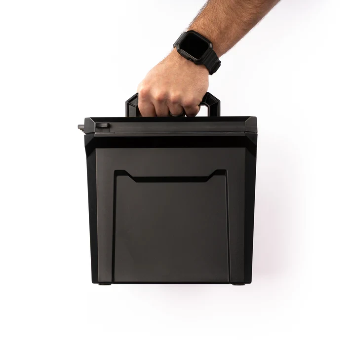
StopBox U-Can Review: The Ultimate Gear Organizer for Hunters
We take a deep dive into the rugged StopBox U-Can to see if this American-made utility case is the right solution for organizing your range and hunting gear.
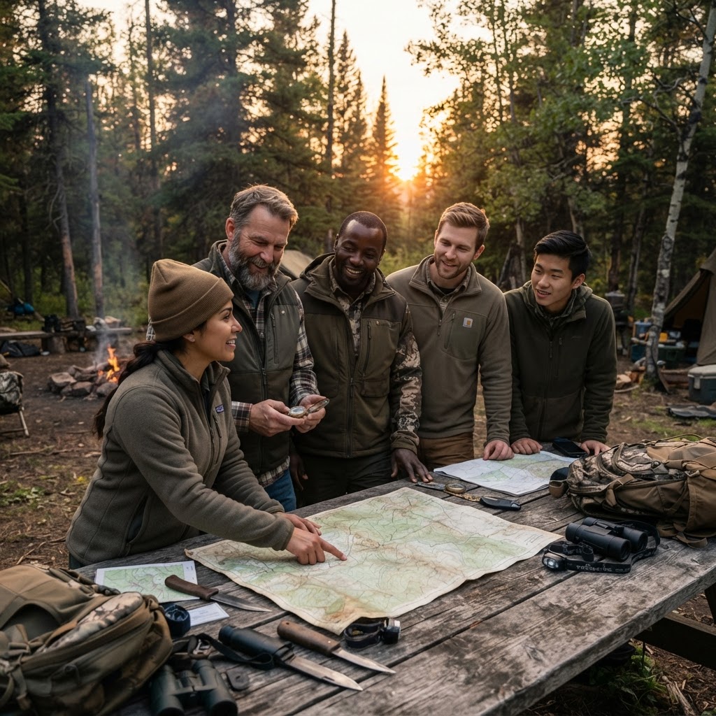
Finding Your Tribe: Maximizing the Value of Online Hunting Networks
The modern hunter isn't a solitary figure in the woods; they are part of a vast, connected community. Learn how to leverage the Buckeye Hunter Hub groups to sharpen your skills, share success, and build lasting bonds.

Elk Hunting in the Book Cliffs: Lessons Learned
Hunting the rugged Book Cliffs is a true test of endurance. Learn how navigating terrain and recovery challenges can improve your future elk hunts.
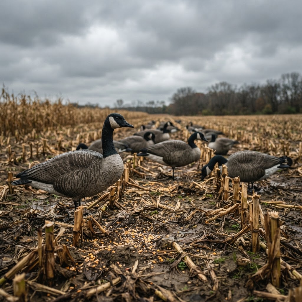
Honker Tactics: Engineering the Perfect Dry Field Setup
Turn more scouting hours into successful retrieves by mastering the specific dynamics of wind, movement, and concealment in the late-season goose field.