
Mapping Success: How to Use Buckeye Hunter Hub to Organize Your Hunting Setup
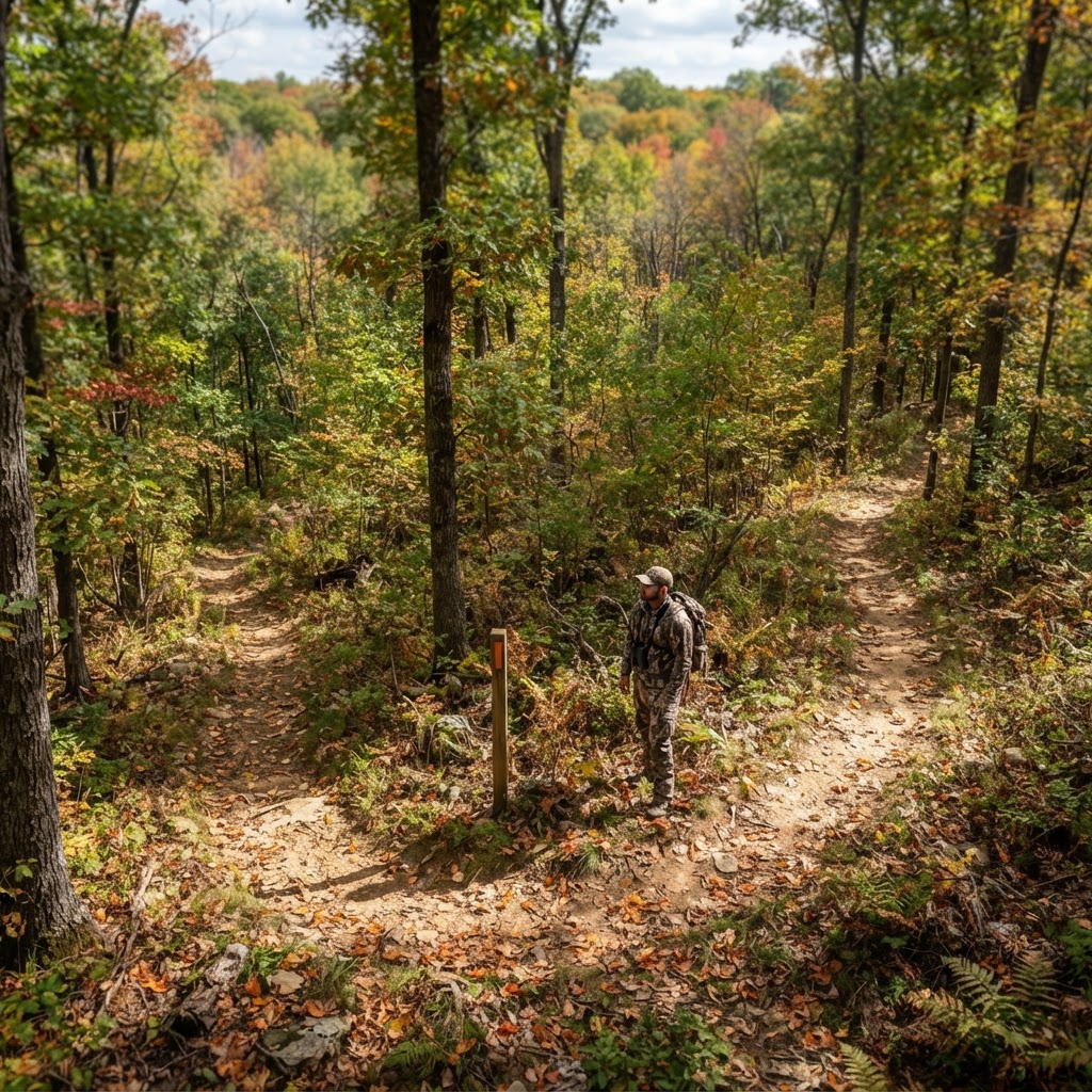
Precision Planning: Why Waypoints Matter
Every seasoned hunter knows that the difference between filling a tag and heading home empty-handed often comes down to preparation. In the modern era of scouting, the 'mental map' isn't enough. To truly master a property, you need a visual strategy. Whether you are tracking mature bucks on a private lease or navigating vast public land, the ability to pinpoint your infrastructure is a game-changer. That is where our come into play, offering a robust, free solution for organizing your field intelligence.
Free hunting map, zones & 50-state resources
Save your spots, share zones with your group, and get deer & waterfowl movement forecasts — free.
By systematically marking your stands, blinds, and trail cameras, you transform raw data into a tactical advantage. Instead of wandering aimlessly through the timber trying to remember which ridge holds that specific red oak stand, you can walk straight to your destination with confidence, keeping your scent trail minimal and your pressure low.
Getting Started with Buckeye Hunter Hub Waypoints
Using the Buckeye Hunter Hub to manage your gear is intuitive, even for those who aren't tech-savvy. The goal is to provide a digital blueprint of your hunting property that you can access from your phone or desktop before heading out the door.
Step 1: Navigating to Your Property
First, log into your account and open the map interface. Use the search bar or zoom functionality to locate your specific hunting area. Our platform provides high-resolution satellite imagery that allows you to identify key terrain features—fencelines, heavy bedding cover, and drainage ditches—that dictate where game moves.
Step 2: Selecting the Waypoint Tool
Once you have found your location, look for the 'Add Waypoint' icon in your toolbar. You will see a variety of symbols designed specifically for the woodsman. Select the icon that matches your equipment—for instance, a ladder stand symbol, a ground blind icon, or a camera pin.
Step 3: Dropping and Labeling
Click directly on the map where your equipment is situated. Once the pin is dropped, a dialogue box will appear. Don't just save it as 'Stand 1.' Be descriptive. Use labels like 'North Wind Morning Stand' or 'Creek Bottom Camera.' This allows you to cross-reference your stand placements with the to determine which site is optimal for the current weather conditions.
Scouting Smarter, Not Harder
E-Tag States

Harvest Tags
E-check means you supply the tag. Printed with the exact fields your state requires.
3-pack $22.95
When you maintain a digital ledger of your setups, you begin to see patterns that weren't obvious before. Perhaps you notice that your camera pins are all clustered in one corner of the property, leaving a 'blind spot' in the center where deer are likely traveling. By visualizing these gaps, you can adjust your strategy, move a camera to a new pinch point, or decide where to place a new set during the off-season.
This level of organization also helps with scent management. By mapping your stands, you can identify the most direct and lowest-impact routes to enter and exit without alerting the local deer herd. Entering your hunting area with a plan is the single best way to keep your hunting area 'fresh' throughout the entire season.
Integrating Data for Ultimate Success
Raise a safe, confident young hunter.
Guide your kids ages 5–17 through interactive hunting safety missions, real decision drills, and earned trophies — all from one free parent account.




Mapping your gear is only the first step. To take your game to the next level, start layering your waypoint data with seasonal information. For example, if you are tracking migratory birds, you might use your map to mark potential marsh setups while consulting our to identify peak flyway activity.
Furthermore, keep an eye on your to ensure that your waypoint maintenance doesn't interfere with peak rut or migration times. You want to have your cameras checked and stands secured well before the season opens so that when the wind turns right, you are ready to move into position immediately.
Final Tips for Waypoint Discipline
- Be Consistent: Update your map as soon as you move a camera or change a stand location. An outdated map can lead to confusion in the dark.
- Check the Layers: Use the terrain and topographic layers on our maps to understand why deer use certain trails. Often, a stand placement that looks great on a satellite image makes perfect sense once you see the 20-foot elevation change on the topo map.
- Share with Caution: If you share property with hunting partners, use the map to coordinate locations so you aren't overlapping or pressuring the same deer trails unnecessarily.
By leveraging these tools, you are moving from a reactive hunter to a proactive one. Hunting is a sport of inches and seconds; having the right information at your fingertips ensures that when your moment of truth arrives, you are exactly where you need to be. Dive into your next scouting session on the Buckeye Hunter Hub and see how organized planning leads to more frequent sightings and more successful harvests.
Join 341 hunters and anglers on Buckeye Hunter Hub — free.
Latest from the Community


New drop
Fresh Buckeye Hunter Hub tees & hoodies


Everything you need to hunt smarter — free
Buckeye Hunter Hub is a free, nationwide platform. Create an account and unlock the full toolkit:
Free Interactive Hunting Map
Mark stands, cameras, and sign. Draw hunting zones with public land & county overlays across all 50 states.
Zones with Group Sharing
Share zones with your hunting group, split property into sections, assign stands, and check in — all in one place.
50 States of Hunting Resources
Season dates, license links, and DNR regulations for every state, kept current so you never miss an opener.
Deer Movement Forecast
Data-driven daily movement predictions using wind, moon, and pressure — know when to sit before you go.
Waterfowl Movement & Tools
Flight-potential forecasts, migration numbers, decoy spread planner, and a full species field guide.
From the Maker Bench

Taggart Outdoors
Padded Rifle Sling
Hand-built in the USA · $134.99
Shop the MakerNew drop
Fresh Buckeye Hunter Hub tees & hoodies
Shop This

StopBox Pro Ward | Wall-Mounted
$179.00$199.99

StopBox Pro Compact
$159.00$179.99

Buckeye Hunter Hub Tee — Riding Shotgun
$20.55

Buckeye Hunter Hub Hoodie — Riding Shotgun
$32.87
E-Tag States
Harvest Tags
E-check means you supply the tag. Printed with the exact fields your state requires.
3-pack $22.95
More Articles

Elk Hunting in the Book Cliffs: Lessons Learned
Hunting the rugged Book Cliffs is a true test of endurance. Learn how navigating terrain and recovery challenges can improve your future elk hunts.
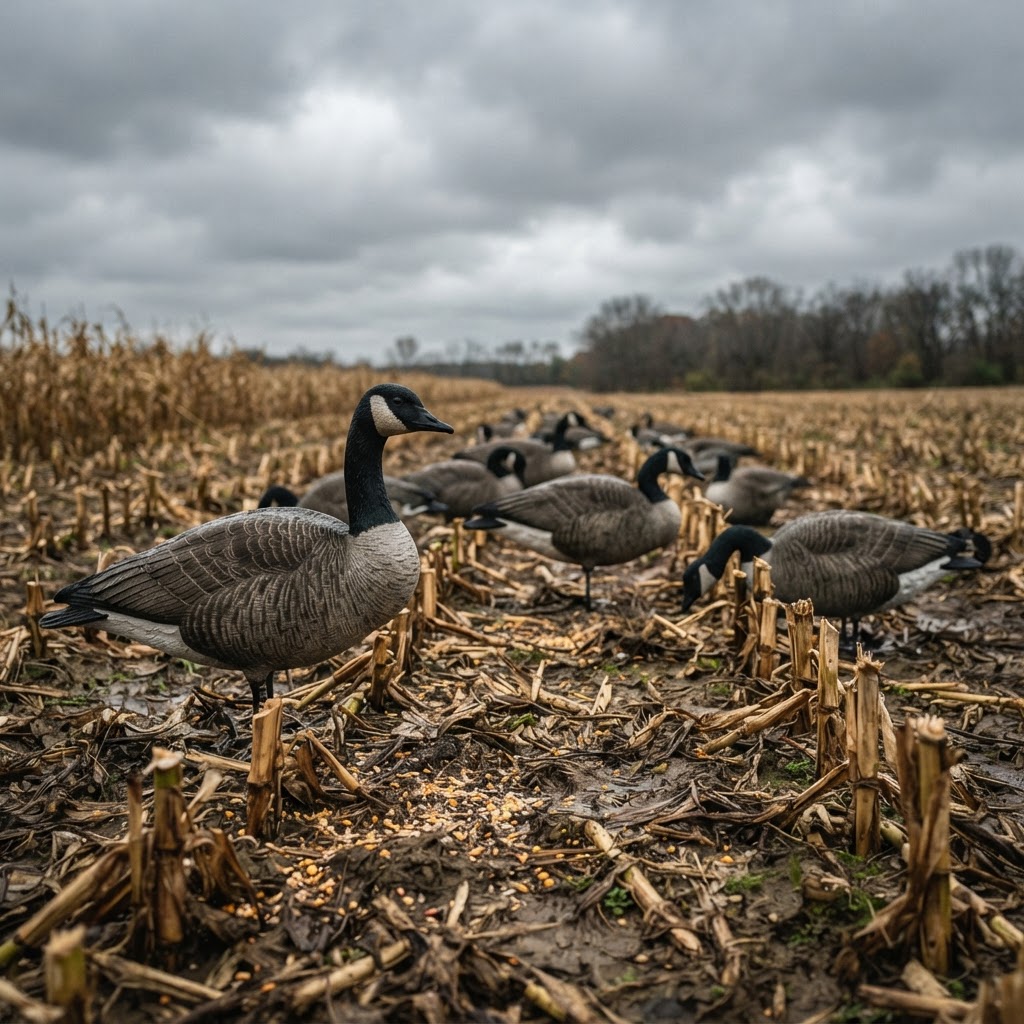
Honker Tactics: Engineering the Perfect Dry Field Setup
Turn more scouting hours into successful retrieves by mastering the specific dynamics of wind, movement, and concealment in the late-season goose field.
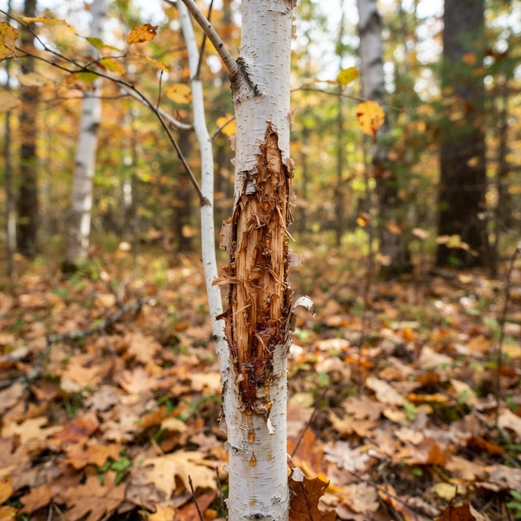
Deciphering the Daily Life of Whitetails: A Practical Guide to Reading Deer Sign
Success in the deer woods isn't just about showing up; it’s about reading the history left behind in the dirt and timber. Learn how to interpret rubs, scrapes, and bedding areas to turn your scouting into a filled tag.
Digital Heritage: Bringing the Marsh and Field to Your Screen with Hunter-Centric Art
Upgrade your digital workspace with our new retro-style wildlife wallpapers, featuring the iconic species that define our time spent in the blind and the timber.