Mapping Success: A Practical Guide to Digital Scouting with Buckeye Hunter Hub
Digital Scouting: The Modern Hunter’s Advantage
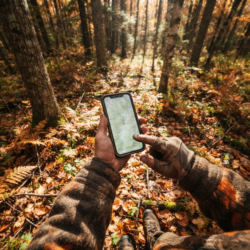
For generations, hunters relied on mental maps, worn-out paper topographic sheets, and physical flagging tape to track their hunting spots. While these traditional methods built the foundation of woodsmanship, they often lacked the precision and adaptability required for modern deer management. Today, digital scouting has revolutionized the way we interact with the land, turning anecdotal evidence into actionable data. By utilizing , you can visualize your entire hunting property or public land area in seconds, allowing for precise planning before you ever step foot into the woods.
Let AI sort your trail cam photos, free
Upload a photo and get the species, buck or doe, age guess, and the weather when it was taken.
At Buckeye Hunter Hub, we believe that the most successful hunters are the ones who understand their terrain the best. When you transition from relying on memory to using a digital interface, you gain a massive advantage in understanding how wildlife travels across your specific geography. Whether you are hunting expansive public timber or a managed private lease, the ability to drop a virtual pin on a specific location is the ultimate tool for organizational success.
Why Waypoints Change the Game
Marking waypoints—those specific geographic coordinates that identify critical features—serves several purposes beyond just knowing where your ladder stand is located. When you consistently mark your gear, you begin to see patterns in your hunting setup. Are your trail cameras placed in a straight line, or do they effectively cover the funnel you identified during the off-season? Do your blinds sit on the prevailing wind line, or are they exposed?
By keeping your infrastructure organized on a digital map, you can evaluate the 'flow' of your property. You might discover that a series of trail cameras is redundant, allowing you to move equipment to a high-traffic area you hadn't previously considered. Furthermore, when you combine waypoint marking with , you transition from passive observation to active strategy. Knowing exactly where your cameras are located helps you interpret the data they collect, providing a clearer picture of deer movement throughout the season.
A Step-by-Step Guide to Marking Waypoints
Getting started with the Buckeye Hunter Hub mapping system is designed to be intuitive, even for hunters who are less tech-savvy. Follow these steps to begin building your digital scout map today:
1. Identify Your Strategy
Before opening the app or website, have a goal. Are you scouting a new piece of public land, or are you preparing your home property for the rut? Knowing your objective helps in categorizing your markers. We recommend using a consistent naming convention, such as 'Stand_North_Oak' or 'Cam_CreekBottom_01', so that your map remains readable during the heat of the season.

2. Accessing the Interface
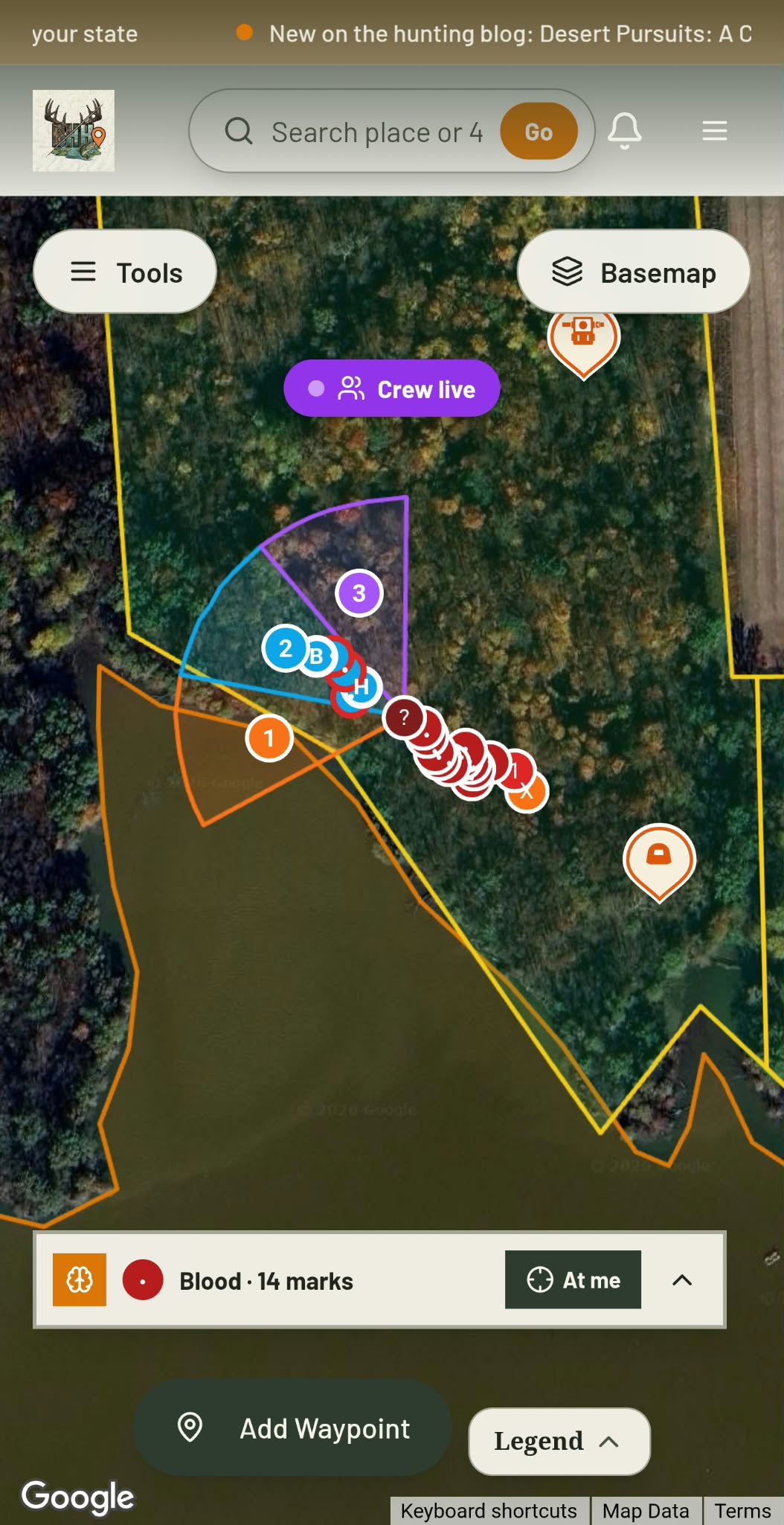
Log into your account and navigate to the . Ensure your base map layer is set to the topographic or satellite view that provides the most detail for your specific terrain. Satellite imagery is excellent for spotting potential bedding cover, while topographical layers will help you visualize benches, ridges, and pinch points where game is likely to travel.
3. Dropping and Customizing Pins
Once you have found your location, select the 'Add Marker' tool. Click directly on the map at the desired spot. You will be prompted to choose an icon—use specific symbols for stands, blinds, water sources, or trail cameras. This visual categorization is vital for seeing the 'big picture' of your property. Add notes to each pin regarding the date you checked it, the wind direction it favors, or the type of vegetation in the immediate area.
4. Continuous Refinement
Your map should be a living document. As the season progresses and you find new signs—scrapes, rubs, or heavy trails—update your waypoints. If a stand is failing to produce, consider dragging the marker to a new, more promising location based on recent sightings. This level of responsiveness is exactly why digital mapping is superior to paper records.
E-Tag States

Harvest Tags
E-check means you supply the tag. Printed with the exact fields your state requires.
3-pack $22.95

Youth Hunter Academy
Raise a safe, confident young hunter.
Safety missions for ages 5–17. Free parent account.
Leveraging Data for Better Results
Digital scouting is not about replacing the time you spend in the woods; it is about making that time more productive. By spending thirty minutes on a rainy Tuesday mapping out your season, you save hours of aimless walking during the short window of prime hunting daylight. When you reach a point where you need more data, you can cross-reference your mapped camera locations with the to determine when, exactly, you should be in that specific stand.
Beyond simply marking gear, use your map to track 'intel.' Did you see a buck near the North Creek crossing? Drop a pin with a quick note. Did you notice a change in the food source? Update the map accordingly. Over time, you will start to see the connections between weather, time of year, and terrain usage. This is the essence of , and having your map organized is the first step toward mastering it.
Final Thoughts on Digital Preparation
The goal of utilizing these tools is simple: to increase your efficiency and, ultimately, your success in the field. By treating your property like a strategic map, you gain a sense of control that allows you to hunt with confidence rather than hope. Remember, the best technology in the world is only as good as the hunter using it. Take the time to plot your points, organize your strategy, and enjoy the process of becoming a more disciplined and informed outdoorsman. If you need a refresher on any of our tools, check out our for more guidance on getting the most out of your experience.
Free every morning
Your Daily Briefing
One morning forecast for the spots you actually hunt and fish: deer movement, waterfowl flights, bite times, wind and shooting light.
See what's in itSet up your briefing
Join free, save a spot on the map, then pick what you hunt and fish and when you want your email.
Join 1,238 hunters and anglers on Buckeye Hunter Hub — free.
Latest from the Community


Everything you need to hunt smarter — free
Buckeye Hunter Hub is a free, nationwide platform. Create an account and unlock the full toolkit:
Free Interactive Hunting Map
Mark stands, cameras, and sign. Draw hunting zones with public land & county overlays across all 50 states.
Zones with Group Sharing
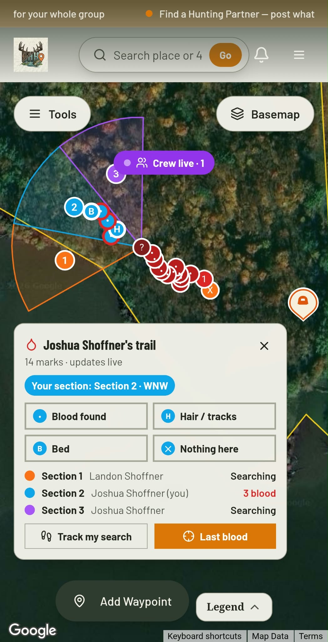
Share zones with your hunting group, split property into sections, assign stands, and check in — all in one place.
50 States of Hunting Resources
Season dates, license links, and DNR regulations for every state, kept current so you never miss an opener.
Deer Movement Forecast
Data-driven daily movement predictions using wind, moon, and pressure — know when to sit before you go.
Waterfowl Movement & Tools
Flight-potential forecasts, migration numbers, decoy spread planner, and a full species field guide.
From the Maker Bench

Taggart Outdoors
Custom Western Belt
Hand-built in the USA · $127.99
Shop the MakerBHH Partner
Thinking about selling a rifle or an old family shotgun? Check up-to-date market pricing by make and model before you sell.
webuyguns.comE-Tag States
Harvest Tags
E-check means you supply the tag. Printed with the exact fields your state requires.
3-pack $22.95
More Articles

Choosing Your StopBox: Quick-Access Security Made Simple
Looking for the right quick-access security for your home? We break down the StopBox lineup to help you find the perfect fit for your defensive needs.
Scaling Your Retail Success: The Buckeye Hunter Hub Wholesale Advantage
Enhance your store’s inventory with premium secure storage solutions through the Buckeye Hunter Hub wholesale partner program, designed to boost your margins and customer satisfaction.
Crafting the Perfect Goose Jerky: A Hunter’s Guide to High-Protein Snacks
Turn your hard-earned Canada goose harvest into the ultimate field snack with this fool-proof guide to making savory, tender wild game jerky.
The Gem State Frontier: Navigating Idaho’s Vast Public Hunting Grounds
From the rugged Sawtooth Range to the expansive high desert, Idaho offers an unparalleled public land hunting experience. Discover how to effectively scout and access the state's premier wildlife habitats.