Mapping Success: A Guide to Using Waypoints for Smarter Scouting
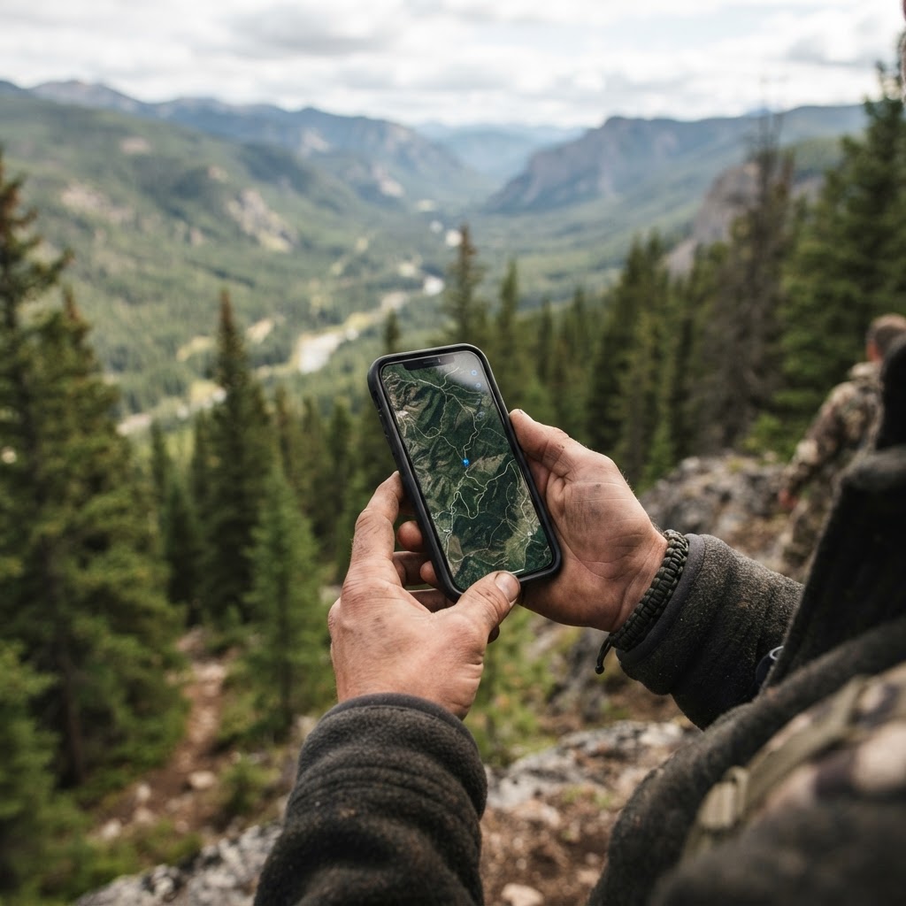
Scouting Smarter in the Digital Age
Every successful hunting season is built upon a foundation of preparation. Whether you are chasing mature whitetails in the Midwest or navigating public land in the backcountry, the difference between a successful harvest and a long walk in the woods often comes down to scouting. For years, hunters relied on paper maps and mental notes, but today, we have the advantage of precision technology. Using the available on Buckeye Hunter Hub, you can now digitize your entire strategy, ensuring that when the season opens, you are exactly where you need to be.
Why Waypoints Matter
Waypoints are essentially the bookmarks of the hunting world. By dropping a digital pin on your map, you are capturing a specific observation—a rub line, a creek crossing, or a high-traffic trail—and anchoring it to a geographic location. This allows you to visualize the movement patterns of game across your entire property. When you mark your stands, blinds, and trail cameras with precision, you can analyze the relationships between your gear and the natural landscape. Are your cameras catching movement that suggests your stand is ten yards too far north? A waypoint will tell you the truth.
Step 1: Accessing the Buckeye Hunter Hub Map
Getting started is straightforward. Log in to your account and navigate to our . The interface is designed for both desktop planning and in-field adjustments. If you are preparing for the upcoming season, start on your desktop to get a bird's-eye view of your terrain, using satellite imagery to identify funnels, bedding areas, and pinch points. The goal here is to create a digital layout of your hunting ground.
Step 2: Marking Your Infrastructure
Once you have oriented yourself, start by marking your fixed infrastructure. Click the 'Add Waypoint' tool and drop a pin exactly where your treestands or ground blinds are located. Use descriptive labels—for instance, 'North Ridge Stand' or 'Creek Bottom Blind.' This isn't just about keeping track of gear; it’s about understanding your entry and exit routes. By mapping your stands, you can visualize how the wind will affect your scent profile in relation to the primary deer trails.
Step 3: Integrating Trail Camera Data
Texas · E-Tag State

Texas Harvest Tags
E-check means you supply the tag. Printed with the exact fields Texas requires.
3-pack $19.95
Trail cameras are your eyes in the woods, but they are only effective if you know what they are telling you. When you place a camera, drop a waypoint at its exact location. As you check your cards, you can update the note section of that waypoint with the species, time of day, or weather conditions present. Over time, this transforms your map from a simple location tool into a database of deer movement. You might notice that your cameras on the edge of a food plot only trigger when the wind is out of the west, or that buck activity spikes during specific phases of the rut. Comparing these findings with our can provide actionable insights into the .
Analyzing Patterns to Predict Movement
After you have populated your map with waypoints, look for the 'connect the dots' moment. Are your camera waypoints showing a migration path that leads toward your favorite stand? Do your stand locations align with the best pinch points identified by the satellite layer? By keeping these data points organized, you stop hunting blindly. Instead, you hunt with a strategy rooted in consistent observation.
Raise a safe, confident young hunter.
Guide your kids ages 5–17 through interactive hunting safety missions, real decision drills, and earned trophies — all from one free parent account.



If you find yourself needing more information on local regulations or public land access, make sure to consult your to ensure your scouting aligns with legal boundaries. For those who enjoy sharing their scouting wins or asking for advice on setup placement, our are a great place to connect with fellow outdoorsmen who share your passion for data-driven hunting.
Staying Organized All Season Long
Consistency is key. Throughout the season, your map should remain dynamic. If you move a stand because a thermal updraft is ruining your scent control, update the waypoint immediately. If a trail camera gets knocked over, mark the area as a dead zone. This level of organization ensures that next year, you aren't starting from scratch—you’re starting from a place of deep, proven knowledge of your hunting grounds.
By leveraging the tools provided by Buckeye Hunter Hub, you are moving away from 'luck' and moving toward 'logistics.' When you have a clear picture of where your gear is and where the game is moving, you spend more time in the right place at the right time. So, fire up your maps, start dropping those pins, and get ready for your most productive season yet. Happy hunting.
Free hunting map, zones & 50-state resources
Save your spots, share zones with your group, and get deer & waterfowl movement forecasts — free.
Join 235 hunters and anglers on Buckeye Hunter Hub — free.
Latest from the Community



New drop
Fresh Buckeye Hunter Hub tees & hoodies


Everything you need to hunt smarter — free
Buckeye Hunter Hub is a free, nationwide platform. Create an account and unlock the full toolkit:
Free Interactive Hunting Map
Mark stands, cameras, and sign. Draw hunting zones with public land & county overlays across all 50 states.
Zones with Group Sharing
Share zones with your hunting group, split property into sections, assign stands, and check in — all in one place.
50 States of Hunting Resources
Season dates, license links, and DNR regulations for every state, kept current so you never miss an opener.
Deer Movement Forecast
Data-driven daily movement predictions using wind, moon, and pressure — know when to sit before you go.
Waterfowl Movement & Tools
Flight-potential forecasts, migration numbers, decoy spread planner, and a full species field guide.
From the Maker Bench

Taggart Outdoors
Padded Rifle Sling
Hand-built in the USA · $134.99
Shop the MakerNew drop
Fresh Buckeye Hunter Hub tees & hoodies
Shop This

StopBox Pro Ward | Wall-Mounted
$179.00$199.99

StopBox Pro Compact
$159.00$179.99

Buckeye Hunter Hub Tee — No Tag Left Behind
$20.55

Buckeye Hunter Hub Hoodie — No Tag Left Behind
$32.87
Texas · E-Tag State
Texas Harvest Tags
E-check means you supply the tag. Printed with the exact fields Texas requires.
3-pack $19.95
More Articles

Gear Up for the Field: Introducing the New Little Brown Duck Dog Hoodie
Meet your new favorite layer for the duck blind and beyond: the Buckeye Hunter Hub Little Brown Duck Dog hoodie is here to keep you warm and looking sharp.

Make a Statement: Introducing the Buckeye Hunter Hub Hoodie — Whoa.
Meet the ultimate addition to your outdoor wardrobe: the Buckeye Hunter Hub Hoodie — Whoa., designed for those who live for the pursuit and value a bit of personality in their gear.

Introducing the Little Brown Duck Dog Tee: Your New Favorite Hunting Apparel
Meet the latest addition to the Buckeye Hunter Hub gear lineup, designed for those who live for the marsh and the field.

Introducing the 'Whoa.' Tee: Performance Apparel for the Modern Outdoorsman
Meet the new Buckeye Hunter Hub Tee — Whoa., designed for those who live for the field, the blind, and the boat ramp.