
How to Use the Buckeye Hunter Hub Interactive Hunting Map to Find Public Land
Introduction
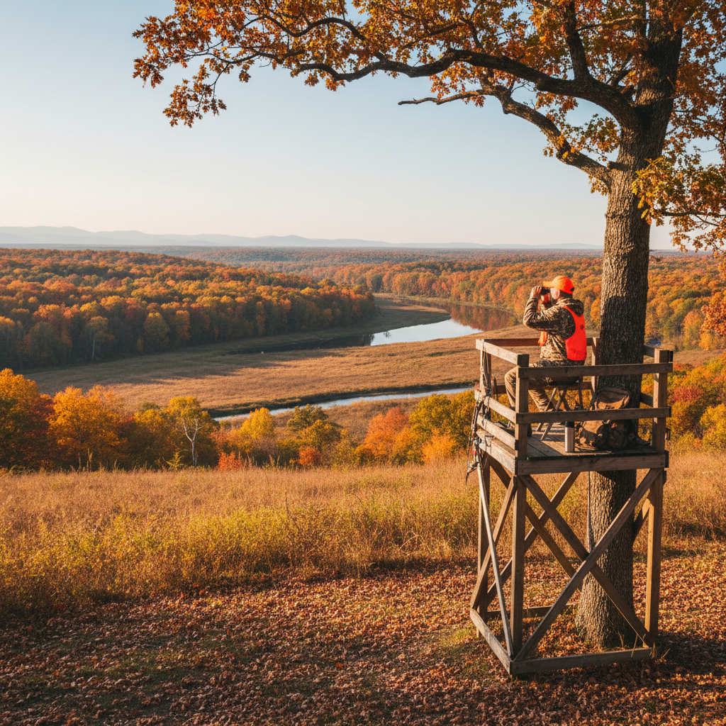
Hunting season is upon us, and maximizing your experience in the field begins with knowing where to go. The Buckeye Hunter Hub interactive hunting map simplifies this by providing an easy-to-use tool that helps you locate public land. By using this resource, you can scout smarter and increase your chances of finding more game.
In this guide, we’ll walk you through the features of the interactive hunting map, step-by-step instructions on how to utilize it, and tips on how it enhances your scouting experience.
Free hunting map, zones & 50-state resources
Save your spots, share zones with your group, and get deer & waterfowl movement forecasts — free.
Features of the Interactive Hunting Map
The Buckeye Hunter Hub interactive hunting map is designed specifically for hunters looking to explore public lands. Here are some of its key features:
- Layered Maps: Toggle between topographical maps, satellite images, and various hunting zones to obtain essential information.
- Public Land Locations: Easily locate state parks, wildlife management areas, and national forests available for hunting.
- User-Friendly Interface: Simple navigation allows even novice users to access the information they need quickly.
- GPS Integration: Seamless integration with your GPS devices to aid in real-time tracking while you’re in the field.
These features are invaluable for any hunter seeking to optimize their hunting strategy.
Step-by-Step Guide to Using the Interactive Map
Accessing and utilizing the Buckeye Hunter Hub interactive hunting map is straightforward. Follow these steps:
Step 1: Access the Map
Go to the section on the Buckeye Hunter Hub website. You’ll be greeted with a visual breakdown of various areas available for hunting.
Step 2: Choose Your Area
Select the state you want to explore. For example, if you're hunting in Ohio, click on the state to narrow down the areas searchable.
Step 3: Layer Your Map
Once you’ve chosen a state, you'll see different layers on the map. Use the layer options to display:
- Topographical information
- Public land boundaries
- Terrain types
This is instrumental in determining the best hunting locations and understanding the landscape.
Step 4: Identify Game Zones
Explore the designated hunting areas by clicking on markers that indicate zones where game is likely to be found. Make note of specific hunting regulations applicable to each area to ensure compliance.
Washington · E-Tag State

Washington Harvest Tags
E-check means you supply the tag. Printed with the exact fields Washington requires.
3-pack $22.95
Step 5: Download Maps
For added convenience, download maps for offline use. This step can be vital if you plan to use your GPS in areas with limited cell service.
Step 6: Scout with Purpose
Utilize the information gathered from the map while scouting. Look for trails, water sources, and potential bedding areas using what you see on the map to guide your exploratory hikes.
Step 7: Engage with the Hunting Community
Maximize your learning by connecting with fellow hunters in your area. Explore our to share insights and experiences.
Raise a safe, confident young hunter.
Guide your kids ages 5–17 through interactive hunting safety missions, real decision drills, and earned trophies — all from one free parent account.




Enhancing Your Hunt with Smart Scouting
Using the Buckeye Hunter Hub interactive map is a game-changer for any hunter. Here’s how it helps you scout smarter:
- Efficiency: Save time by pinpointing high-potential areas instead of wandering aimlessly. Knowing where public lands are can lead directly to success.
- Strategic Planning: Gain geographical awareness through layered maps that show more than just hunting boundaries; analyze potential deer trails or feeding areas.
- Informed Decisions: Enhance your scouting trips by preparing with data rather than guesswork. This leads to better choice in tags and locations.
Additionally, consider integrating tools like into your hunting preparation. This AI-driven hunt planner provides personalized recommendations, ensuring you never overlook essential factors like weather or location trends.
Why Public Lands Matter
Access to public lands not only provides opportunities for hunting but also supports conservation initiatives. As outlined by the U.S. Fish & Wildlife Service, these lands play a critical role in preserving wildlife habitats and promoting biodiversity. By using the interactive hunting map, not only are you finding excellent hunting spots, but you are also contributing to the responsible utilization of these resources.
Conclusion
The free Buckeye Hunter Hub interactive hunting map is an essential tool for hunters who want to maximize their time in the field while minimizing the stress of the planning process. With its user-friendly interface, layered mapping options, and access to vital information about public land locations, you’re equipped to scout smarter and find more game.
Don't forget to check out our for more tailored information for your specific location, or visit the to stay updated on important dates. For those looking to expand their hunting opportunities, our also offer new possibilities.
Happy hunting!
Join 293 hunters and anglers on Buckeye Hunter Hub — free.
Latest from the Community


New drop
Fresh Buckeye Hunter Hub tees & hoodies


Everything you need to hunt smarter — free
Buckeye Hunter Hub is a free, nationwide platform. Create an account and unlock the full toolkit:
Free Interactive Hunting Map
Mark stands, cameras, and sign. Draw hunting zones with public land & county overlays across all 50 states.
Zones with Group Sharing
Share zones with your hunting group, split property into sections, assign stands, and check in — all in one place.
50 States of Hunting Resources
Season dates, license links, and DNR regulations for every state, kept current so you never miss an opener.
Deer Movement Forecast
Data-driven daily movement predictions using wind, moon, and pressure — know when to sit before you go.
Waterfowl Movement & Tools
Flight-potential forecasts, migration numbers, decoy spread planner, and a full species field guide.
From the Maker Bench

Taggart Outdoors
Padded Rifle Sling
Hand-built in the USA · $134.99
Shop the MakerNew drop
Fresh Buckeye Hunter Hub tees & hoodies
Shop This

StopBox Pro Ward | Wall-Mounted
$179.00$199.99

StopBox Pro Compact
$159.00$179.99

Buckeye Hunter Hub Tee — No Tag Left Behind
$20.55

Buckeye Hunter Hub Hoodie — No Tag Left Behind
$32.87
Washington · E-Tag State
Washington Harvest Tags
E-check means you supply the tag. Printed with the exact fields Washington requires.
3-pack $22.95
More Articles

Field to Table: Mastering the Slow-Roasted Bear and Root Vegetables
Transform your fall harvest into a rustic masterpiece with this foolproof bear roast recipe that highlights the richness of wild-harvested meat.
Mastering the Migration: Strategic Canada Goose Tactics for Dry Fields
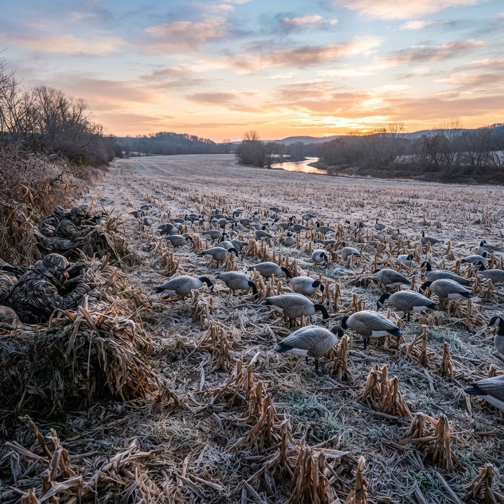
Success in the dry field hinges on reading the barometer, perfect concealment, and creating a realistic landing pocket. Unlock the secrets to consistent honker harvests with these advanced field tactics.
Optimizing Your Scouting: A Practical Approach to Waypoint Management
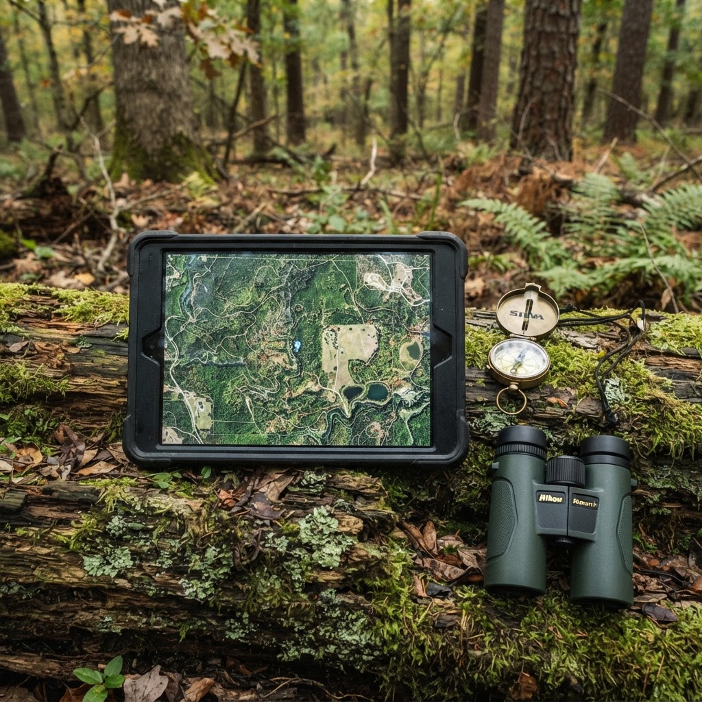
Transform your chaotic scouting notes into a streamlined digital strategy by mastering the waypoint features of the Buckeye Hunter Hub interactive map. Learn how to pinpoint your next harvest with surgical accuracy.
Cornfield Kingdom: Navigating Iowa’s Premier Public Land Opportunities
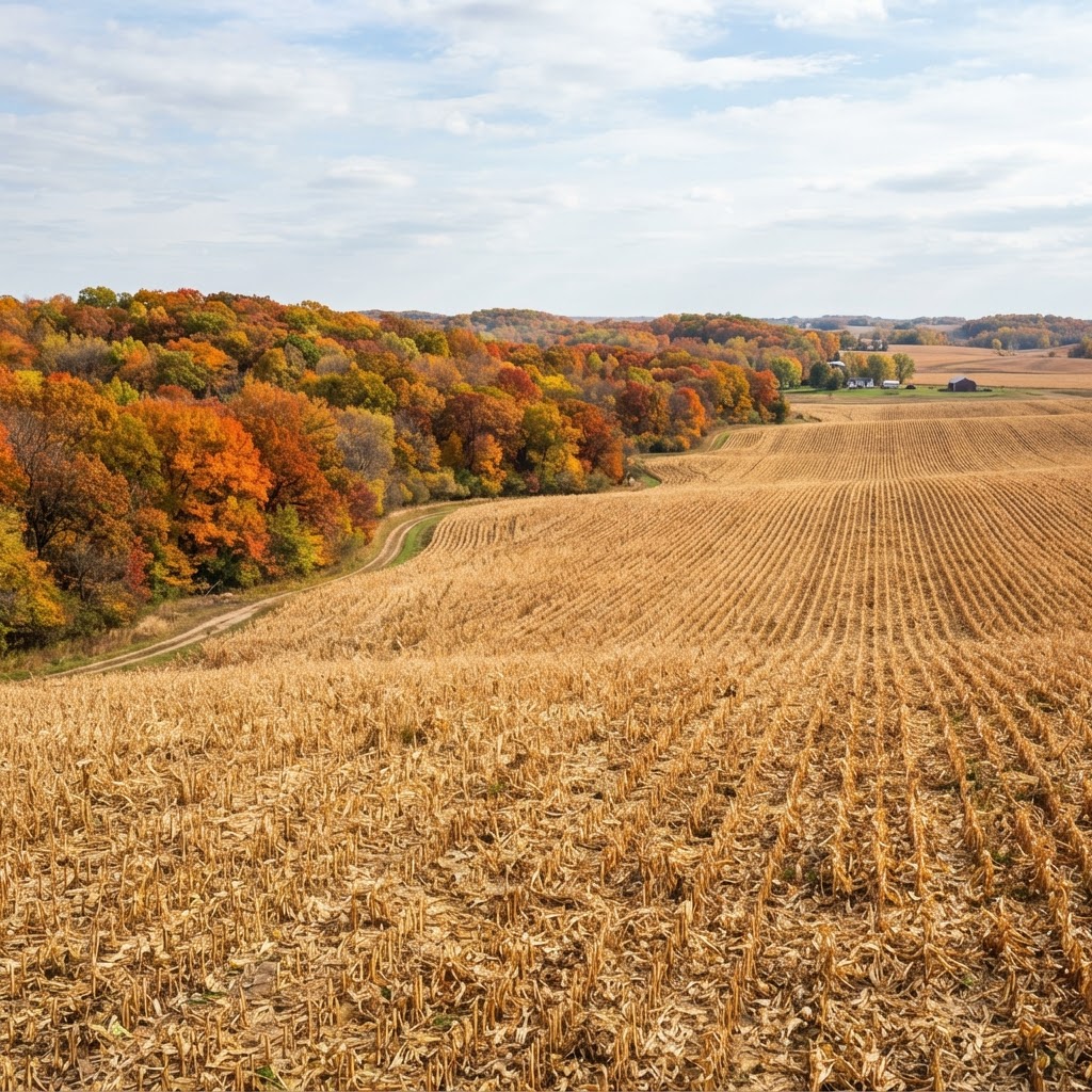
Iowa is more than just rolling farmland; it is a legendary destination for public land hunters willing to put in the work. Learn how to unlock the Hawkeye State’s best kept secrets.