Digital Scouting Efficiency: Organizing Your Field Gear with BHH Interactive Maps
Mapping Your Success
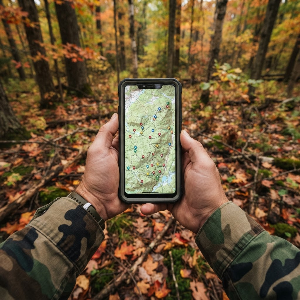
Successful hunting is rarely a product of pure luck; it is almost always the result of deliberate, consistent preparation. Whether you are hunting expansive public timber or managing a private lease, the ability to visualize your hunting area is a game-changer. Most hunters start with a vague mental map of where their equipment sits, but as the season progresses, memory becomes a liability. This is where leveraging becomes an essential skill. By digitizing your field operations, you transform your hunting strategy from a guessing game into a structured, data-driven approach.
Free hunting map, zones & 50-state resources
Save your spots, share zones with your group, and get deer & waterfowl movement forecasts — free.
At Buckeye Hunter Hub, we designed our mapping tools to be intuitive for hunters who would rather be in the woods than wrestling with complex GIS software. The goal is simple: create a bird's-eye view of your property that allows you to see the relationships between your gear, the terrain, and the movement of game.
Step 1: Getting Started with Digital Waypoints
To begin marking your gear, log into your account and navigate to the mapping interface. You will be presented with a satellite view of your designated hunting area. The first step is to identify a starting point—your access route or a known landmark. From there, locate the 'Add Pin' or 'Mark' function in the control menu.
When marking a stand, don't just drop a pin at the location. Utilize the customization features to label the marker with descriptive details. Include the stand height, the primary wind direction it covers, and the date you last serviced the straps. If you are marking a ground blind, note the date you brushed it in. By keeping this metadata attached to your pin, you eliminate the "what gear is at which stand" dilemma when you are packing your truck at 4:00 AM.
Step 2: Optimizing Trail Camera Coverage
Trail cameras are the eyes of the woods, but they are only useful if you know exactly where they are pointing. When you place a camera, drop a waypoint on your map and assign it a specific icon. If you have a fleet of cameras, consider color-coding them based on battery health or memory card status.
Once your cameras are mapped, you can correlate their locations with to see if you have adequately covered pinch points, bedding edges, and water sources. If you notice a gap in your coverage, the map will make it glaringly obvious. When you retrieve your photos, remember that you can streamline your process using to quickly identify the high-traffic cameras, ensuring you aren't wasting time manually checking units that have sat cold for weeks.
E-Tag States

Harvest Tags
E-check means you supply the tag. Printed with the exact fields your state requires.
3-pack $22.95
Step 3: Analyzing Patterns and Refining Strategy
Once you have your stands and cameras mapped, the real magic happens. You aren't just looking at icons on a screen anymore; you are looking at your hunting strategy. Look for the 'empty space' on your map—areas where you don't have eyes or a stand. Often, these spots are where deer are filtering through undetected.
Furthermore, you can overlay your marked stands with current trends from the . If the forecast suggests a shift in behavior due to temperature or pressure, look at your map and see which of your stands provides the best vantage point for that specific transition. This is the difference between "going hunting" and "hunting with intent." By visualizing your gear, you can plan your daily sets based on wind, pressure, and the historical data you have collected throughout the season.
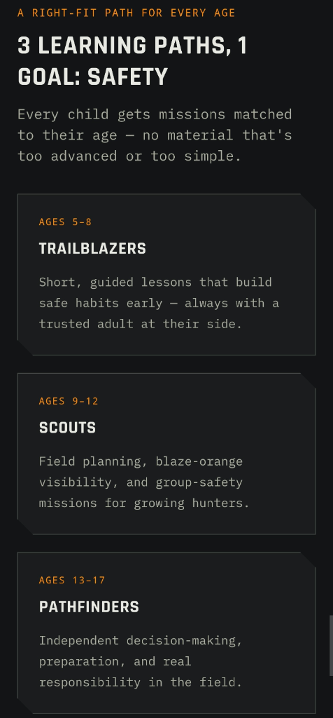
Raise a safe, confident young hunter.
Guide your kids ages 5–17 through interactive hunting safety missions, real decision drills, and earned trophies — all from one free parent account.
Bonus: every $10 you spend in the BHH shop earns a free seat (up to 5). Use them or share them.



Maintaining Your Digital Portfolio
Your map should be a living document. After each trip to the field, update your waypoints. If a stand is failing, mark it as 'needs repair.' If a trail camera is stolen or moved, update the pin immediately. This discipline is what separates the casual hunter from the highly efficient woodsman. It allows you to enter the woods with a clear plan, knowing exactly which stands to rotate to based on the current weather conditions or recent sightings on the .
If you are working on a new piece of property, you can also cross-reference your markers with to ensure your stand placements comply with local regulations regarding distance from property lines or baiting sites. Staying organized digitally ensures that you are always compliant, prepared, and ready for the moment the rut kicks into gear. Remember, the best hunters aren't the ones who spend the most hours in the tree; they are the ones who spend the most hours strategizing how to get there efficiently.
Join 776 hunters and anglers on Buckeye Hunter Hub — free.
Latest from the Community


Everything you need to hunt smarter — free
Buckeye Hunter Hub is a free, nationwide platform. Create an account and unlock the full toolkit:
Free Interactive Hunting Map
Mark stands, cameras, and sign. Draw hunting zones with public land & county overlays across all 50 states.
Zones with Group Sharing
Share zones with your hunting group, split property into sections, assign stands, and check in — all in one place.
50 States of Hunting Resources
Season dates, license links, and DNR regulations for every state, kept current so you never miss an opener.
Deer Movement Forecast
Data-driven daily movement predictions using wind, moon, and pressure — know when to sit before you go.
Waterfowl Movement & Tools
Flight-potential forecasts, migration numbers, decoy spread planner, and a full species field guide.
From the Maker Bench

SE Ohio Outdoors
Euro Mount Hook
Hand-built in the USA · $8.00
Shop the MakerBHH Partner

Firearms, ammo and gear from a local Ohio shop in Grafton. Stop in before the season.
dnaarmory.comShop This

StopBox Pro Ward | Wall-Mounted
$179.00$199.99

StopBox Pro Compact
$159.00$179.99

BHH Speckle Camo Hoodie
$53.36

BHH Blackwood Camo Hoodie
$53.36
E-Tag States
Harvest Tags
E-check means you supply the tag. Printed with the exact fields your state requires.
3-pack $22.95
More Articles

Elevating Inventory: Scaling Your Shop with the Buckeye Hunter Hub Retail Partner Program
Expand your tactical accessory lineup with reliable, high-demand firearm storage solutions through the exclusive Buckeye Hunter Hub wholesale program.
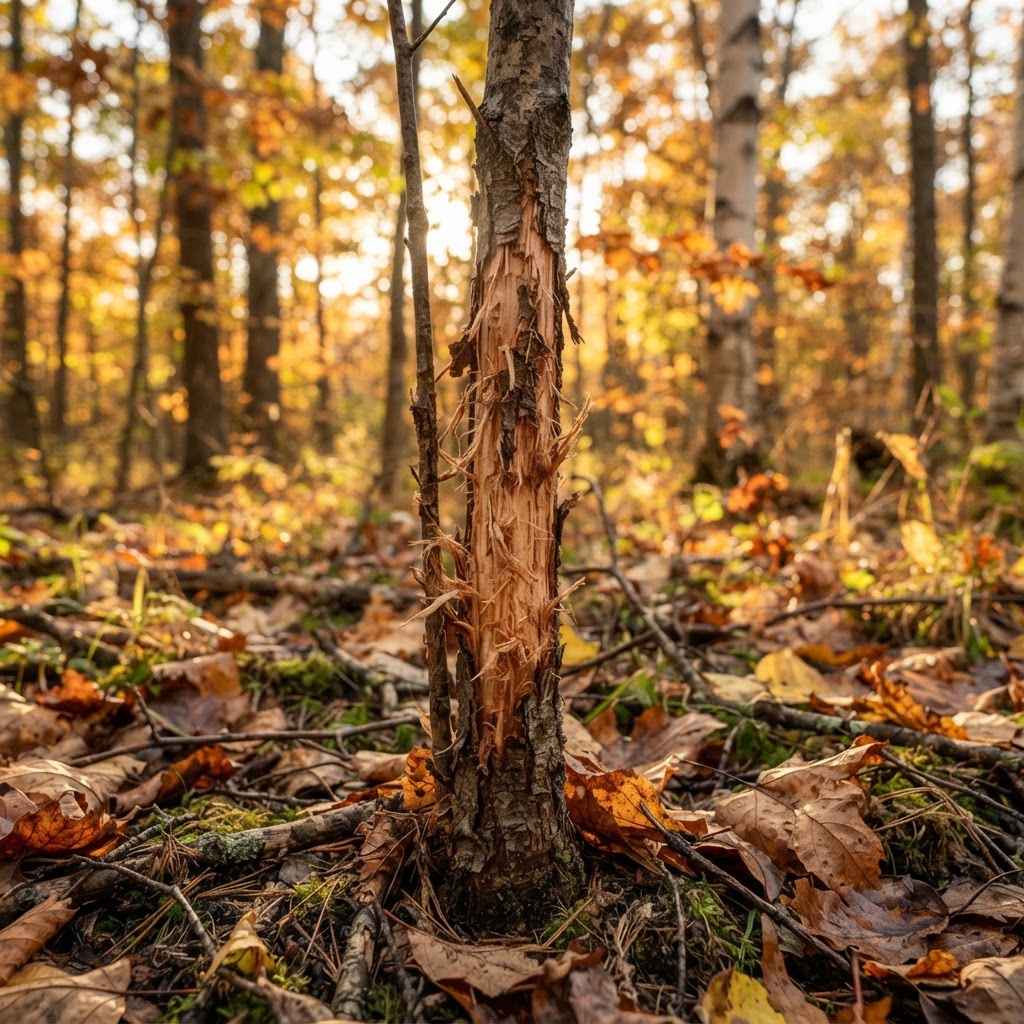
Forest Forensics: Reading the Subtle Clues of Whitetail Territory
Successful hunting isn't just about showing up; it is about reading the land. Learn how to interpret the environmental shorthand of rubs, scrapes, and bedding areas to get ahead of the herd.
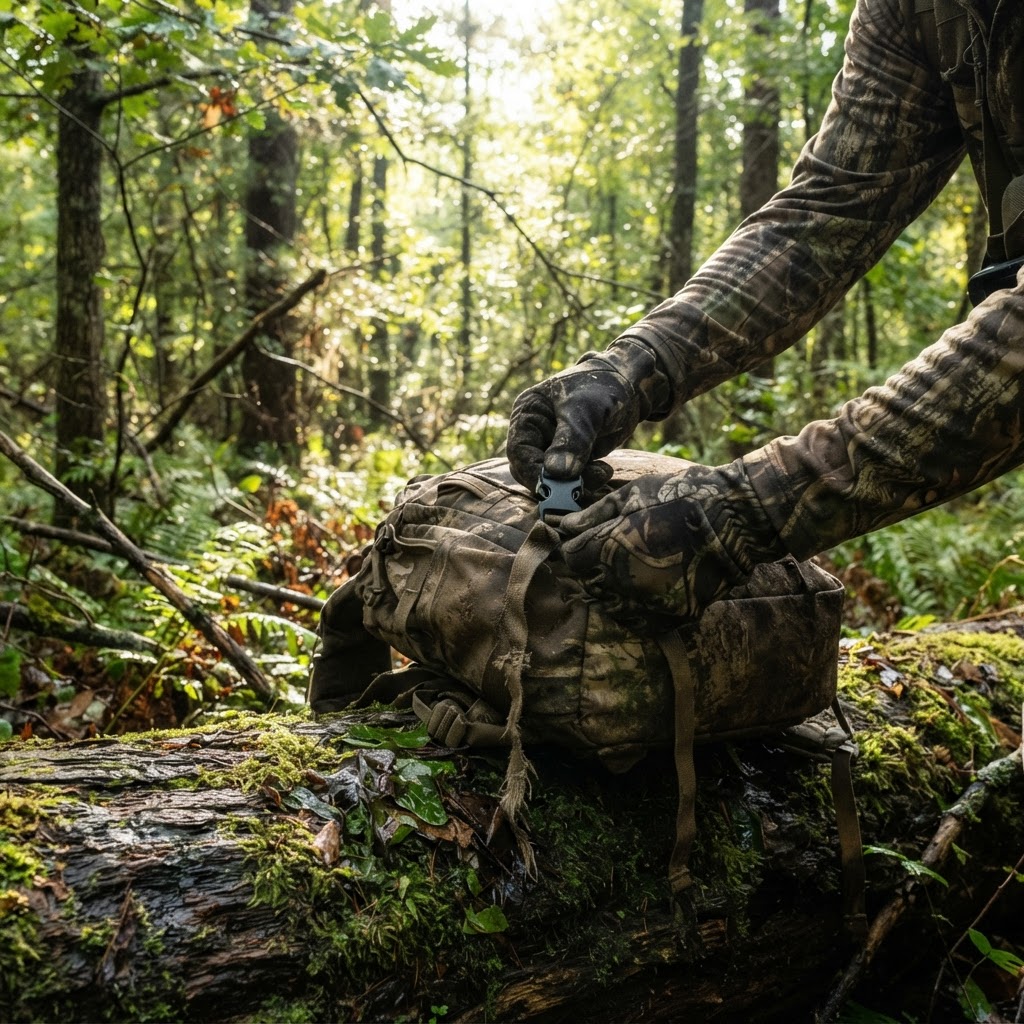
The Natural State Pursuit: A Hunter’s Guide to Arkansas Public Land
From the deep bottomlands of the Delta to the rugged ridges of the Ozarks, Arkansas offers diverse hunting opportunities. Learn how to navigate the Natural State's unique landscape to fill your freezer this season.
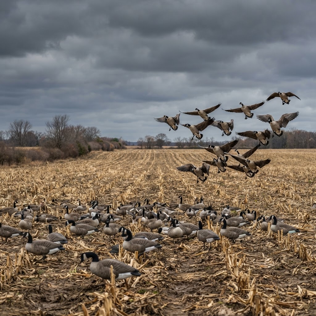
Tactical Goose Decoying: Patterns, Wind, and Field Persistence
Master the art of the field hunt by syncing your spread with shifting weather patterns and the complex social hierarchy of Canada geese.