
Digital Precision: Mastering Waypoint Management for Better Scouting
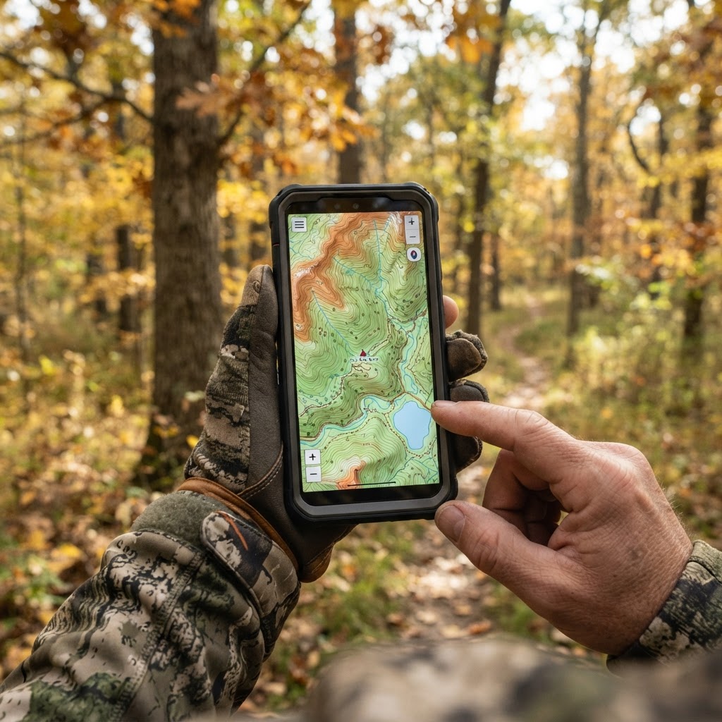
Scouting Smarter, Not Harder
Every serious hunter knows that the difference between a full freezer and an empty tag often comes down to the quality of the pre-season scout. In the old days, we relied on paper plat maps, mental markers, and fading ribbons tied to branches. Today, we have the ability to catalog every piece of critical intel with surgical precision. Using digital tools to plot your hunting landscape isn't just about convenience; it is about building a mental database that allows you to react to the woods in real-time.
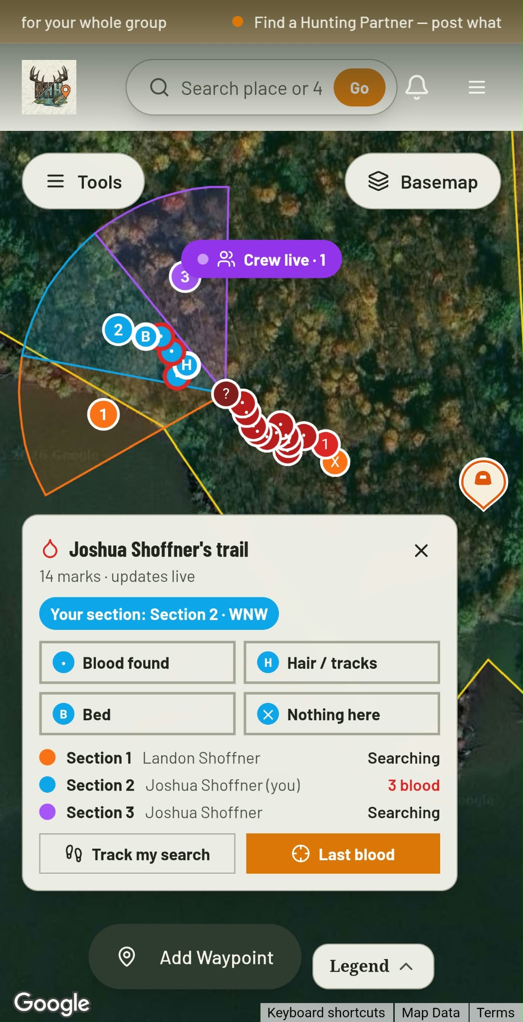
Blood Trail + Search Grid · Free
Hit one? Call in the crew.
Give every buddy a search section and see each drop they find, live.
See how it worksAt Buckeye Hunter Hub, we have integrated powerful to help you centralize your efforts. By marking your equipment and sign-points digitally, you move from wandering aimlessly to executing a calculated strategy. Here is how to make the most of those tools to streamline your upcoming season.
The Why Behind the Waypoint
Why bother digitizing your gear locations? First, consider efficiency. If you are hunting a large lease or a complex piece of public land, you cannot afford to waste time walking to a stand that isn't optimal for the current wind direction. When you have your stands, ground blinds, and cameras pinned, you can quickly assess which locations are viable before you ever leave your truck.
Second, it allows you to visualize the movement corridors. When you mark where your cameras catch the most activity, you will start to see patterns. You can compare these locations against to understand why game is using specific trails at specific times. By layering your data, you create a tactical advantage that levels the playing field against mature bucks.
Step-by-Step: Adding Your Gear to the Map
Getting started with the Buckeye Hunter Hub interactive mapping tool is designed to be intuitive. If you follow these steps, you will have a fully mapped property in no time:
1. Identify Your Anchor Points
Before you drop pins, identify your primary setups. This includes your elevated box blinds, hang-on stands, and primary trail camera locations. Navigate to the map interface and zoom in on your specific hunting area using the satellite view. Look for clear landmarks like creeks, ridge lines, or fence corners to ensure your pins are placed with high accuracy.
Washington · E-Tag State

Washington Harvest Tags
E-check means you supply the tag. Printed with the exact fields Washington requires.
3-pack $19.95
2. Labeling with Intention
Don't just drop a generic pin. Use clear, descriptive labels. A naming convention works best: for example, "NE Ridge - Stand 1" or "Creek Bottom - Cam 4." Adding a note to each waypoint—such as "Best for North Wind" or "Morning Stand"—will prevent you from having to guess which gear is set for which condition. This level of organization is essential, especially when you are hunting in low-light conditions before dawn.
3. Syncing with Your Trail Cam Data
One of the most powerful ways to use these waypoints is by cross-referencing them with your . When you receive intel about a target buck, log his position on your map. Over a few weeks, you will see a cluster of pins that identify exactly where the core area of that animal is located. This takes the mystery out of "where should I sit?" and replaces it with data-driven decision-making.
Building a Historical Archive
Raise a safe, confident young hunter.
Guide your kids ages 5–17 through interactive hunting safety missions, real decision drills, and earned trophies — all from one free parent account.




Mapping is a year-round process. Your hunting season doesn't start in October; it starts when you begin reviewing last year's data. By keeping your waypoints organized, you can look back at past seasons to see how game usage has shifted. Perhaps a clear-cut has grown in, or a new water source has emerged. Having a historical record of where you had successful encounters helps you adjust your strategy year after year.
If you are feeling stuck on a particular property, consider browsing to see how others in your region are handling similar terrain or check the to ensure your scouting timeline aligns with regional regulations. Hunting is a community sport, and sharing knowledge through these digital platforms is part of what keeps our tradition alive.
Precision Leads to Success
Ultimately, the goal of using these digital mapping tools is to spend more time hunting and less time fumbling with logistics. When you are organized, you are quieter, more confident, and better prepared to capitalize on the few seconds of opportunity that define a successful hunt. Whether you are prepping for a deep-woods rifle hunt or a tactical archery stalk, the digital map serves as your command center.
Don't let your hard-earned scouting intel disappear into the void of memory. Open up your map, start pinning your locations, and treat your hunting property with the same precision as a professional land manager. When the season opens, you will be walking into your stand with a plan, not a guess.
Free hunting map, zones & 50-state resources
Save your spots, share zones with your group, and get deer & waterfowl movement forecasts — free.
Join 257 hunters and anglers on Buckeye Hunter Hub — free.
Latest from the Community



New drop
Fresh Buckeye Hunter Hub tees & hoodies


Everything you need to hunt smarter — free
Buckeye Hunter Hub is a free, nationwide platform. Create an account and unlock the full toolkit:
Free Interactive Hunting Map
Mark stands, cameras, and sign. Draw hunting zones with public land & county overlays across all 50 states.
Zones with Group Sharing
Share zones with your hunting group, split property into sections, assign stands, and check in — all in one place.
50 States of Hunting Resources
Season dates, license links, and DNR regulations for every state, kept current so you never miss an opener.
Deer Movement Forecast
Data-driven daily movement predictions using wind, moon, and pressure — know when to sit before you go.
Waterfowl Movement & Tools
Flight-potential forecasts, migration numbers, decoy spread planner, and a full species field guide.
From the Maker Bench

Taggart Outdoors
Padded Rifle Sling
Hand-built in the USA · $134.99
Shop the MakerNew drop
Fresh Buckeye Hunter Hub tees & hoodies
Shop This

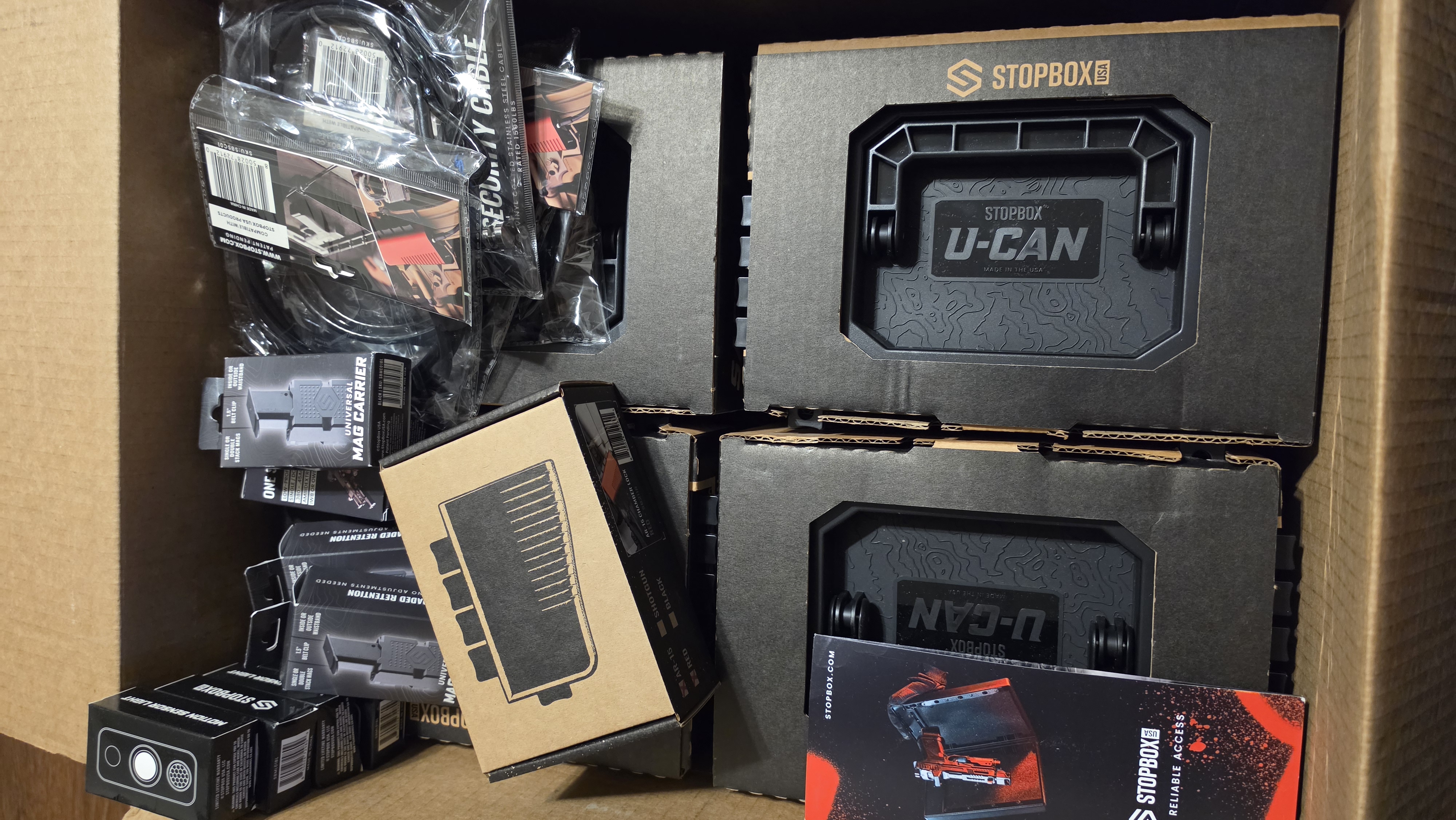
StopBox Pro Ward | Wall-Mounted
$179.00$199.99

StopBox Pro Compact
$159.00$179.99

Buckeye Hunter Hub Tee — No Tag Left Behind
$20.55

Buckeye Hunter Hub Hoodie — No Tag Left Behind
$32.87
E-Tag States

Harvest Tags
E-check means you supply the tag. Printed with the exact fields your state requires.
3-pack $19.95
More Articles
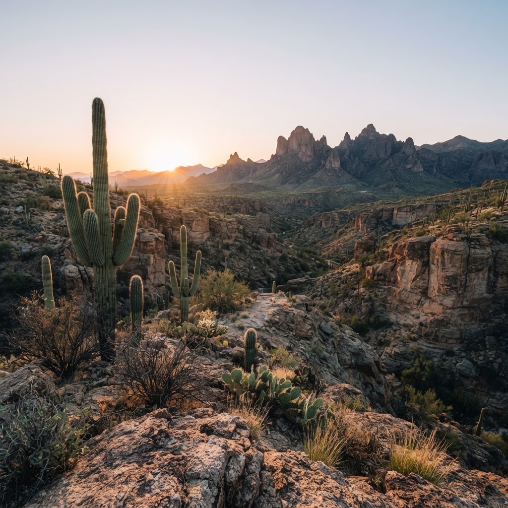
Desert Pursuits: A Comprehensive Guide to Arizona Big Game Hunting
From the high-country pines to the cactus-studded basins, Arizona offers some of the most challenging and rewarding hunting experiences in the American Southwest.
Hoosier Heartland Pursuit: A Tactical Guide to Indiana Public Land Hunting
Indiana is a hidden gem for the public land hunter. Discover how to navigate state-managed properties and national forests to find your next trophy while avoiding the crowd.

The Last Frontier: A Strategic Guide to Alaskan Big Game Hunting
Alaska offers the ultimate challenge for the American sportsman, combining vast wilderness with unmatched species diversity. From planning your logistics to understanding the unique terrain, here is how to navigate the complexities of hunting the Last Frontier.

Gear Up for the Field: Introducing the New Little Brown Duck Dog Hoodie
Meet your new favorite layer for the duck blind and beyond: the Buckeye Hunter Hub Little Brown Duck Dog hoodie is here to keep you warm and looking sharp.