
Hiking & Camping
Eyes on the Hills: Predicting Steepness Before You Start
BHH Outdoors Nov 14, 2026 6 min read
Seeing Beyond the Flat Paper
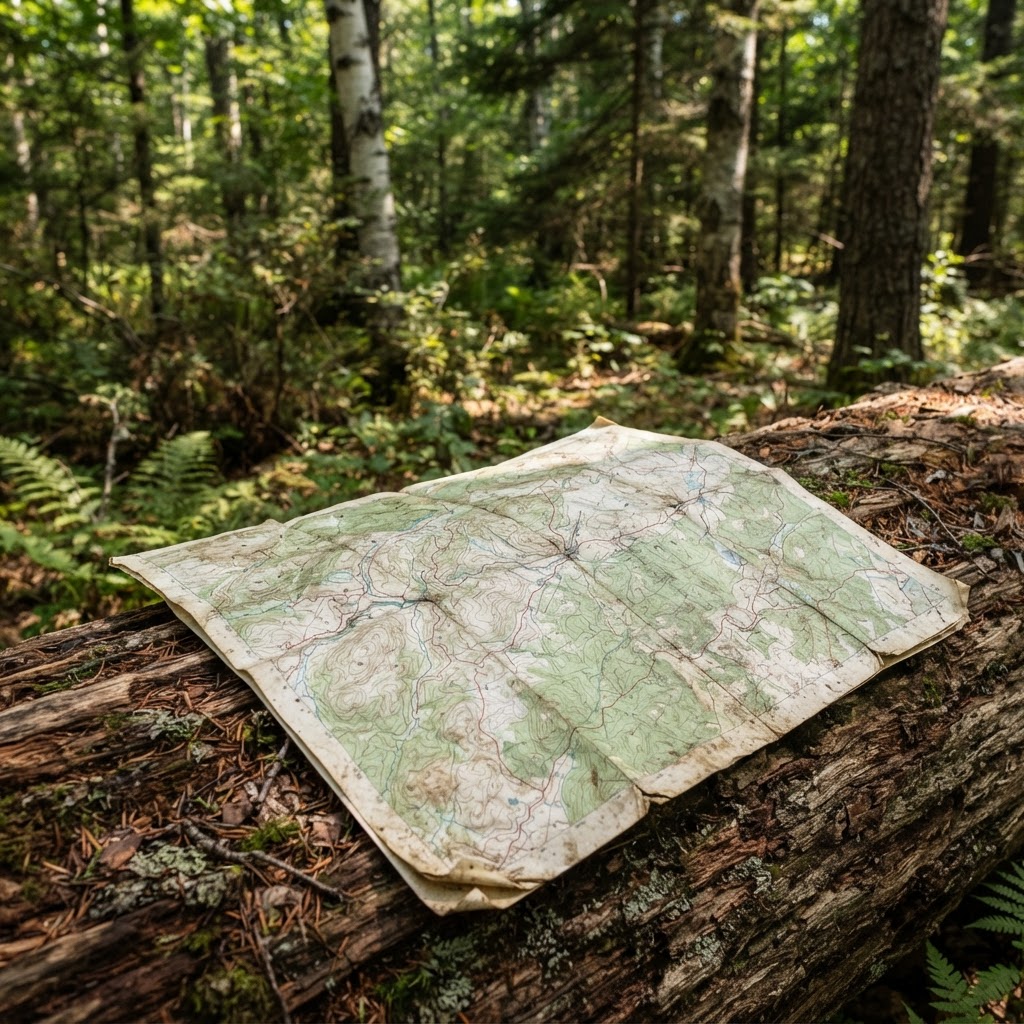
When you are planning your next trip into the backcountry, whether you are scouting for birds, searching for historical relics, or just heading out to enjoy the fresh air, the paper in your hand or the screen on your phone tells a story. At BHH Outdoors, we believe that understanding the land is the first step toward a safe and enjoyable adventure. While many people use the hiking map to find trailheads, far fewer take the time to decode the secrets hidden in the squiggly lines known as contours.
Contour lines are not just artistic flourishes on a topographic map. They are precise markers of elevation. By learning to interpret these lines, you can predict exactly how hard your lungs will work before you even leave your truck. If you are planning a long hike to scout locations or carry heavy equipment for metal detecting, knowing the incline is the difference between an enjoyable outing and an exhausting struggle.
The Language of Elevation
Topographic maps work by drawing lines that connect points of equal elevation above sea level. If you walked along a contour line, your elevation would never change. It is essentially a level walk around a mountain. The real magic happens when you look at how these lines interact with one another.
Understanding Spacing
The most important rule of contour lines is simple: the closer the lines are together, the steeper the slope. Imagine the lines are steps on a ladder. When the steps are far apart, you have a gentle incline that is easy to navigate. When the lines are stacked tightly, like the pages of a thick book, you are looking at a cliff or a very steep ridge. If you are carrying a pack full of gear for your outing, you should look for routes where the contour lines have plenty of breathing room between them.
Identifying Terrain Features
Beyond just steepness, you can spot specific land formations by the shape of the lines. A V-shape in the contours, with the point of the V pointing toward higher elevation, usually indicates a drainage or a creek bed. If you are out foraging or birding, these areas are often magnets for wildlife and unique plants because they hold moisture longer than the surrounding ridges.
Conversely, if the lines form a U-shape that points downhill, you are likely looking at a ridge or a spur. Ridges offer excellent vantage points for bird watching or scanning a valley. When you read these shapes correctly, you can plan your route to utilize natural terrain features rather than fighting against them.
Practical Route Planning
Before you head out, pull up the BHH Outdoors blog to find tips on trip preparation. However, always verify local conditions. Terrain can change due to recent weather events, fallen trees, or trail closures. It is vital to check your state's rules and agency links for the specific area you plan to visit, as regulations for off-road access or camping vary significantly between a National Forest and a State Park. You can often find current maps and alerts on the official US Forest Service website.
If you are planning your trip during hunting season dates, remember that your strategy should also include safety and awareness of other users in the woods. Steep terrain might be the shortest path to your destination, but it is rarely the fastest if it results in injury or fatigue. Always plan for extra time when crossing contour-dense areas on the map.
Avoiding Hidden Dangers
Reading a map is a skill that saves energy, but it also aids in situational awareness. If the contours are so close together that they essentially merge into a dark, thick line, that is a cliff. If your intended route crosses such a line, you are likely planning to traverse dangerous terrain. Never assume a trail exists just because the terrain looks passable on a map.
Always remember that land managers have the final say on where you can go. Check signage at the trailhead and stick to marked routes if required. Following these simple steps allows you to move through the wilderness with confidence, knowing you have done your homework before taking that first step.
Whether you are an old hand at navigating the woods or just getting started with BHH Outdoors, taking ten minutes to study the contour lines will pay dividends. You will find that the landscape begins to reveal its character before you ever arrive, helping you stay safe, save your energy for the activity you love, and enjoy the wild spaces that we are all so lucky to explore.
Mark it on your own map
Drop private hiking pins, record your route and come back to the spot next season.
Open the hiking map →