Strategic Navigation: Customizing Your Angling Database with Digital Waypoints
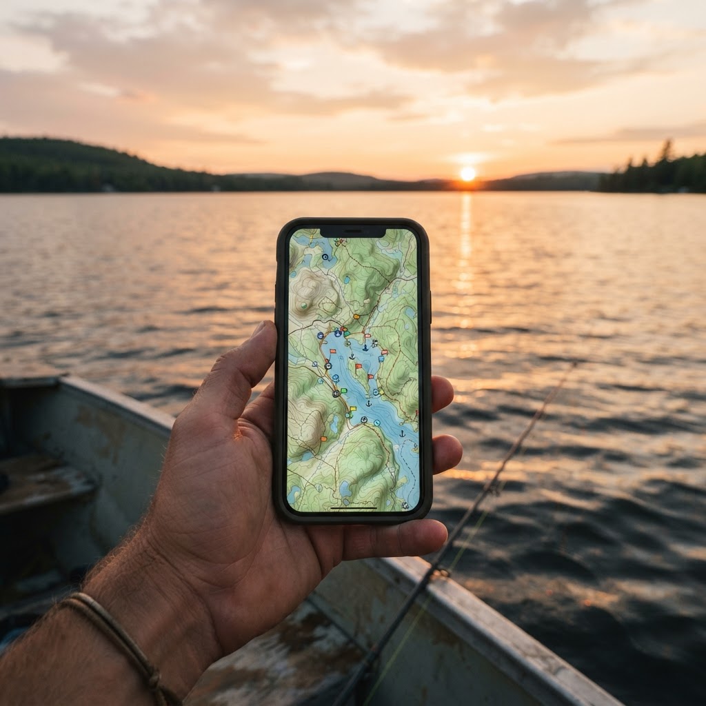
Every angler knows the sinking feeling of locating a honey hole—a perfect cluster of submerged brush or a sharp ledge holding cruising bass—only to lose the exact coordinates when the sun dips below the horizon or the wind shifts. Navigating open water can turn even the most seasoned veteran into a guessing game participant. Fortunately, modern technology has bridged the gap between memory and precision. By utilizing the provided by Buckeye Hunter Hub, you can build a personal, evolving database of structural intelligence that turns blind casting into surgical strikes. Whether you are targeting shallow-water largemouth or deep-trolling for walleye, the ability to pin your findings is the single greatest equalizer on the water. ## The Anatomy of a High-Percentage Map Far too many anglers treat their maps as mere navigational tools to avoid shallow hazards, but they are actually the most powerful scouting devices in your tackle box. When you mark features like brush piles, drop-offs, and boat ramps, you are essentially creating a blueprint of the lake's personality. Brush piles are transient treasures; they often require specific angles to fish effectively. By dropping a pin on the precise 'sweet spot' of a pile, you ensure that your boat's position allows for the perfect cast angle every time, keeping your lure in the strike zone longer. Similarly, knowing exactly where a shelf drops from ten to twenty feet saves hours of sonar frustration. It is about maximizing your time with lines in the water, not idling over dead flats. ## Step-by-Step: Cataloging Your Finds Getting started with the Buckeye Hunter Hub interface is intuitive, designed for the angler who would rather be rigging baits than navigating complex software. First, ensure your device is logged into your account to save your personal data across sessions. When you identify a point of interest on your fish finder, cross-reference it on your map view. Click the 'Add Marker' tool, which allows you to select custom icons for specific features—use a tree icon for timber or brush, a ramp icon for launches, and a depth-gauge icon for drop-offs. Once the pin is placed, input a brief note. Don't just label it 'Drop-off'; add details like 'best in North wind' or 'productive at 14 feet.' This context transforms a static pin into a living history of your successes. This method of building your own intelligence is a cornerstone of success, often discussed in deeper technical breakdowns on . If you are uncertain about the regulations for the specific structure you are fishing, always consult the local or the official website of the state's wildlife agency, such as the Ohio Department of Natural Resources, to ensure your navigation and fishing practices remain compliant with local ordinances. ## Moving Beyond the Basics: Seasonal Mapping The true power of digital marking lies in the ability to layer information over time. A brush pile that holds bass in the sweltering heat of August may be barren during the spring spawn. By creating custom map folders or toggling your markers by category, you can visualize how fish movement correlates with the changing seasons. This helps you identify patterns rather than just individual spots. When you return to a boat ramp, take a moment to look at your marked drop-offs for that specific region. Are the fish moving shallower? Are they holding on the transition zone? The map becomes a teacher. When you finally land that trophy, don't forget to share the experience on our so others can appreciate the results of your strategic planning. ## Refining Your Approach Accuracy is everything. When marking a drop-off, do not simply mark the top of the ledge. Instead, mark the transition line—the precise depth where the structure changes. By marking the 'start' and 'end' points of a contour line, you essentially draw a path for your boat to follow, allowing you to trace that edge perfectly with your trolling motor. This is the difference between casting blindly into a general area and fishing the specific seam where predators ambush prey. Remember, nature is dynamic. Water levels fluctuate, and silt shifts. Treat your digital markers as flexible guides rather than absolute laws. Regularly update your notes as you revisit these spots. If a brush pile has washed away or a launch is closed, purge it from your map to keep your navigation clean. A tidy, well-marked map is the mark of a pro. By investing time into your digital toolkit, you spend less time searching for the fish and more time battling them, effectively turning your favorite lake into your personal backyard.
Get in the Community feed
Hunters and anglers nationwide posting bucks, catches, trail cam pics and what's working right now.


Catch more these fish — free
Create a free account and unlock the full angling toolkit: