
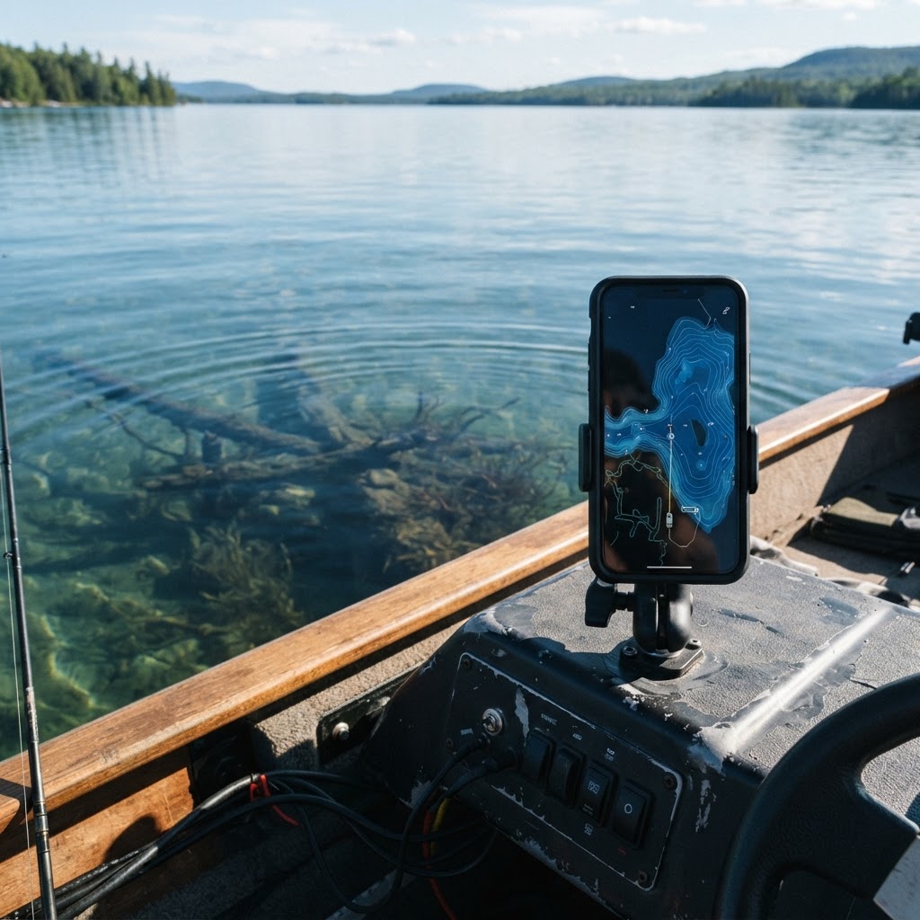
Mastering Your Waters: How to Mark Fishing Spots on the Buckeye Hunter Hub Map
Unlock the Power of Precision Fishing
Every seasoned angler knows the frustration of finding a perfect piece of structure—a submerged brush pile, a sharp ledge, or a secluded boat ramp—only to lose track of it once the wind shifts or the GPS signal fades. Whether you are chasing largemouth bass on a sprawling reservoir or targeting crappie in tight timber, your ability to return to productive water is what separates a lucky day from a successful season. At Buckeye Hunter Hub, we believe that technology should be an asset, not a barrier. Our is designed to help you organize your seasonal patterns, log structure locations, and store data that keeps you on the fish.
Get in the Community feed
Hunters and anglers nationwide posting bucks, catches, trail cam pics and what's working right now.


Why Marking Structure Matters
Fish often hold to specific geographical features. A drop-off that transitions from 5 to 15 feet might hold baitfish in the morning, while a brush pile tucked into a creek channel could be the primary ambush point for predator species during the heat of the day. Without a reliable way to mark these locations, you are essentially fishing blind. By utilizing the marking feature on our platform, you create a personal database of success. You can cross-reference these marks with like water temperature data or stocking reports provided by agencies such as the Ohio Department of Natural Resources (https://ohiodnr.gov), giving you a holistic view of the ecosystem before you ever launch your boat.
Step-by-Step: Marking Your Hotspots
Using the Buckeye Hunter Hub map is intuitive, even for those who aren't tech-savvy. Follow these steps to build your personal fishing library:
Raise a safe, confident young hunter.
Guide your kids ages 5–17 through interactive hunting safety missions, real decision drills, and earned trophies — all from one free parent account.
Bonus: every $10 you spend in the BHH shop earns a free seat (up to 5). Use them or share them.




1. Scouting the Landscape
Start by zooming into your target body of water on the map. Toggle the satellite or bathymetric layers to identify potential structure. Look for irregularities in the shoreline, sharp contours in the bottom depth, or hidden coves that aren't visible from the main channel.
2. Dropping a Marker
Once you have identified a feature, select the 'Add Marker' tool from the sidebar menu. Click directly onto the location on the map. A pin will appear, allowing you to name it. We suggest using a descriptive naming convention, such as 'North-Creek-Brush-Pile' or 'Main-Channel-Drop-Off.' This ensures that when you are reviewing for seasonal tips, you can quickly correlate your specific marks with the broader fishing advice provided by our community.
3. Adding Descriptive Notes
Simply marking the location isn't enough; you need context. Use the description box to note the depth, the type of cover, or the species you have caught there previously. Did you catch them on a jig or a crankbait? Was it in the spring or the fall? These details are invaluable for pattern recognition.
Returning to Your Fish with Confidence
Having a well-marked map changes your entire fishing strategy. Instead of spending your first hour on the water scouting for structure, you head straight to your pre-marked waypoints. This maximizes your time with lines in the water during those crucial 'golden hour' windows. When you arrive at your mark, keep an eye on your fish finder to confirm the structure is still active and holding life. If the fish have moved, simply update your marker with a new note, building a historical log that spans multiple years.
Connecting with the Wider Community
While your personal map marks are private, you can use the data you collect to contribute to the wider angling community. After a successful day of hitting your marked brush piles, share your success on our to inspire others. Seeing how other anglers utilize similar topography across the region can help you refine your own strategy. Perhaps someone else has found that drop-offs at similar depths are producing in other local lakes, providing you with a 'shortcut' to success on a body of water you haven't visited yet.
Staying Legal and Responsible
Technology is a fantastic tool, but it never replaces the fundamentals of ethical angling. As you mark your ramps, brush piles, and drop-offs, ensure you are staying within the bounds of local fishing regulations. Always check your local jurisdiction’s current rules regarding submerged structures, as some state regulations change based on public safety or environmental conservation efforts. By keeping your gear, your data, and your ethics in check, you contribute to a sustainable future for the sport we all love.
Final Thoughts
Digital mapping isn't just about finding fish—it's about understanding the environment. By consistently documenting where the fish are hiding, you turn hours of trial and error into a methodical, repeatable process. Whether you are marking a deep-water ledge for summer bass or an accessible launch ramp for a quick weekend trip, the Buckeye Hunter Hub map provides the canvas. Start mapping your success today, and spend less time searching and more time reeling in the catch of a lifetime.
Catch more these fish — free
Create a free account and unlock the full angling toolkit: