
Visualizing Your Season: A Tactical Approach to Digital Land Management
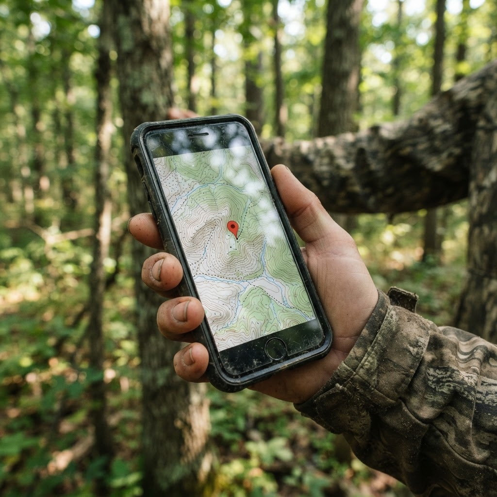
Elevating Your Scouting Strategy Through Digital Precision
Every successful season is built on a foundation of preparation that happens long before the first leaves turn. For the modern hunter, the difference between a productive outing and a long, fruitless sit often boils down to how effectively they can manage information. The days of relying solely on memory or hand-drawn sketches are largely behind us. Today, leveraging digital tools like the Buckeye Hunter Hub interactive hunting maps allows you to layer your intelligence into a cohesive, visual plan.
Free hunting map, zones & 50-state resources
Save your spots, share zones with your group, and get deer & waterfowl movement forecasts — free.
Why Digital Waypoints Matter
When you mark a location on a map, you are doing more than just pinning a coordinate; you are creating a historical record of deer behavior and habitat dynamics. By consistently marking stands, blinds, and trail cameras, you create a "living" map that evolves throughout the season. This allows you to identify trends—such as how a specific wind direction might push deer toward a particular pinch point or how camera activity fluctuates based on shifting food sources. If you want to take your scouting to the next level, you can even pair these locations with to further understand the quality of deer moving through your marked zones.
A Step-by-Step Guide to Mapping Your Hunting Ground
Using the Buckeye Hunter Hub interface is designed to be intuitive, allowing you to spend more time observing the woods and less time wrestling with clunky software. Here is how to get the most out of your mapping experience.
1. Identify Your Strategic Assets

Before you drop a single pin, take a moment to categorize what you are mapping. We recommend color-coding or labeling your icons differently for:
- Permanent Stands/Blinds: Your high-percentage ambush sites.
- Trail Cameras: Points of data collection that may change throughout the season.
- Natural Features: Rub lines, scrapes, water sources, or bedding area entrances.
2. Dropping and Customizing Pins
Once you are logged into your , navigate to the specific parcel you are managing. Select the 'Add Waypoint' tool and click directly on the topographical feature of interest. Instead of just leaving it as a generic point, use the edit function to input specific details. Add notes such as the tree species, the date the camera was serviced, or the primary wind direction the stand is designed to hunt. This level of detail is critical for consistency.
BHH Partner
Thinking about selling a rifle or an old family shotgun? Check up-to-date market pricing by make and model before you sell.
webuyguns.com3. Integrating Movement Intelligence
Mapping is most powerful when it is dynamic. As you collect data, refer back to to adjust your setup. If you notice on your map that your trail cameras are showing activity primarily during mid-morning, you might shift your stand location to a nearby travel corridor to intercept that midday movement. Keeping this information synced on your digital map ensures that every time you head to the field, you have an immediate visual reference for your next move.
Scouting Smarter, Not Harder
E-Tag States

Harvest Tags
E-check means you supply the tag. Printed with the exact fields your state requires.
3-pack $22.95
Raise a safe, confident young hunter.
Guide your kids ages 5–17 through interactive hunting safety missions, real decision drills, and earned trophies — all from one free parent account.
Bonus: every $10 you spend in the BHH shop earns a free seat (up to 5). Use them or share them.



Technology is only as good as the strategy it supports. The goal of mapping isn't to create a clutter of icons, but to reveal patterns in the terrain that would otherwise remain hidden. By maintaining a clean, accurate map on the Buckeye Hunter Hub, you begin to see the "flow" of your property. You will notice that certain cameras consistently capture bucks during the pre-rut, while others are only viable during the late season when the thermal cover becomes the primary draw.
Connecting with Community Insights
While your personal map is private, the value of the Buckeye Hunter Hub extends beyond individual effort. By engaging with , you can share general scouting tactics or discuss habitat management tips without compromising your secret honey holes. Learning from the collective experience of other hunters is one of the fastest ways to refine your own approach, whether you are hunting vast public land or meticulously managed private leases.
Keeping Your Map Updated
An outdated map is a liability. Throughout the year, make it a habit to audit your pins. If a tree you used for a stand has fallen, or if a camera has been moved to a new scrape line, update your map immediately. This continuous cycle of observation, recording, and updating is exactly what separates the casual hunter from those who consistently fill tags. As you track your progress, don't forget to document your success on to share the fruits of your digital preparation with peers. By integrating your equipment, your observations, and your data, you turn the hunting experience from a gamble into a calculated, strategic pursuit.
Join 976 hunters and anglers on Buckeye Hunter Hub — free.
Latest from the Community


Preorder · 8 days left
Buckeye Hunter Hub Camo Trucker Hat — Treeline Logo
Includes 50% off Lifetime Pro
Everything you need to hunt smarter — free
Buckeye Hunter Hub is a free, nationwide platform. Create an account and unlock the full toolkit:
Free Interactive Hunting Map
Mark stands, cameras, and sign. Draw hunting zones with public land & county overlays across all 50 states.
Zones with Group Sharing
Share zones with your hunting group, split property into sections, assign stands, and check in — all in one place.
50 States of Hunting Resources
Season dates, license links, and DNR regulations for every state, kept current so you never miss an opener.
Deer Movement Forecast
Data-driven daily movement predictions using wind, moon, and pressure — know when to sit before you go.
Waterfowl Movement & Tools
Flight-potential forecasts, migration numbers, decoy spread planner, and a full species field guide.
From the Maker Bench

SE Ohio Outdoors
Euro Mount Hook
Hand-built in the USA · $8.00
Shop the MakerBHH Partner
Thinking about selling a rifle or an old family shotgun? Check up-to-date market pricing by make and model before you sell.
webuyguns.comE-Tag States
Harvest Tags
E-check means you supply the tag. Printed with the exact fields your state requires.
3-pack $22.95
More Articles

Smoke and Savor: The Art of Perfectly Smoked Wild Duck Breast
Transform your hard-earned waterfowl harvest into a gourmet masterpiece with this step-by-step guide to perfectly smoked duck breast.
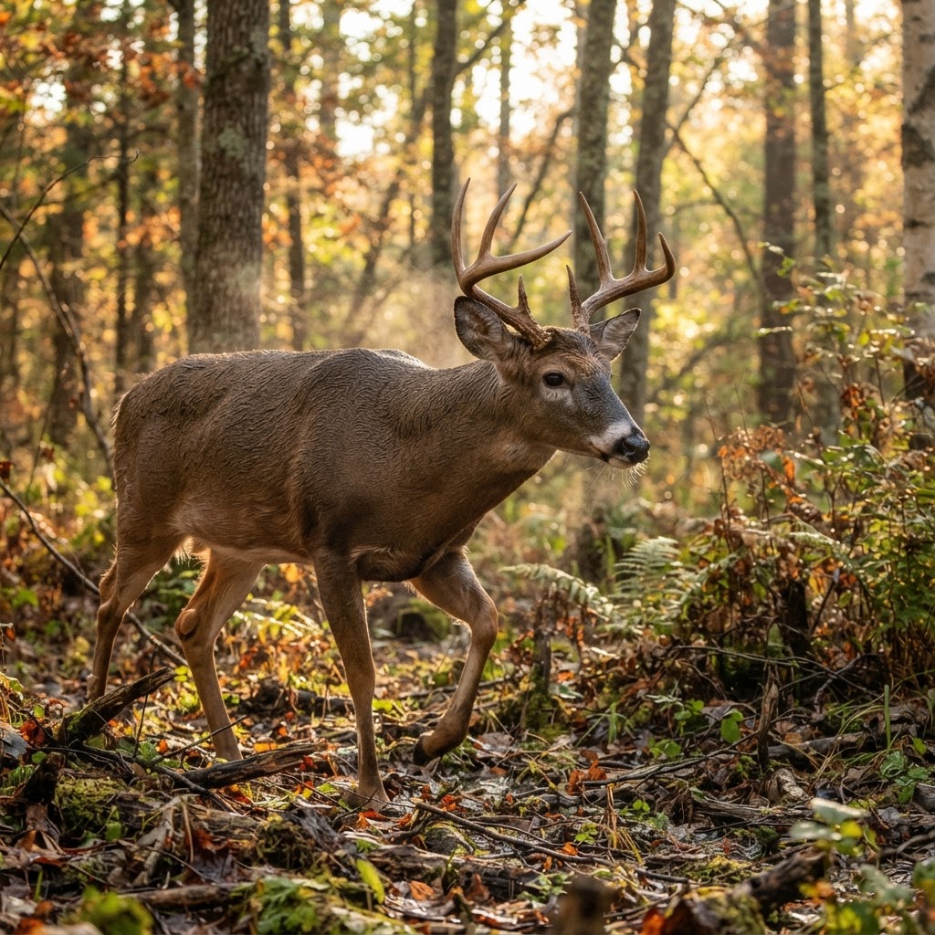
Automating Your Scouting: Using AI to Solve the Trail Camera Overload Problem
Is your SD card overflowing with thousands of empty shots and unwanted photos? Learn how to use AI-driven analysis to instantly categorize your trail camera images and pinpoint deer movement patterns.
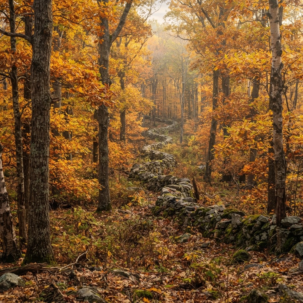
The Nutmeg State Pursuit: A Strategic Guide to Connecticut Hunting
Connecticut offers surprisingly rich hunting opportunities for those willing to navigate its unique public landscapes and dense hardwoods. Discover the tactics you need to succeed in the heart of New England.
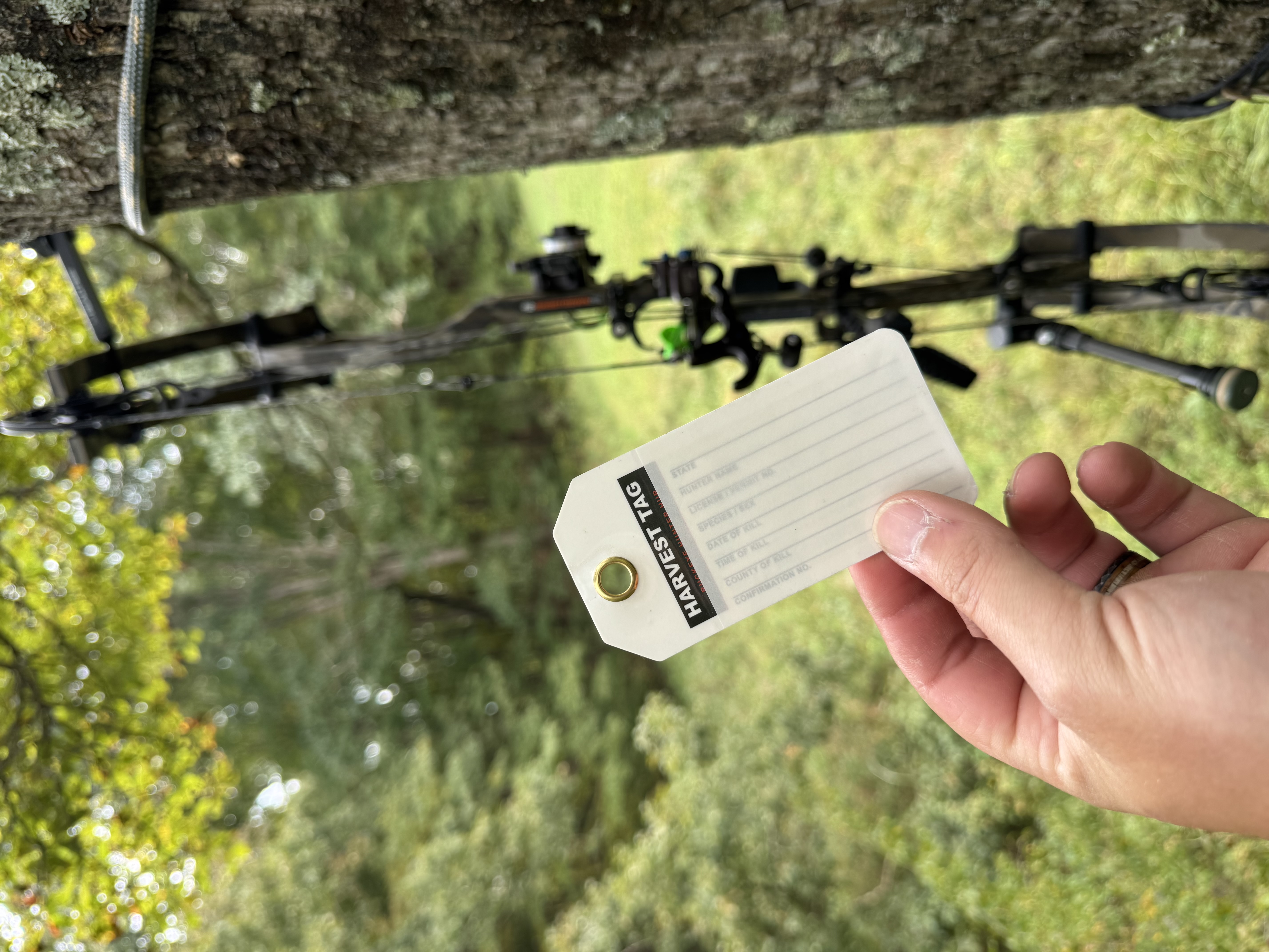
Review: Harvest Tags — 5-Pack for Serious Hunters
Looking for durable, reliable tagging for your next hunt? We put the Harvest Tags — 5-Pack to the test to see if they hold up in the field.