
Pinpointing Success: Organizing Your Season with Buckeye Hunter Hub Waypoints
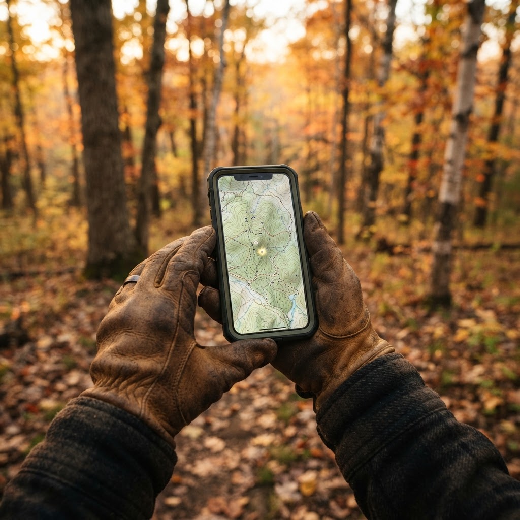
From Guesswork to Precision Scouting
Every seasoned hunter knows that the difference between a successful harvest and a long, cold walk often comes down to preparation. We have all been there—trudging through the brush with nothing but a mental note of where that promising buck rub was located, only to find yourself disoriented when the sun starts to dip. Relying on memory in the field is a recipe for frustration. Instead, smart scouting requires a digital tether that keeps your observations organized and accessible.
Free hunting map, zones & 50-state resources
Save your spots, share zones with your group, and get deer & waterfowl movement forecasts — free.
At Buckeye Hunter Hub, we believe that technology should be an extension of your woodsmanship, not a distraction from it. By leveraging our , you can move beyond simple observation and start building a spatial history of your hunting grounds. Whether you are tracking the shift in deer movement or simply trying to remember which tree held your climber last October, marking precise waypoints is the ultimate tool for reclaiming your focus in the woods.
The Power of Digital Waypoints
A waypoint is more than just a dot on a screen; it is a piece of intelligence. When you drop a pin on a trail camera location, a fresh scrape, or your favorite ladder stand, you are creating a historical record. Over time, these pins reveal patterns that would otherwise remain hidden. You might notice that your target buck only visits a specific water source when the wind is blowing from the west, or that a particular pinch point produces action only during the pre-rut. By visualising these encounters on our map, you stop guessing and start anticipating.
Step-by-Step: Mastering Waypoints in Buckeye Hunter Hub
Getting started with our mapping tools is designed to be intuitive so you can spend less time looking at your phone and more time scanning the horizon. Follow this simple workflow to get your season organized:
1. Identify Your Point of Interest
Whether you are standing in the field or analyzing satellite imagery from your couch, pinpoint the location where you spotted sign or where you intend to place equipment. Zoom in close to ensure your placement is accurate to the terrain features, such as a specific creek bend or a ridge transition.
2. Place Your Marker
Utilize the marker tool to drop a waypoint. When the pin is placed, our system allows you to categorize it. We recommend using distinct icons or labels for different types of intelligence. For example, use a specific marker for permanent stands, another for mobile blinds, and a third for trail camera sites.
3. Add Contextual Notes
This is where the magic happens. Don't just mark the spot—describe it. Did you see fresh scat? What was the wind direction at the time? Is the trail camera battery status low? Adding these brief notes transforms a static point into a living logbook. You can even cross-reference your findings with if you are uploading photos to see if the deer traffic matches your expectations.
E-Tag States

Harvest Tags
E-check means you supply the tag. Printed with the exact fields your state requires.
3-pack $22.95
4. Regularly Audit Your Map
Throughout the season, update your waypoints. If you pull a camera because the movement died out, don’t leave the pin active. Mark it as 'archived' or 'inactive' so you aren't looking at outdated data when planning next year’s setup. Keeping your map clean is just as important as keeping your stand quiet.
Connecting the Dots: Analyzing Movement Patterns
Once you have several waypoints populated across your property, start looking for connections. When you layer your stand locations over your trail camera sightings, you will often find that the 'hidden' routes deer take become visible. It’s like putting together a puzzle.
Raise a safe, confident young hunter.
Guide your kids ages 5–17 through interactive hunting safety missions, real decision drills, and earned trophies — all from one free parent account.
Bonus: every $10 you spend in the BHH shop earns a free seat (up to 5). Use them or share them.




If you find that your cameras are capturing movement that you aren't seeing from your stand, it might be time to move your position based on the terrain features marked on your map. For hunters interested in the science behind these movements, diving into can help explain why those specific waypoints are seeing activity at certain times of the day or year. Using this data-driven approach allows you to place yourself exactly where the game needs to be, rather than just where you hope they might show up.
Scouting Smarter, Not Harder
Ultimately, digital mapping is about efficiency. When you know exactly where your gear is and what the sign tells you about that specific location, you enter the woods with a game plan. You waste less time searching, you create less scent disturbance by moving directly to your intended spots, and you maximize your effective time in the stand.
Whether you are hunting public land or a private lease, having a clear digital map helps you navigate unfamiliar terrain with confidence. Remember to check your frequently for any updates to access points or regulations, and keep your map updated to reflect those changes.
By treating your scouting data with the same care as your weapon or bow, you elevate your entire hunting experience. Open up your Buckeye Hunter Hub map today, start dropping those pins, and begin building the intelligence that will lead you to your next successful harvest.
Join 553 hunters and anglers on Buckeye Hunter Hub — free.
Latest from the Community


New drop
Fresh Buckeye Hunter Hub tees & hoodies


Everything you need to hunt smarter — free
Buckeye Hunter Hub is a free, nationwide platform. Create an account and unlock the full toolkit:
Free Interactive Hunting Map
Mark stands, cameras, and sign. Draw hunting zones with public land & county overlays across all 50 states.
Zones with Group Sharing
Share zones with your hunting group, split property into sections, assign stands, and check in — all in one place.
50 States of Hunting Resources
Season dates, license links, and DNR regulations for every state, kept current so you never miss an opener.
Deer Movement Forecast
Data-driven daily movement predictions using wind, moon, and pressure — know when to sit before you go.
Waterfowl Movement & Tools
Flight-potential forecasts, migration numbers, decoy spread planner, and a full species field guide.
From the Maker Bench

SE Ohio Outdoors
Euro Mount Hook
Hand-built in the USA · $8.00
Shop the MakerNew drop
Fresh Buckeye Hunter Hub tees & hoodies
Shop This

StopBox Pro Ward | Wall-Mounted
$179.00$199.99

StopBox Pro Compact
$159.00$179.99

BHH Grit Whitetail Tee
$20.55

Buckeye Hunter Hub Hoodie — Woodie
$32.87
E-Tag States
Harvest Tags
E-check means you supply the tag. Printed with the exact fields your state requires.
3-pack $22.95
More Articles

Level Up Your Range Day: The StopBox Advantage
Take your firearm training to the next level with the StopBox quick-access system, designed for rapid, reliable deployment at the range or at home.

The Pine Tree State Prospectus: A Tactical Guide to Maine Public Land Hunting
From the sprawling northern forests to the rugged coastal interior, Maine offers millions of acres of public-access terrain for the dedicated hunter. Discover how to navigate the Pine Tree State’s vast wilderness and secure your next big game pursuit.

Scaling Your Inventory: Join the Buckeye Hunter Hub StopBox Retail Partner Program
Expand your storefront's defensive storage offerings with the Buckeye Hunter Hub wholesale program, providing authorized access to premium StopBox products with protected margins and free freight.
Finding Your Tribe: Maximizing Impact Within the Buckeye Hunter Hub Community
Discover how engaging with specialized hunting groups can sharpen your tactical edge, provide local intel, and connect you with a lifetime of field expertise.