Mastering Your Woods: How to Use Buckeye Hunter Hub for Precise Stand and Trail Cam Mapping
Scouting Smarter, Not Harder
Every successful season begins long before the first frost. While glassing fields and walking fence lines remain essential, the most effective hunters are the ones who can organize that data into a cohesive strategy. If you are still relying on mental notes or paper maps that get soggy in your pocket, it is time for a digital upgrade. Using the on the Buckeye Hunter Hub allows you to transition from random encounters to intentional, high-percentage harvest opportunities.
Free hunting map, zones & 50-state resources
Save your spots, share zones with your group, and get deer & waterfowl movement forecasts — free.
By systematically marking your stands, blinds, and trail cameras, you create a spatial story of your hunting property. You can identify travel corridors, bedding areas, and pinch points that are otherwise invisible from the ground. In this guide, we will walk through how to digitize your scouting efforts so you can spend less time guessing and more time in the right spot.
Why Precision Mapping Matters
Mapping your gear is about more than just finding your way back to a tree stand in the dark. It is about understanding the landscape. When you plot your trail cameras on an interactive map, you can begin to see patterns in how deer navigate specific terrain features like drainages, saddles, or thickets. This spatial awareness is the foundation of understanding .
When you know exactly where your cameras are in relation to your stands, you can refine your entry and exit routes to minimize scent dispersion. If you find that a particular camera is capturing mature bucks only during certain wind conditions, you can cross-reference that with your stand locations to ensure you are positioned to capitalize on those movements without spooking the herd.
Step-by-Step: Marking Your Gear on Buckeye Hunter Hub
Getting started with the mapping feature on the Buckeye Hunter Hub is intuitive and designed for field use. Follow these steps to build your scouting database:
1. Identify Your Strategy
Before you drop a single pin, take a moment to review the terrain via satellite imagery on the map. Look for obvious funnels—areas where vegetation or topography forces deer into a narrow path. These are your primary candidates for stand placements and trail camera arrays.
2. Dropping Waypoints
Once you have selected a location on the map, click or tap the 'Add Waypoint' button. You will be prompted to choose a category. We recommend using distinct icons for your gear: use one symbol for 'Fixed Stand,' another for 'Ground Blind,' and a specific marker for 'Trail Camera.' Categorizing your waypoints allows you to toggle layers on and off, keeping your view clear.
3. Adding Descriptive Notes
Do not stop at just dropping a pin. Each waypoint on the Buckeye Hunter Hub allows for custom notes. Use this space to record the specifics of the setup: '15 feet high, oak tree, best with North wind' or 'Camera pointing at scrape line.' These details are invaluable when you are planning your hunts throughout the season or referencing your notes from during the off-season.
Washington · E-Tag State

Washington Harvest Tags
E-check means you supply the tag. Printed with the exact fields Washington requires.
3-pack $22.95
4. Refining Your Network
As the season progresses, move your pins as necessary. If a camera isn't picking up action, relocate it and update the waypoint on your map. Your digital map should be a living document that evolves based on real-world data and patterns. This iterative approach turns your hunting land into a managed habitat strategy rather than a series of disconnected locations.
Optimizing Your Hunt Layout
Once your gear is mapped, the real work begins. Start looking for clusters of activity. If you notice all your trail cameras are positioned on the perimeter of a block of timber, consider adding a few 'scouting' cameras closer to the bedding areas to see what is happening during the mid-day hours.
Raise a safe, confident young hunter.
Guide your kids ages 5–17 through interactive hunting safety missions, real decision drills, and earned trophies — all from one free parent account.
Bonus: every $10 you spend in the BHH shop earns a free seat (up to 5). Use them or share them.



By leveraging the , you can also plan your 'set rotation.' If you hunt the same stand two days in a row, you are likely burning it out. By mapping out a network of stands that account for different wind directions, you ensure that you always have an option to hunt a location without being detected.
Connecting with the Community
Mapping is an individual effort, but the knowledge shared by others can be just as powerful. After you have refined your mapping process, consider checking out the on our platform. Many successful hunters share tips on how they interpret topographical maps to find hidden ridges and valleys. While you should keep the specific locations of your secret honey holes private, discussing general mapping tactics can help you gain a broader perspective on how local deer populations move through different types of cover.
Final Thoughts on Digital Scouting
The goal of using the Buckeye Hunter Hub is to simplify your hunting process so you can focus on the woodsmanship that actually matters. By taking the time to map your gear, you remove the chaos from your scouting routine. You no longer have to wonder if your stand is too close to a known bedding area or if your camera is covering the correct trail—it is all there in front of you, organized and ready for the next hunt.
Remember to pair your digital mapping with regular updates from to ensure your gear placements and hunting schedules remain compliant with current local regulations. Success in the field is rarely an accident; it is the result of careful planning, consistent observation, and the right tools to make sense of the landscape. Happy hunting.
Join 894 hunters and anglers on Buckeye Hunter Hub — free.
Latest from the Community


Preorder · 13 days left
Buckeye Hunter Hub Camo Trucker Hat — Treeline Logo
Includes 50% off Lifetime Pro
Everything you need to hunt smarter — free
Buckeye Hunter Hub is a free, nationwide platform. Create an account and unlock the full toolkit:
Free Interactive Hunting Map
Mark stands, cameras, and sign. Draw hunting zones with public land & county overlays across all 50 states.
Zones with Group Sharing
Share zones with your hunting group, split property into sections, assign stands, and check in — all in one place.
50 States of Hunting Resources
Season dates, license links, and DNR regulations for every state, kept current so you never miss an opener.
Deer Movement Forecast
Data-driven daily movement predictions using wind, moon, and pressure — know when to sit before you go.
Waterfowl Movement & Tools
Flight-potential forecasts, migration numbers, decoy spread planner, and a full species field guide.
From the Maker Bench

SE Ohio Outdoors
Euro Mount Hook
Hand-built in the USA · $8.00
Shop the MakerBHH Partner

Firearms, ammo and gear from a local Ohio shop in Grafton. Stop in before the season.
dnaarmory.comShop This

StopBox Pro Ward | Wall-Mounted
$179.00$199.99

StopBox Pro Compact
$159.00$179.99

BHH Blackwood Camo Tee
$29.31

BHH Ember Camo Tee
$29.31
Washington · E-Tag State
Washington Harvest Tags
E-check means you supply the tag. Printed with the exact fields Washington requires.
3-pack $22.95
More Articles
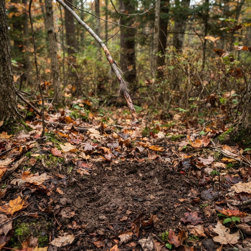
Deciphering the Whitetail Trail: A Practitioner’s Guide to Ground Sign
Mastering the language of the woods requires more than just luck; it requires reading the subtle messages left by the deer themselves. Learn how to interpret rubs, scrapes, and bedding areas to elevate your season.
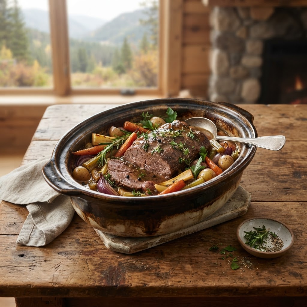
The Art of the Slow-Cooked Elk Roast: Tenderizing Your Hard-Won Harvest
Transforming a lean elk roast into a melt-in-your-mouth masterpiece is easier than you think when you master the balance of time, temperature, and moisture.
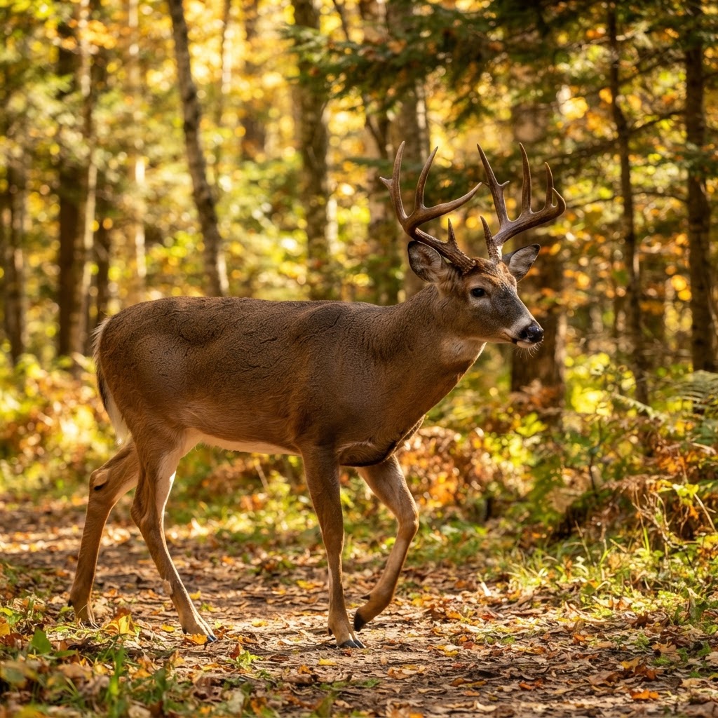
From Chaos to Clarity: Sorting Your Trail Cam Intel
Drowning in thousands of trail camera images? Learn how to stop manual sorting and start building a real-time intel network on your property.
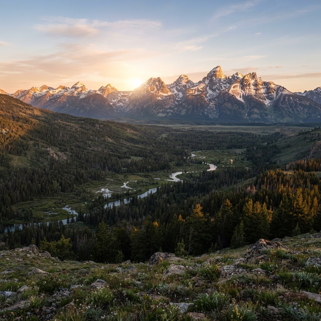
High Country Tactics: Mastering Colorado Public Land Hunting
Colorado’s rugged peaks and vast public expanses offer a lifetime of adventure, but success requires more than just a tag. Learn how to navigate the unique challenges of the Rockies with these expert field strategies.