
Mastering Your Scouting: How to Use Buckeye Hunter Hub to Mark Waypoints
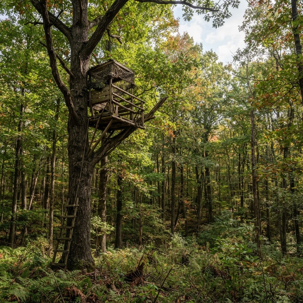
Scouting Smarter, Not Harder
Successful hunting is rarely about luck; it is about preparation. Whether you are chasing whitetail in the Midwest or elk in the high country, your ability to understand the lay of the land dictates your success rate. One of the most effective ways to sharpen your tactical approach is by using digital mapping tools to organize your terrain. With the Buckeye Hunter Hub , you can move beyond memory and start building a visual strategy that evolves with the season.
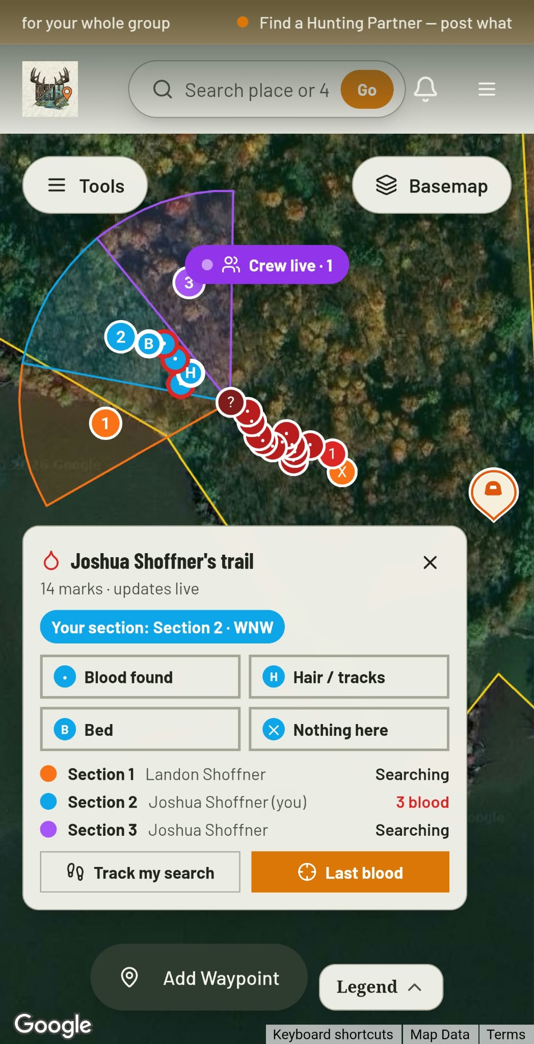
Blood Trail + Search Grid · Free
Hit one? Call in the crew.
Give every buddy a search section and see each drop they find, live.
See how it worksThe Power of Digital Waypoints
Think of your hunting property as a chess board. If you do not know where your pieces are—your stands, your ground blinds, and your trail cameras—you are playing at a disadvantage. Digital waypoints allow you to document the exact location of high-traffic areas, transition zones, and potential bottlenecks. When you use the Buckeye Hunter Hub to mark these locations, you are creating a permanent record that you can reference throughout the year, helping you adjust your strategy as the deer rut progresses or the seasons shift.
Step-by-Step: Marking Your Locations
Getting started with our mapping tool is intuitive. Follow these steps to begin building your custom property map:
- Log In and Locate: Sign into your Buckeye Hunter Hub account and navigate to the map interface. Use the zoom and pan tools to center the view on your specific hunting property.
- Select the Pin Tool: Look for the waypoint or 'pin' icon in your toolbar. This is your primary tool for marking specific points of interest.
- Choose Your Category: When you drop a pin, categorize it clearly. We recommend using labels like 'Stand - North Wind,' 'Camera - Creek Crossing,' or 'Bedding Area.' This makes filtering your map much easier when you are planning your next morning hunt.
- Add Descriptive Notes: This is where the magic happens. Don't just mark a 'stand.' Add a note about which wind direction it covers, or how many hunters the stand can accommodate. If you’re marking a camera, note the date you last checked it or the battery status.
- Save and Sync: Ensure your changes are saved. The best part about using our platform is that your data is synced across your devices, meaning you can pull up your map on your phone while standing in the woods to confirm you are in the right spot.
Using Waypoints to Analyze Movement
Once you have your stands and cameras marked, you can start to see the 'big picture.' Are your trail cameras showing movement at specific times of the day? Compare that data with the to see if local deer activity aligns with weather-driven behavioral patterns. When you correlate the physical location of your stands with known movement trends, you move from just 'hanging and hoping' to hunting with purpose.
E-Tag States

Harvest Tags
E-check means you supply the tag. Printed with the exact fields your state requires.
3-pack $19.95
Why Detailed Mapping Matters
Consistency is the hallmark of a veteran hunter. By maintaining a clean, updated map, you can track which stands are becoming 'burned out' due to over-hunting and which areas remain 'cold'—unvisited by human scent. If you notice that a specific trail camera has not seen a buck in three weeks, your map will help you identify the next logical transition point to move that camera to. This proactive approach saves you time and minimizes the human intrusion that often pushes big game off private land.
Integrating Data for a Better Season
Raise a safe, confident young hunter.
Guide your kids ages 5–17 through interactive hunting safety missions, real decision drills, and earned trophies — all from one free parent account.




Strategic scouting is a year-round commitment. Outside of the active season, use the offseason to clean up your pins. Remove old stands that are no longer safe, rename areas based on changing land management practices, and refine your approach to by observing how topography affects travel routes.
Remember, your map is a living document. The landscape changes—creeks shift after a heavy spring rain, and timber growth can block a shooting lane. By consistently updating your waypoints, you ensure that when opening day arrives, you are relying on accurate, current intelligence rather than a map from three years ago.
Final Thoughts on Mapping
Technology is only as good as the hunter using it. Use the Buckeye Hunter Hub to augment your instincts, not replace them. When you combine local knowledge, hours in the field, and precise digital mapping, you significantly increase your odds of a successful hunt. Take a moment this weekend to log in, clear out your old pins, and get your map ready for the upcoming season. If you are ever unsure about regulations in your specific area, be sure to cross-reference your site data with your to ensure total compliance while you plan your strategy.
Free hunting map, zones & 50-state resources
Save your spots, share zones with your group, and get deer & waterfowl movement forecasts — free.
Join 265 hunters and anglers on Buckeye Hunter Hub — free.
Latest from the Community



New drop
Fresh Buckeye Hunter Hub tees & hoodies


Everything you need to hunt smarter — free
Buckeye Hunter Hub is a free, nationwide platform. Create an account and unlock the full toolkit:
Free Interactive Hunting Map
Mark stands, cameras, and sign. Draw hunting zones with public land & county overlays across all 50 states.
Zones with Group Sharing
Share zones with your hunting group, split property into sections, assign stands, and check in — all in one place.
50 States of Hunting Resources
Season dates, license links, and DNR regulations for every state, kept current so you never miss an opener.
Deer Movement Forecast
Data-driven daily movement predictions using wind, moon, and pressure — know when to sit before you go.
Waterfowl Movement & Tools
Flight-potential forecasts, migration numbers, decoy spread planner, and a full species field guide.
From the Maker Bench

Taggart Outdoors
Padded Rifle Sling
Hand-built in the USA · $134.99
Shop the MakerNew drop
Fresh Buckeye Hunter Hub tees & hoodies
Shop This

StopBox Pro Ward | Wall-Mounted
$179.00$199.99

StopBox Pro Compact
$159.00$179.99

Buckeye Hunter Hub Tee — No Tag Left Behind
$20.55

Buckeye Hunter Hub Hoodie — No Tag Left Behind
$32.87
E-Tag States
Harvest Tags
E-check means you supply the tag. Printed with the exact fields your state requires.
3-pack $19.95
More Articles
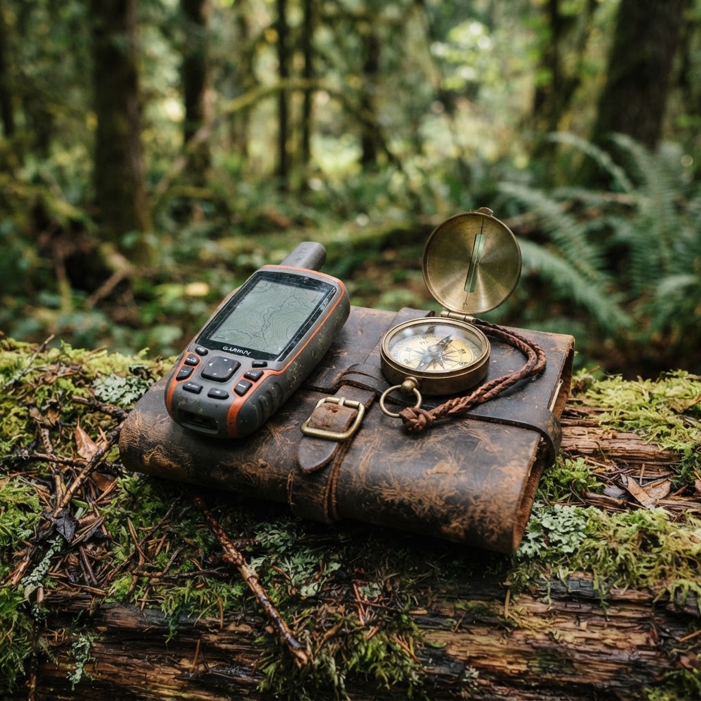
Precision Scouting: Mapping Your Setup for a More Efficient Season
Stop wandering the woods aimlessly and start hunting with purpose by mastering waypoint management for your gear and observations.

Data-Driven Scouting: Leveraging AI for Intelligent Deer Analysis
Tired of sorting through thousands of empty trail camera frames? Discover how to use automated AI analysis to pinpoint deer movement, categorize bucks, and reclaim your scouting time.
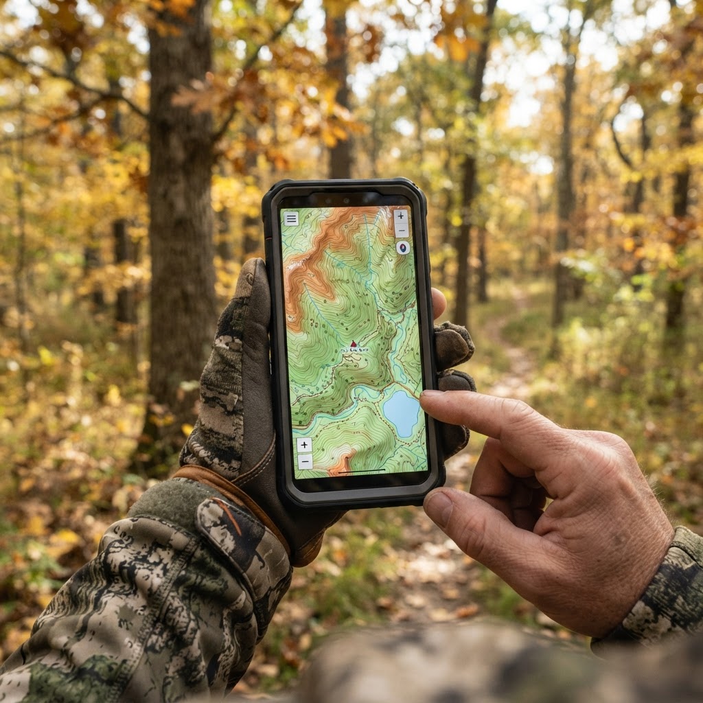
Digital Precision: Mastering Waypoint Management for Better Scouting
Take the guesswork out of your next hunt by learning to organize your stands, blinds, and trail cameras using digital mapping tools.
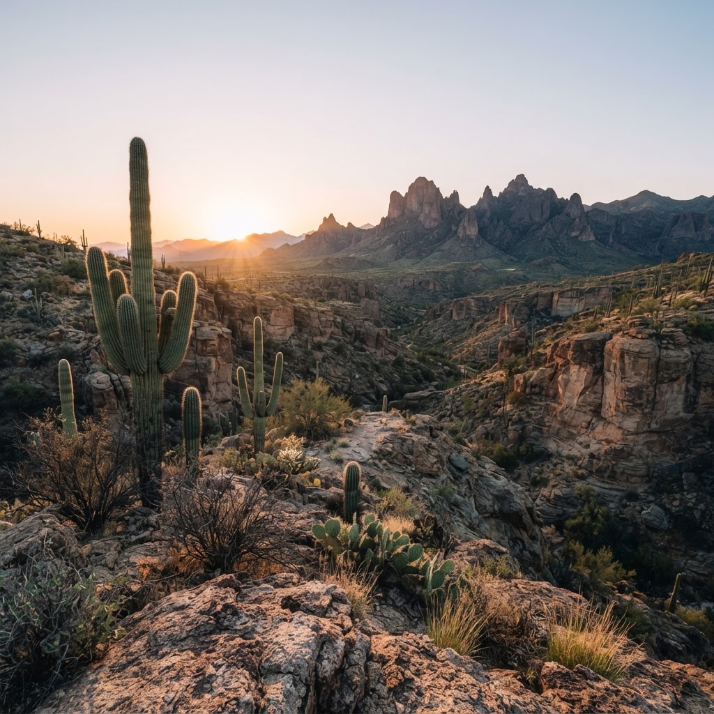
Desert Pursuits: A Comprehensive Guide to Arizona Big Game Hunting
From the high-country pines to the cactus-studded basins, Arizona offers some of the most challenging and rewarding hunting experiences in the American Southwest.