Mastering Your Scouting: How to Mark Waypoints on Buckeye Hunter Hub
Elevating Your Scouting Game with Precision Mapping
Every successful season begins long before the first shot is fired. For the modern hunter, the difference between tagging out and coming home empty-handed often comes down to preparation and site management. Whether you are managing a large tract of private land or navigating expansive public timber, keeping track of your equipment is vital. This is where mastering the waypoint feature within becomes a game-changer.
Free hunting map, zones & 50-state resources
Save your spots, share zones with your group, and get deer & waterfowl movement forecasts — free.
At Buckeye Hunter Hub, we believe that data-driven scouting is the most effective way to understand deer behavior. By accurately marking your stands, blinds, and trail cameras, you stop relying on memory and start building a digital history of your hunting area. This guide will walk you through the process of setting waypoints effectively so you can focus on the hunt, not the search.
Why Waypoints Matter
If you have ever spent an hour wandering through a thicket trying to relocate a trail camera or realized your treestand is forty yards off-center, you understand the frustration of poor site planning. Waypoints aren't just pins on a screen; they are a blueprint of your hunting strategy. When you consistently log the exact GPS coordinates of your setups, you can:
- Track Trends: See how movement patterns change relative to your stand locations over several seasons.
- Optimize Routes: Determine the quietest, most scent-free approach to your blinds based on wind direction and terrain.
- Manage Equipment: Keep a digital inventory of where your trail cameras are located and when they need their batteries changed.
Step-by-Step: Adding Waypoints in Buckeye Hunter Hub
Getting started with our interactive interface is intuitive, designed specifically for hunters who need quick results in the field or at the kitchen table. Follow these steps to begin populating your map:
1. Log In and Locate Your Property
Navigate to your dashboard and open the . Use the zoom function to center the view on your specific hunting property. You can toggle between satellite, topographic, and hybrid views to get a better sense of the terrain. Identifying pinch points, bedding areas, and food sources on the map is the first step toward effective placement.
2. Selecting the Waypoint Tool
Once you have found the specific location on the map, look for the 'Add Waypoint' icon in your sidebar menu. Clicking this will turn your cursor into a precise placement tool. You can now drop a pin directly onto the satellite imagery. Try to place it as accurately as possible—don't be afraid to zoom in all the way to get that pin exactly on the tree or the specific trail intersection.
3. Categorizing Your Pins
Don’t just drop a generic dot. Use our category system to label your markers. We offer specific icons for:
- Treestands: Essential for remembering which stand to grab for specific wind directions.
- Ground Blinds: Perfect for marking temporary setups.
- Trail Cameras: Crucial for monitoring equipment status.
- Sign/Scraping: Mark rubs, scrapes, or heavy bedding areas to visualize buck movement corridors.
E-Tag States

Harvest Tags
E-check means you supply the tag. Printed with the exact fields your state requires.
3-pack $22.95
By labeling these clearly, you can filter your map later to show only 'Trail Cameras' or only 'Stands,' keeping your view uncluttered when you are planning your next outing.
4. Adding Notes and Details
Each waypoint allows for custom notes. This is where the real scouting happens. Record the tree type, the camera serial number, or the date you last refreshed the mineral lick. If you are tracking deer movement, pair this data with information from our . By understanding , you can adjust your stand locations based on forecasted peak activity, ensuring you are in the right tree when the bucks are on their feet.
Integrating Data for Strategic Scouting
Raise a safe, confident young hunter.
Guide your kids ages 5–17 through interactive hunting safety missions, real decision drills, and earned trophies — all from one free parent account.
Bonus: every $10 you spend in the BHH shop earns a free seat (up to 5). Use them or share them.



Once you have built a network of waypoints, you can start to see the forest for the trees—literally. If you notice that multiple trail cameras are recording photos of a target buck at different times, draw a line between those waypoints. Often, this reveals a hidden travel corridor that is not immediately obvious from the ground.
Furthermore, when you combine these waypoints with , you can ensure that your setup complies with local regulations regarding baiting or permanent stand placement. We always encourage hunters to double-check their local DNR guidelines before setting up fixed positions.
Final Tips for Success
- Be Descriptive: When naming your waypoints, use a consistent naming convention (e.g., 'Stand_North_Oak_01'). This makes searching for specific data points much easier in the off-season.
- Review Regularly: Spend time in the mid-season reviewing your map. If a stand hasn't yielded activity in two weeks, don't be afraid to move your waypoint and your gear to a new pinch point.
- Stay Organized: Consistency is key. If you set it, mark it. If you move it, update it.
By treating your scouting map as a living document, you shift from being a reactive hunter to a proactive one. Buckeye Hunter Hub is here to provide the tools, but your experience and observations on the land are the true secrets to success. Happy scouting!
Join 901 hunters and anglers on Buckeye Hunter Hub — free.
Latest from the Community


Preorder · 13 days left
Buckeye Hunter Hub Camo Trucker Hat — Treeline Logo
Includes 50% off Lifetime Pro
Everything you need to hunt smarter — free
Buckeye Hunter Hub is a free, nationwide platform. Create an account and unlock the full toolkit:
Free Interactive Hunting Map
Mark stands, cameras, and sign. Draw hunting zones with public land & county overlays across all 50 states.
Zones with Group Sharing
Share zones with your hunting group, split property into sections, assign stands, and check in — all in one place.
50 States of Hunting Resources
Season dates, license links, and DNR regulations for every state, kept current so you never miss an opener.
Deer Movement Forecast
Data-driven daily movement predictions using wind, moon, and pressure — know when to sit before you go.
Waterfowl Movement & Tools
Flight-potential forecasts, migration numbers, decoy spread planner, and a full species field guide.
From the Maker Bench

SE Ohio Outdoors
Euro Mount Hook
Hand-built in the USA · $8.00
Shop the MakerFriend of BHH
Thinking about selling a rifle or an old family shotgun? Check up-to-date market pricing by make and model before you sell.
webuyguns.comShop This

StopBox Pro Ward | Wall-Mounted
$179.00$199.99

StopBox Pro Compact
$159.00$179.99

BHH Blackwood Camo Tee
$29.31

BHH Ember Camo Tee
$29.31
E-Tag States
Harvest Tags
E-check means you supply the tag. Printed with the exact fields your state requires.
3-pack $22.95
More Articles
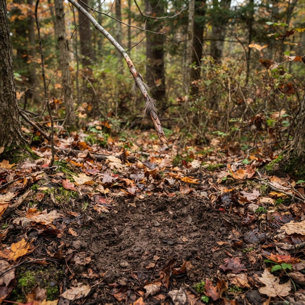
Deciphering the Whitetail Trail: A Practitioner’s Guide to Ground Sign
Mastering the language of the woods requires more than just luck; it requires reading the subtle messages left by the deer themselves. Learn how to interpret rubs, scrapes, and bedding areas to elevate your season.
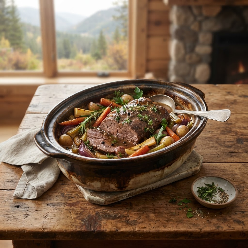
The Art of the Slow-Cooked Elk Roast: Tenderizing Your Hard-Won Harvest
Transforming a lean elk roast into a melt-in-your-mouth masterpiece is easier than you think when you master the balance of time, temperature, and moisture.
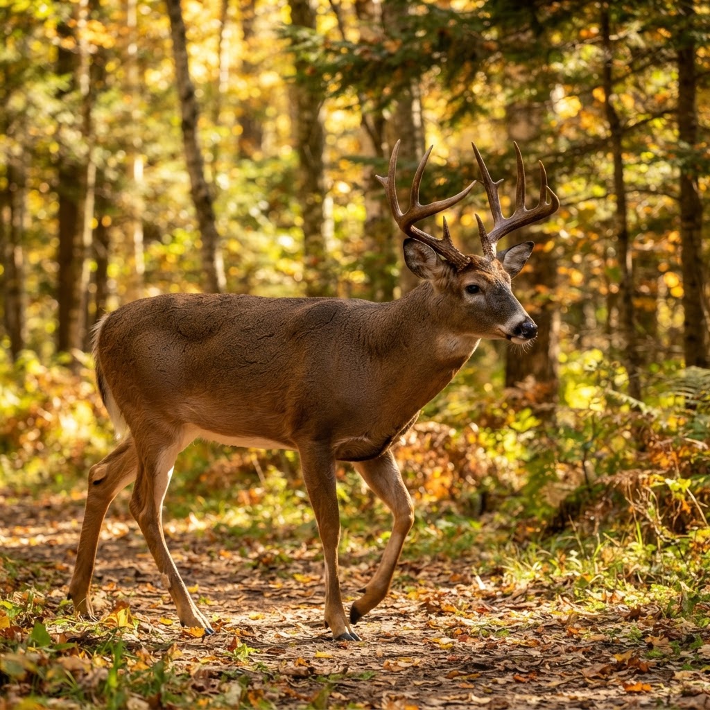
From Chaos to Clarity: Sorting Your Trail Cam Intel
Drowning in thousands of trail camera images? Learn how to stop manual sorting and start building a real-time intel network on your property.
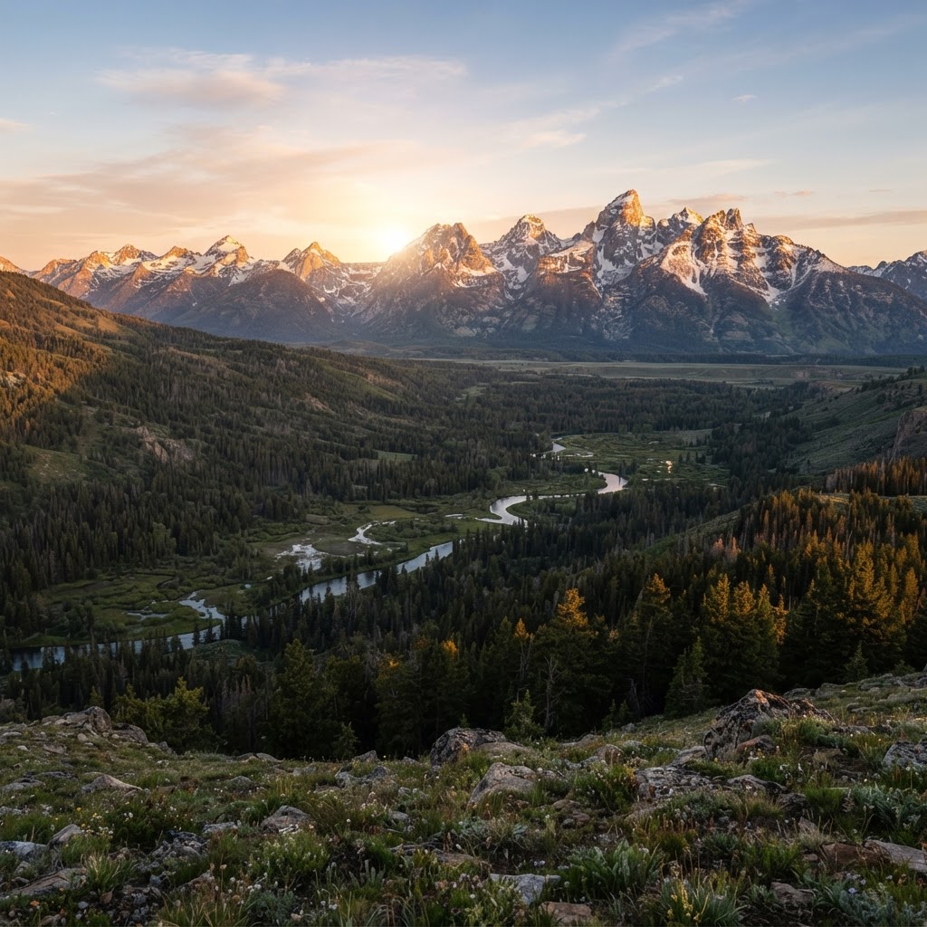
High Country Tactics: Mastering Colorado Public Land Hunting
Colorado’s rugged peaks and vast public expanses offer a lifetime of adventure, but success requires more than just a tag. Learn how to navigate the unique challenges of the Rockies with these expert field strategies.