Mastering Your Scouting: How to Mark Waypoints on Buckeye Hunter Hub
Precision Scouting: The Key to Consistent Success
Every serious hunter knows that the difference between a successful season and a series of empty tags often comes down to preparation. In the modern era, scouting doesn't just happen in the woods; it happens on your screen. By leveraging digital tools, you can analyze terrain, identify pinch points, and track your equipment placement without stepping foot on your hunting property and spooking the local herd. The available on Buckeye Hunter Hub provide a comprehensive, bird’s-eye view of your landscape, turning raw data into a strategic game plan.
Free hunting map, zones & 50-state resources
Save your spots, share zones with your group, and get deer & waterfowl movement forecasts — free.
Why Waypoints Matter
Whether you are hunting a sprawling lease or a small private woodlot, memory is an unreliable partner. Trying to remember exactly where that one trail camera is located or how a specific stand relates to a transition zone often leads to confusion. Marking waypoints is about creating a historical record of your hunting environment. It allows you to visualize your approach routes, wind directions, and the spatial relationship between your hunting gear and natural deer bedding or feeding areas.
Step 1: Accessing Your Hunting Map
To begin, log into your Buckeye Hunter Hub account and navigate to our . Ensure your location services are enabled if you are in the field, or simply zoom into your specific property using the search bar if you are planning from home. Our map interface is designed for high-resolution clarity, giving you an accurate look at topographic lines, satellite imagery, and public land boundaries.
Step 2: Pinning Your Stands and Blinds
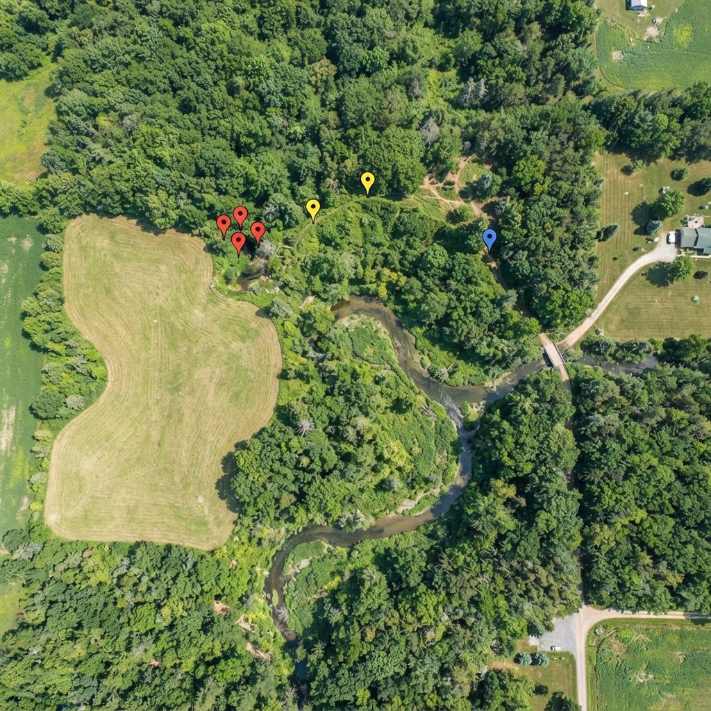
Once you have found your property, it is time to mark your setup locations. To create a waypoint, select the 'Add Marker' tool from the sidebar. Click exactly where your tree stand or ground blind is located. A prompt will appear allowing you to name the marker and choose an icon. I highly recommend color-coding your markers—perhaps blue for tree stands and yellow for ground blinds.
Beyond just dropping a pin, use the notes section to record essential details. Include the tree species you are hunting from, the height of the stand, and the primary wind directions that make that setup huntable. This level of detail transforms your map from a simple location tracker into a sophisticated tactical asset.
Step 3: Tracking Trail Camera Locations
E-Tag States

Harvest Tags
E-check means you supply the tag. Printed with the exact fields your state requires.
3-pack $22.95
Trail cameras are the eyes of the woods, but they are only useful if you know exactly where they are sitting. By dropping a waypoint for each camera, you can look at the overall distribution of your surveillance. Are your cameras clustered too close together, or do you have a massive gap in your coverage? Marking them on the Buckeye Hunter Hub map helps you optimize your strategy for the . By understanding how deer traverse the area between cameras, you can adjust your setups based on to better predict when the big bucks are moving through your corridor.
Scouting Smarter, Not Harder
Using waypoints allows you to layer information. If you notice on your map that a specific trail camera consistently triggers at sunrise, look at your marked stand locations. Are you positioned to catch that deer before or after it reaches the camera?
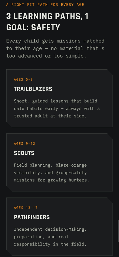
Raise a safe, confident young hunter.
Guide your kids ages 5–17 through interactive hunting safety missions, real decision drills, and earned trophies — all from one free parent account.
Bonus: every $10 you spend in the BHH shop earns a free seat (up to 5). Use them or share them.



By keeping your scouting digital, you reduce human scent and physical pressure on your hunting grounds. This is particularly crucial during the pre-rut and early season. Walking in to check a camera every few days can push mature bucks into the next county. When you mark your waypoints, you can plan your route to approach from downwind, ensuring that even when you do need to perform maintenance or switch SD cards, you aren't blowing your cover.
Integrating Data for a Better Season
Once your waypoints are established, you can cross-reference them with other tools on the site. If the forecast suggests a strong cold front, check your and your map. Decide which stand location offers the best protection from the coming north wind. Having your gear locations mapped out ahead of time means that when the weather turns, you aren't wasting time deciding where to go—you are already walking to the spot where the data says you have the highest probability of success.
Final Thoughts on Digital Preparation
Technology is only as good as the hunter using it. Remember that while your Buckeye Hunter Hub map is a powerful tool, it should be used in conjunction with on-the-ground observations. Use the map to build your hypotheses about deer behavior, then use your time in the woods to verify those findings. If a stand location isn't producing, don't be afraid to delete the waypoint and shift your strategy based on what you actually see during the season.
By investing a little time in digital scouting now, you save hours of frustration later. Start mapping your property today, and you will find that as your data grows, so does your confidence in the field. If you run into questions while planning your season, feel free to check out our to see how other hunters are utilizing their mapping strategies to find success this year.
Join 736 hunters and anglers on Buckeye Hunter Hub — free.
Latest from the Community


Everything you need to hunt smarter — free
Buckeye Hunter Hub is a free, nationwide platform. Create an account and unlock the full toolkit:
Free Interactive Hunting Map
Mark stands, cameras, and sign. Draw hunting zones with public land & county overlays across all 50 states.
Zones with Group Sharing
Share zones with your hunting group, split property into sections, assign stands, and check in — all in one place.
50 States of Hunting Resources
Season dates, license links, and DNR regulations for every state, kept current so you never miss an opener.
Deer Movement Forecast
Data-driven daily movement predictions using wind, moon, and pressure — know when to sit before you go.
Waterfowl Movement & Tools
Flight-potential forecasts, migration numbers, decoy spread planner, and a full species field guide.
From the Maker Bench

SE Ohio Outdoors
Euro Mount Hook
Hand-built in the USA · $8.00
Shop the MakerBHH Partner

Firearms, ammo and gear from a local Ohio shop in Grafton. Stop in before the season.
dnaarmory.comShop This

StopBox Pro Ward | Wall-Mounted
$179.00$199.99

StopBox Pro Compact
$159.00$179.99

BHH Speckle Camo Hoodie
$53.36

BHH Blackwood Camo Hoodie
$53.36
E-Tag States
Harvest Tags
E-check means you supply the tag. Printed with the exact fields your state requires.
3-pack $22.95
More Articles
The Power of the Pack: Maximizing Value in Buckeye Hunter Hub Community Groups
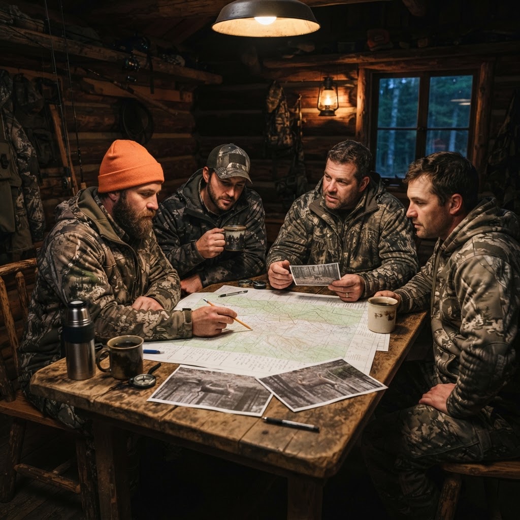
Solo hunting has its merits, but modern hunters know that collective wisdom is the ultimate competitive advantage. Here is how to harness the Buckeye Hunter Hub community to sharpen your skills and improve your success in the field.

Introducing the BHH Tundra Camo Hoodie: Performance Meets Rugged Style
Gear up for your next adventure with the all-new BHH Tundra Camo Hoodie, designed for the serious outdoorsman who demands style at camp and performance in the field.

Introducing the BHH Tundra Camo Tee: Gear Up for Your Next Pursuit
Meet the new BHH Tundra Camo Tee, built for the open country and designed for those who live for the outdoors. Whether you're glassing from a ridgeline or heading to the boat ramp, this shirt is your new go-to.

Introducing the BHH Ember Camo Hoodie: Gear Up for the Wild
Meet the new Ember Camo Hoodie, the latest addition to our outdoor apparel lineup designed for hunters and anglers who value style as much as their time in the field.