
Master the Digital Wilderness: How to E-Scout New Hunting Property from Your Couch
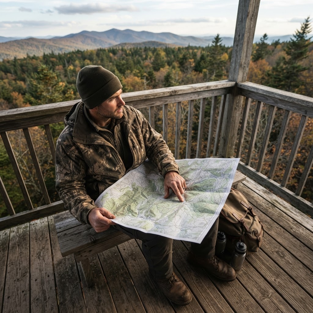
The Modern Hunter's Advantage: Mastering E-Scouting
In the era of information, the most successful hunters are often those who spend as much time behind a screen as they do in the field. E-scouting—the process of using aerial imagery, topography, and data to analyze a hunting property—has revolutionized how we approach new terrain. At Buckeye Hunter Hub, we believe that preparation is 90% of the harvest. By learning how to dissect a property from your couch, you can turn a blind walk into a strategic mission.
Free hunting map, zones & 50-state resources
Save your spots, share zones with your group, and get deer & waterfowl movement forecasts — free.
Step 1: Laying the Foundation with Topography
The first step in any scouting mission is understanding the lay of the land. Before looking at trees or fields, turn on your contour lines. Look for the 'path of least resistance' for game movement. Wildlife, especially whitetail deer, prefer to travel along benches, saddles, and drainages. A steep climb is energy-expensive; a deer will almost always take the route that requires the least caloric burn.
Utilize to layer satellite imagery over 3D terrain models. Pay close attention to pinch points—places where terrain features force animal traffic into a narrow corridor. If you find a deep draw meeting a ridge top, you have found a potential hotspot.
Step 2: Identifying the 'Three Pillars' of Habitat
Once you understand the terrain, you need to identify food, water, and cover. These are the three pillars that sustain any wildlife population.
- Food Sources: Look for agricultural transitions, mast-producing hardwoods like white oaks, or hidden clearings that might indicate early-successional browse.
- Water: Creeks, ponds, and seepages are often overlooked. In the early season, these are magnets for game.
- Cover: Look for bedding areas that are difficult for humans to access, such as thick swamps, north-facing slopes, or dense brush.
Compare your findings against to understand how these features influence daily habits. If the habitat looks perfect on the screen, your next move is to correlate that with local data. You can often find additional guidance through provided by the local DNR to see if the area has had recent habitat management work.
Step 3: Analyzing Timing and Movement
Washington · E-Tag State

Washington Harvest Tags
E-check means you supply the tag. Printed with the exact fields Washington requires.
3-pack $22.95
E-scouting isn't just about 'where,' it's about 'when.' Use your digital tools to determine wind direction dominance. If a primary bedding area is on the north side of the property, you need to know how the prevailing winds will blow through your potential stand sites. If you hunt with the wind at your back, you've already lost the game.
For those targeting whitetails, check our to align your scouted locations with peak activity times. If you are chasing waterfowl, keep an eye on to ensure you aren't scouting a location that is long past its peak for the season.
Step 4: The Logistics of Access
Raise a safe, confident young hunter.
Guide your kids ages 5–17 through interactive hunting safety missions, real decision drills, and earned trophies — all from one free parent account.




One of the biggest mistakes hunters make is failing to account for entry and exit routes. You can find the biggest buck on the property, but if your walk to the stand alerts every animal within 200 yards, you will never see him during shooting light. Look for 'stealth access'—ditches, creek beds, or overgrown hedgerows that allow you to reach your location without being silhouetted or winded.
Step 5: Safety and Field Preparedness
Never treat e-scouting as a substitute for physical safety. Once you have a plan, share your digital map with a hunting partner or family member. Check the terrain for hazards that aren't visible on a map, such as steep ravines or washed-out bridges. If you are planning an extended trip, double-check your dates against to ensure you are compliant with all local regulations.
Finalizing Your Plan
After you have completed your digital scout, save your pins, label your wind directions, and organize your gear list. Your digital scouting trip should leave you with a list of three distinct stand locations: a primary, a secondary, and a 'Plan C' for high-wind days.
By the time you pull your truck into the driveway, you shouldn't be 'exploring'; you should be executing a plan. For more deep dives into strategy, browse for expert insights on refining your tactics. Remember, the digital wilderness is vast, but with the right tools, you can navigate it with the precision of a veteran woodsman.
Join 289 hunters and anglers on Buckeye Hunter Hub — free.
Latest from the Community


New drop
Fresh Buckeye Hunter Hub tees & hoodies


Everything you need to hunt smarter — free
Buckeye Hunter Hub is a free, nationwide platform. Create an account and unlock the full toolkit:
Free Interactive Hunting Map
Mark stands, cameras, and sign. Draw hunting zones with public land & county overlays across all 50 states.
Zones with Group Sharing
Share zones with your hunting group, split property into sections, assign stands, and check in — all in one place.
50 States of Hunting Resources
Season dates, license links, and DNR regulations for every state, kept current so you never miss an opener.
Deer Movement Forecast
Data-driven daily movement predictions using wind, moon, and pressure — know when to sit before you go.
Waterfowl Movement & Tools
Flight-potential forecasts, migration numbers, decoy spread planner, and a full species field guide.
From the Maker Bench

Taggart Outdoors
Padded Rifle Sling
Hand-built in the USA · $134.99
Shop the MakerNew drop
Fresh Buckeye Hunter Hub tees & hoodies
Shop This

StopBox Pro Ward | Wall-Mounted
$179.00$199.99

StopBox Pro Compact
$159.00$179.99

Buckeye Hunter Hub Tee — No Tag Left Behind
$20.55

Buckeye Hunter Hub Hoodie — No Tag Left Behind
$32.87
Washington · E-Tag State
Washington Harvest Tags
E-check means you supply the tag. Printed with the exact fields Washington requires.
3-pack $22.95
More Articles
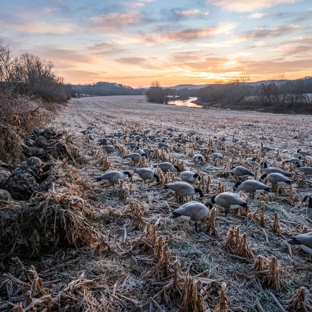
Mastering the Migration: Strategic Canada Goose Tactics for Dry Fields
Success in the dry field hinges on reading the barometer, perfect concealment, and creating a realistic landing pocket. Unlock the secrets to consistent honker harvests with these advanced field tactics.
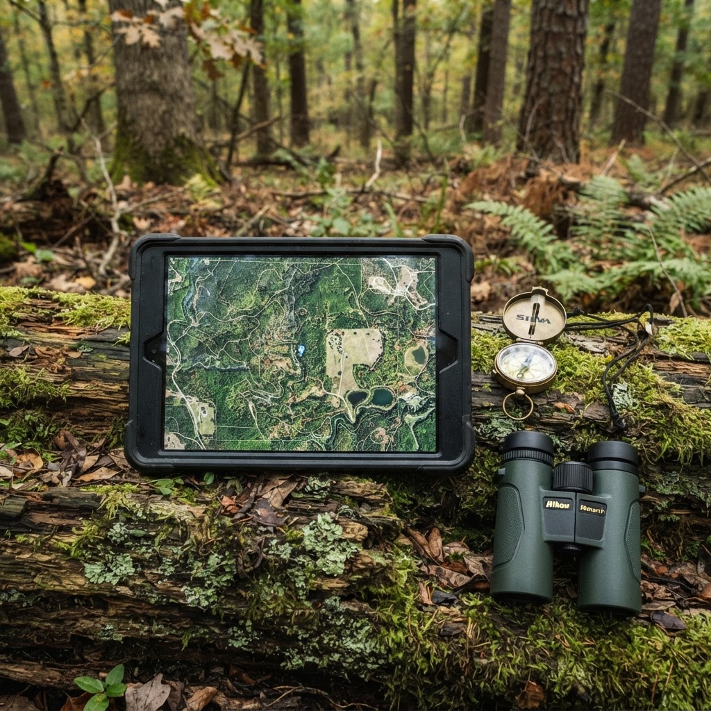
Optimizing Your Scouting: A Practical Approach to Waypoint Management
Transform your chaotic scouting notes into a streamlined digital strategy by mastering the waypoint features of the Buckeye Hunter Hub interactive map. Learn how to pinpoint your next harvest with surgical accuracy.
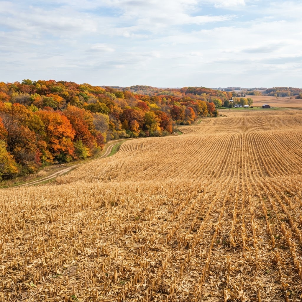
Cornfield Kingdom: Navigating Iowa’s Premier Public Land Opportunities
Iowa is more than just rolling farmland; it is a legendary destination for public land hunters willing to put in the work. Learn how to unlock the Hawkeye State’s best kept secrets.
Precision Scouting: Mapping Your Setup for a More Efficient Season
Stop wandering the woods aimlessly and start hunting with purpose by mastering waypoint management for your gear and observations.