Mapping Your Success: A Practical Guide to Finding Public Land
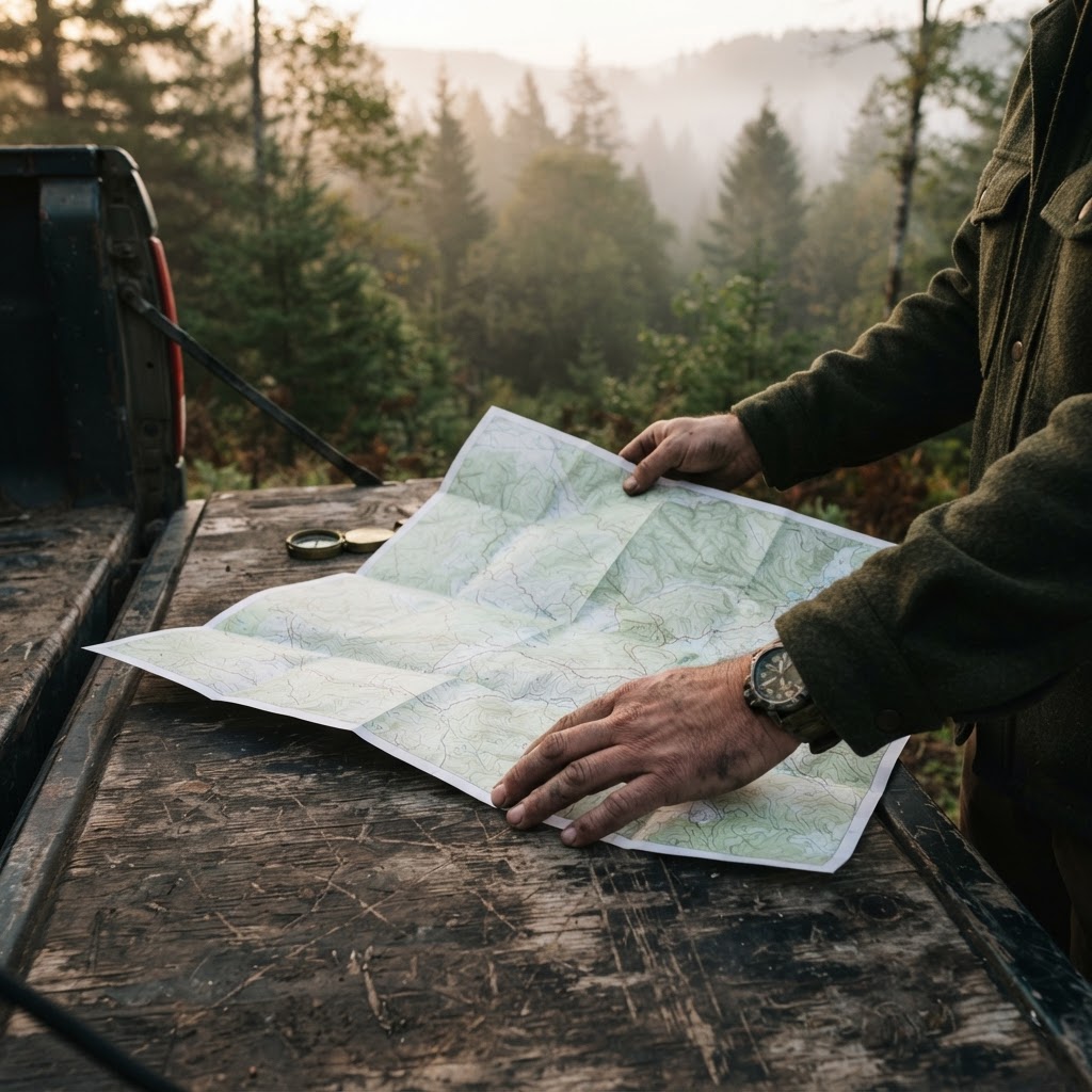
Finding Your Next Hunt on Public Land
For many hunters, the greatest barrier to success isn't a lack of skill or gear—it’s simply finding a place to hunt that isn’t already overrun with other sportsmen. Public land often gets a bad reputation for being crowded, but the reality is that the vast majority of hunters don't venture more than a few hundred yards from the trailhead or the main parking lot. By using the right technology to look past these high-pressure zones, you can unlock a vast wilderness of opportunity that remains largely untouched.
Free hunting map, zones & 50-state resources
Save your spots, share zones with your group, and get deer & waterfowl movement forecasts — free.
The provided by Buckeye Hunter Hub are designed to help you peel back the layers of public land and identify the hidden pockets where game actually dwells. Instead of wasting time scouting blind, you can use digital resources to identify terrain features, water sources, and access points from the comfort of your home.
Why Digital Scouting Matters
Scouting is the cornerstone of a successful season. Traditionally, this meant driving hundreds of miles to walk boundaries, hoping to see sign that might be there. Today, we have the ability to filter through thousands of acres in minutes. When you use the Buckeye Hunter Hub map, you aren't just looking at a flat image; you are looking at topographical data that reveals how deer or waterfowl navigate the landscape.
When you combine this mapping data with , you move from a reactive hunter to a strategic one. You can identify funnels, benches, and ridges that provide bedding security while also spotting transition zones where animals feel comfortable moving during shooting hours. This is the difference between hoping for a chance encounter and intentionally placing yourself in the path of a mature animal.
How to Use the Buckeye Hunter Hub Map Step-by-Step
Using the map is intuitive, but to get the most out of it, you need a systematic approach. Follow these steps to maximize your scouting efficiency:
1. Define Your Region
Start by zooming into your target state or county. Using the available alongside the map will ensure you are looking at areas that are currently open to the public and aligned with your specific quarry, whether that be whitetail, waterfowl, or upland birds.
E-Tag States

Harvest Tags
E-check means you supply the tag. Printed with the exact fields your state requires.
3-pack $22.95
2. Layer the Data
Toggle the different map layers. Focus on public land boundaries first. Once you have identified state forests or Wildlife Management Areas (WMAs), layer in the topography. Look for 'pinch points'—places where water or steep terrain force wildlife into a narrow corridor. If you are pursuing ducks, consider cross-referencing your map findings with our data to see if the area historically holds birds during your chosen season.
3. Identify Access and Pressure Points
Look for the entry points. Most hunters take the path of least resistance. Use the map to find the back corners of public parcels that require a longer hike or a crossing over a creek or marsh. These areas are significantly less pressured. By studying the geography, you can identify 'natural barriers' that keep the average hunter out but allow you to slip in undetected.
4. Save Your Waypoints
Once you have identified a promising piece of timber or a likely pond, save the location. These waypoints serve as your 'to-do' list for boots-on-the-ground scouting. Having these marked ensures that when you get into the field, you aren't wasting daylight wandering around—you have a clear mission.
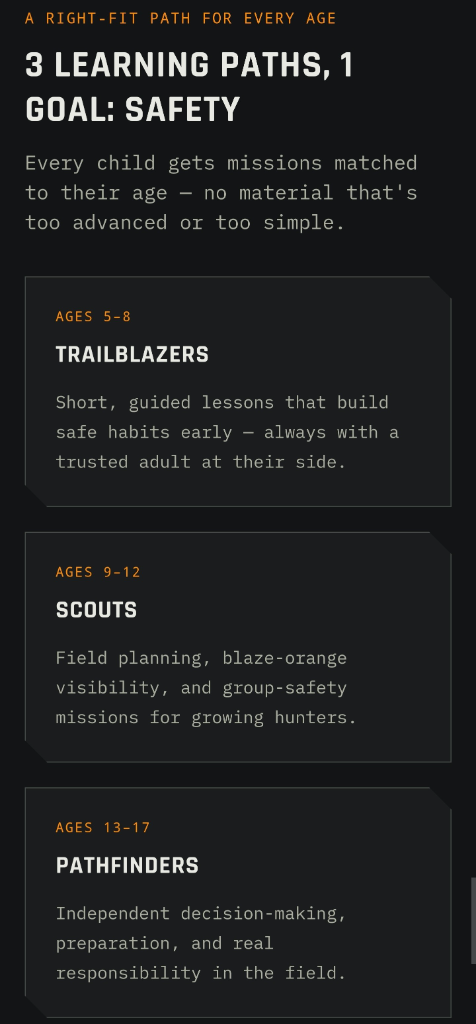
Raise a safe, confident young hunter.
Guide your kids ages 5–17 through interactive hunting safety missions, real decision drills, and earned trophies — all from one free parent account.
Bonus: every $10 you spend in the BHH shop earns a free seat (up to 5). Use them or share them.



Thinking Beyond the Obvious
One of the biggest mistakes hunters make is ignoring land that looks 'average.' Instead of looking for the 'perfect' spot that everyone else is targeting, look for the spots that connect the dots. A small, overlooked thicket situated between a large public food source and a bedding area is often more productive than a massive, popular forest tract.
Remember, your scouting doesn't stop when you find the spot. It is an iterative process. As the season progresses, you can update your map notes based on what you see in the field or what you capture on your own gear. If you are tracking patterns over time, it is incredibly helpful to compare your map notes with your findings from our to confirm if the game you expected to be there is actually frequenting those routes.
Final Thoughts on Public Land Strategy
Finding productive public land is a game of intelligence. By utilizing the Buckeye Hunter Hub interactive map, you are leveling the playing field. You are no longer guessing where the game might be; you are using hard data to validate your strategy. While technology is a powerful tool, it doesn't replace the need to actually get out into the woods. Use these digital tools to prepare, and then get out there to experience the hunt. Whether you're hunting local timber or planning a trip to a new state, the key to success is preparation. Check today, map your target zones, and start planning your next outing with confidence.
Join 709 hunters and anglers on Buckeye Hunter Hub — free.
Latest from the Community


Everything you need to hunt smarter — free
Buckeye Hunter Hub is a free, nationwide platform. Create an account and unlock the full toolkit:
Free Interactive Hunting Map
Mark stands, cameras, and sign. Draw hunting zones with public land & county overlays across all 50 states.
Zones with Group Sharing
Share zones with your hunting group, split property into sections, assign stands, and check in — all in one place.
50 States of Hunting Resources
Season dates, license links, and DNR regulations for every state, kept current so you never miss an opener.
Deer Movement Forecast
Data-driven daily movement predictions using wind, moon, and pressure — know when to sit before you go.
Waterfowl Movement & Tools
Flight-potential forecasts, migration numbers, decoy spread planner, and a full species field guide.
From the Maker Bench

SE Ohio Outdoors
Euro Mount Hook
Hand-built in the USA · $8.00
Shop the MakerFriend of BHH
Thinking about selling a rifle or an old family shotgun? Check up-to-date market pricing by make and model before you sell.
webuyguns.comShop This

StopBox Pro Ward | Wall-Mounted
$179.00$199.99

StopBox Pro Compact
$159.00$179.99

Get Well Card — Pole Down Week
$6.99

Christmas Card — Christmas Morning Perch
$6.99
E-Tag States
Harvest Tags
E-check means you supply the tag. Printed with the exact fields your state requires.
3-pack $22.95
More Articles

StopBox Security Cable Review: Is It Worth the Upgrade?
Looking to anchor your StopBox? We evaluate the heavy-duty Security Cable for hunters and homeowners to see if it provides the necessary peace of mind.
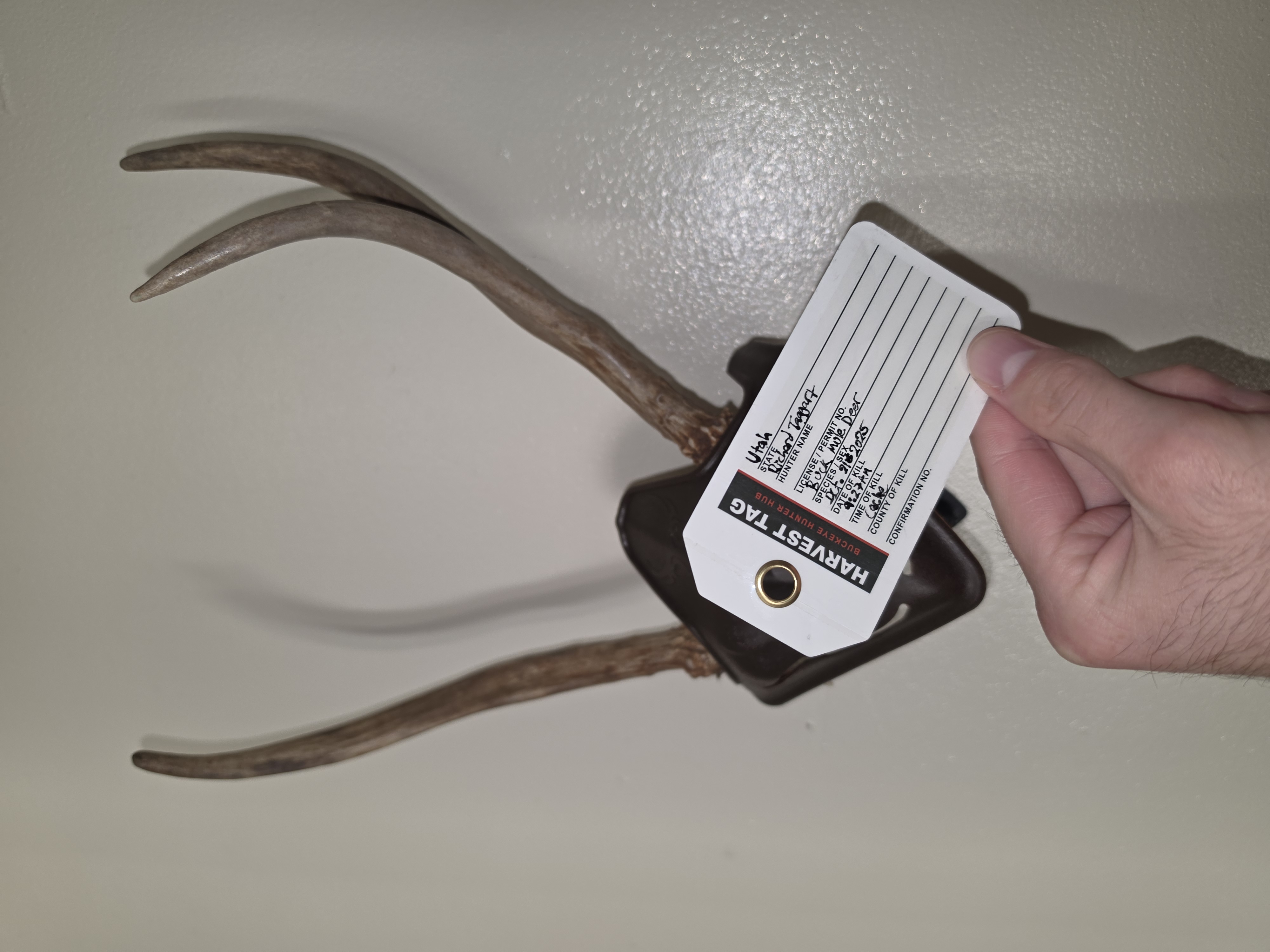
How to Tag a Deer Properly After the Shot (Before You Drag)
Learn the essential steps for tagging your harvested deer, from filling out the required information to ensuring legal compliance before you transport your game.
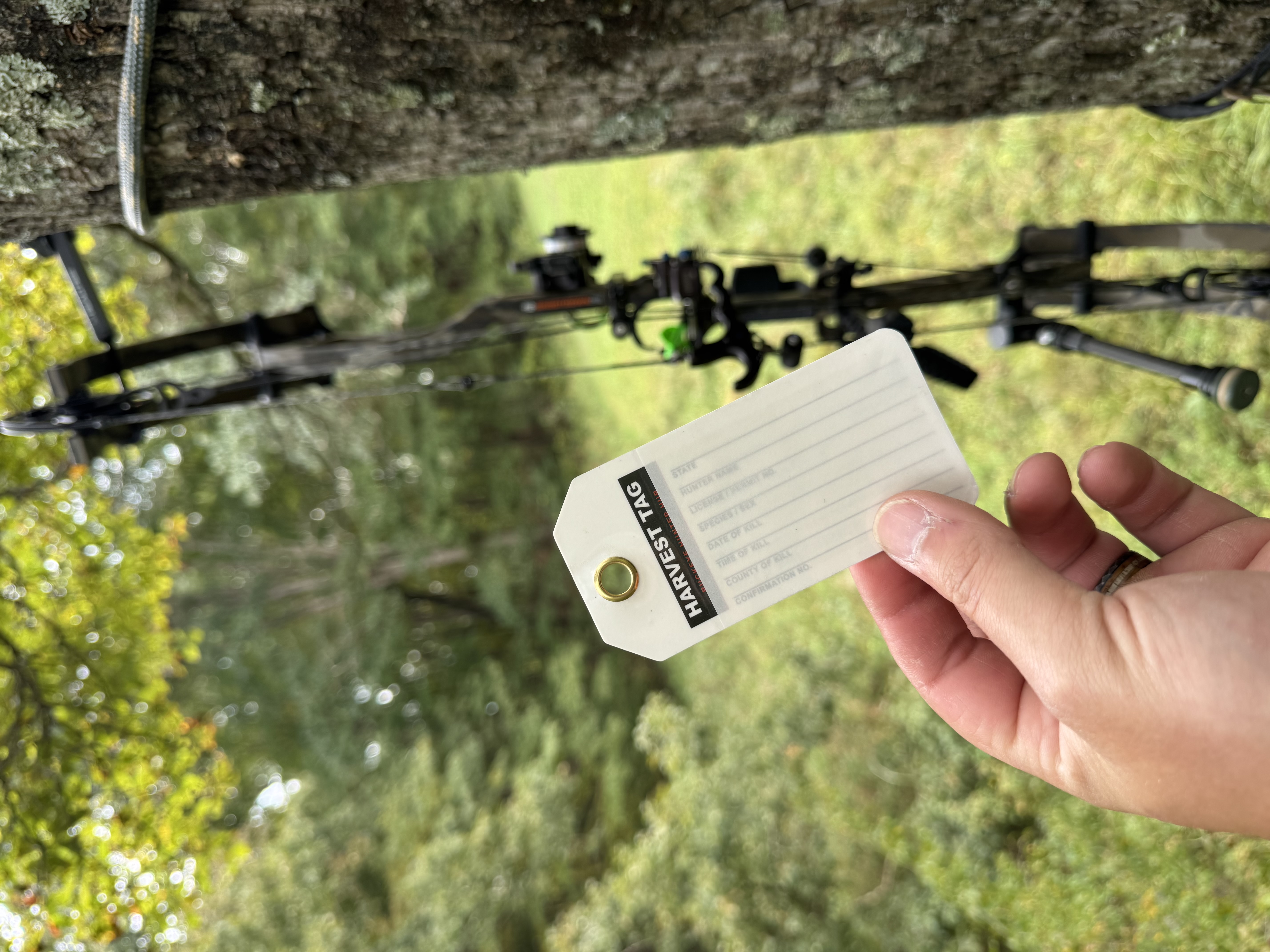
Best Christmas Gifts for Deer Hunters in 2026 (Under $25)
Looking for the perfect gift for the deer hunter in your life without overspending? Our 2026 holiday guide highlights practical, field-tested gear under $25, featuring our essential weatherproof Harvest Tags.
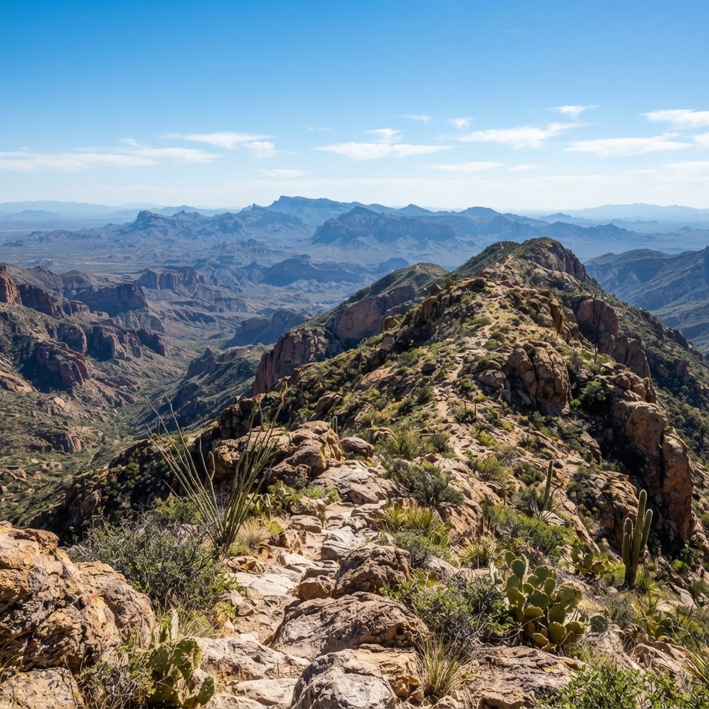
Sun, Sage, and Strategy: A Practical Guide to Arizona Hunting
Arizona offers some of the most unique hunting experiences in the American Southwest, from high-altitude elk hunts to desert bighorn sheep pursuits. Master the complexities of the Grand Canyon State with this tactical guide.