
Mapping Success: How to Use Buckeye Hunter Hub to Pin Your Hunt
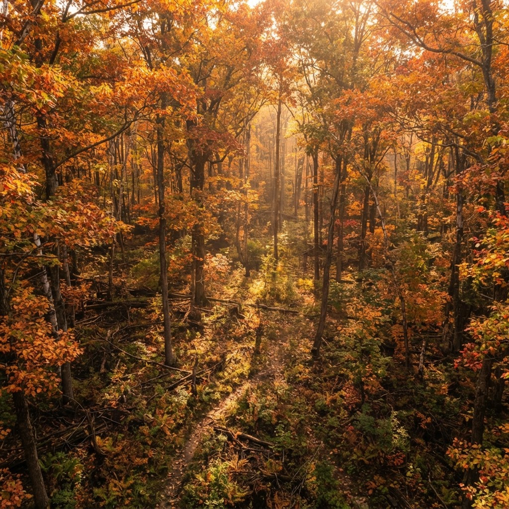
Mapping Your Way to Success
Successful hunting is rarely a product of pure luck. Instead, it is the culmination of meticulous preparation, understanding animal behavior, and knowing exactly where you stand in relation to the landscape. Many hunters spend hours walking the woods, only to lose track of promising scrape lines or forget the precise location of a stand that produced sightings last year. This is where digital scouting becomes a game-changer. By leveraging the available on Buckeye Hunter Hub, you can digitize your woodsmanship and create a master plan for the upcoming season.
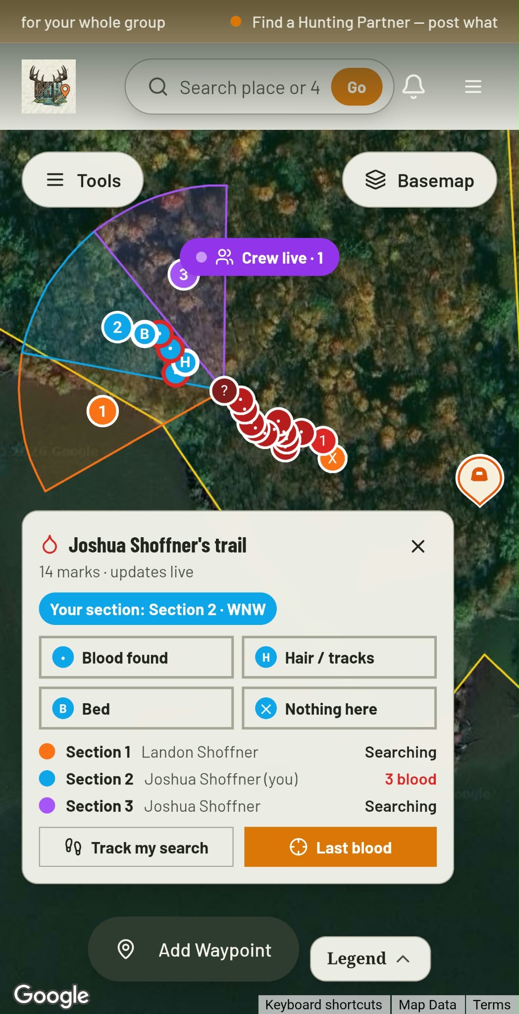
Blood Trail + Search Grid · Free
Hit one? Call in the crew.
Give every buddy a search section and see each drop they find, live.
See how it worksWhy Waypoints Matter
Think of your hunting property as a chess board. Each stand, blind, and trail camera is a piece you move to control the board. When you mark these locations as waypoints, you aren't just putting a dot on a screen; you are building a database of habitat patterns. Over time, these waypoints tell a story. You might notice that a cluster of camera sites on the edge of a bedding area consistently shows movement during the late season, or that your tree stand placed near a specific oak flat is only active during the rut. Without marking these, this institutional knowledge stays locked in your head, often becoming muddled as the season progresses.
Getting Started with Buckeye Hunter Hub
Using the waypoint feature is designed to be intuitive, allowing you to focus on the terrain rather than wrestling with complicated software. Follow these steps to start building your tactical map.
Step 1: Navigating to Your Property
Once you log into the Buckeye Hunter Hub, open the map interface. You can search by county or use your GPS coordinates to center the map on your specific hunting area. Ensure you have the satellite view toggled on; seeing the canopy cover and transitions between hardwoods and conifers is vital for identifying pinch points where deer prefer to travel.
Step 2: Selecting the Waypoint Tool
Look for the 'Add Marker' or 'Waypoint' icon on the map toolbar. When selected, you will be prompted to choose a category. We recommend using distinct icons for different assets: one for permanent ladder stands, one for ground blinds, and another for trail cameras. Being able to toggle these layers on and off helps declutter your map when you are trying to analyze your strategy.
Step 3: Dropping and Labeling
Washington · E-Tag State

Washington Harvest Tags
E-check means you supply the tag. Printed with the exact fields Washington requires.
3-pack $19.95
Click directly on the map at the exact location of your setup. A dialogue box will appear allowing you to name the waypoint. We suggest a naming convention that includes the date or a specific feature (e.g., 'West Ridge Oak Stand' or 'Creek Bottom Cam 01'). Adding notes is perhaps the most important part of this step. Jot down which wind direction is preferred for that stand or the date the camera was last checked. This level of detail bridges the gap between general scouting and .
Scouting Smarter, Not Harder
Once you have your waypoints marked, the map becomes a dynamic planning tool. Instead of hiking into a spot blindly, you can look at the proximity of your stands to potential bedding areas. By cross-referencing your map with our , you can decide which stand to sit in based on the current weather and lunar conditions.
Raise a safe, confident young hunter.
Guide your kids ages 5–17 through interactive hunting safety missions, real decision drills, and earned trophies — all from one free parent account.




For example, if the forecast predicts a sudden cold front, you can quickly look at your map and identify which of your marked stands is closest to a high-calorie food source, such as a crop field or white oak stand. This takes the guesswork out of your morning hunt, ensuring you are in the right place before the woods wake up.
Managing Your Season
Waypoints are not static—they should be updated as the season evolves. If a trail camera shows a big buck passing through a new travel corridor, drop a waypoint there immediately. You might find that your pre-season scouting needs to be adjusted based on real-time data. Regularly checking your map helps you stay ahead of migration patterns and changing seasonal habits.
If you find yourself stuck in a rut, consider checking out the on our platform to see how other hunters in your region are utilizing mapping tech to optimize their setups. Sometimes, seeing how others annotate their transition zones can give you a fresh perspective on your own property.
Final Thoughts on Digital Scouting
Digital tools are meant to augment, not replace, your time in the field. There is no substitute for boots on the ground, but there is also no reason to waste effort. By marking your stands, blinds, and cameras, you are creating a digital legacy for your hunting property. You will spend less time wandering, experience fewer accidental intrusions into bedding areas, and spend more time waiting for the shot of a lifetime.
Start small: mark your primary stands this weekend and see how much clearer your strategy becomes. Once you get in the habit, you will wonder how you ever hunted without a digitized game plan.
Free hunting map, zones & 50-state resources
Save your spots, share zones with your group, and get deer & waterfowl movement forecasts — free.
Join 260 hunters and anglers on Buckeye Hunter Hub — free.
Latest from the Community



New drop
Fresh Buckeye Hunter Hub tees & hoodies


Everything you need to hunt smarter — free
Buckeye Hunter Hub is a free, nationwide platform. Create an account and unlock the full toolkit:
Free Interactive Hunting Map
Mark stands, cameras, and sign. Draw hunting zones with public land & county overlays across all 50 states.
Zones with Group Sharing
Share zones with your hunting group, split property into sections, assign stands, and check in — all in one place.
50 States of Hunting Resources
Season dates, license links, and DNR regulations for every state, kept current so you never miss an opener.
Deer Movement Forecast
Data-driven daily movement predictions using wind, moon, and pressure — know when to sit before you go.
Waterfowl Movement & Tools
Flight-potential forecasts, migration numbers, decoy spread planner, and a full species field guide.
From the Maker Bench

Taggart Outdoors
Padded Rifle Sling
Hand-built in the USA · $134.99
Shop the MakerNew drop
Fresh Buckeye Hunter Hub tees & hoodies
Shop This

StopBox Pro Ward | Wall-Mounted
$179.00$199.99

StopBox Pro Compact
$159.00$179.99

Buckeye Hunter Hub Tee — No Tag Left Behind
$20.55

Buckeye Hunter Hub Hoodie — No Tag Left Behind
$32.87
Washington · E-Tag State
Washington Harvest Tags
E-check means you supply the tag. Printed with the exact fields Washington requires.
3-pack $19.95
More Articles

Data-Driven Scouting: Leveraging AI for Intelligent Deer Analysis
Tired of sorting through thousands of empty trail camera frames? Discover how to use automated AI analysis to pinpoint deer movement, categorize bucks, and reclaim your scouting time.
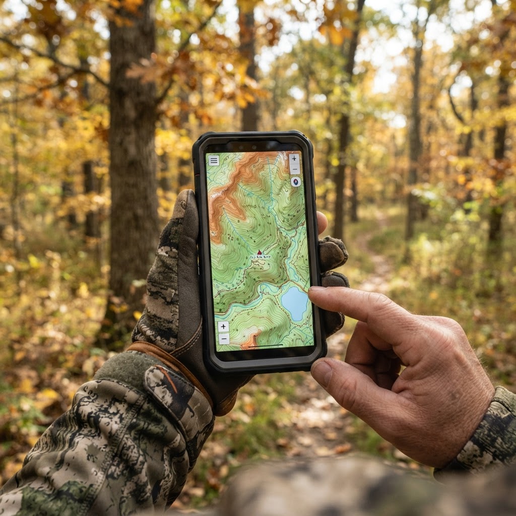
Digital Precision: Mastering Waypoint Management for Better Scouting
Take the guesswork out of your next hunt by learning to organize your stands, blinds, and trail cameras using digital mapping tools.
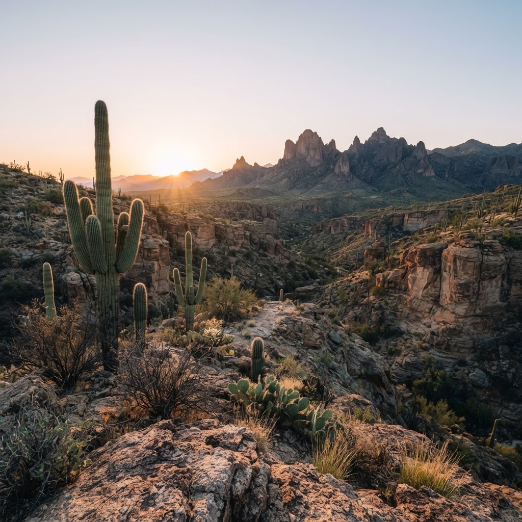
Desert Pursuits: A Comprehensive Guide to Arizona Big Game Hunting
From the high-country pines to the cactus-studded basins, Arizona offers some of the most challenging and rewarding hunting experiences in the American Southwest.
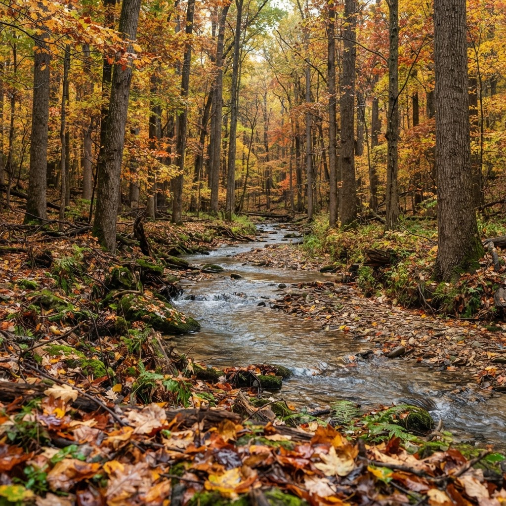
Hoosier Heartland Pursuit: A Tactical Guide to Indiana Public Land Hunting
Indiana is a hidden gem for the public land hunter. Discover how to navigate state-managed properties and national forests to find your next trophy while avoiding the crowd.