
Mastering Your Scouting: How to Mark Waypoints on Buckeye Hunter Hub
Elevating Your Scouting Strategy
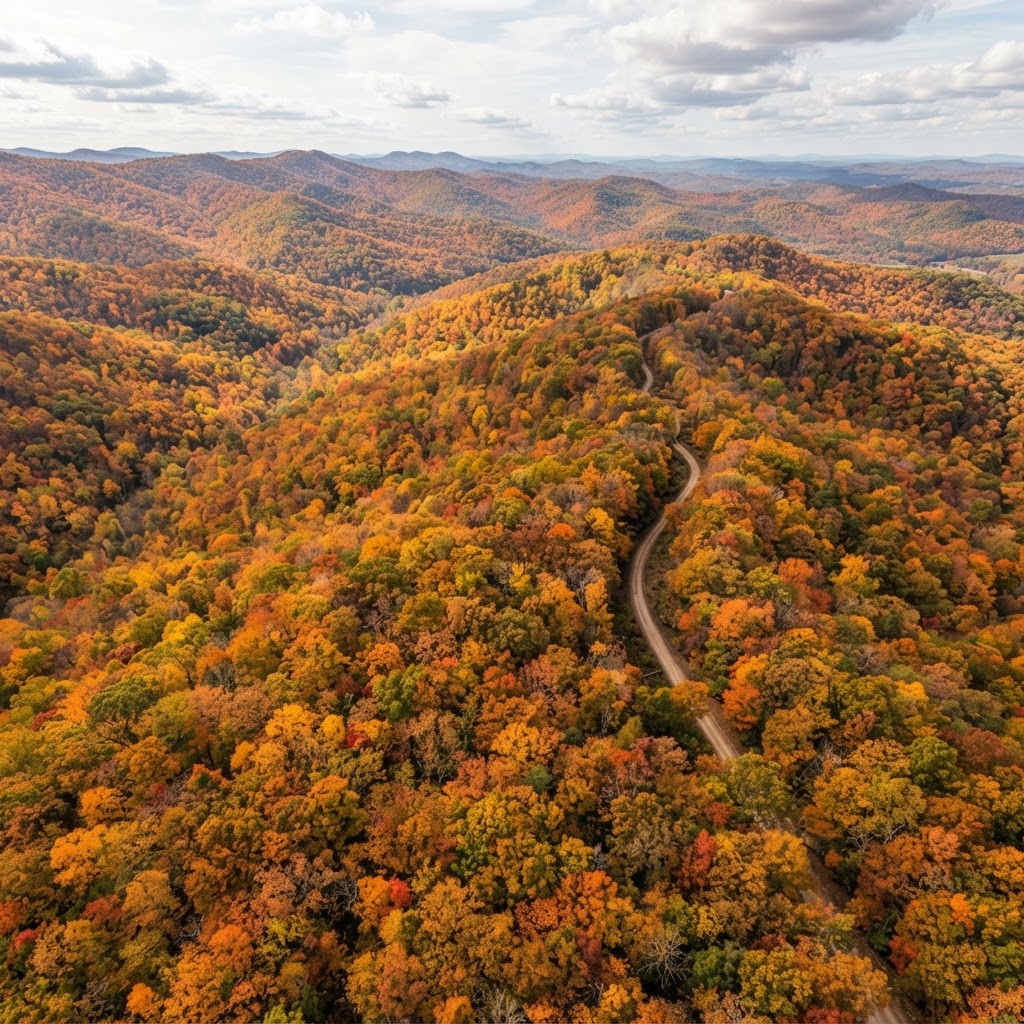
Every seasoned hunter knows that the difference between a filled tag and an empty freezer often boils down to preparation. In the modern era, scouting is no longer confined to physical boot-leather miles alone; it has evolved into a strategic combination of field observation and digital planning. At Buckeye Hunter Hub, we believe that tools should empower the hunter, not complicate the experience. Our are designed to provide a bird's-eye view of your terrain, helping you organize your season with precision.
By learning how to effectively mark waypoints for your stands, blinds, and trail cameras, you transform a scattered collection of gear into a cohesive, data-driven hunting strategy. This article will walk you through the process of utilizing our mapping tools to scout smarter, save time, and ultimately put yourself in the right place at the right time.
Why Waypoint Marking Matters
If you have ever spent thirty minutes wandering the woods in the dark, trying to find that one specific oak tree where you hung your stand, you already understand the value of digital mapping. Beyond simple navigation, marking waypoints allows you to visualize the movement patterns of deer across your property. When you overlay the location of your trail cameras with the placement of your blinds, you begin to see the story of the landscape. You can identify pinch points, bedding areas, and travel corridors that might not be obvious from a ground-level perspective.
Furthermore, having a digital record of your setups allows you to track wind suitability. By knowing exactly where your blinds are located, you can cross-reference your stand positions with our to determine which spots offer the best chance of success based on current barometric pressure and wind direction. It is about working smarter, not harder.
A Step-by-Step Guide to Marking Waypoints
Using the Buckeye Hunter Hub map interface is intuitive, even for those who aren't tech-savvy. Follow these steps to start building your digital hunting map:
Step 1: Accessing the Interactive Map
First, log into your account and navigate to our . Once the map loads, you will see your primary property overlay. Ensure that you have zoomed into the specific area you intend to scout. High-resolution satellite imagery is your best friend here, as it reveals terrain features like fence lines, water sources, and clearings.
Step 2: Selecting the Waypoint Tool
Locate the toolbar within the map interface. You will see an icon specifically designed for adding markers. Click this to activate the tool. Once active, your cursor will change, allowing you to drop a pin precisely where you want it.
E-Tag States

Harvest Tags
E-check means you supply the tag. Printed with the exact fields your state requires.
3-pack $19.95
Step 3: Categorizing Your Markers
Don't just drop generic pins; use the category feature to differentiate between your equipment. We offer custom icons for stands, blinds, and trail cameras. By color-coding or selecting specific icons, you can immediately identify your setup types at a glance. For example, use a distinct icon for a box blind versus a hang-on stand so you know exactly what gear is required for the hunt ahead.
Step 4: Adding Essential Details
Once the pin is dropped, a dialogue box will appear. Use this to add notes. Documenting the date a trail camera was set, the last time you checked it, or specific notes about the tree or brush cover is invaluable. If you notice a specific buck on camera, note it in the waypoint details. This creates a historical record of your property that you can reference throughout the year.
Scouting Smarter, Not Harder
Raise a safe, confident young hunter.
Guide your kids ages 5–17 through interactive hunting safety missions, real decision drills, and earned trophies — all from one free parent account.




Once your waypoints are established, the real magic begins. You can now use your digital map to plan your entry and exit routes. Many hunters make the mistake of walking through their best bedding areas to get to their stand. By looking at your marked waypoints, you can trace a path that minimizes your scent profile and visual impact.
If you want to dive deeper into why deer move the way they do, we highly recommend reading up on . Understanding the biology behind the movement patterns you see on your map will help you refine your waypoint placement, turning your property into a calculated hunting environment rather than a wild guess.
Keeping Your Strategy Organized
Technology is only as good as the data you put into it. Make it a habit to update your map every time you perform a site visit. If you pull a card from a trail camera and decide to move it 50 yards to catch better movement, update your waypoint immediately. Consistent maintenance of your map ensures that when the season opens, you are operating with the most accurate information possible.
Remember to check frequently so that you can align your scouting efforts with your local regulations and season dates. By keeping your digital strategy synchronized with real-world dates, you stay ahead of the curve. If you have questions about your specific region, many users find value in visiting to ensure their plans comply with the latest DNR requirements.
Join the Community
Mapping your property is a journey, not a final destination. If you find yourself needing advice on where to place a stand or how to interpret terrain, our are a great place to ask questions and share insights with fellow hunters. We encourage all our users to engage, learn, and grow as stewards of the land. Whether you are prepping for archery or rifle season, a well-mapped property is the hallmark of a prepared hunter.
Free hunting map, zones & 50-state resources
Save your spots, share zones with your group, and get deer & waterfowl movement forecasts — free.
Join 233 hunters and anglers on Buckeye Hunter Hub — free.
Latest from the Community



New drop
Fresh Buckeye Hunter Hub tees & hoodies


Everything you need to hunt smarter — free
Buckeye Hunter Hub is a free, nationwide platform. Create an account and unlock the full toolkit:
Free Interactive Hunting Map
Mark stands, cameras, and sign. Draw hunting zones with public land & county overlays across all 50 states.
Zones with Group Sharing
Share zones with your hunting group, split property into sections, assign stands, and check in — all in one place.
50 States of Hunting Resources
Season dates, license links, and DNR regulations for every state, kept current so you never miss an opener.
Deer Movement Forecast
Data-driven daily movement predictions using wind, moon, and pressure — know when to sit before you go.
Waterfowl Movement & Tools
Flight-potential forecasts, migration numbers, decoy spread planner, and a full species field guide.
From the Maker Bench

Taggart Outdoors
Padded Rifle Sling
Hand-built in the USA · $134.99
Shop the MakerNew drop
Fresh Buckeye Hunter Hub tees & hoodies
Shop This

StopBox Pro Ward | Wall-Mounted
$179.00$199.99

StopBox Pro Compact
$159.00$179.99

Buckeye Hunter Hub Tee — No Tag Left Behind
$20.55

Buckeye Hunter Hub Hoodie — No Tag Left Behind
$32.87
E-Tag States
Harvest Tags
E-check means you supply the tag. Printed with the exact fields your state requires.
3-pack $19.95
More Articles

Gear Up for the Field: Introducing the New Little Brown Duck Dog Hoodie
Meet your new favorite layer for the duck blind and beyond: the Buckeye Hunter Hub Little Brown Duck Dog hoodie is here to keep you warm and looking sharp.

Make a Statement: Introducing the Buckeye Hunter Hub Hoodie — Whoa.
Meet the ultimate addition to your outdoor wardrobe: the Buckeye Hunter Hub Hoodie — Whoa., designed for those who live for the pursuit and value a bit of personality in their gear.

Introducing the Little Brown Duck Dog Tee: Your New Favorite Hunting Apparel
Meet the latest addition to the Buckeye Hunter Hub gear lineup, designed for those who live for the marsh and the field.

Introducing the 'Whoa.' Tee: Performance Apparel for the Modern Outdoorsman
Meet the new Buckeye Hunter Hub Tee — Whoa., designed for those who live for the field, the blind, and the boat ramp.