
Mastering Your Scouting: How to Mark Waypoints on Buckeye Hunter Hub
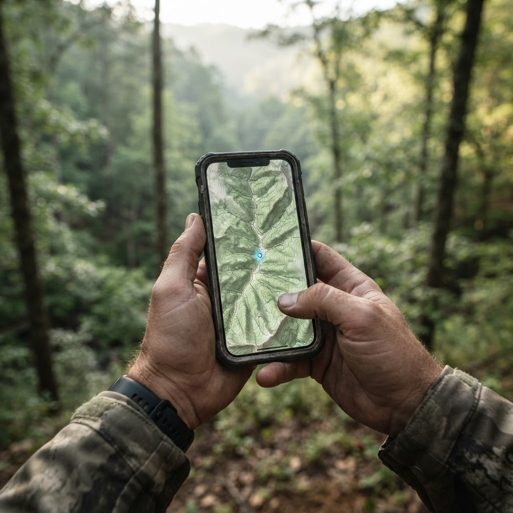
Scouting Smarter, Not Harder
Every successful hunt begins long before the season opener. Whether you are chasing whitetails in the Midwest or waterfowl in the flyways, the difference between a filled tag and an empty freezer often comes down to your level of preparation. Many hunters rely on memory, but in a world of complex terrain and shifting deer patterns, memory is rarely enough. By utilizing , you can visualize your entire hunting property with precision, ensuring that every stand location, blind, and trail camera is accounted for before you even step foot in the woods.
Why Digital Waypoints Matter
Marking waypoints is more than just digital housekeeping; it is about recognizing patterns. When you record exactly where you have placed your gear, you can cross-reference those spots with to identify high-traffic corridors. For example, if you notice your trail cameras are consistently capturing buck movement between 4:00 PM and 6:00 PM, you can adjust your stand placement to intercept that specific path. This data-driven approach is what separates the casual hunter from the successful woodsman.
Step-by-Step: Adding Your Gear to the Map
Getting started with the Buckeye Hunter Hub mapping tool is straightforward. Follow these steps to maximize your efficiency:
- Login and Select Your Property: Navigate to the main map interface. Ensure you have your property boundaries loaded to keep your waypoints organized.
- Identify Your Focus Area: Zoom into the specific woodlot or wetland you intend to scout.
- Select the 'Add Waypoint' Tool: Click the icon that looks like a pin. You will have options to choose categories like 'Tree Stand,' 'Ground Blind,' or 'Trail Camera.'
- Place with Precision: Click directly on the map where your gear is located. Be as specific as possible—placing a waypoint exactly on a ridge line or a creek crossing is vital for understanding why game is moving through that area.
- Add Descriptive Metadata: Don't just leave a pin. Add notes regarding wind direction, the type of tree the stand is in, or whether the trail camera needs fresh batteries. This information becomes invaluable when planning your approach for a morning hunt.
Integrating Advanced Intel
Once your map is populated with waypoints, you can start using it in conjunction with other powerful tools. For instance, you should regularly consult the to see how regional weather trends affect the activity levels near your marked waypoints. If a cold front is pushing through, your map will show you exactly which stands offer the best coverage for high-activity hours.
E-Tag States

Harvest Tags
E-check means you supply the tag. Printed with the exact fields your state requires.
3-pack $19.95
For those who hunt across multiple disciplines, it is worth noting that forecast tools can be used similarly to track blind locations in relation to changing migration patterns. When scouting new properties, many hunters also use hunt planners to further refine their intel and analyze terrain features alongside their digital map pins. Combining human-led scouting with digital insights allows you to develop a strategy that adapts to the behavior of the animal rather than hoping for luck.
Best Practices for Seasonal Scouting
Effective scouting is a year-round endeavor. During the off-season, use your to schedule times for checking your markers and ensuring your stands are safe. According to The National Deer Association, understanding habitat quality and security cover is essential for long-term population management. By marking these features on your map, you ensure that you aren't just placing a camera randomly, but placing it where it can gather the most meaningful data.
Raise a safe, confident young hunter.
Guide your kids ages 5–17 through interactive hunting safety missions, real decision drills, and earned trophies — all from one free parent account.




Don't forget to keep your community engaged. If you are part of our community, share your successes (or ask for advice) on the best way to categorize your markers. Sometimes, seeing how another hunter labels their waypoints can reveal a blind spot in your own strategy. If you ever find yourself struggling with a specific state's regulations, our page on can provide the guidance you need to remain compliant while you scout.
The Final Word
Success in the field is a product of intelligence, patience, and the right technology. By taking the time to digitally document your gear using the Buckeye Hunter Hub, you create a comprehensive picture of your hunting landscape. It turns the vast, unpredictable wilderness into a manageable grid of possibilities. Start mapping your strategy today, and you’ll find that you are spending less time wandering and more time in the right spot at the right time.
Explore More on Buckeye Hunter Hub
<!-- links-cleaned -->Free hunting map, zones & 50-state resources
Save your spots, share zones with your group, and get deer & waterfowl movement forecasts — free.
Join 167 hunters and anglers on Buckeye Hunter Hub — free.
Latest from the Community

Trail Cam
Whitetail doe
Admin Josh · 2d ago

Posted
Ready For My Extended Archery Deer Hunt
Richard Taggart · 2d ago

Trail Cam
Untitled
Jagger Feazel · 2d ago

Posted
Venison Burgers
Richard Taggart · 3d ago

Trophy
Throwback to 2010
Jeffrey Cote · 3d ago

Posted
Last Day of the Archery Elk Hunt
Richard Taggart · 4d ago
Everything you need to hunt smarter — free
Buckeye Hunter Hub is a free, nationwide platform. Create an account and unlock the full toolkit:
Free Interactive Hunting Map
Mark stands, cameras, and sign. Draw hunting zones with public land & county overlays across all 50 states.
Zones with Group Sharing
Share zones with your hunting group, split property into sections, assign stands, and check in — all in one place.
50 States of Hunting Resources
Season dates, license links, and DNR regulations for every state, kept current so you never miss an opener.
Deer Movement Forecast
Data-driven daily movement predictions using wind, moon, and pressure — know when to sit before you go.
Waterfowl Movement & Tools
Flight-potential forecasts, migration numbers, decoy spread planner, and a full species field guide.

American Express® Gold Card
Earn big on the things you love—dining, groceries, and travel. Apply through my referral link below.
- Up to 100,000 Membership Rewards® Points after you use your new Card to make $8,000 in purchases in the first 6 months—upon approval.
- 4X Membership Rewards® Points at restaurants worldwide, plus takeout and delivery in the U.S.
- 4X Points at U.S. supermarkets (on up to $25,000 per year, then 1X).
- 3X Points on flights booked directly with airlines or on amextravel.com.
- Up to $120 in annual dining credits at select partners (enrollment required).
Terms apply. Offer subject to approval by American Express. This is a referral link—I may receive Membership Rewards® Points if you are approved.
Shop This

StopBox Pro Ward | Wall-Mounted
$179.00$199.99

StopBox Pro Compact
$159.00$179.99

BHH Marsh Camo Socks
$8.21

Warden Ticket Men's Mesh Shorts
$28.66
E-Tag States
Harvest Tags
E-check means you supply the tag. Printed with the exact fields your state requires.
3-pack $19.95
More Articles
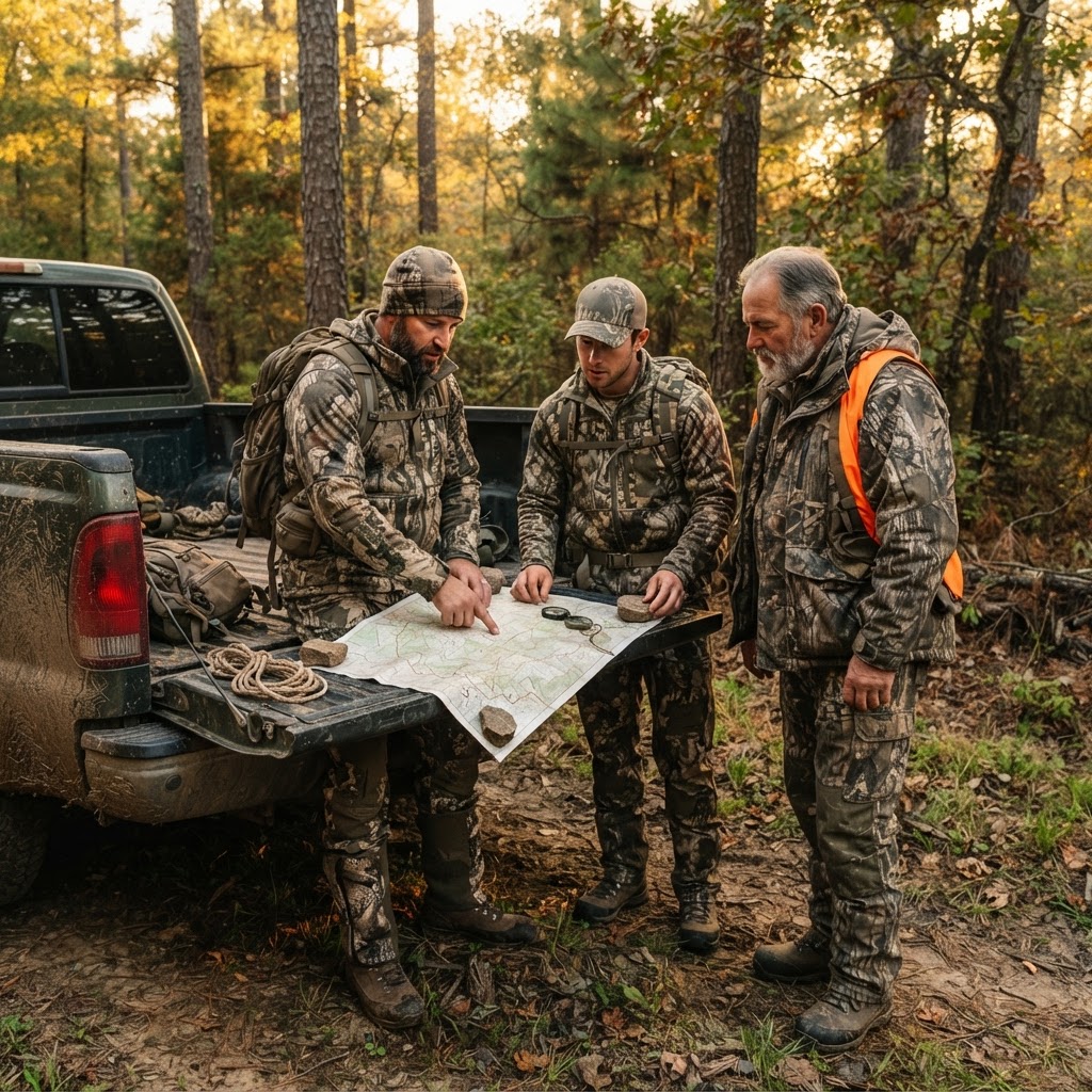
Finding Your Tribe: Why Collaborative Hunting Communities Are Replacing the Solitary Scout
Hunting is often viewed as a solitary pursuit, but the most successful sportsmen are turning to collaborative digital communities to sharpen their skills and share local knowledge. Discover how Buckeye Hunter Hub is changing the game.
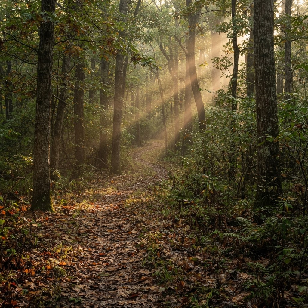
Prairie State Pursuits: Navigating Illinois Public Land
Illinois offers a wealth of hidden hunting opportunities beyond its famous cornfields; learn how to identify, scout, and secure your spot on the state’s expansive public grounds.
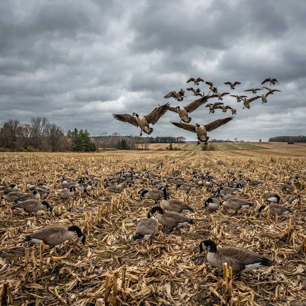
Precision Honker Strategies: Deciphering Weather and Movement for Dry-Field Success
Mastering the dry field is the pinnacle of waterfowling, where reading the wind and manipulating movement separates the limit-takers from the blank-checkers.
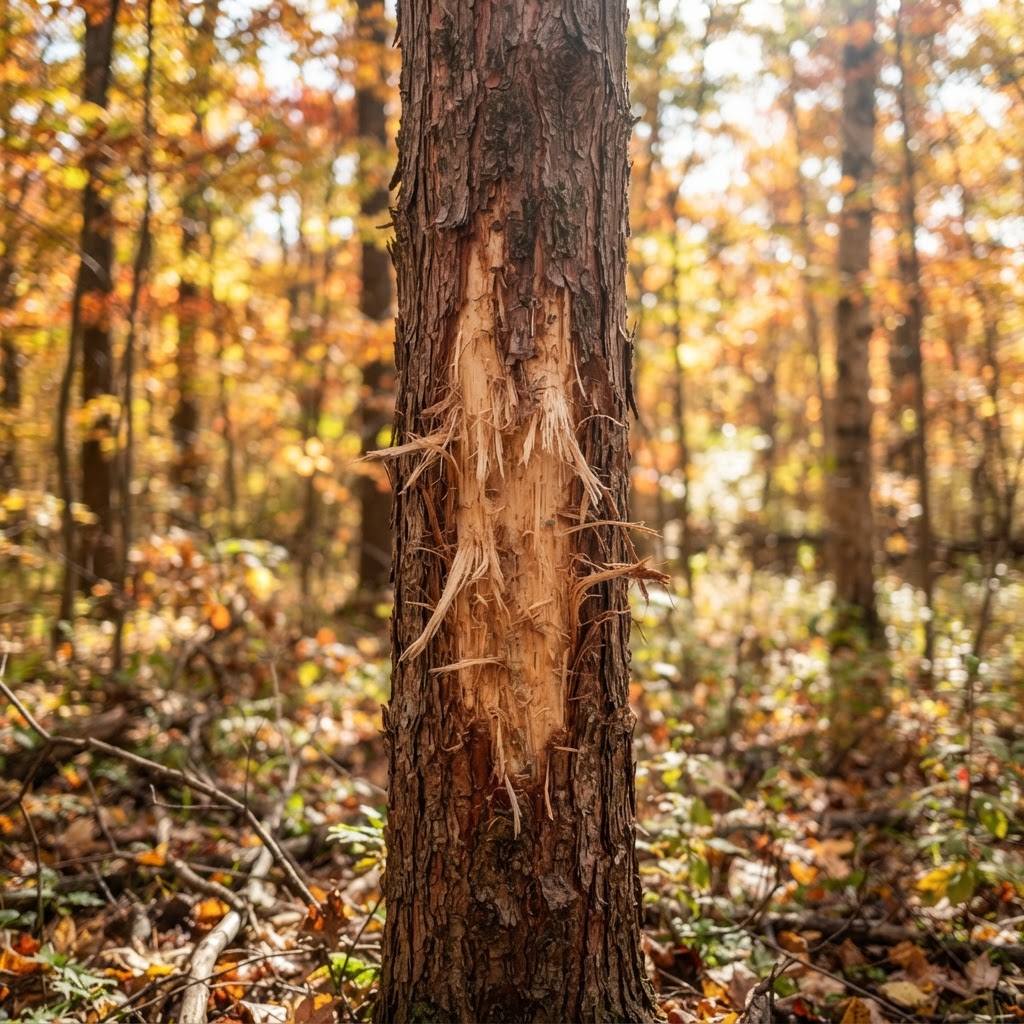
Unseen Trails: Decoding Forest Sign to Predict Buck Behavior
Move beyond basic scouting by learning how to interpret the subtle, layered history written on the forest floor, turning mere signs into a concrete harvest plan.