
Mastering the Woods: How to Map Your Hunting Setup with Buckeye Hunter Hub
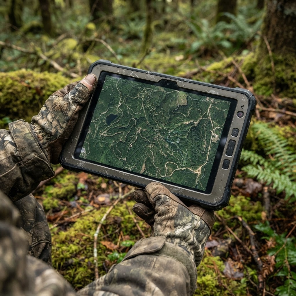
Scouting Smarter, Not Harder
Every veteran hunter has had that moment: you are walking through the dark, trying to find that one specific oak tree or a hidden trail camera you set up back in August, only to realize you are fifty yards off-course. In the fast-paced world of deer hunting, efficiency is everything. When you rely solely on mental markers, you lose time, disturb more ground than necessary, and often miss out on the subtle patterns that lead to a harvest.
At Buckeye Hunter Hub, we believe that technology should be an asset, not a distraction. By utilizing , you can transform how you approach your land, turning a chaotic mess of gear and stand locations into a strategic, data-driven plan. Whether you are hunting public land or managing your own private acreage, digital waypoint marking is the single most effective way to elevate your scouting game.
Why Mark Waypoints?
Before we dive into the 'how,' it is important to understand the 'why.' Marking your gear isn't just about finding it in the dark. It is about spatial awareness. By pinning your stands, blinds, and cameras, you begin to see the bigger picture. You can see how wind direction interacts with your stand sites, how trail camera sightings correlate with terrain features like funnels or bedding areas, and how to create the most efficient entry and exit routes that minimize your scent signature.
Step-by-Step: Pinning Your Gear on Buckeye Hunter Hub
Using the Buckeye Hunter Hub interface is designed to be intuitive for hunters of all tech-comfort levels. Here is how you can start mapping your property today:
1. Access the Map Interface
Navigate to our page. Ensure you are logged into your account so that your data is saved securely to your profile. Once the map loads, take a moment to toggle between the satellite and topographic views. Satellite imagery helps you identify clearings and canopy cover, while the topo layer is essential for spotting pinch points and elevation changes that influence deer movement.
2. Dropping Your First Pin
Zoom in on the area where you have your gear located. Click the 'Add Marker' or 'Waypoint' icon. You will be prompted to select a category. We recommend using distinct icons for your gear: use a 'Tree Stand' icon for elevated positions, a 'Blind' icon for ground setups, and a 'Camera' icon for your trail cameras. Once the pin is dropped, you can drag it to the exact GPS coordinate.
3. Adding Critical Metadata
This is where most hunters miss an opportunity. Don’t just drop a pin—name it. Instead of 'Stand 1,' try something descriptive like 'South Ridge Oak – AM Stand.' In the notes field, record the specific wind direction that makes that stand viable. If you are marking a trail camera, update the notes whenever you pull the card so you can track if the camera is productive or if it needs to be moved to a more active corridor.
E-Tag States

Harvest Tags
E-check means you supply the tag. Printed with the exact fields your state requires.
3-pack $19.95
4. Planning Your Routes
Once your primary locations are marked, use the map to draw your ingress and egress paths. You want to ensure you aren't walking through bedding areas or cross-wind to where your target buck is likely holding. If your route currently intersects with a known bedding zone, use the map to pivot your path, finding a quieter, low-impact way to get to your stand undetected.
Connecting the Dots: Scouting and Strategy
Once you have your gear plotted, you can start cross-referencing your map data with other resources. For example, if you are noticing a lull in activity on your trail cameras, check the to see if you are hunting during a period of predicted low movement. By combining real-time data with your physical gear locations, you stop guessing and start hunting based on environmental factors and observed trends.
Raise a safe, confident young hunter.
Guide your kids ages 5–17 through interactive hunting safety missions, real decision drills, and earned trophies — all from one free parent account.




Furthermore, understanding can help you decide where to place that next set of pins. If the map shows a natural bottleneck where two ridges meet, that is a high-value location for a camera or a mobile stand. Marking these spots allows you to plan your season months in advance, giving you a massive advantage when the rut kicks into gear.
Staying Organized for Success
Consistency is the key to success. Make it a habit to open your map every time you finish a scout. If you find a fresh scrape line or a new rub, don't leave it to memory. Pin it. Over time, these pins will create a visual heatmap of your property, revealing the travel corridors that the deer use consistently.
By leveraging the tools on Buckeye Hunter Hub, you are not just marking locations; you are building an archive of your hunting history. This historical data is invaluable from year to year. You will know exactly which stands produced when the acorns dropped last October and which cameras caught the most daylight activity during the late season. It turns every scout into an investment in your future success. Happy hunting, and keep your gear organized.
Free hunting map, zones & 50-state resources
Save your spots, share zones with your group, and get deer & waterfowl movement forecasts — free.
Join 242 hunters and anglers on Buckeye Hunter Hub — free.
Latest from the Community



New drop
Fresh Buckeye Hunter Hub tees & hoodies


Everything you need to hunt smarter — free
Buckeye Hunter Hub is a free, nationwide platform. Create an account and unlock the full toolkit:
Free Interactive Hunting Map
Mark stands, cameras, and sign. Draw hunting zones with public land & county overlays across all 50 states.
Zones with Group Sharing
Share zones with your hunting group, split property into sections, assign stands, and check in — all in one place.
50 States of Hunting Resources
Season dates, license links, and DNR regulations for every state, kept current so you never miss an opener.
Deer Movement Forecast
Data-driven daily movement predictions using wind, moon, and pressure — know when to sit before you go.
Waterfowl Movement & Tools
Flight-potential forecasts, migration numbers, decoy spread planner, and a full species field guide.
From the Maker Bench

Taggart Outdoors
Padded Rifle Sling
Hand-built in the USA · $134.99
Shop the MakerNew drop
Fresh Buckeye Hunter Hub tees & hoodies
Shop This

StopBox Pro Ward | Wall-Mounted
$179.00$199.99

StopBox Pro Compact
$159.00$179.99

Buckeye Hunter Hub Tee — No Tag Left Behind
$20.55

Buckeye Hunter Hub Hoodie — No Tag Left Behind
$32.87
E-Tag States
Harvest Tags
E-check means you supply the tag. Printed with the exact fields your state requires.
3-pack $19.95
More Articles
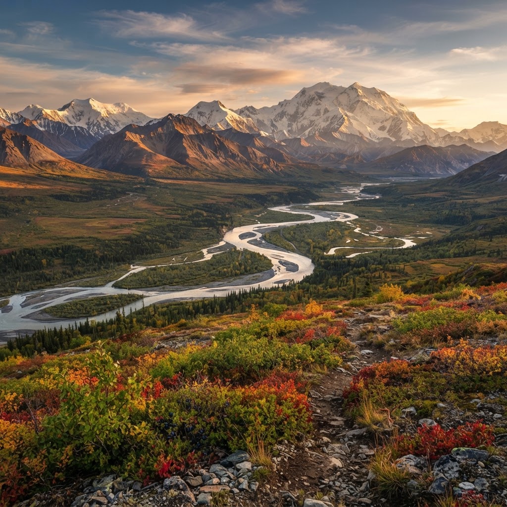
The Last Frontier: A Strategic Guide to Alaskan Big Game Hunting
Alaska offers the ultimate challenge for the American sportsman, combining vast wilderness with unmatched species diversity. From planning your logistics to understanding the unique terrain, here is how to navigate the complexities of hunting the Last Frontier.

Gear Up for the Field: Introducing the New Little Brown Duck Dog Hoodie
Meet your new favorite layer for the duck blind and beyond: the Buckeye Hunter Hub Little Brown Duck Dog hoodie is here to keep you warm and looking sharp.

Make a Statement: Introducing the Buckeye Hunter Hub Hoodie — Whoa.
Meet the ultimate addition to your outdoor wardrobe: the Buckeye Hunter Hub Hoodie — Whoa., designed for those who live for the pursuit and value a bit of personality in their gear.

Introducing the Little Brown Duck Dog Tee: Your New Favorite Hunting Apparel
Meet the latest addition to the Buckeye Hunter Hub gear lineup, designed for those who live for the marsh and the field.