
Mastering Public Land Access: A Guide to the Buckeye Hunter Hub Interactive Map
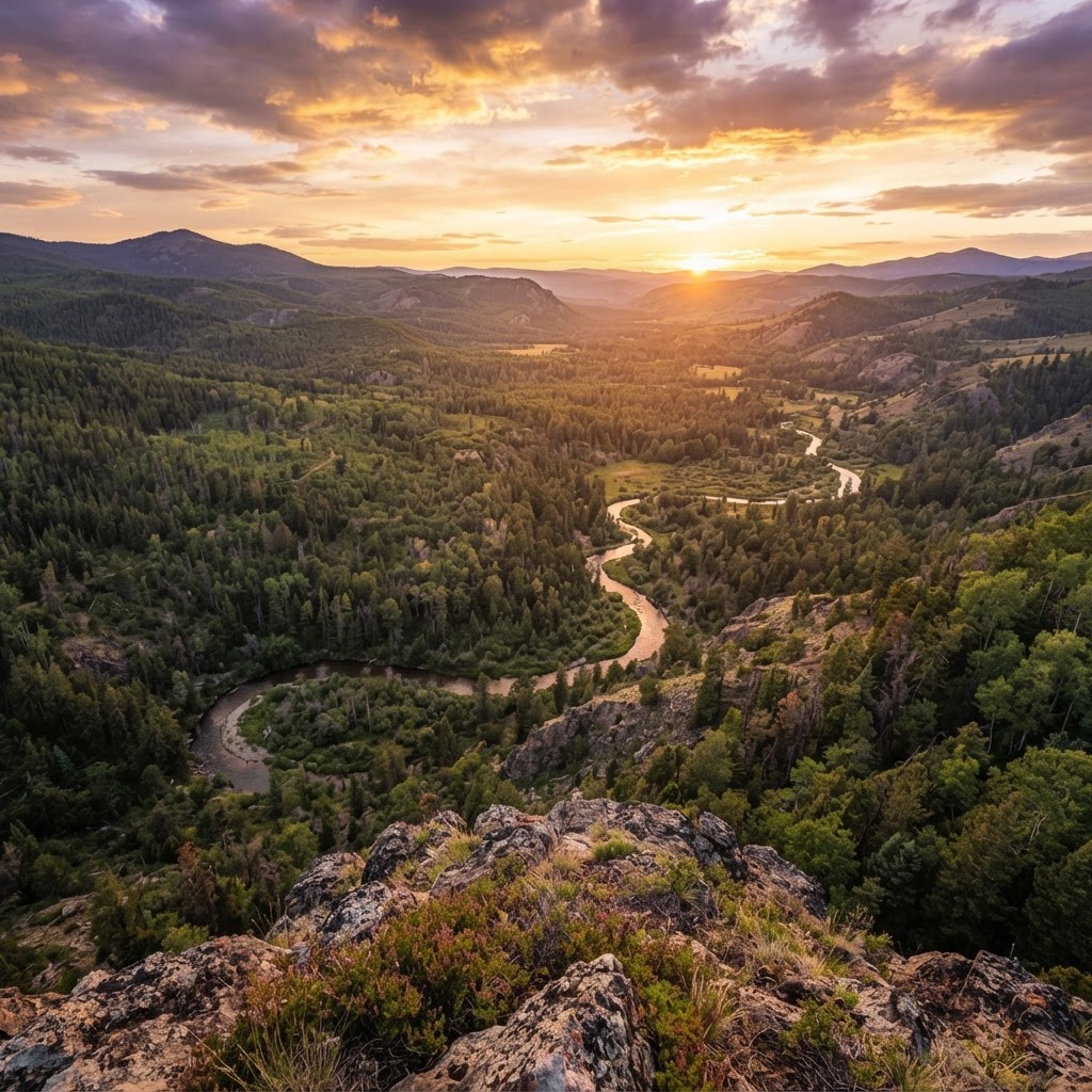
Why Public Land Scouting is Hard (and How to Fix It)
For the modern hunter, the challenge is rarely about finding enough game—it is about finding enough access. Between private property postings and overlapping boundaries, identifying legal hunting grounds can feel like navigating a maze. Without the right data, hunters often waste precious weekends scouting land that either isn't open to the public or lacks the habitat required to hold wildlife. The available on the Buckeye Hunter Hub were designed specifically to bridge this gap, turning overwhelming federal and state data into a streamlined, mobile-friendly interface.
The Power of Digital Scouting
Digital scouting is no longer an optional luxury; it is a vital part of the hunting strategy. By utilizing high-resolution satellite imagery combined with public land overlays, you can identify terrain features like pinch points, bedding areas, and water sources from your living room. When you use the Buckeye Hunter Hub tools, you aren't just looking at a flat image—you are viewing a layered map that clarifies where you can legally step foot. This allows you to spend your physical scouting time confirming sign rather than wondering if you’re about to walk onto private property.
Step-by-Step: Using the Interactive Map
Getting started with the tool is straightforward, but mastering it takes a bit of practice. Follow these steps to maximize your efficiency during the preseason.
1. Identify Your Target State and Region
Start by navigating to the map interface. Most hunters make the mistake of looking at the entire country at once. Instead, zoom into your specific state or regional focus. Once you reach the state level, make sure you have familiarized yourself with the latest regulations by checking . This ensures you understand the nuances of the specific public lands you are viewing, such as special permit requirements or specific weapons restrictions.
2. Activate Public Land Layers
Once you’ve found your target area, locate the layer toggle on the side menu. This is the heart of the tool. Select the "Public Land" overlay. This will highlight Wildlife Management Areas (WMAs), State Forests, and National Forests in distinct colors. By seeing these boundaries clearly marked, you can easily spot overlooked pockets of public land that connect to larger tracts of wilderness.
3. Analyze Terrain with Satellite and Topographic Views
E-Tag States

Harvest Tags
E-check means you supply the tag. Printed with the exact fields your state requires.
3-pack $19.95
Don’t just look at the boundaries. Toggle between satellite imagery and topographical maps. Look for changes in elevation, creek beds, and thick vegetation. If you are preparing for deer season, keep in mind. Deer gravitate toward the path of least resistance and safety. Use the map to find the ridges and valleys that act as natural travel corridors through public land.
Combining Maps with Seasonal Strategy
Finding the land is only half the battle. To be truly successful, you need to combine your map work with timing. For example, if you are planning a trip, keep an eye on the to ensure you aren't hunting during a closure or limited access period.
Raise a safe, confident young hunter.
Guide your kids ages 5–17 through interactive hunting safety missions, real decision drills, and earned trophies — all from one free parent account.




If you are focusing on whitetails, using the map in tandem with our provides a powerful advantage. The map tells you where the deer live, while the forecast tells you the when—helping you pick the exact days your odds are highest. Similarly, if you are a waterfowler, pairing the map with our allows you to track patterns and find public marshes that hold birds during peak migration.
Ethical Scouting and Respecting Boundaries
Technology is a tool, not a replacement for good field etiquette. Even with high-definition digital boundaries, GPS signals can occasionally have a small margin of error. Always prioritize caution when hunting near the edges of private and public land. If the digital map shows a property line, give it a wide berth. The goal of using these maps is to hunt smarter and safer, ensuring that we maintain a positive relationship with private landowners and keep our public access opportunities open for future generations.
Final Tips for Success
- Scout Early, Scout Often: Don't wait until the week before the season to check your maps. Use the off-season to build a library of potential spots.
- Download for Offline Use: Always ensure you have saved your area maps before heading deep into remote public land where cell service is non-existent.
- Join the Conversation: Once you've identified potential spots, consider joining to ask general questions about regional habits or gear recommendations from hunters who have been in those areas before.
By leveraging the right digital tools and combining them with a solid understanding of wildlife behavior, you can turn a frustrating search for land into a productive hunting season. Start exploring your local landscape today and see just how much public ground has been waiting for you all along.
Free hunting map, zones & 50-state resources
Save your spots, share zones with your group, and get deer & waterfowl movement forecasts — free.
Join 252 hunters and anglers on Buckeye Hunter Hub — free.
Latest from the Community


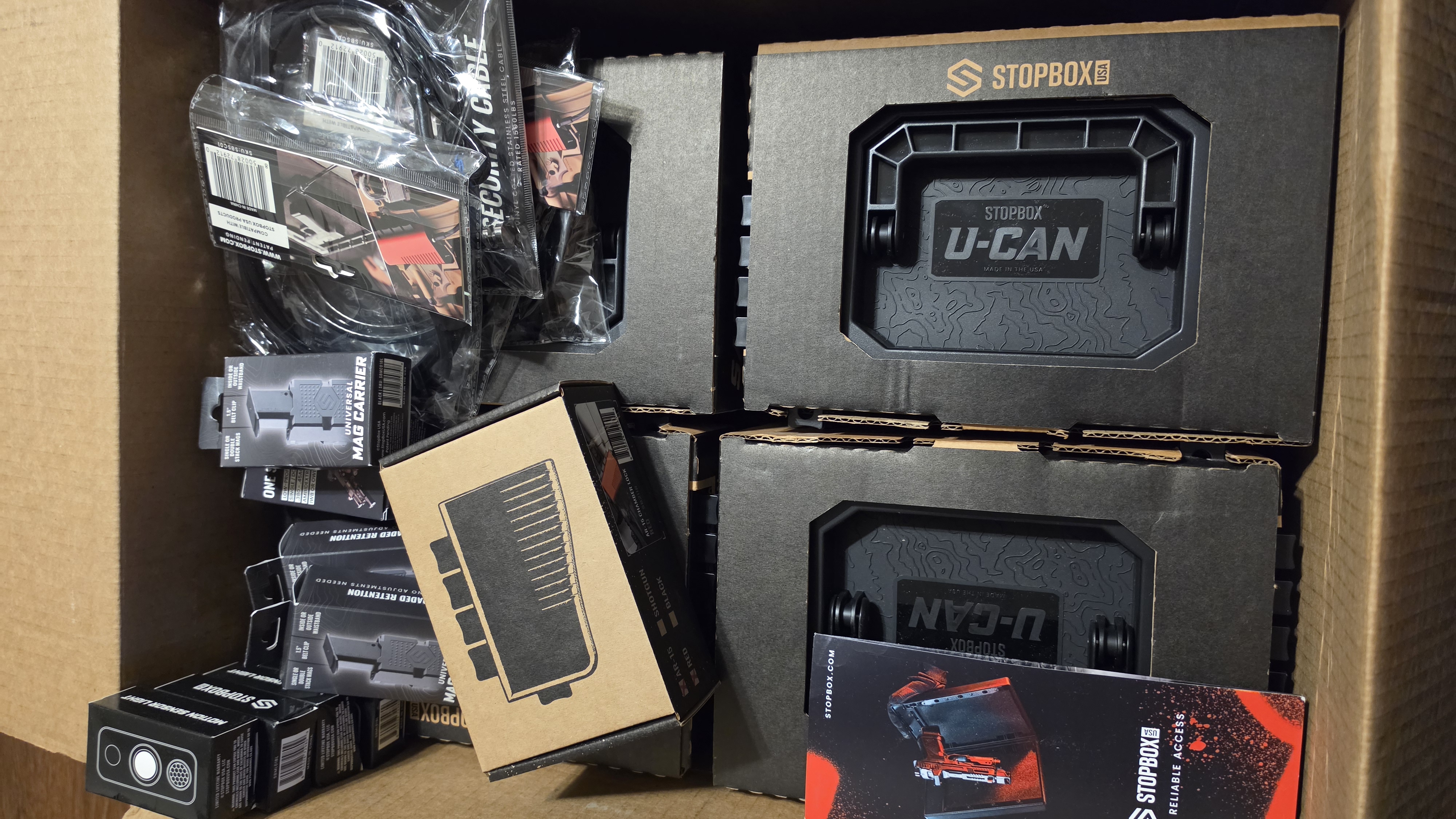

New drop
Fresh Buckeye Hunter Hub tees & hoodies


Everything you need to hunt smarter — free
Buckeye Hunter Hub is a free, nationwide platform. Create an account and unlock the full toolkit:
Free Interactive Hunting Map
Mark stands, cameras, and sign. Draw hunting zones with public land & county overlays across all 50 states.
Zones with Group Sharing
Share zones with your hunting group, split property into sections, assign stands, and check in — all in one place.
50 States of Hunting Resources
Season dates, license links, and DNR regulations for every state, kept current so you never miss an opener.
Deer Movement Forecast
Data-driven daily movement predictions using wind, moon, and pressure — know when to sit before you go.
Waterfowl Movement & Tools
Flight-potential forecasts, migration numbers, decoy spread planner, and a full species field guide.
From the Maker Bench

Taggart Outdoors
Padded Rifle Sling
Hand-built in the USA · $134.99
Shop the MakerNew drop
Fresh Buckeye Hunter Hub tees & hoodies
Shop This

StopBox Pro Ward | Wall-Mounted
$179.00$199.99

StopBox Pro Compact
$159.00$179.99

Buckeye Hunter Hub Tee — No Tag Left Behind
$20.55

Buckeye Hunter Hub Hoodie — No Tag Left Behind
$32.87
E-Tag States
Harvest Tags
E-check means you supply the tag. Printed with the exact fields your state requires.
3-pack $19.95
More Articles
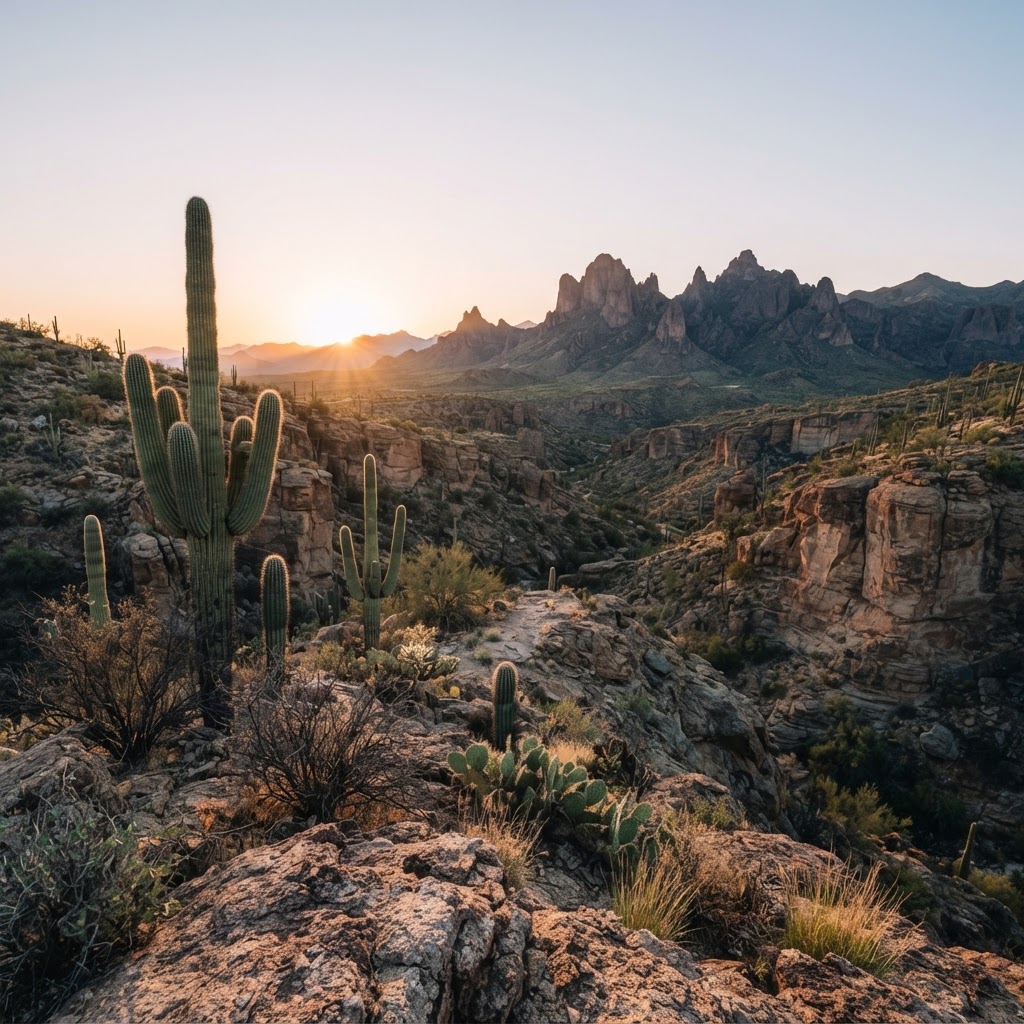
Desert Pursuits: A Comprehensive Guide to Arizona Big Game Hunting
From the high-country pines to the cactus-studded basins, Arizona offers some of the most challenging and rewarding hunting experiences in the American Southwest.
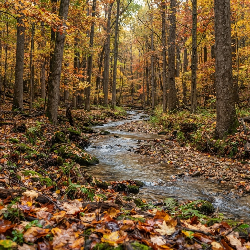
Hoosier Heartland Pursuit: A Tactical Guide to Indiana Public Land Hunting
Indiana is a hidden gem for the public land hunter. Discover how to navigate state-managed properties and national forests to find your next trophy while avoiding the crowd.
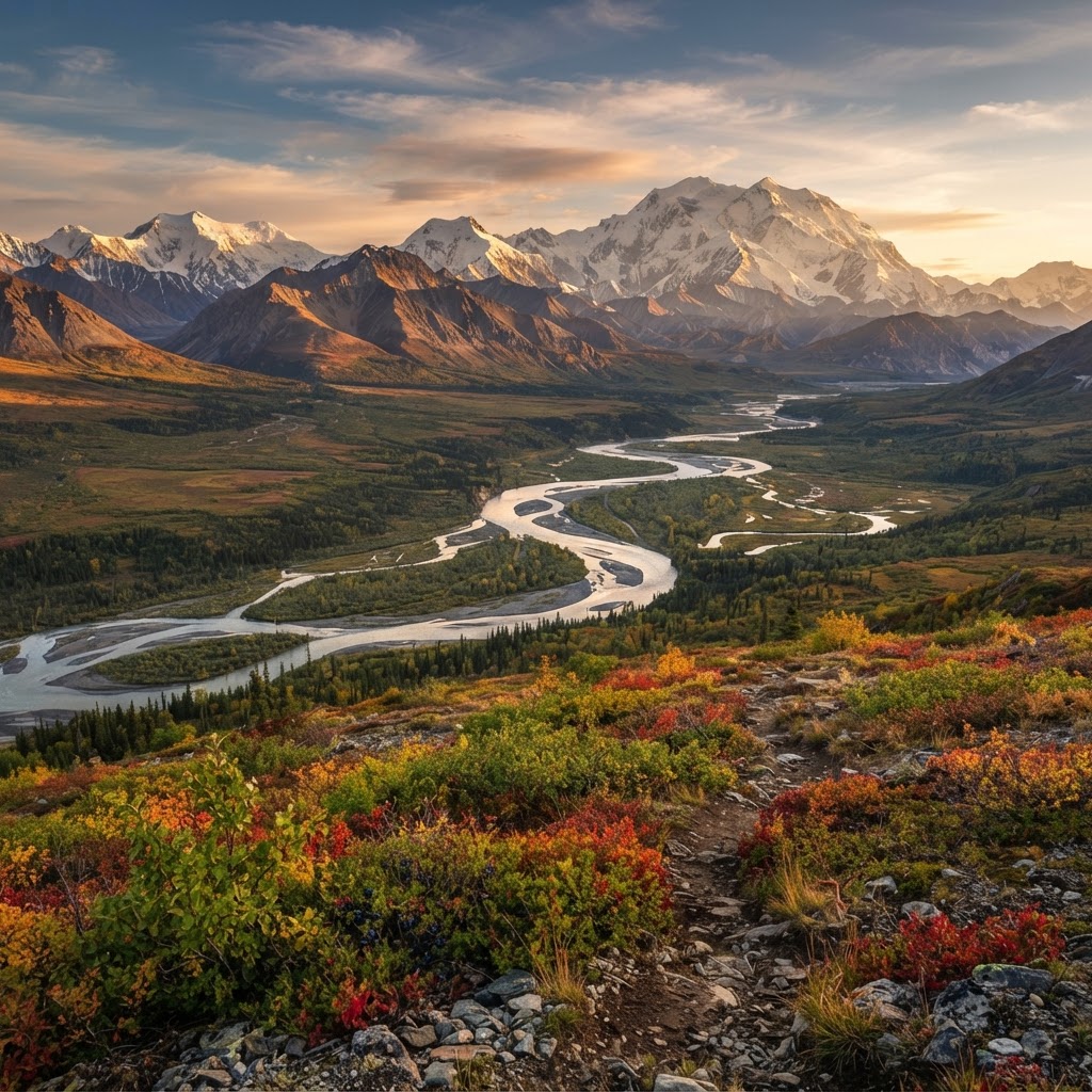
The Last Frontier: A Strategic Guide to Alaskan Big Game Hunting
Alaska offers the ultimate challenge for the American sportsman, combining vast wilderness with unmatched species diversity. From planning your logistics to understanding the unique terrain, here is how to navigate the complexities of hunting the Last Frontier.

Gear Up for the Field: Introducing the New Little Brown Duck Dog Hoodie
Meet your new favorite layer for the duck blind and beyond: the Buckeye Hunter Hub Little Brown Duck Dog hoodie is here to keep you warm and looking sharp.